Trail Overview
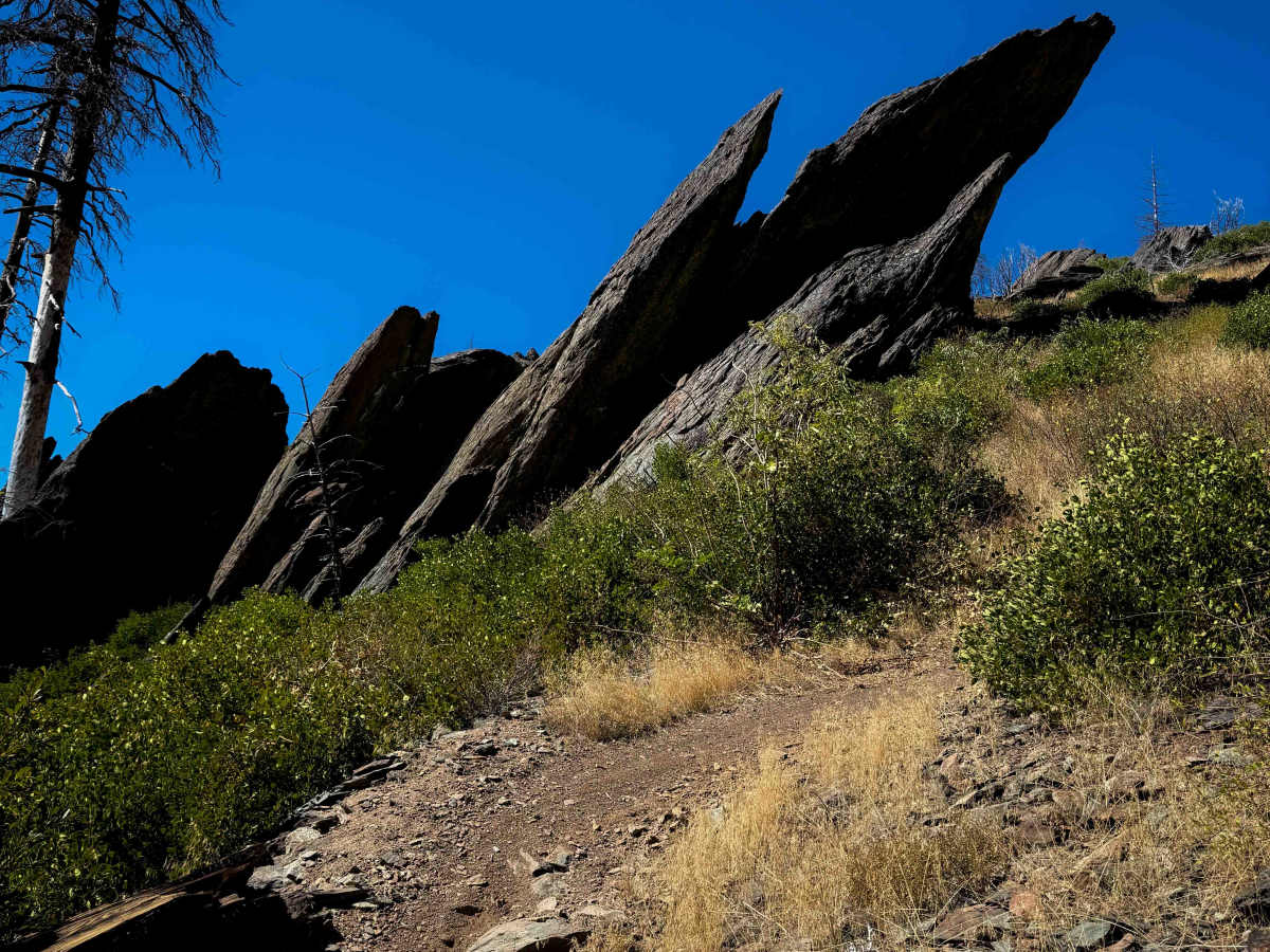
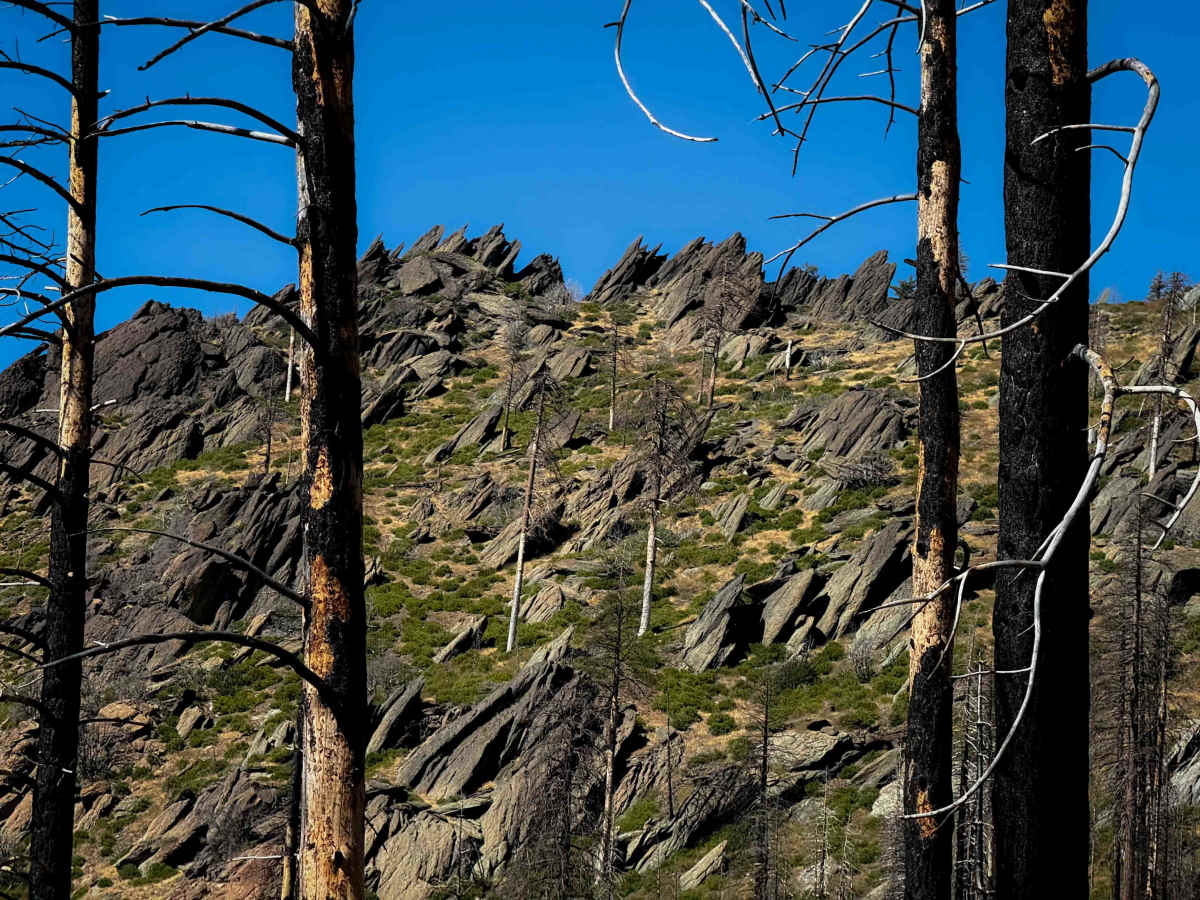
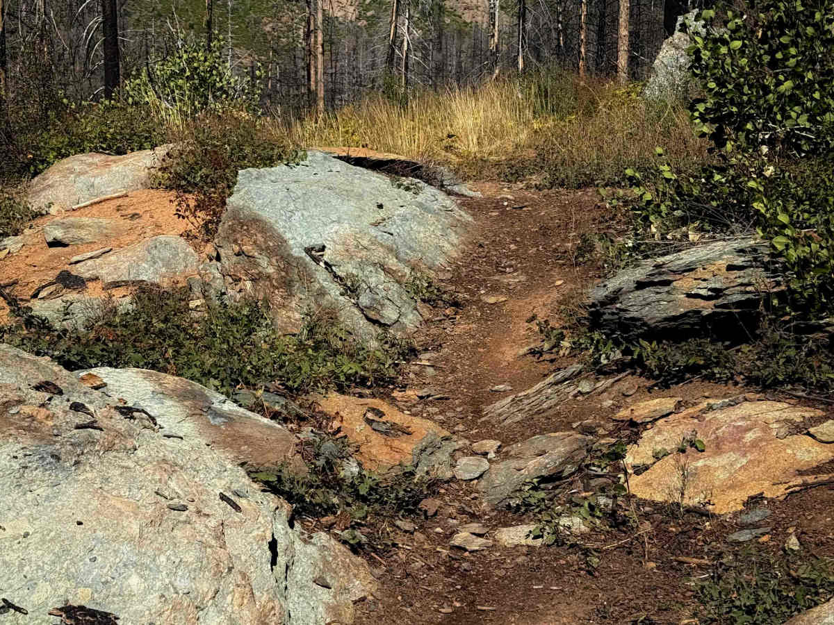
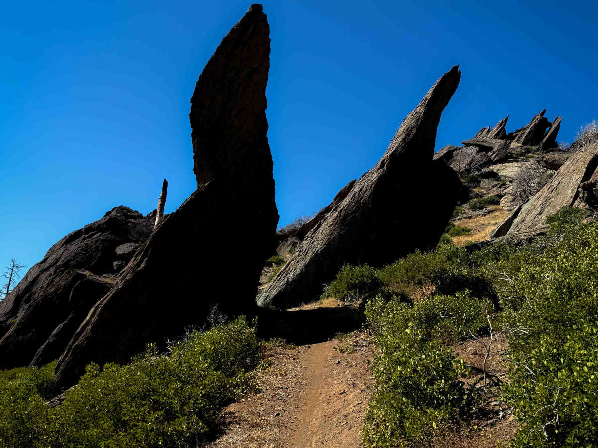
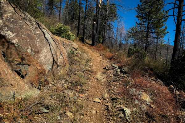
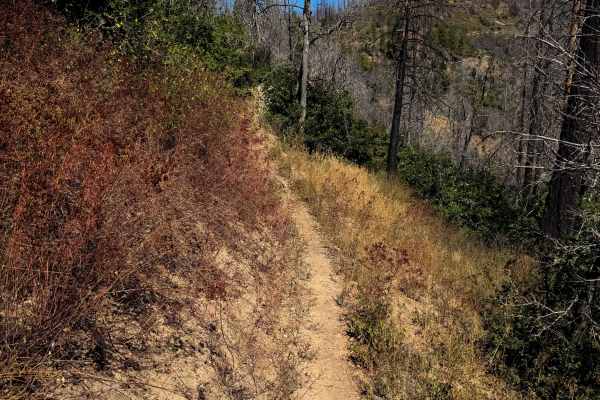
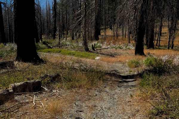
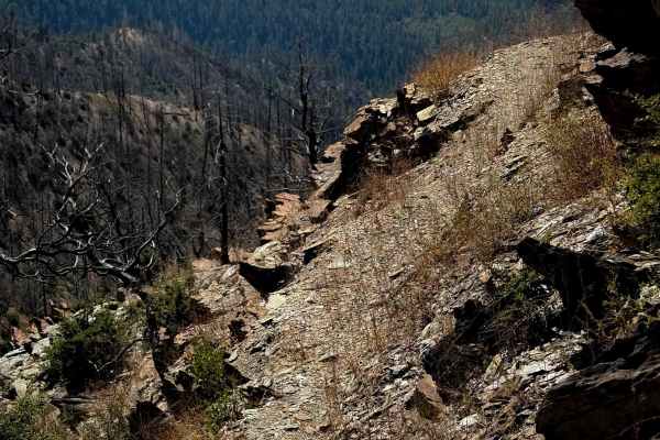
This is a really scenic and fun trail option in the Mount Hough trail system. It has several big rock features that make it one of the harder trails in the area. It makes a 2.8-mile loop off of Indian Falls Ridge. Going clockwise, it starts in a burn area on a wide path, meandering through the burnt trees with scenic views off the side of the hill. It climbs up to an incredible landscape with tall rock spires jutting out from the land, including some smaller ones that line the trail that are fun to ride next to. The trail weaves tightly through these rock formations for the middle potion of the route, making a loop that goes over several larger rock obstacles. There are some big ledges, drop-offs, and some ramped rock faces that you have to ride up and down, a couple of rock cracks you have to go through, with really tight turns. One is a long series of ledges that is ramped, but steep and more advanced. There is a 100-yard-long shortcut to avoid the majority of the rock obstacles. This is a great trail that shouldn’t be missed by the more experienced riders.
Difficulty
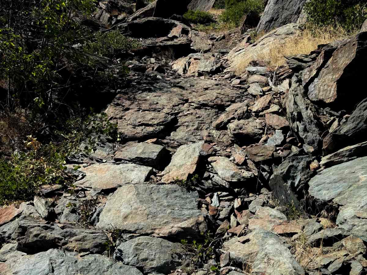
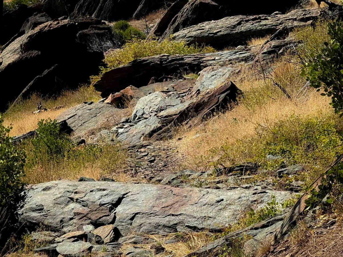
This trail is more difficult because of several large rock features, including rock ledges and drop-offs. Most of the obstacles are condensed into the middle portion of the route, and they can actually be skipped by taking the shortcut that reconnects to the trail after it loops around from all the obstacles. Some of the obstacles can’t be avoided, however.