
Dirt Bike Trails
Near Indian Falls, California
Explore All Dirt Bike Trails Near Indian Falls, California
Dirt Bike Trails Near Indian Falls, California
Discover the best dirt bike trails near you. Browse trail maps, check difficulty ratings, and find your next adventure — whether you're looking for a quick ride or an all-day expedition.
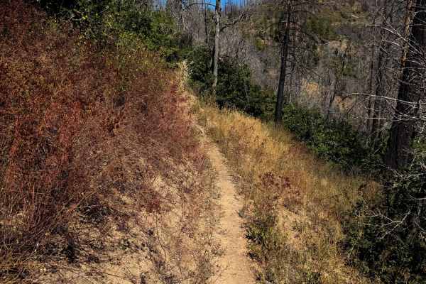
Lower Indian Falls Ridge
This is a fun singletrack accessed from the west side of the trail system that goes through dry and grassy terrain. The trailhead is on the corner of a switchback on 25N14 road, and it starts by going over a bunch of loose rock for the first couple turns of the trail as it gradually switchbacks up t...
Learn more about Lower Indian Falls Ridge
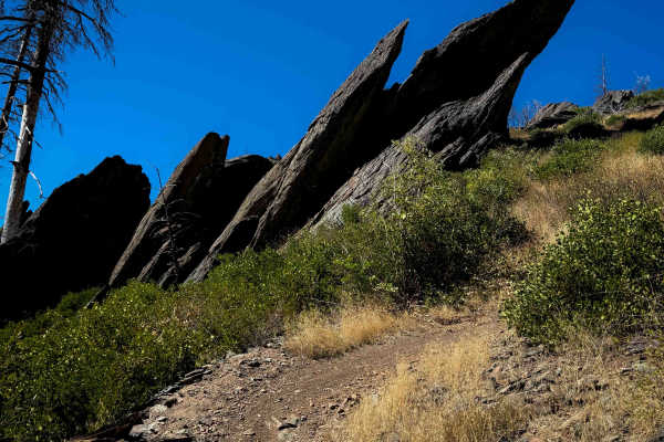
Indian Falls Ridge 2
This is a really scenic and fun trail option in the Mount Hough trail system. It has several big rock features that make it one of the harder trails in the area. It makes a 2.8-mile loop off of Indian Falls Ridge. Going clockwise, it starts in a burn area on a wide path, meandering through the burnt...
Learn more about Indian Falls Ridge 2
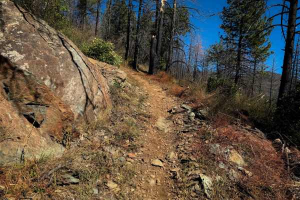
Indian Falls Ridge
Indian Falls Ridge is a fun and moderately easy trail on the north end of the Mount Hough Trail system, which is mostly fast and flowy, with a few more technical sections, and great views. The west end starts in a burn area on an easy path, with minor embedded rock surfaces. It starts to ascend as i...
Learn more about Indian Falls Ridge
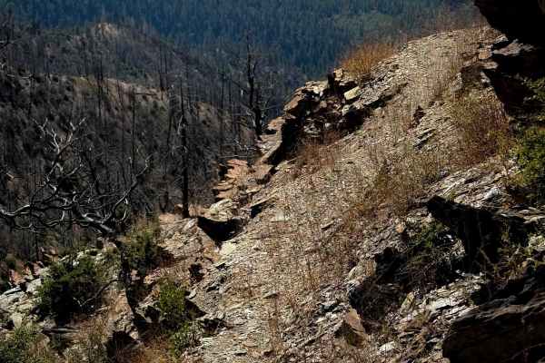
Keddie
Keddie is a 2-mile-long singletrack on the west side of the Mount Hough Trail System that is less trafficked and more primitive. It starts on the east end at an intersection with Acorn Grotto, then crosses the road, and goes along an old shelf road. The shelf has overgrown grass and will likely have...
Learn more about Keddie
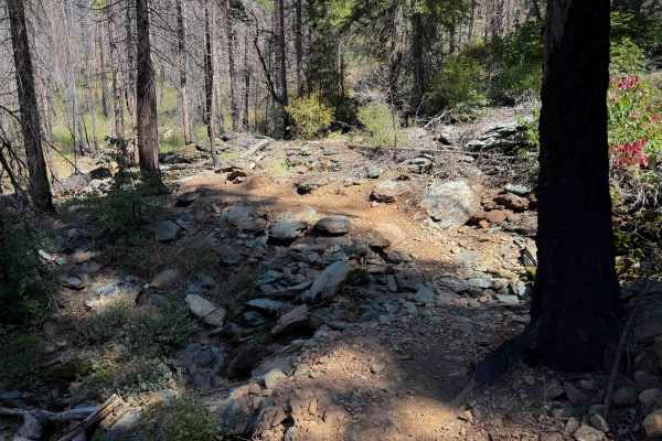
Upper Acorn Grotto
The upper 4.6 miles of Acorn Grotto are slightly easier than the Lower Acorn Grotto segment, as it doesn’t have as much exposure. The south end starts as a shelfy trail curving along the edge of the hillside, through a burn area. The trail was clear of logs, but there will always be potential for do...
Learn more about Upper Acorn Grotto
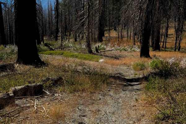
10M29
This is one of only a few ATV options in the Mount Hough Trail System. It starts near the Mount Hough Trailhead on the north end at a marked entrance, and descends down several wide and gradual switchbacks. The trail is narrow and primitive, with not many tracks, and it doesn’t look very ridden by A...
Learn more about 10M29
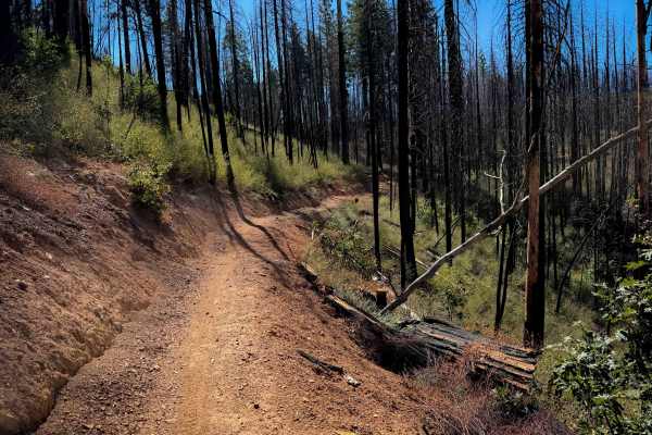
Acorn Connector
This is a 1-mile connecting piece of trail between the upper and lower segments of the Acorn Grotto Trail. This segment is easy, as it climbs up a hillside on a wide smooth path for the first half of the route, then descends back down. It’s a little bit shelfy as it hugs the hillside, but it does no...
Learn more about Acorn Connector
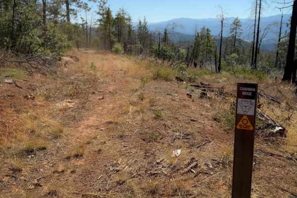
Cashman Ridge
This is one of only a few ATV trails in the Mount Hough Trail System. It’s primitive and overgrown, mostly following the path of an old forest road. It climbs up a hillside next to a ravine, with grass in the trail, and big waterbars. It goes through a very dry and sparse pine forest, and will have ...
Learn more about Cashman Ridge
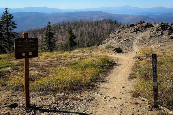
Mount Hough
Mount Hough is the longest trail in the trail system, at 11 miles long, and is popular with downhill mountain bikers as it is a fun and flowy descent, dropping almost 4,000 feet in elevation gain from north to south. It’s a pretty gradual descent, with big banked corners, wide switchbacks, and mild ...
Learn more about Mount Hough
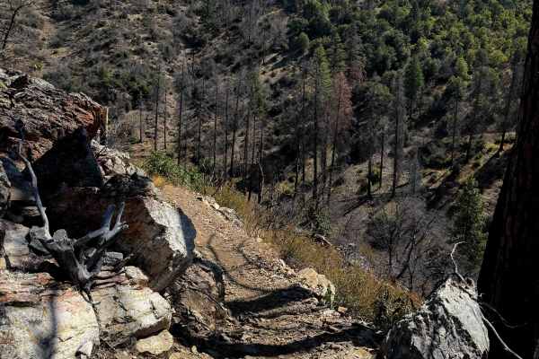
Lower Acorn Grotto
The lower portion of Acorn Grotto is a fun new trail on the west side of the Mount Hough Trail System, and will also be popular with mountain bikers. The south end starts as an easy path meandering through the oak trees in flat dry terrain. It starts to get shelfier as it goes around the edge of the...
Learn more about Lower Acorn Grotto
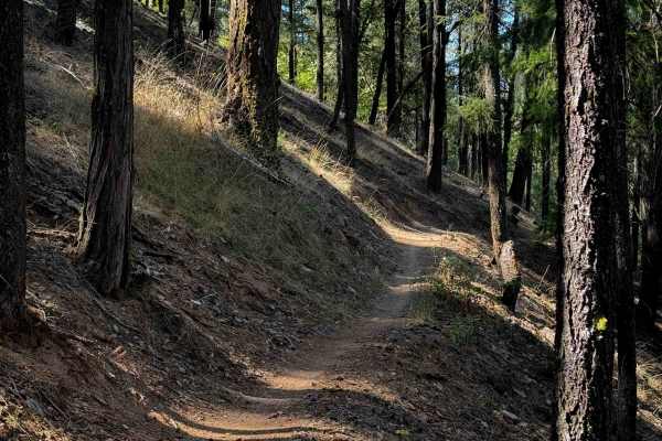
Huffleberry
Huffleberry is a short connector trail – 1 mile long – that connects the road 10M20 to the Berry Creek Trail. It’s mostly a semi-steep descent from south to north, as it side-hills across some dry pine hillsides on a narrow shelfy single track. There are several really wide switchbacks right away th...
Learn more about Huffleberry
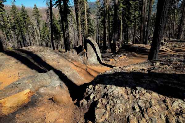
Upper Tollgate
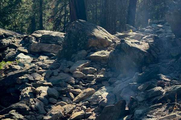
The north end of Upper Tollgate drops off of the Mount Hough trail, and it descends through a scenic and rocky section of forest. This segment of the trail has been built up with lots of dirt jumps and rock features by the mountain bikers, making it a fun downhill descent. The majority of the rock f...
Learn more about Upper Tollgate
Lower Tollgate
The lower 4.3 miles of Tollgate are fun and technical. The east entrance starts off of Mount Hough Trail, and immediately crosses Tollgate Creek, which was shallow with a few embedded rocks. This was one of the only creeks with running water in the whole trail system in late summer as it is a really...
Learn more about Lower Tollgate
QTC
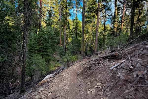
This is a short trail that connects Kings Crossing to the 4x4 road 10M52. It drops down from Kings Crossing with a few really wide and smooth switchbacks. It weaves through the pine trees with some tight turns and a few embedded rock surfaces and boulders lining the trail. The trail is pretty narrow...
Learn more about QTC
Berry Creek Tie
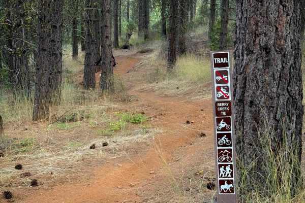
This is a short connector trail in the Mount Hough trail system. The south end starts across from the Fireline trail, and after .6 miles it joins the Berry Creek Trail. It’s overall very easy and gradual, with the steepest part being on the south end as it descends through a couple of gradual switc...
Learn more about Berry Creek Tie
Fireline
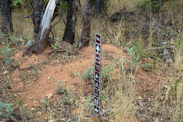
The west end of Fireline starts across the road from the Berry Creek Tie, and it makes a .7 mile long loop to the main road (403) just south of the 4 Corners staging area. It’s a very easy and approachable trail, being a wide single track through a dry and sparse pine forest. The trail meanders alon...
Learn more about Fireline
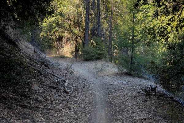
Berry Creek
Berry Creek is a 2.2-mile-long moderate dirt bike trail in the Mount Hough trail system. From the west end, it starts off flowy and flat along an old shelf, going through a shaded corridor. It crosses a small rocky dry ravine bottom, then goes up a couple of moderate switchbacks and gets pretty stee...
Learn more about Berry Creek
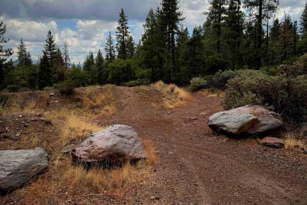
MX Track
The MX track is located at the Four Corners Trailhead, and it makes an easy loop that is less than half a mile long. It’s a more primitive track with a light layer of small loose rocks on it in spots, shallow ruts, and small embedded rocks. It’s lined with small pine trees and shrubs. There are a fe...
Learn more about MX Track
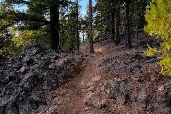
Kings Crossing
The east end of this easy connector trail starts at the road intersection of 10M25 and 25N10Y, and it goes west to 403. There’s a small additional piece of trail that connects to the Mount Hough Trail on the west side of 403. From the east end, it weaves around a rock outcropping, then passes the in...
Learn more about Kings Crossing
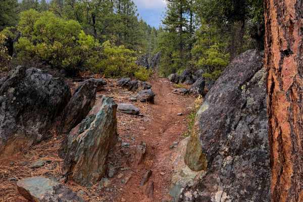
Taylor Creek
Taylor Creek is a fun single track that starts near the Four Corners Trailhead in the Mount Hough trail system. It winds for 5.6 miles through the low alpine hills, gradually ascending over 1,600 feet elevation from south to north. A majority of the trail is fast and flowy with tight curves through ...
Learn more about Taylor Creek
ATV trails near Indian Falls, California
Explore ATV-friendly trails near you. These trails are accessible for vehicles up to 50 inches wide, perfect for ATVs and smaller off-road machines.
10M29
This is one of only a few ATV options in the Mount Hough Trail System. It starts near the Mount Hough Trailhead on the north end at a marked entrance, and descends down several wide and gradual switchbacks. The trail is narrow and primitive, with not many tracks, and it doesn’t look very ridden by A...
Learn more about 10M29
Cashman Ridge
This is one of only a few ATV trails in the Mount Hough Trail System. It’s primitive and overgrown, mostly following the path of an old forest road. It climbs up a hillside next to a ravine, with grass in the trail, and big waterbars. It goes through a very dry and sparse pine forest, and will have ...
Learn more about Cashman Ridge
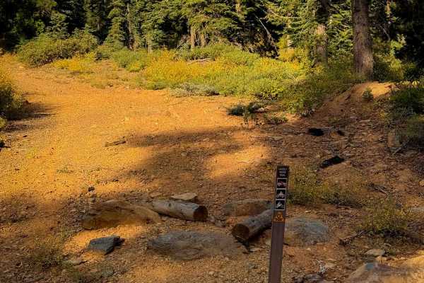
Grizzly Ridge
This is one of only a couple ATV options within the Mount Hough trail system. It is 1.9 miles long, and starts out on the west end by climbing straight up a hillside on a more primitive trail that looks like it used to be a road. It’s pretty smooth with a few ruts. It narrows up about half way throu...
Learn more about Grizzly Ridge
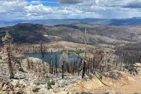
Taylor Lake/Lucky S Mine/Kettle Rock Lookout Loop
The Taylor Lake/Lucky S Mine/Kettle Rock Lookout Loop is a scenic, moderately challenging 18.9-mile adventure in the Plumas National Forest that is perfect for four-wheel-drive vehicles, OHVs, and SxSs looking to combine historic exploration with high-elevation vistas. Offering a technical rating of...
Learn more about Taylor Lake/Lucky S Mine/Kettle Rock Lookout Loop
UTV/side-by-side trails near Indian Falls, California
Find UTV and side-by-side trails near you. These trails accommodate vehicles up to 60 inches wide, ideal for UTVs, side-by-sides, and wider off-road rigs.
Taylor Lake/Lucky S Mine/Kettle Rock Lookout Loop
The Taylor Lake/Lucky S Mine/Kettle Rock Lookout Loop is a scenic, moderately challenging 18.9-mile adventure in the Plumas National Forest that is perfect for four-wheel-drive vehicles, OHVs, and SxSs looking to combine historic exploration with high-elevation vistas. Offering a technical rating of...
Learn more about Taylor Lake/Lucky S Mine/Kettle Rock Lookout Loop
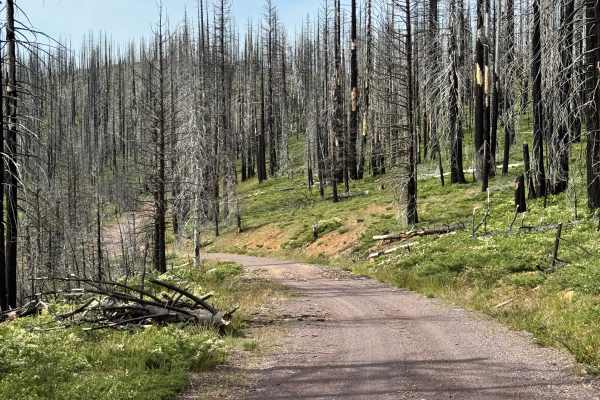
Coyote (Collins 500) - FS 28N36
This is mostly a gravel trail through a previously burned section of the forest. There's also a campground called Soldier Meadows Campground that was closed at the time of mapping the trail in early June. It's not clear if there's a time it will open. There's a nice creek that runs along a section o...
Learn more about Coyote (Collins 500) - FS 28N36
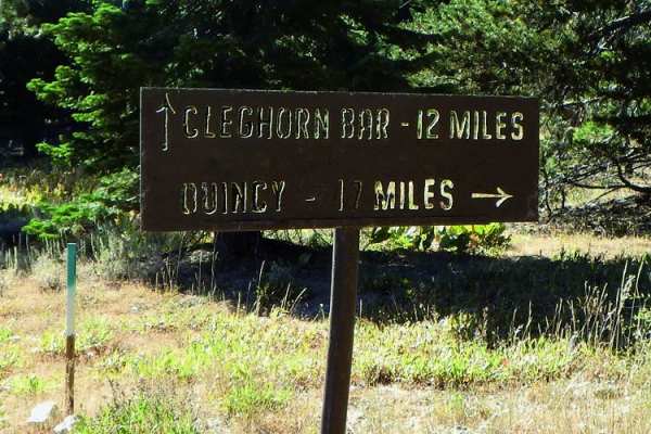
Cleghorn Bar
Cleghorn Bar offers an adventurous off-road trek through Plumas National Forest, making it perfect for intermediate drivers seeking a scenic descent into a remote river canyon. This 11.7-mile route starts along a relatively easy gravel forest road, winding through beautiful mountain valleys and over...
Learn more about Cleghorn Bar
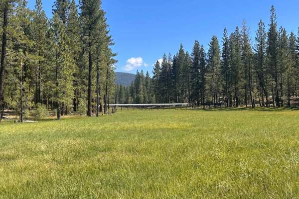
Gator's Flume Run
This is a great, easy-to-moderate trail during the summer that just about any capable 4WD vehicle can enjoy. The route crosses Goodrich Creek and the adjacent historic flume, offering beautiful scenery and several great spots to stop and take in the views.
Be aware that this trail is highly seasona...
Learn more about Gator's Flume Run
The onX Offroad Difference
onX Offroad combines trail photos, descriptions, difficulty ratings, width restrictions, seasonality, and more in a user-friendly interface. Available on all devices, with offline access and full compatibility with CarPlay and Android Auto. Discover what you're missing today!
Open Trail Map