Trail Overview
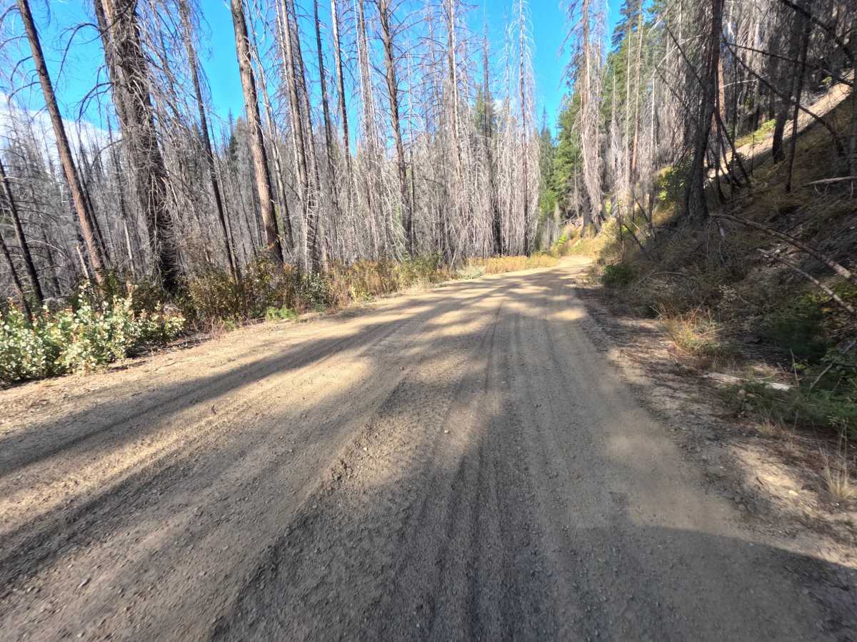
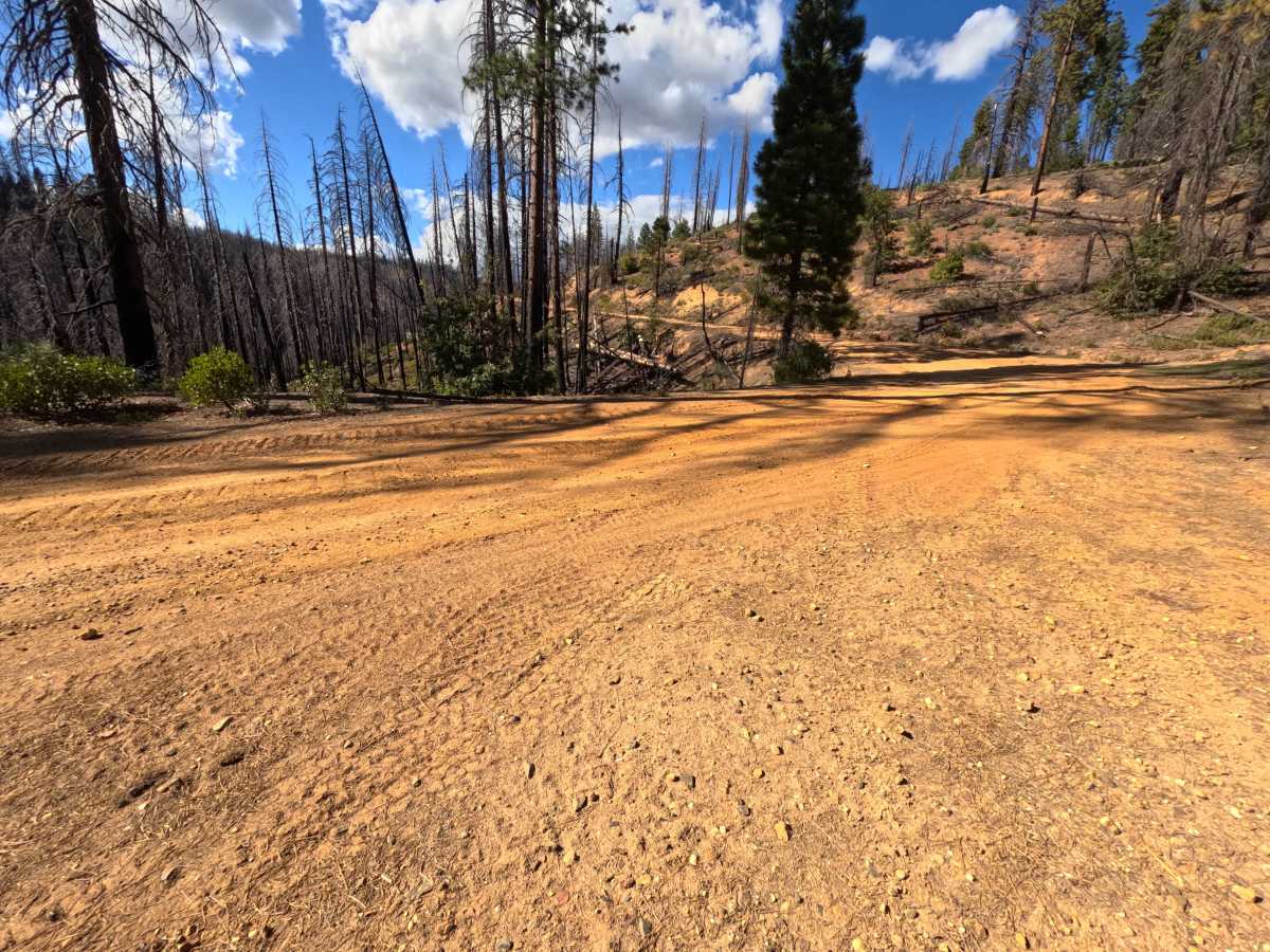
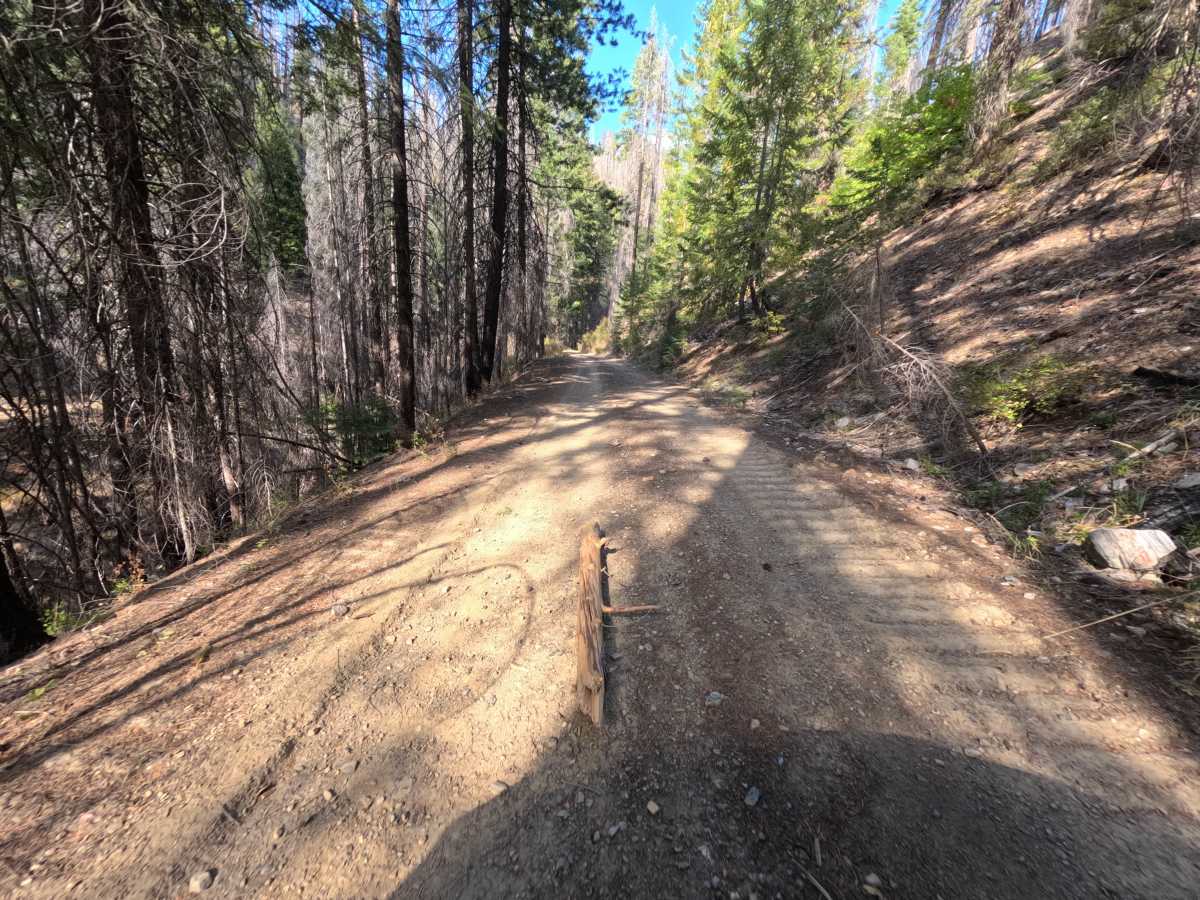
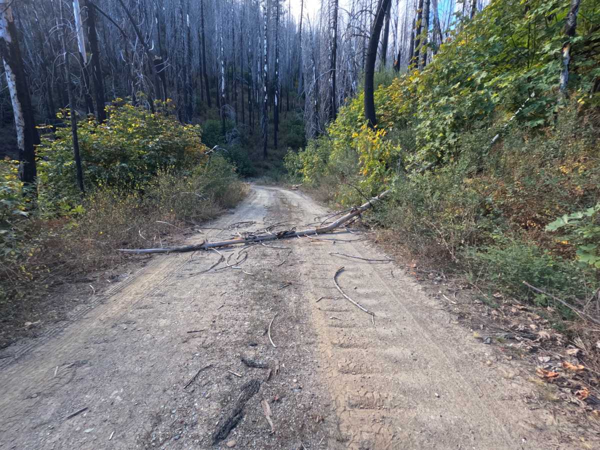
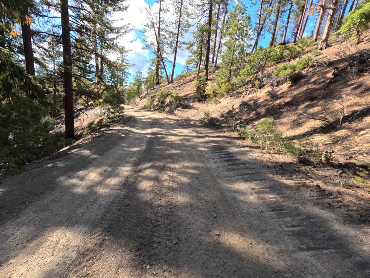
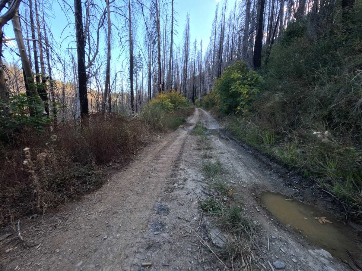
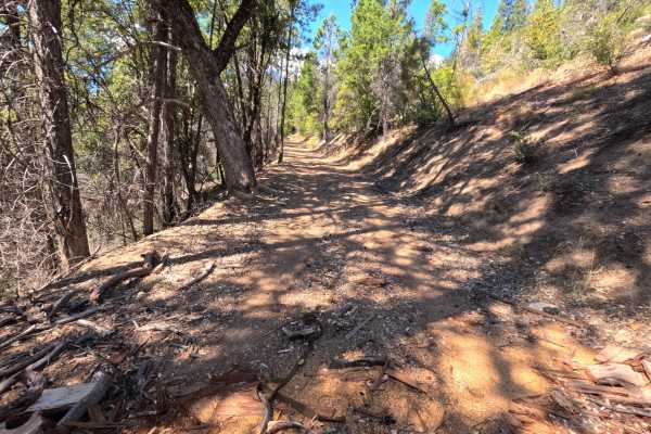
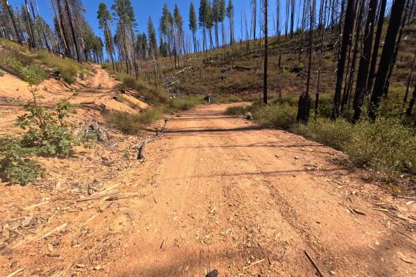
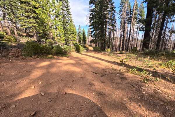
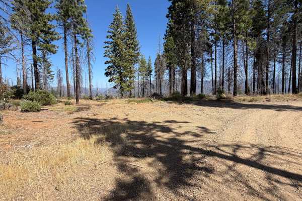
Rush Hill Motor Way (FS 27N17) begins at the Rush Hill road (FS 25N21) in the Plumas National Forest and runs roughly 6.1 miles as a long out-and-back drive through the Feather River high country. Much of the route crosses a vast burn scar left by the 2021 Dixie Fire, where thousands of silver and blackened snags tower above a thick regrowth of shrubs, maples, and young conifers that turn gold and yellow in fall, with pockets of surviving green pine and fir along the way. The road is wide, well traveled, and generally smooth, benched into the hillside with cut banks rising on the uphill side and occasional views across burned ridges to distant mountains. The surface starts as firm dirt and fine gravel but soon turns to soft, powdery silt that holds tire tracks. At a horseshoe bend, a short side road drops to a small bridge over the creek, where a dispersed campsite has room for two or three vehicles. The route ends at a bend with room to turn around. Summer and fall offer the driest conditions.
Difficulty
Rated a 1 because this is a wide, gently graded dirt road with no real obstacles. Long stretches of soft, powdery silt reduce traction slightly and kick up dust, and a few low spots can hold shallow puddles after rain. Light washboarding, loose gravel, and fallen bark and twigs from the surrounding snags appear in places. There are no ruts, rock obstacles, ledges, or steep climbs. Standard ground clearance is all that is needed at a relaxed pace.