Trail Overview
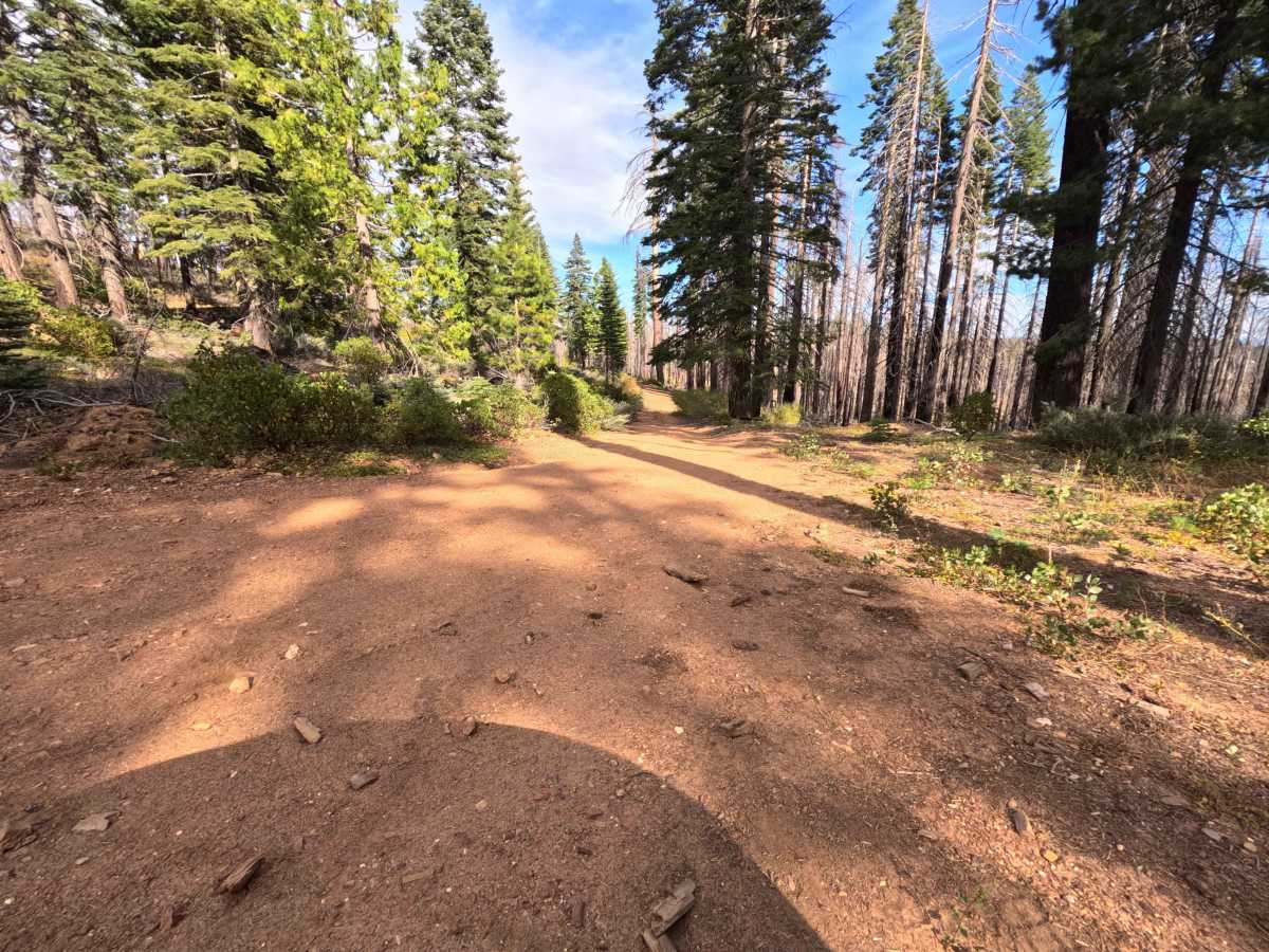
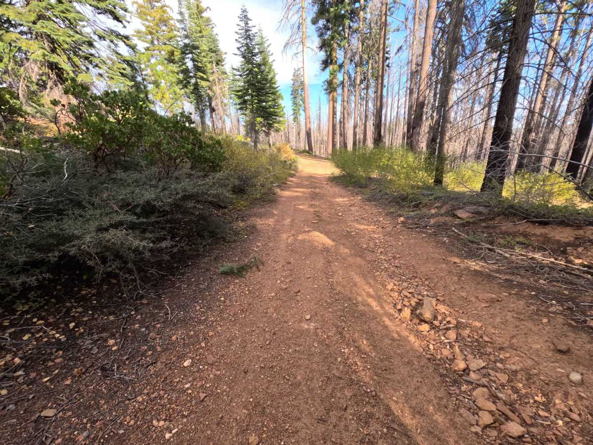
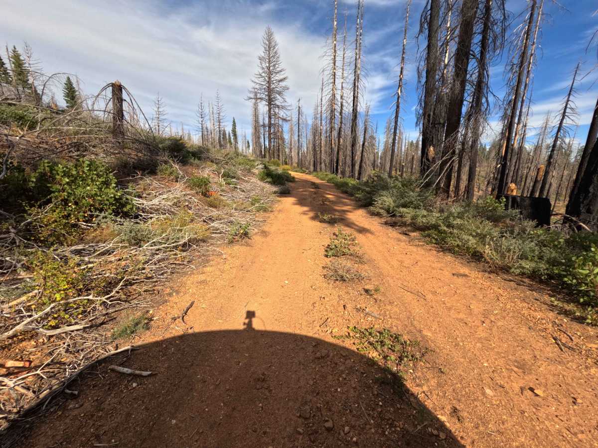
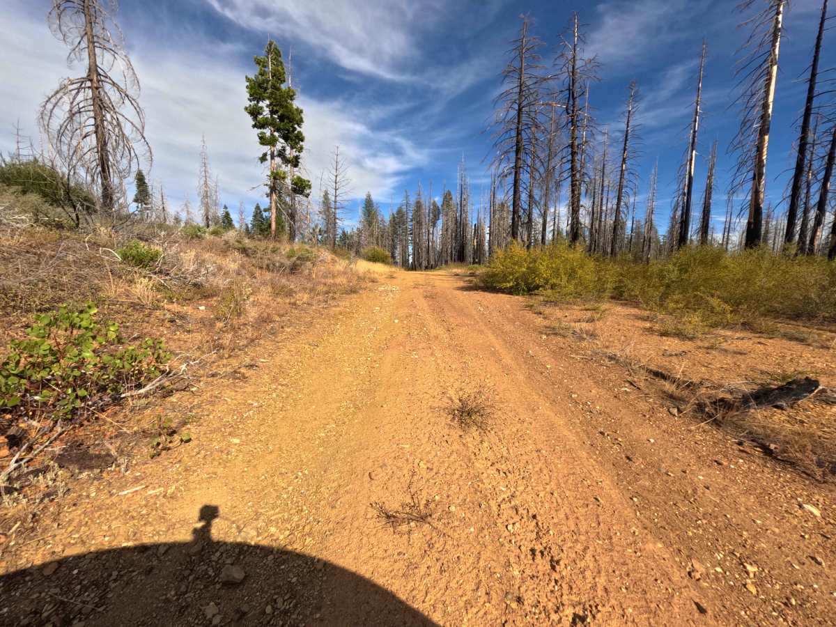
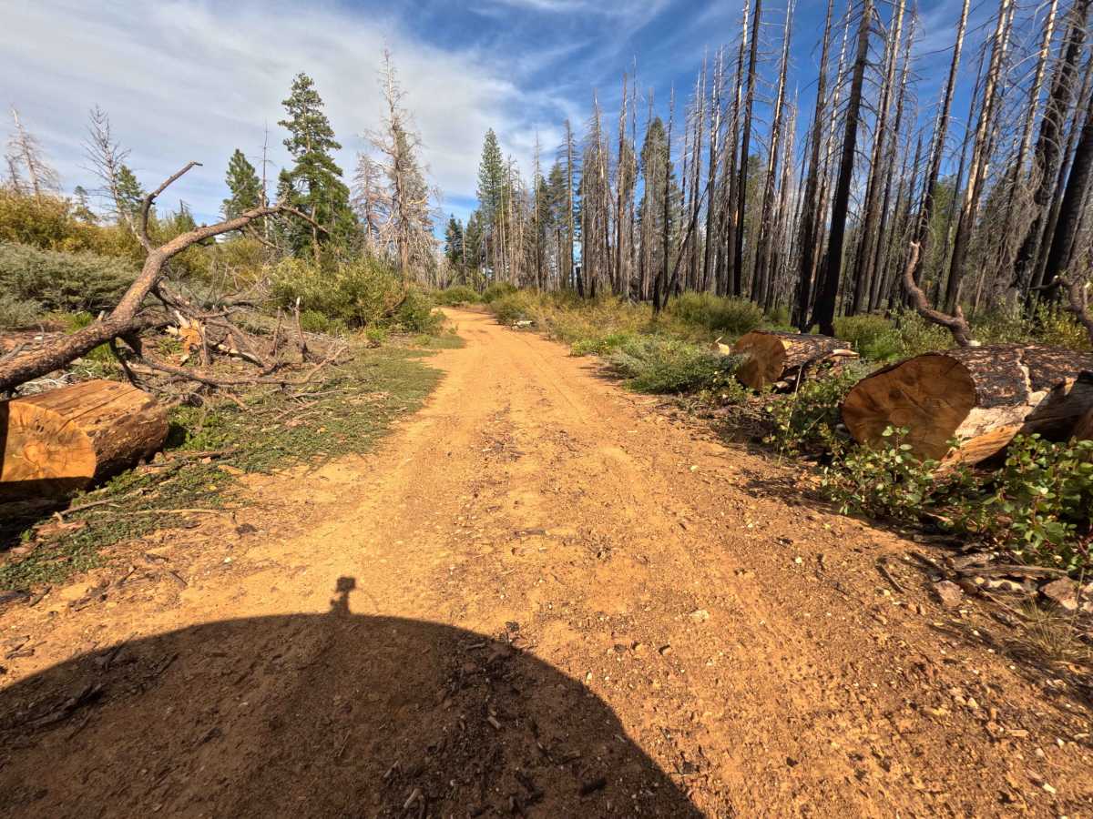
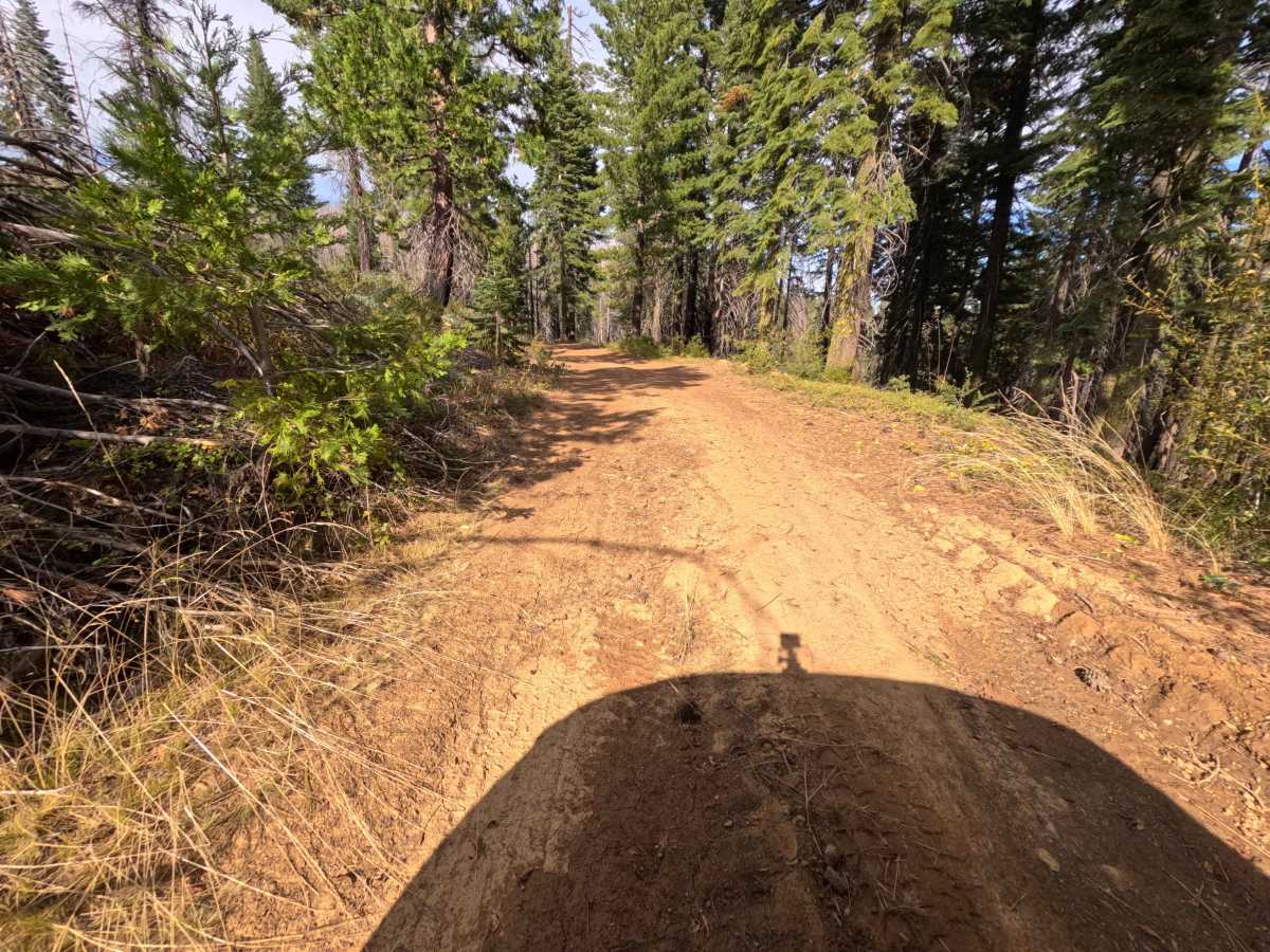
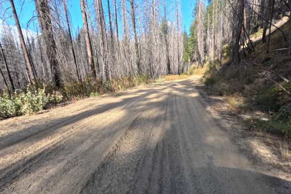
Branching away from the main ridgeline, Dark Fork (FS 26N15Y) operates as a brief, single-track dirt connector ultimately linking down to Fox Road. The pathway gradually descends through a highly exposed, heavily fire-scarred section of the Plumas National Forest that is actively recovering from the 2021 Dixie Fire, leaving stark, blackened snags standing above thick, regenerating brush. While the trail offers a direct, gently sloping descent, drivers should be aware that the route is frequently blocked; at the 1.2-mile mark, multiple large fallen trees currently barricade the path, effectively turning this intended connector into a dead-end spur and forcing an awkward turnaround in tight quarters. The driving surface consists of a narrow dirt track holding a moderate Grade 2 difficulty rating. With a little careful navigation around the surface ruts, this route provides a stark view of the forest's ongoing regeneration before the sudden deadfall brings the drive to an end.
Difficulty
This single-track dirt connector presents a generally flat and gentle descent before concluding abruptly. Extreme rock obstacles and deep mud bogs are completely absent from this path. The primary surface challenges involve navigating a series of persistent earthen ruts; however, these washouts are relatively shallow and can be easily straddled by maintaining a careful, centered tire line. The most significant hazard is the presence of multiple massive downed logs at the 1.2-mile mark, which entirely block forward progress. Because the trail corridor is quite narrow and flanked by dense brush, drivers must execute a tight, multi-point turnaround just before the deadfall. Any standard passenger vehicle with basic ground clearance can comfortably manage the shallow ruts under dry conditions, provided the operator remains alert for newly fallen timber within the burn zone.