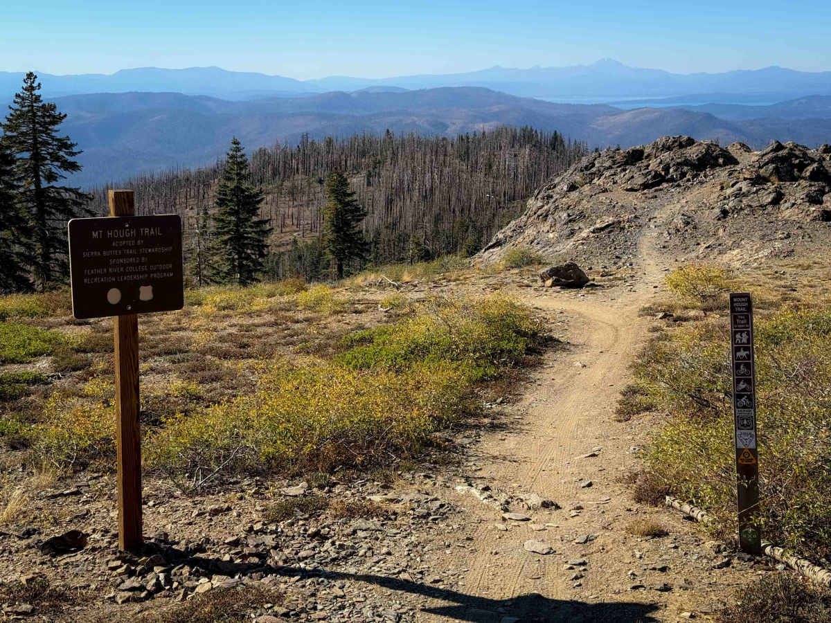
Trail Overview
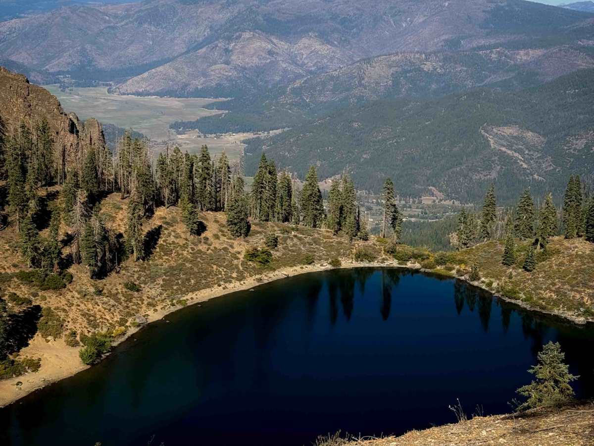
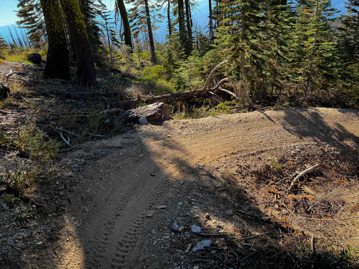
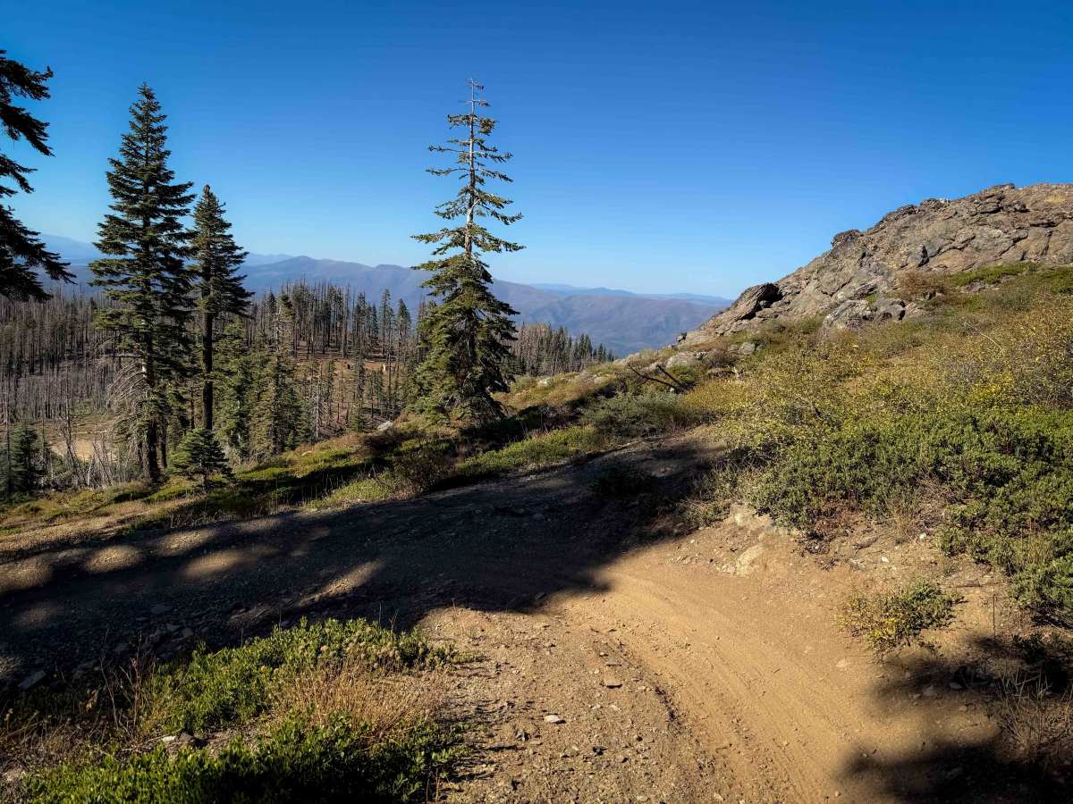
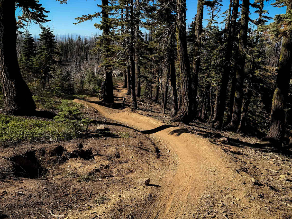
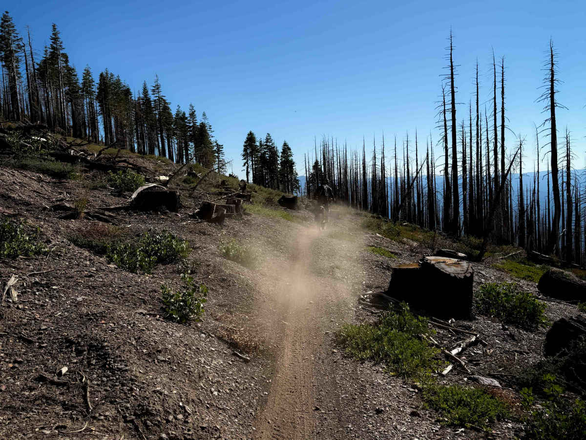
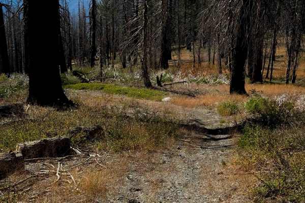
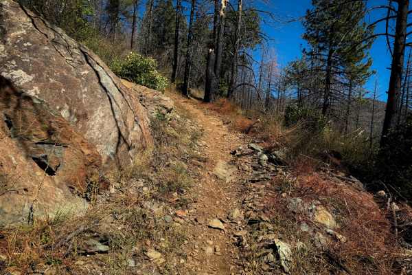
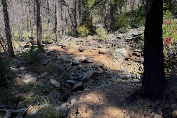
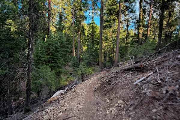
Mount Hough is the longest trail in the trail system, at 11 miles long, and is popular with downhill mountain bikers as it is a fun and flowy descent, dropping almost 4,000 feet in elevation gain from north to south. It’s a pretty gradual descent, with big banked corners, wide switchbacks, and mild exposure. The entrance on the north end is very scenic as it overlooks Crystal Lake below the Mount Hough Fire Tower and goes past some scenic rock outcroppings. There are multiple bailouts along the way to exit to Road 403, Tollgate Road (25N73), or Hough Road (25N14) if you don’t want to ride the whole trail. The northern half of this trail is the easiest, being the most gradual and flowy. It has some tighter turns on the southern half of the trail and more shelf exposure. Most of the trail is very smooth dirt, but there are a few embedded rocks here and there that add some texture, but no major obstacles. This trail is highly maintained and will likely not have any logs.
Difficulty
Although 11 miles long, this is a relatively easy trail that is ideal for riders with basic skill levels. Expect minor sections of embedded rock, easy switchbacks and mild exposure.