
Dirt Bike Trails
Near Palmer, Tennessee
Explore All Dirt Bike Trails Near Palmer, Tennessee
Dirt Bike Trails Near Palmer, Tennessee
Discover the best dirt bike trails near you. Browse trail maps, check difficulty ratings, and find your next adventure — whether you're looking for a quick ride or an all-day expedition.
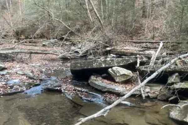
Coalmont Trail 2 Blue
Coalmont Trail 2 (Blue) is an exciting, moderate-difficulty off-road route designed for intermediate drivers seeking a technical challenge in the scenic Cumberland Plateau region. Spanning approximately 1.4 miles within the Coalmont OHV Park, this trail stands out for its steep hill climb featuring ...
Learn more about Coalmont Trail 2 Blue
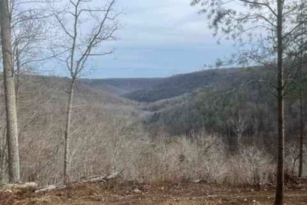
Coalmont Trail 17
Trail 17 goes from Trail 15 to Trail 1. Along the way, you will encounter steep hill climbs and descents. There are rocks up to 18 inches tall to climb over. The trail goes out to the bluff and drops off the hill, where it circles around the bottom and then climbs up to a beautiful overlook. At the ...
Learn more about Coalmont Trail 17
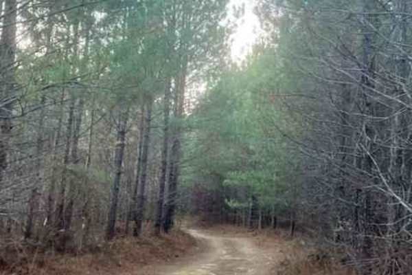
Coalmont Trail 11
Coalmont Trail 11 is an easy-going, scenic connector trail within the Coalmont OHV Park that is perfect for beginners, stock high-clearance 4x4 vehicles, and off-roaders looking for a relaxed ride. Spanning approximately one mile, this trail connects Trail 2 to Trail 13, offering a gentle route with...
Learn more about Coalmont Trail 11
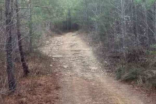
Coalmont OHV Trail 2 Green
Coalmont OHV Trail 2 Green is a short, beginner-friendly route in the Coalmont OHV Park, offering an easy cruise with scenic features perfect for riders of all skill levels. Measuring approximately 0.43 miles with minimal elevation change of around 43 feet, this trail connects Trail 3 to Trail 2 (Bl...
Learn more about Coalmont OHV Trail 2 Green
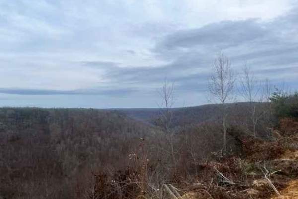
Coalmont OHV Trail 1 (Blue)
Located in the Heart of Grundy County, see what Coalmont OHV is about! This trail begins at a camping and parking area and passes a beautiful overlook right from the start. The overlook on this trail is the best view at Coalmont OHV. It is easily accessed in almost any vehicle. The trail drops off t...
Learn more about Coalmont OHV Trail 1 (Blue)
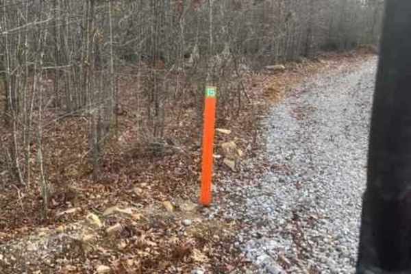
Coalmont Trail 15
Coalmont Trail 15 is an inviting, scenic warm-up loop perfect for novice offroaders and families looking to ease into their adventure at the Coalmont OHV Park. Spanning just under one mile, this beginner-friendly trail begins directly at the primary parking and camping area, looping around to connec...
Learn more about Coalmont Trail 15
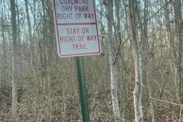
Pumping Station Access
Pumping Station Access serves as an easy, highly convenient connector trail for offroaders looking for a quick cut-through between the Coalmont OHV trail system and Company Farm Road. Spanning approximately 2.5 miles, this point-to-point route features minor elevation changes, dropping from a maximu...
Learn more about Pumping Station Access
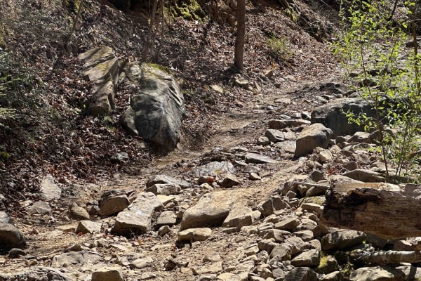
Coppinger Cove to Cave
Coppinger Cove is a wonderful trail with a mix of everything, dirt, rocks, mud, and water. The kick-off of this trail is a water crossing, one small obstacle that leads to a longer water crossing. From there you will continue to go up the trail going north running parallel to Little Sequatchie River...
Learn more about Coppinger Cove to Cave
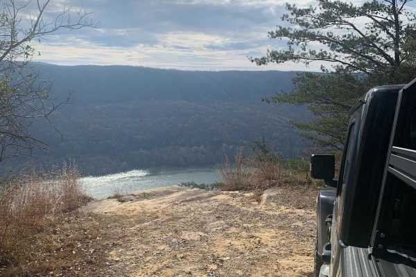
Tower Road
This is a very level and maintained road that any vehicle should be able to travel. This is the main road through Prentice Cooper Wildlife Management Area that you will use to access all of the other trails. There are some great views of Signal Mountain and the surrounding area from this trail. At t...
Learn more about Tower Road
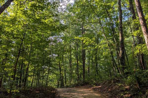
Braddison Branch Road
Braddison Branch Road is a primarily dirt trail on the northeast corner of Prentice Cooper. It can be slick and muddy after a rain, but otherwise it is an easy dirt trail through the woods. All trails at Prentice Cooper are subject to seasonal and weather-related closures. Prentice Cooper State For...
Learn more about Braddison Branch Road
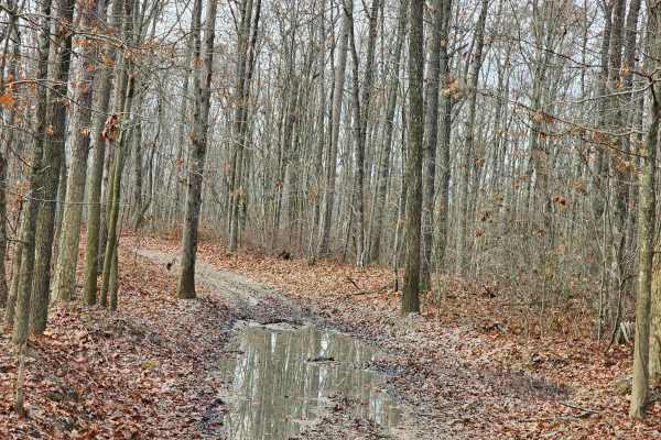
Sulfer Branch Road
Sulfer Branch Road is an easy single-lane gravel trail that is roughly two miles and takes about half an hour to complete. Multiple 2 Wheel Drive vehicles were on this trail, including minivans and small cars, along with many side-by-sides, 4-wheelers, and dirt bikes. This road winds through the for...
Learn more about Sulfer Branch Road
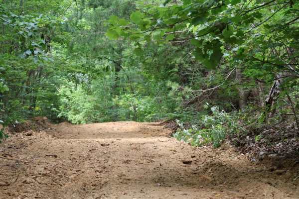
Inman Point Road
Inman Point Road is a scenic and moderately challenging trail nestled in the heart of Prentice Cooper State Forest. The trail kicks off with a steady incline featuring a mix of dirt and embedded rock—some of which reach up to 18 inches in size.
After the initial climb, the trail levels out into a w...
Learn more about Inman Point Road
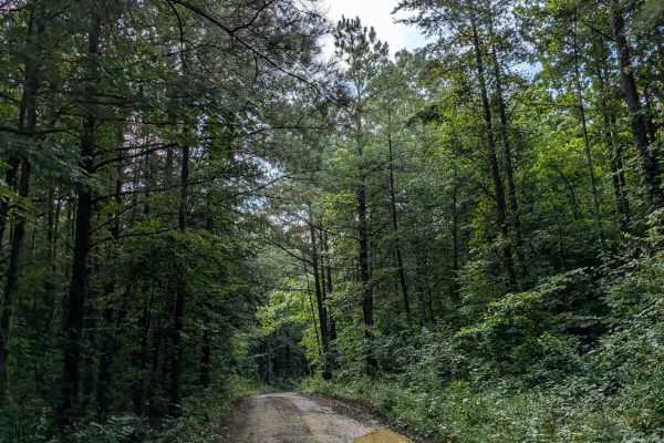
Lusk Point Road
Lusk Point Road is a dirt trail that leads from Tower Road to Lusk Point Overlook. It is primarily a dirt trail through the woods. The overlook is nice when the trees are bare, but otherwise is obscured by leaves unless you take a short walk along the nearby hiking trail. All trails at Prentice Coop...
Learn more about Lusk Point Road
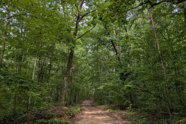
Rally Road
Rally Road is a short, relatively steep connector trail between Tower Road and East Brow Rd. On the Tower Road end, there is a nice pavilion with shaded picnic tables. All trails at Prentice Cooper are subject to seasonal and weather-related closures. More information can be found at https://www.tn....
Learn more about Rally Road
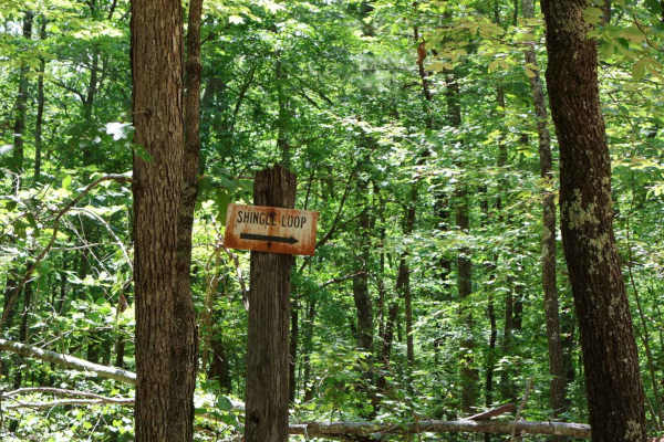
Shingle Loop
Shingle Loop is a short but fun 1.5-mile trail nestled in the heart of Prentice Cooper State Forest. Despite its compact distance, this loop delivers a variety of terrain and challenges that make it well worth the drive. The trail features multiple elevation changes and a series of scenic “S” turns ...
Learn more about Shingle Loop
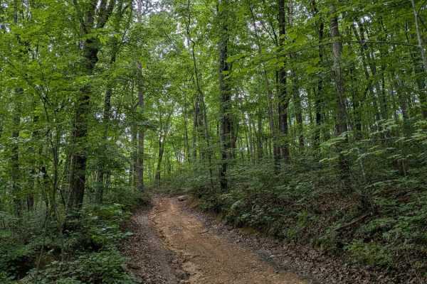
Inman Loop Road
Inman Loop Road is a primarily dirt trail through the woods on the western side of Prentice Cooper at the end of Inman Point Rd. The loop is the only way to access Limekiln Loop, Moore Rd, and Shingle Loop.
The trail does have some elevation change and a few rocky areas. All trails at Prentice Coop...
Learn more about Inman Loop Road

Short Creek Loop Road
Short Creek Loop Road is a 4.6-mile route through Prentice Cooper WMA featuring mostly dirt and sandy terrain with occasional rocky garden sections. This narrow, single-lane trail twists tightly through dense forest, offering a scenic backcountry drive typical of the area. The route intersects Maple...
Learn more about Short Creek Loop Road
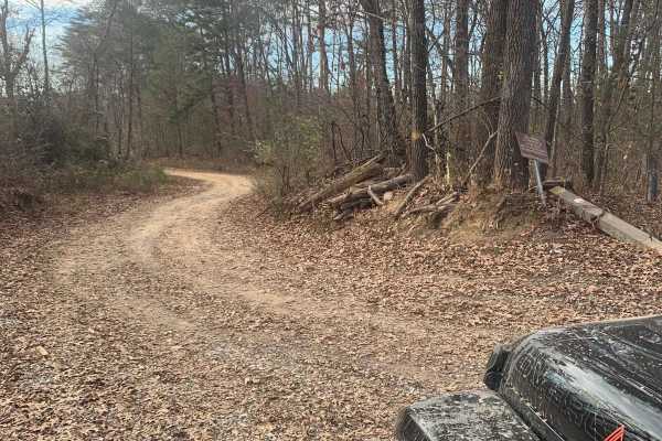
Hailey Road
This is a challenging trail but doable with a high-clearance vehicle as long as you choose very specific lines. We did this trail in a stock Jeep Gladiator with 33" tires with no lift and only maxed out our clearance one time. Before starting this trail remember, trail difficulty is subjective and l...
Learn more about Hailey Road
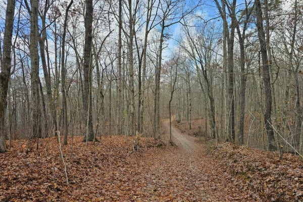
East Brow Road
East Brow Road is an easy single-lane gravel trail that is roughly two miles and takes about half an hour to complete. The road is well-maintained and winds through the forest, with one spot along the trail that could be difficult without higher ground clearance. The trail has a spot where you can s...
Learn more about East Brow Road
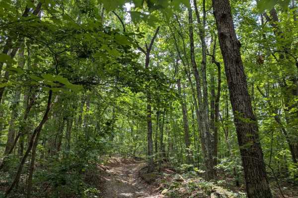
Limekiln Loop Road
Limekiln Loop Road is a wooded dirt trail that branches off of Inman Loop Rd. It will take you south to the edge of the gorge overlooking the Tennessee River, but the view is typically obscured by trees. All trails at Prentice Cooper are subject to seasonal and weather-related closures. More informa...
Learn more about Limekiln Loop Road
ATV trails near Palmer, Tennessee
Explore ATV-friendly trails near you. These trails are accessible for vehicles up to 50 inches wide, perfect for ATVs and smaller off-road machines.
Coalmont Trail 2 Blue
Coalmont Trail 2 (Blue) is an exciting, moderate-difficulty off-road route designed for intermediate drivers seeking a technical challenge in the scenic Cumberland Plateau region. Spanning approximately 1.4 miles within the Coalmont OHV Park, this trail stands out for its steep hill climb featuring ...
Learn more about Coalmont Trail 2 Blue
Coalmont Trail 17
Trail 17 goes from Trail 15 to Trail 1. Along the way, you will encounter steep hill climbs and descents. There are rocks up to 18 inches tall to climb over. The trail goes out to the bluff and drops off the hill, where it circles around the bottom and then climbs up to a beautiful overlook. At the ...
Learn more about Coalmont Trail 17
Coalmont Trail 11
Coalmont Trail 11 is an easy-going, scenic connector trail within the Coalmont OHV Park that is perfect for beginners, stock high-clearance 4x4 vehicles, and off-roaders looking for a relaxed ride. Spanning approximately one mile, this trail connects Trail 2 to Trail 13, offering a gentle route with...
Learn more about Coalmont Trail 11
Coalmont OHV Trail 2 Green
Coalmont OHV Trail 2 Green is a short, beginner-friendly route in the Coalmont OHV Park, offering an easy cruise with scenic features perfect for riders of all skill levels. Measuring approximately 0.43 miles with minimal elevation change of around 43 feet, this trail connects Trail 3 to Trail 2 (Bl...
Learn more about Coalmont OHV Trail 2 Green
UTV/side-by-side trails near Palmer, Tennessee
Find UTV and side-by-side trails near you. These trails accommodate vehicles up to 60 inches wide, ideal for UTVs, side-by-sides, and wider off-road rigs.
Coalmont Trail 2 Blue
Coalmont Trail 2 (Blue) is an exciting, moderate-difficulty off-road route designed for intermediate drivers seeking a technical challenge in the scenic Cumberland Plateau region. Spanning approximately 1.4 miles within the Coalmont OHV Park, this trail stands out for its steep hill climb featuring ...
Learn more about Coalmont Trail 2 Blue
Coalmont Trail 17
Trail 17 goes from Trail 15 to Trail 1. Along the way, you will encounter steep hill climbs and descents. There are rocks up to 18 inches tall to climb over. The trail goes out to the bluff and drops off the hill, where it circles around the bottom and then climbs up to a beautiful overlook. At the ...
Learn more about Coalmont Trail 17
Coalmont Trail 11
Coalmont Trail 11 is an easy-going, scenic connector trail within the Coalmont OHV Park that is perfect for beginners, stock high-clearance 4x4 vehicles, and off-roaders looking for a relaxed ride. Spanning approximately one mile, this trail connects Trail 2 to Trail 13, offering a gentle route with...
Learn more about Coalmont Trail 11
Coalmont OHV Trail 2 Green
Coalmont OHV Trail 2 Green is a short, beginner-friendly route in the Coalmont OHV Park, offering an easy cruise with scenic features perfect for riders of all skill levels. Measuring approximately 0.43 miles with minimal elevation change of around 43 feet, this trail connects Trail 3 to Trail 2 (Bl...
Learn more about Coalmont OHV Trail 2 Green
The onX Offroad Difference
onX Offroad combines trail photos, descriptions, difficulty ratings, width restrictions, seasonality, and more in a user-friendly interface. Available on all devices, with offline access and full compatibility with CarPlay and Android Auto. Discover what you're missing today!
Open Trail Map