Trail Overview
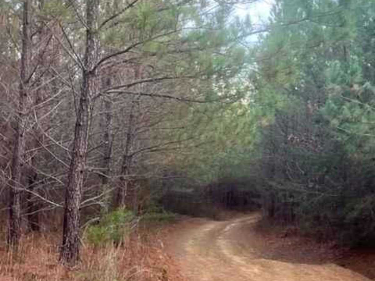
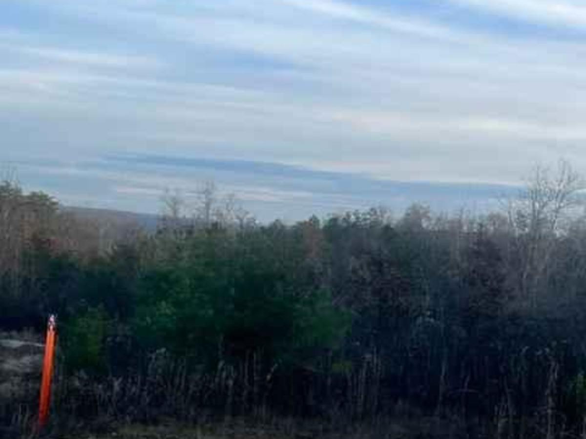
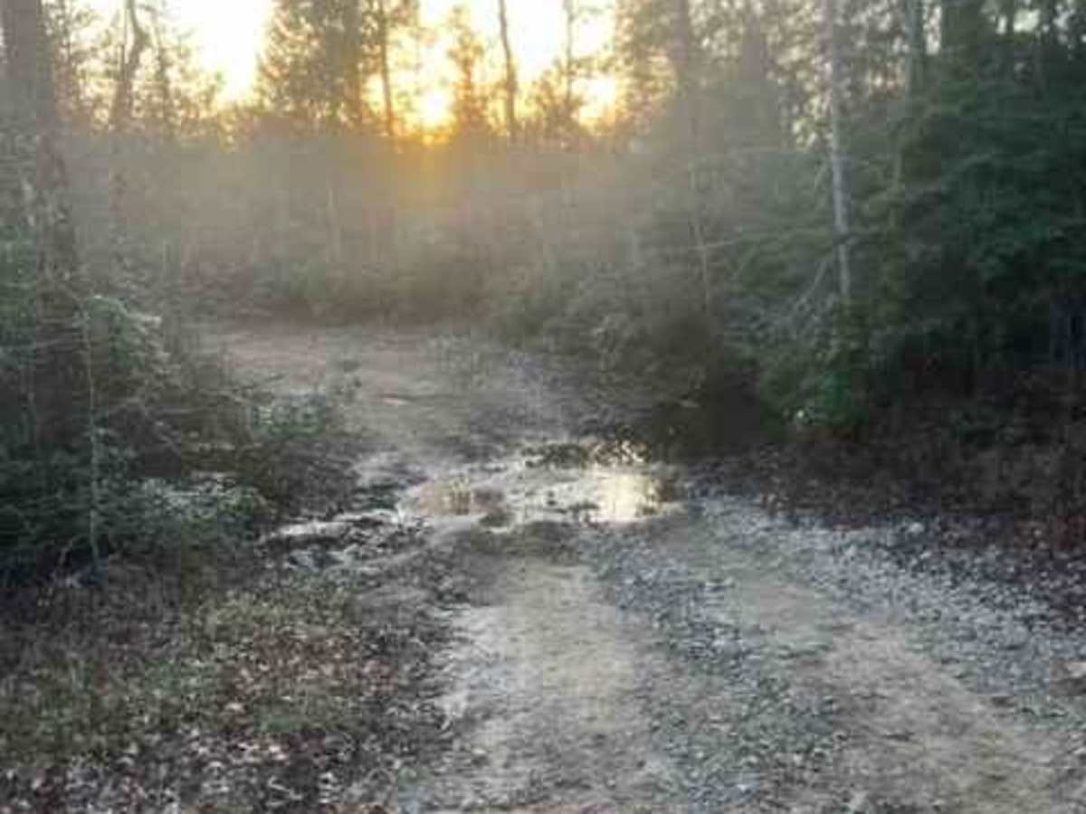
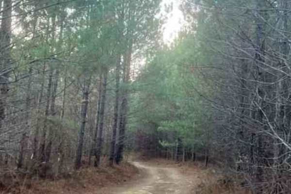
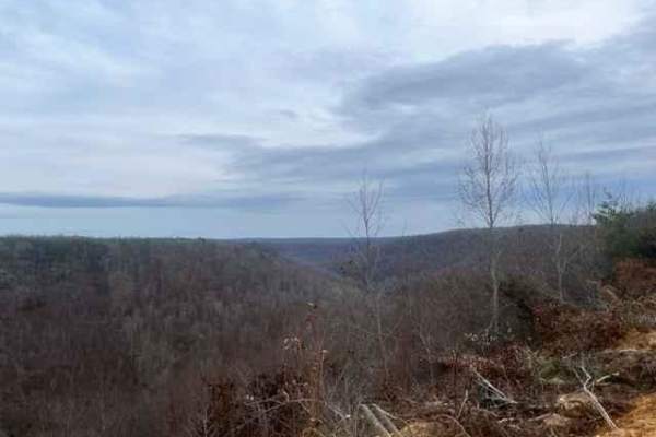
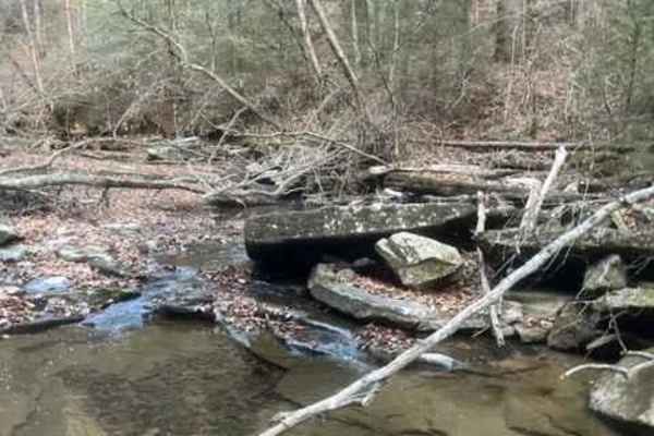
Coalmont OHV Trail 2 Green is a short, beginner-friendly route in the Coalmont OHV Park, offering an easy cruise with scenic features perfect for riders of all skill levels. Measuring approximately 0.43 miles with minimal elevation change of around 43 feet, this trail connects Trail 3 to Trail 2 (Blue) and Trail 11. It features a mostly smooth dirt surface with very few rocks, making it accessible to stock off-road vehicles, ATVs, and UTVs. The route winds through lush woodland, providing a relaxed journey that highlights a small, scenic spring crossing and a beautiful overlook showcasing the surrounding rolling hills.
Navigating this trail is straightforward, with gentle slopes and paths wide enough in places to easily accommodate two passing vehicles. Along the way, several other offshoot trails branch off, providing options to increase the challenge or explore deeper into the park's network. Accessing the route requires a daily, multi-day, or annual permit from the Coalmont OHV Park, which is managed by the City of Coalmont. Riders should be prepared to adhere to park safety regulations, including mandatory helmets for all OHV, ATV, and UTV occupants.
Access Description
Access to Coalmont OHV Trail 2 Green requires a valid riding permit from the Coalmont OHV Park, which can be purchased as a daily, multi-day, or annual pass. The park is managed by the city of Coalmont and has specific safety regulations, including mandatory helmets for OHV, ATV, and UTV riders.