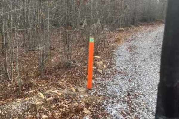
Coalmont OHV Trail 1 (Blue)

Total Miles2.7
Technical Rating
5Moderate
Best TimeSpring, Summer, Fall, Winter
Trail TypeHigh-Clearance 4x4 Trail
Accessible By
Open Trail Map

Trail Overview

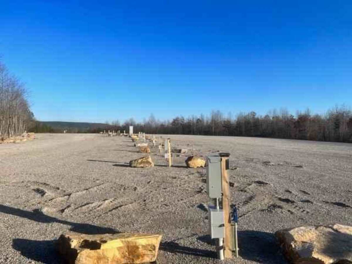
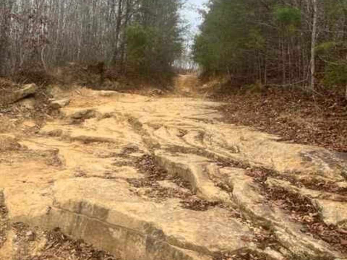
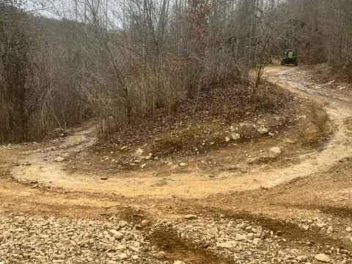
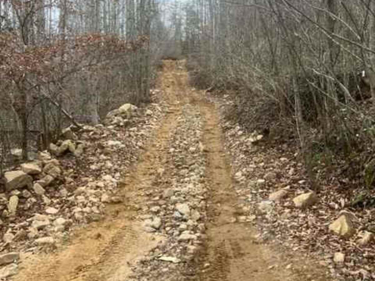
Located in the Heart of Grundy County, see what Coalmont OHV is about! This trail begins at a camping and parking area and passes a beautiful overlook right from the start. The overlook on this trail is the best view at Coalmont OHV. It is easily accessed in almost any vehicle. The trail drops off the mountain from the main overlook and goes to the southeastern end of Coalmont OHV. Along the way, there are 4 creek crossings, but the first creek crossing is usually dry. The train is really rocky and some rocks are as high as 24 inches. This is the longest single Trail at Coalmont OHV. It has different branches coming off the trail along the way.

Photos of Coalmont OHV Trail 1 (Blue)

Difficulty

This trail ranges in difficulty from 1 to 5 along the length of the trail.

Technical Rating

5

Status Reports

Add Status Report
John van Kints
Sep 15, 2024
Open
Never been to Coalmont OHV so I decided to check it out while I was in the area. did the green trail to warm up and then decided to tackle trail 1. Lots of (loose) rocks. Air down. Pick your lines carefully or you might pop the sidewall of your tire, which was my only concern.
Trina Worsham
Oct 21, 2023
Open

Coalmont OHV Trail 1 (Blue) Trail can be accessed by the following ride types:

  • Single Track
  • 50 Inch
  • 60 Inch
  • High Clearance

Access Description

The trail begins directly at the main camping and parking area at the northern end of Coalmont OHV. The initial overlook is easily accessed by nearly any vehicle, while the remainder of the trail descending the mountain requires high clearance, four-wheel drive, and intermediate driving skills. Check local Coalmont OHV park regulations for any required entrance fees, permits, or specific seasonal closures.

Coalmont OHV Trail 1 (Blue) Map

The onX Offroad Difference

onX Offroad combines trail photos, descriptions, difficulty ratings, width restrictions, seasonality, and more in a user-friendly interface. Available on all devices, with offline access and full compatibility with CarPlay and Android Auto. Discover what you're missing today!

Open Trail Map