Pumping Station Access

Total Miles2.5
Technical Rating
1Easy
Best TimeFall, Summer, Spring, Winter
Trail TypeFull-Width Road
Accessible By
Open Trail Map

Trail Overview

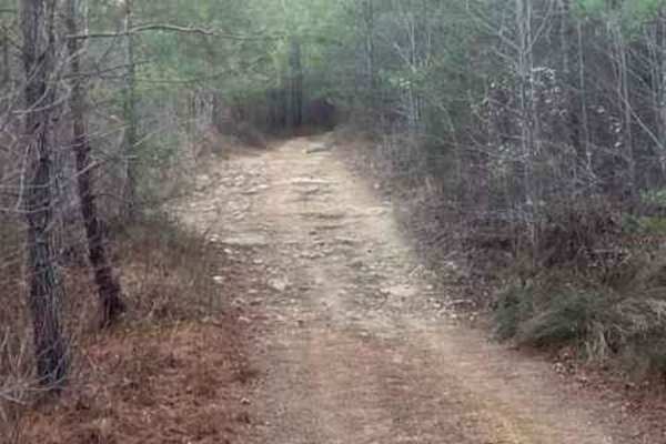
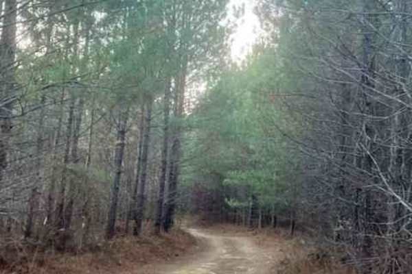
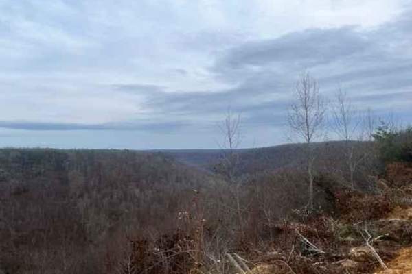
Pumping Station Access serves as an easy, highly convenient connector trail for offroaders looking for a quick cut-through between the Coalmont OHV trail system and Company Farm Road. Spanning approximately 2.5 miles, this point-to-point route features minor elevation changes, dropping from a maximum elevation of 2,045 feet down to around 1,769 feet. The trail's mild terrain earns it a technical rating of 1 out of 10, making it highly accessible for most stock four-wheel drive and two-wheel drive vehicles. Along this unpaved route, drivers will navigate gentle ascents and descents through scenic woodland corridors. While the route is generally straightforward, visitors should prepare to encounter a few shallow water holes that can accumulate mud during wet seasons. The trail acts as a crucial right-of-way path bordering private land holdings, meaning riders must strictly adhere to the designated route to ensure continued public access. For those planning to utilize this connector to run into the town of Coalmont for fuel or supplies, a valid Tennessee off-highway vehicle (OHV) tag is required to legally operate machines on local town roads. This makes the route a practical addition to any full-day riding itinerary in the area, providing direct northern access to Company Farm Road.

Photos of Pumping Station Access

Difficulty

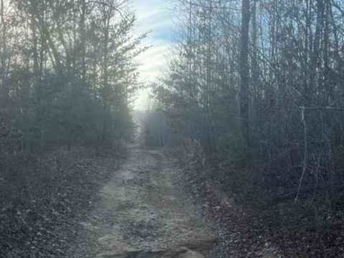
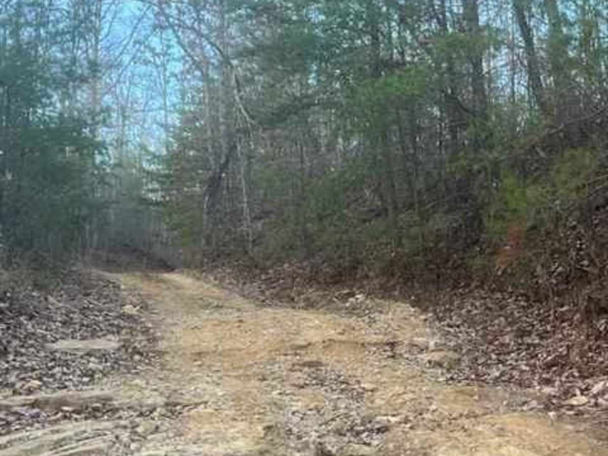
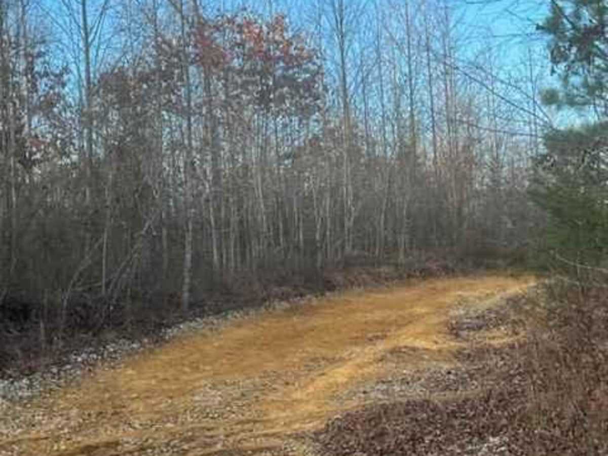
The trail has a couple of ascents and descents and a few water holes. Most 2WD vehicles should be able to travel.

Technical Rating

1

Status Reports

Add Status Report
Landon Ellerd
May 18, 2024
2024 Subaru Outback
Open
Muddy/Wet
Was driving solo in the suby. Drove west to east. Made it about 2/3 of the way and turned around due to a steep obstacle. Would have continued on if we had another vehicle with us, but didn't want to risk anything being solo. Definitely tested out the skid plates on one very rutted descent. Ground clearance with skid plates is prob around 8.5-9in. Very muddy. One puddle was over our rock sliders, probably 10in. Quite narrow, was able to avoid almost all pin striping but a wider vehicle might not be unscathed. Will be back when we have company and are able to make it to the rest of the trails!
Jeff Robinson
Mar 28, 2023
2022 Ford Bronco
Open

Pumping Station Access Trail can be accessed by the following ride types:

  • Single Track
  • 50 Inch
  • 60 Inch
  • High Clearance
  • Full Width

Access Description

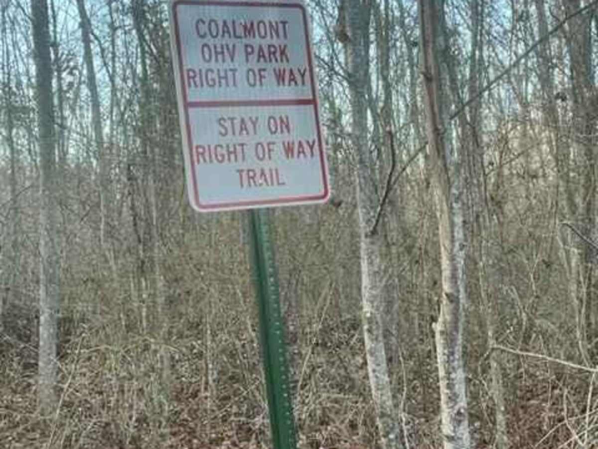
An off-highway vehicle (OHV) tag is required to drive your machine directly into the town of Coalmont. Riders must stay on the designated trail to respect the surrounding private land boundaries.

Pumping Station Access Map

The onX Offroad Difference

onX Offroad combines trail photos, descriptions, difficulty ratings, width restrictions, seasonality, and more in a user-friendly interface. Available on all devices, with offline access and full compatibility with CarPlay and Android Auto. Discover what you're missing today!

Open Trail Map