
Dirt Bike Trails
Near Hagarville, Arkansas
Explore All Dirt Bike Trails Near Hagarville, Arkansas
Dirt Bike Trails Near Hagarville, Arkansas
Discover the best dirt bike trails near you. Browse trail maps, check difficulty ratings, and find your next adventure — whether you're looking for a quick ride or an all-day expedition.
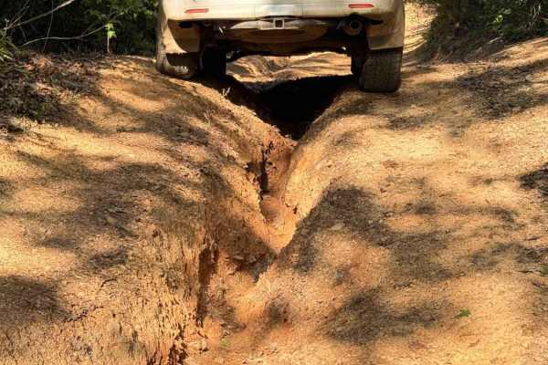
Dripping Springs
Dripping Springs is a narrow, rutted, and rocky climb featuring a mix of loose rock, embedded stone, and short, steep grades. The trail gains approximately 1,000 feet in elevation when traveling south to north, with the majority of that elevation gain occurring on the southern half of the route. It ...
Learn more about Dripping Springs
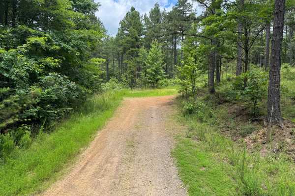
Sulpher Branch
This route begins on Forest Service Road 93713D off Jake's Creek Road before transitioning onto Sulphur Branch Road (FS 1826). After the junction, the trail narrows to a single-vehicle-wide route and becomes progressively more technical, featuring loose rock, off-camber sections, exposed bedrock, er...
Learn more about Sulpher Branch
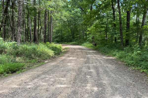
FS 93237
This route begins on a maintained gravel road before narrowing into a single-vehicle-wide forest trail. Shortly after entering the woods, the trail becomes more technical with numerous whoops, erosion-created washouts, embedded rocks, and a sustained rocky climb featuring ledges up to approximately ...
Learn more about FS 93237
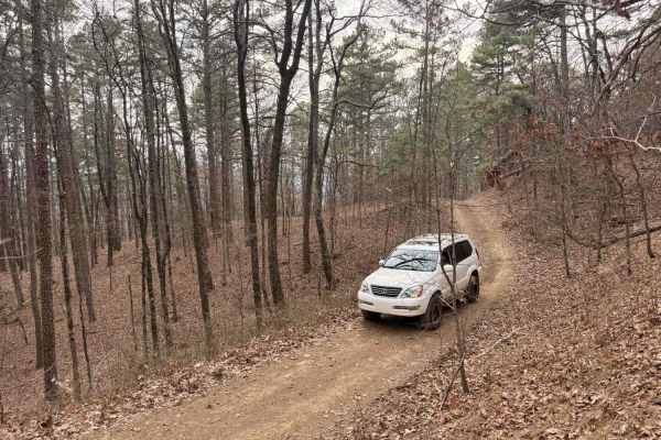
Bull Springs
This trail is a fun hill climb connector from FS 1813 to Pilot Rock Mountain Road if traveled from South to North. Several water bars keep the trail from stepping upward and your vehicle from pitching up and down. You'll encounter rock obstacles less than 6 inches tall. About halfway, logging has pr...
Learn more about Bull Springs
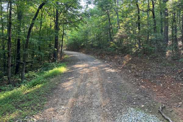
FS 1441
This route is one of the rougher and more technical roads in the surrounding area, featuring long stretches of embedded rock, exposed bedrock, and uneven hill climbs. While it serves as a connector through the forest, it offers a more engaging drive than the neighboring gravel roads. Drivers will en...
Learn more about FS 1441
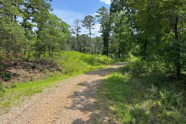
Sawyer
The route is generally well-traveled and suitable for most high-clearance vehicles, though natural erosion has created scattered whoops, shallow puddles, and uneven sections that may become more pronounced after heavy rainfall. A dispersed campsite is located along the route, providing a convenient ...
Learn more about Sawyer
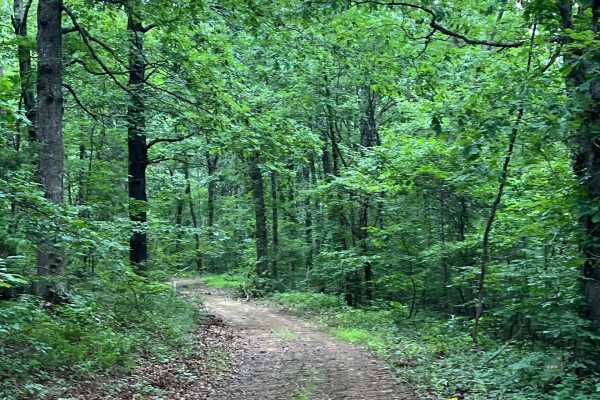
Walker
Use the Forest Service easement off Walker Road to access the trail. The route is heavily overgrown, with tight trees and brush that may cause pinstriping, and a downed tree has a bypass around it. As the trail approaches Murray Creek, it descends through deep ruts and a rock obstacle, with limited ...
Learn more about Walker
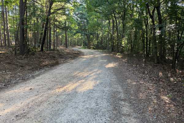
Mckay
Beginning just off Highway 21, this scenic forest road passes the Pleasant Hill Shooting Range before winding through the Ozark National Forest. The route follows a well-established dirt and gravel road with several stream crossings, gradual elevation changes, and sections of exposed rock. Although ...
Learn more about Mckay
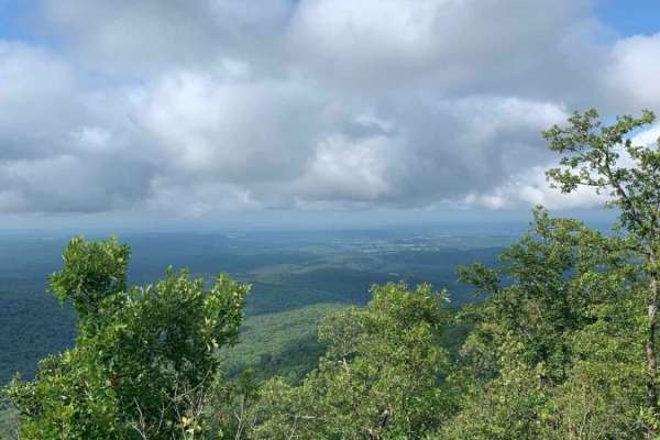
Pilot Knob Mountain
Pilot Knob Mountain is a short, scenic spur trail in the Ozark National Forest ideal for drivers looking to escape the main forest service roads and score a stunning panoramic overlook from the summit. Measuring just under a quarter-mile in length, this quick detour offers a rewarding climb that cul...
Learn more about Pilot Knob Mountain
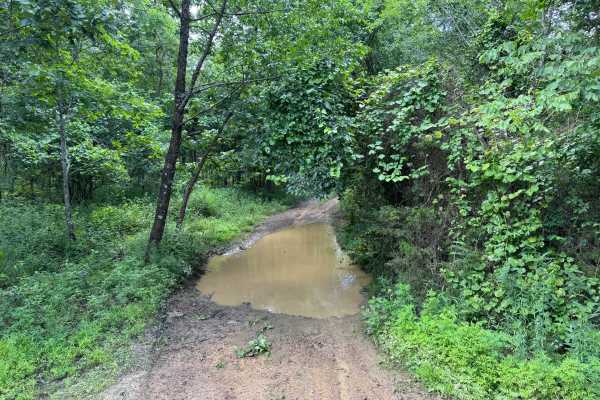
FS 93211A
This route is open to all motorized vehicles and remains a single-vehicle-wide route for its entire length. Dense trees and brush line both sides of the route, making paint scratches and pinstriping likely throughout the drive. Because there are no suitable locations to pass another vehicle, drivers...
Learn more about FS 93211A
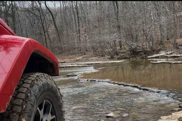
FS 1409
This trail starts with a water crossing at Murray Creek. The creek bottom is all rocks. After crossing, there is a large camp area with a view of Murray Creek's waterfalls. Back on the trail are dirt and rocks with several large, long pools of water to drive through. There are some workarounds if ne...
Learn more about FS 1409
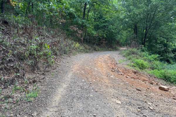
Mikels
This route begins at Woods Mountain Road and winds through a scenic section of the Ozark National Forest before ending at Murray Creek. The first portion follows a well-maintained gravel Forest Service road through dense hardwood forest before gradually becoming narrower and more rugged. As the rout...
Learn more about Mikels
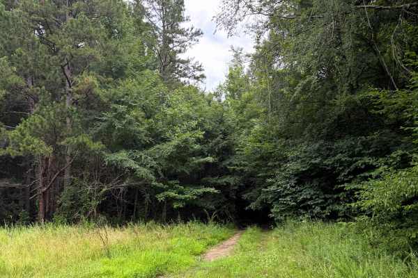
Peters Branch Boulevard
This trail starts off as an easy trail but quickly turns into a fun challenge. After passing the first campsite, running west to east, you are greeted with a uphill rocky area. Then make your way to tight pine trees and navigating through these woods. Coming to the end of the trail you'll see a nice...
Learn more about Peters Branch Boulevard
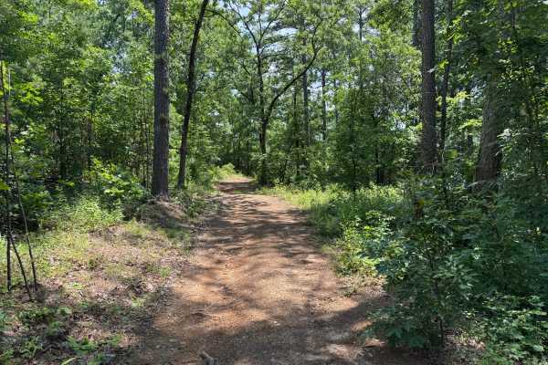
FS 93234E
This route is primarily a single-vehicle-wide dirt road winding through the Pine Wildlife Management Area. Several sections provide enough room to pull over and allow oncoming traffic to pass, while recently logged areas open up the landscape with wider views before the route returns to dense pine f...
Learn more about FS 93234E
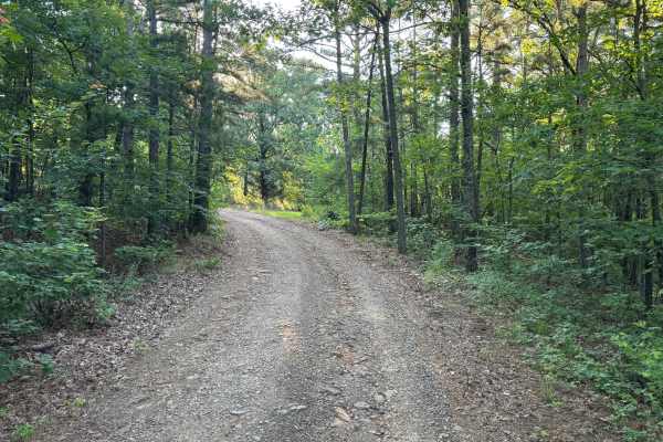
Cazort Tower - FS 1403C
This out-and-back route climbs around Katie Knob Mountain on a generally well-maintained gravel road. The trail is mostly single vehicle width but includes several pull-off areas where oncoming traffic can pass. Drivers will encounter a few minor washouts and rough spots where larger rocks have erod...
Learn more about Cazort Tower - FS 1403C
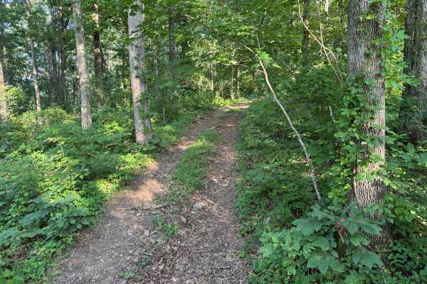
Stove Point
This narrow, one-vehicle-wide trail winds through the mature hardwoods with very few opportunities to pass or turn around. The route features a mix of dirt, scattered rock, exposed roots, and several gradual climbs, including an off-camber obstacle where drivers must climb around a large fallen tree...
Learn more about Stove Point
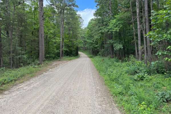
RD 1004
This maintained gravel Forest Service road provides an easy drive through a scenic section of the Ozark National Forest. The route winds through mature hardwood and pine forest with gentle elevation changes and wide curves, making it suitable for nearly any vehicle. While most of the road is wide en...
Learn more about RD 1004
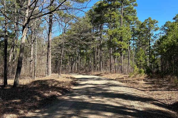
Woods Mountain Road
This starts off as a paved road, but very quickly turns into maintained gravel with room for passing. There are no obstacles. This is a windy, easy drive with several off-shoots. It is scenic, with both mountain and valley views. It's a good option to get from Highway 21 to Highway 123 by driving up...
Learn more about Woods Mountain Road
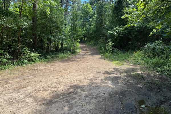
Howard
This route branches off Jake's Creek Road and begins as a wide, well-maintained forest road before narrowing into a single-lane trail beneath a canopy of mature hardwoods and towering pines. The lower section offers several pull-offs where oncoming vehicles can pass, but as the route climbs the moun...
Learn more about Howard
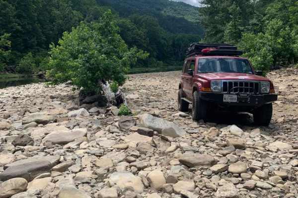
Wainscott Bottoms
Wainscott Bottoms is an exciting 5.9-mile adventure for intermediate four-wheel-drive enthusiasts looking to explore the scenic Big Piney Creek valley within the Ozark National Forest. Beginning as an easy, smooth gravel road, the route soon transitions into a rugged Forest Service two-track that wi...
Learn more about Wainscott Bottoms
ATV trails near Hagarville, Arkansas
Explore ATV-friendly trails near you. These trails are accessible for vehicles up to 50 inches wide, perfect for ATVs and smaller off-road machines.
Dripping Springs
Dripping Springs is a narrow, rutted, and rocky climb featuring a mix of loose rock, embedded stone, and short, steep grades. The trail gains approximately 1,000 feet in elevation when traveling south to north, with the majority of that elevation gain occurring on the southern half of the route. It ...
Learn more about Dripping Springs
Sulpher Branch
This route begins on Forest Service Road 93713D off Jake's Creek Road before transitioning onto Sulphur Branch Road (FS 1826). After the junction, the trail narrows to a single-vehicle-wide route and becomes progressively more technical, featuring loose rock, off-camber sections, exposed bedrock, er...
Learn more about Sulpher Branch
FS 93237
This route begins on a maintained gravel road before narrowing into a single-vehicle-wide forest trail. Shortly after entering the woods, the trail becomes more technical with numerous whoops, erosion-created washouts, embedded rocks, and a sustained rocky climb featuring ledges up to approximately ...
Learn more about FS 93237
Bull Springs
This trail is a fun hill climb connector from FS 1813 to Pilot Rock Mountain Road if traveled from South to North. Several water bars keep the trail from stepping upward and your vehicle from pitching up and down. You'll encounter rock obstacles less than 6 inches tall. About halfway, logging has pr...
Learn more about Bull Springs
UTV/side-by-side trails near Hagarville, Arkansas
Find UTV and side-by-side trails near you. These trails accommodate vehicles up to 60 inches wide, ideal for UTVs, side-by-sides, and wider off-road rigs.
Dripping Springs
Dripping Springs is a narrow, rutted, and rocky climb featuring a mix of loose rock, embedded stone, and short, steep grades. The trail gains approximately 1,000 feet in elevation when traveling south to north, with the majority of that elevation gain occurring on the southern half of the route. It ...
Learn more about Dripping Springs
Sulpher Branch
This route begins on Forest Service Road 93713D off Jake's Creek Road before transitioning onto Sulphur Branch Road (FS 1826). After the junction, the trail narrows to a single-vehicle-wide route and becomes progressively more technical, featuring loose rock, off-camber sections, exposed bedrock, er...
Learn more about Sulpher Branch
FS 93237
This route begins on a maintained gravel road before narrowing into a single-vehicle-wide forest trail. Shortly after entering the woods, the trail becomes more technical with numerous whoops, erosion-created washouts, embedded rocks, and a sustained rocky climb featuring ledges up to approximately ...
Learn more about FS 93237
Bull Springs
This trail is a fun hill climb connector from FS 1813 to Pilot Rock Mountain Road if traveled from South to North. Several water bars keep the trail from stepping upward and your vehicle from pitching up and down. You'll encounter rock obstacles less than 6 inches tall. About halfway, logging has pr...
Learn more about Bull Springs
The onX Offroad Difference
onX Offroad combines trail photos, descriptions, difficulty ratings, width restrictions, seasonality, and more in a user-friendly interface. Available on all devices, with offline access and full compatibility with CarPlay and Android Auto. Discover what you're missing today!
Open Trail Map