Trail Overview
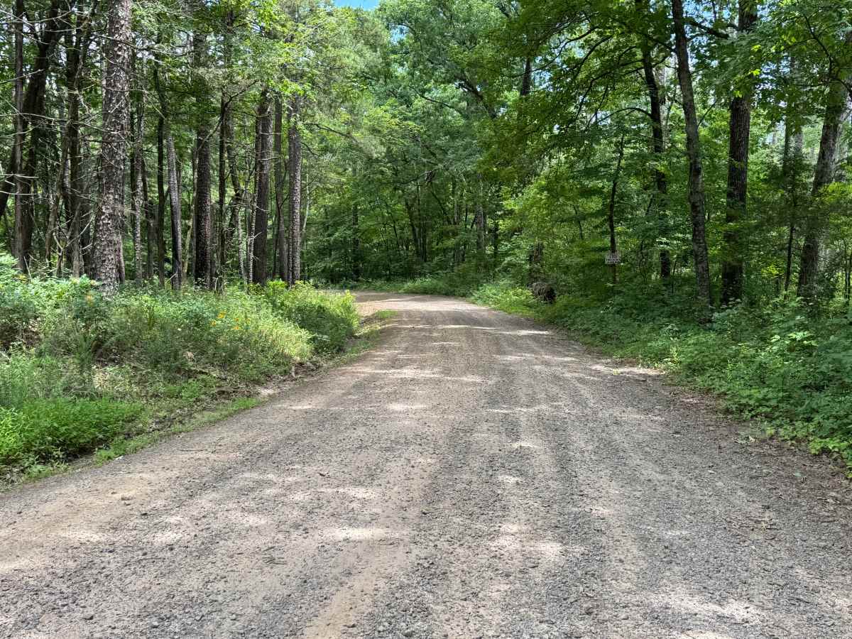
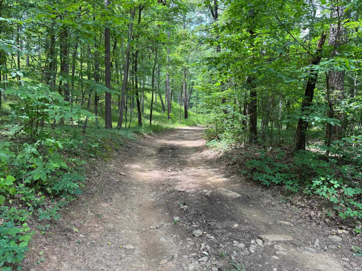
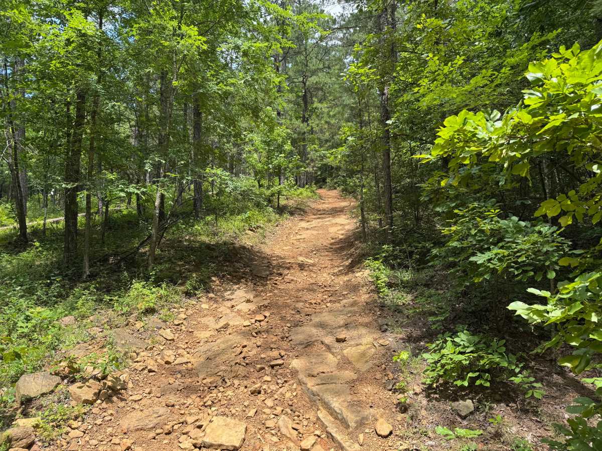
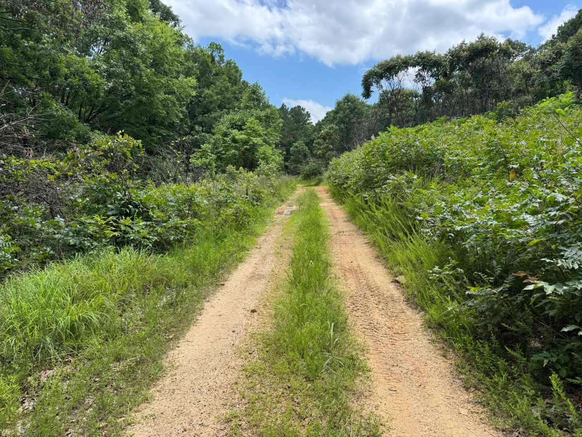
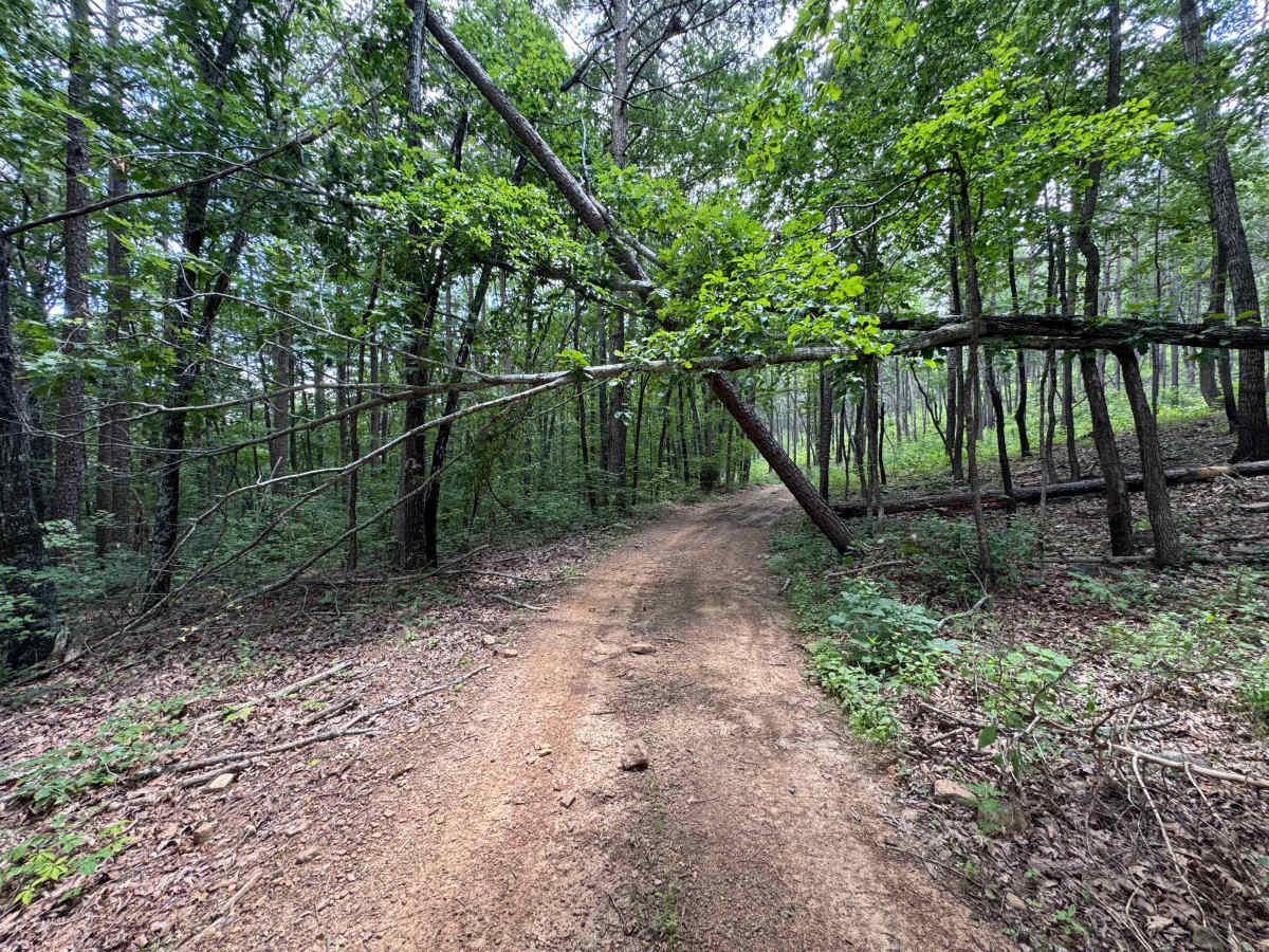
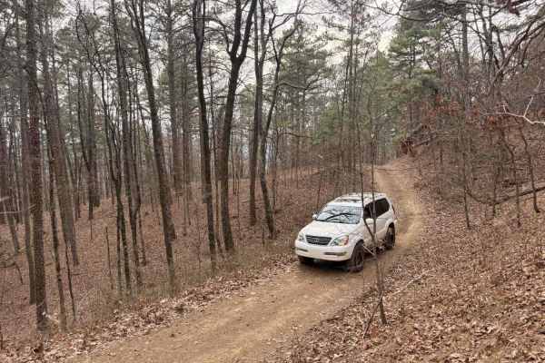
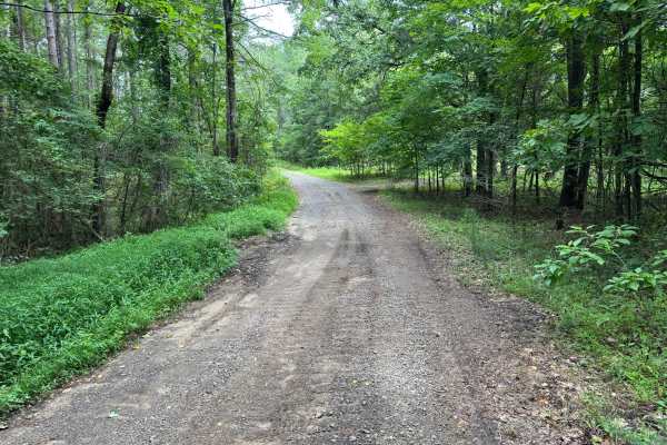
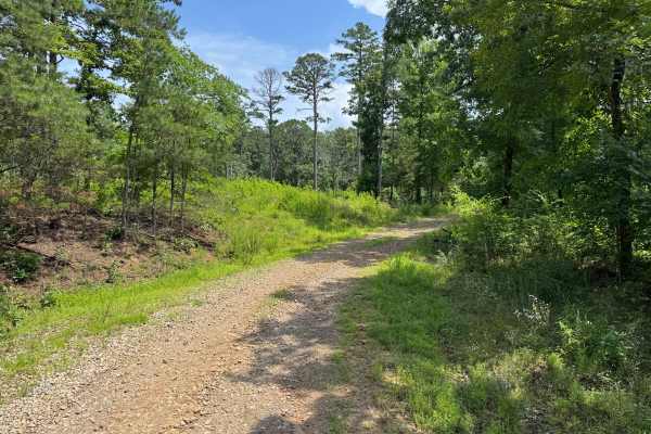
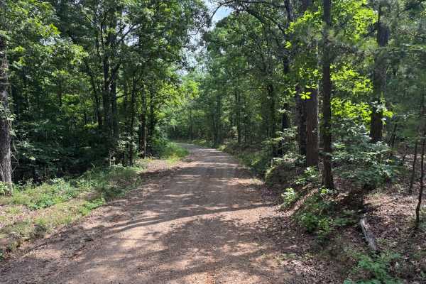
This route begins on a maintained gravel road before narrowing into a single-vehicle-wide forest trail. Shortly after entering the woods, the trail becomes more technical with numerous whoops, erosion-created washouts, embedded rocks, and a sustained rocky climb featuring ledges up to approximately 12 inches in height. The route follows rolling terrain with several climbs and descents that require careful tire placement through the rockier sections. Dense vegetation lines much of the trail, and overgrown brush and tree limbs are likely to leave scratches or pinstriping along the sides of vehicles. One section of the trail can be traveled either uphill or downhill, with uphill travel becoming considerably more difficult when the trail is wet due to reduced traction on the clay soil and exposed rock. Drivers should also be aware of several low-hanging trees that reduce overhead clearance along portions of the route.
Difficulty
Numerous embedded rocks, erosion-created washouts, whoops, uneven terrain, and rocky ledges approaching 12 inches in height require consistent tire placement throughout the route. The narrow trail limits opportunities to avoid obstacles while overgrown vegetation increases the likelihood of pinstriping. Wet conditions can significantly increase the challenge as the clay soil and exposed rock become slick, reducing available traction on the sustained climb.
History
The Ozark National Forest was established in 1908 and today forms part of the Ozark-St. Francis National Forests, protecting more than one million acres across northern Arkansas. Many of the Forest Service roads traveled today began as logging, fire access, or resource management roads before becoming part of the modern recreation network. Forest management continues to play an important role in maintaining healthy ecosystems through timber management, prescribed fire, wildlife habitat restoration, and watershed protection. The rugged Boston Mountains and surrounding Ozark Highlands remain one of the oldest and most geologically significant mountain regions in North America, offering visitors a unique combination of natural beauty and rich forest history.