Trail Overview
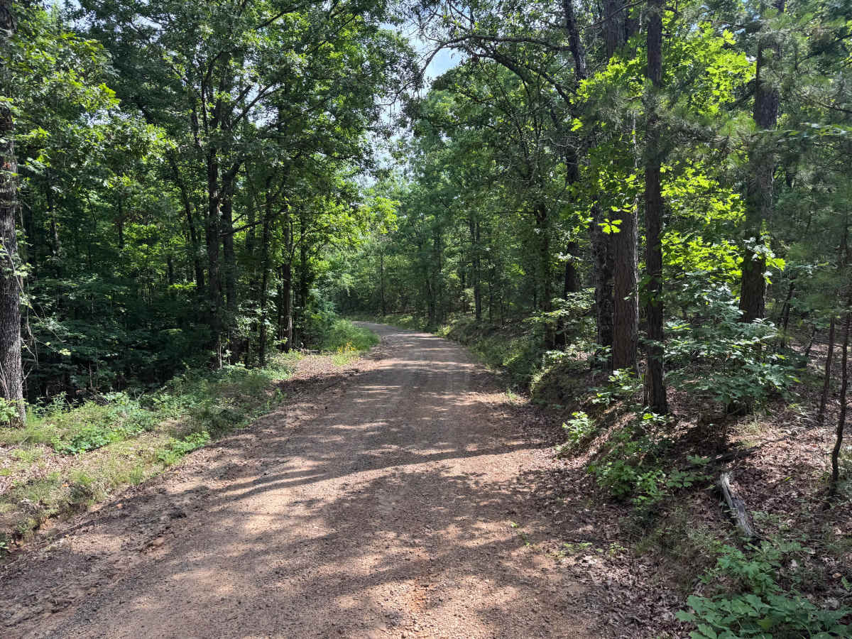
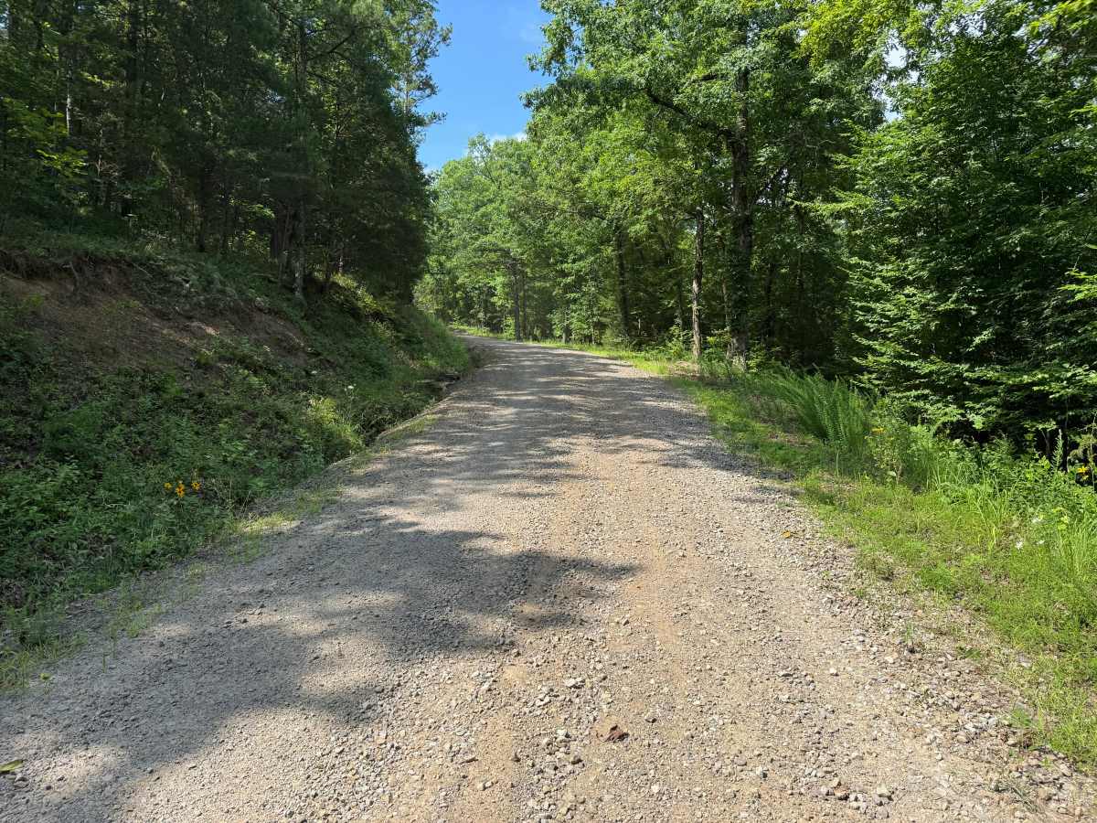
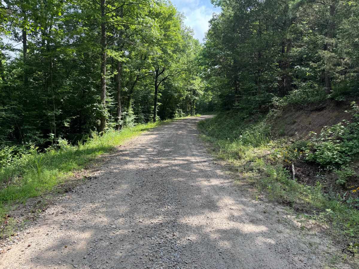
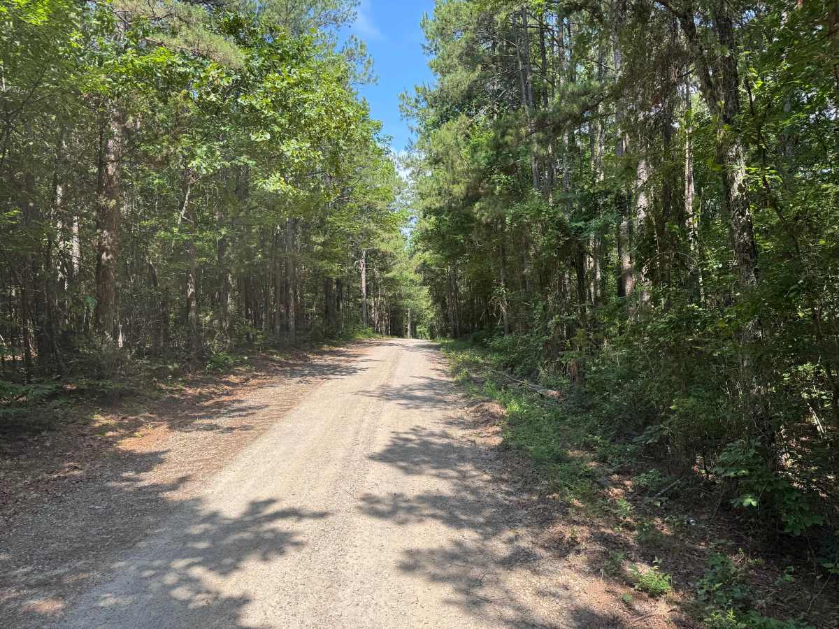
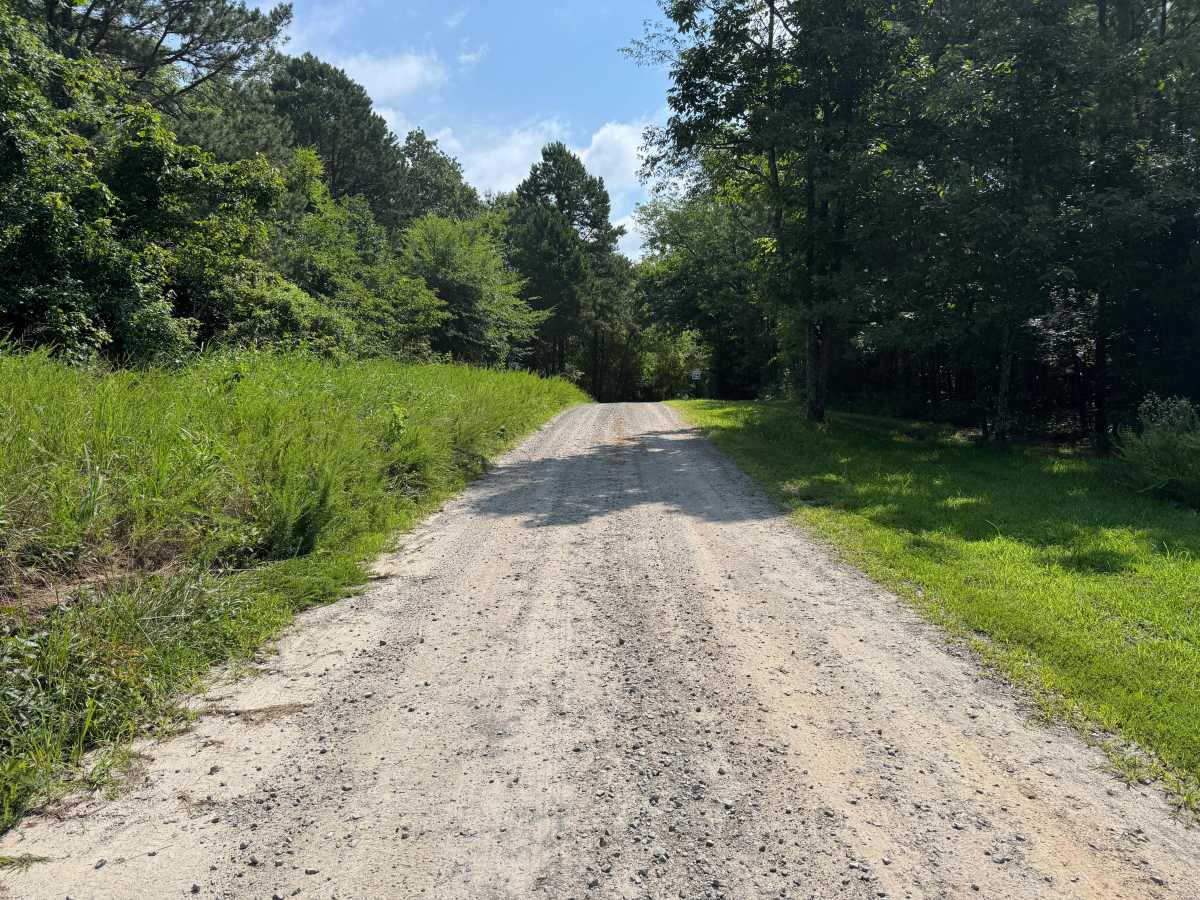
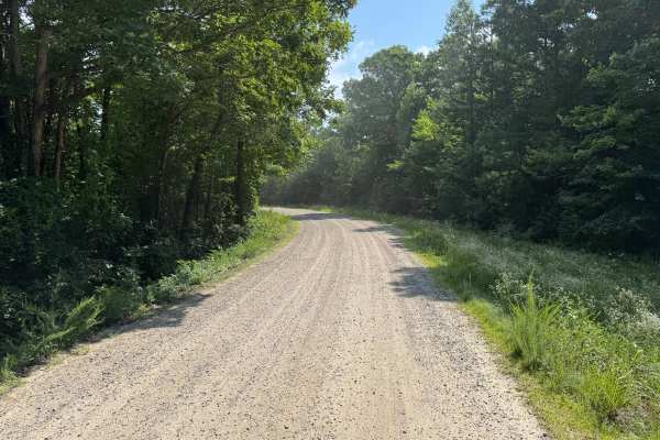
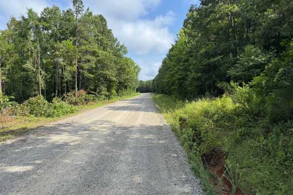
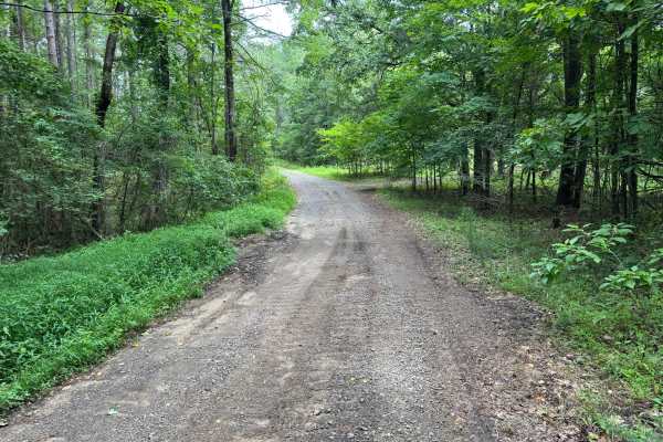
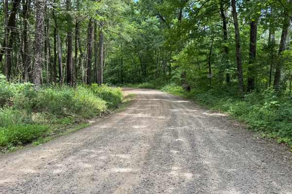
This maintained county gravel route travels through the rural countryside, connecting open fields, wooded sections, and scattered private properties. A gentle grade near one end adds a small change in elevation, while the remainder of the route consists of easy curves and straight stretches through a quiet agricultural landscape. Although much of the route is single-vehicle-width, there are periodic wider areas for passing. Please remain on the designated roadway and respect the private properties along the route.
Difficulty
This route follows a well-maintained county gravel road with a firm surface and no technical obstacles. The only factors affecting travel are the narrow sections where opposing traffic may require yielding, the gentle grade near one end, and the possibility of minor storm debris after severe weather.
History
The Ozark National Forest was established in 1908 and today forms part of the Ozark-St. Francis National Forests, protecting more than one million acres across northern Arkansas. Many of the Forest Service roads traveled today began as logging, fire access, or resource management roads before becoming part of the modern recreation network. Forest management continues to play an important role in maintaining healthy ecosystems through timber management, prescribed fire, wildlife habitat restoration, and watershed protection. The rugged Boston Mountains and surrounding Ozark Highlands remain one of the oldest and most geologically significant mountain regions in North America, offering visitors a unique combination of natural beauty and rich forest history.