Trail Overview
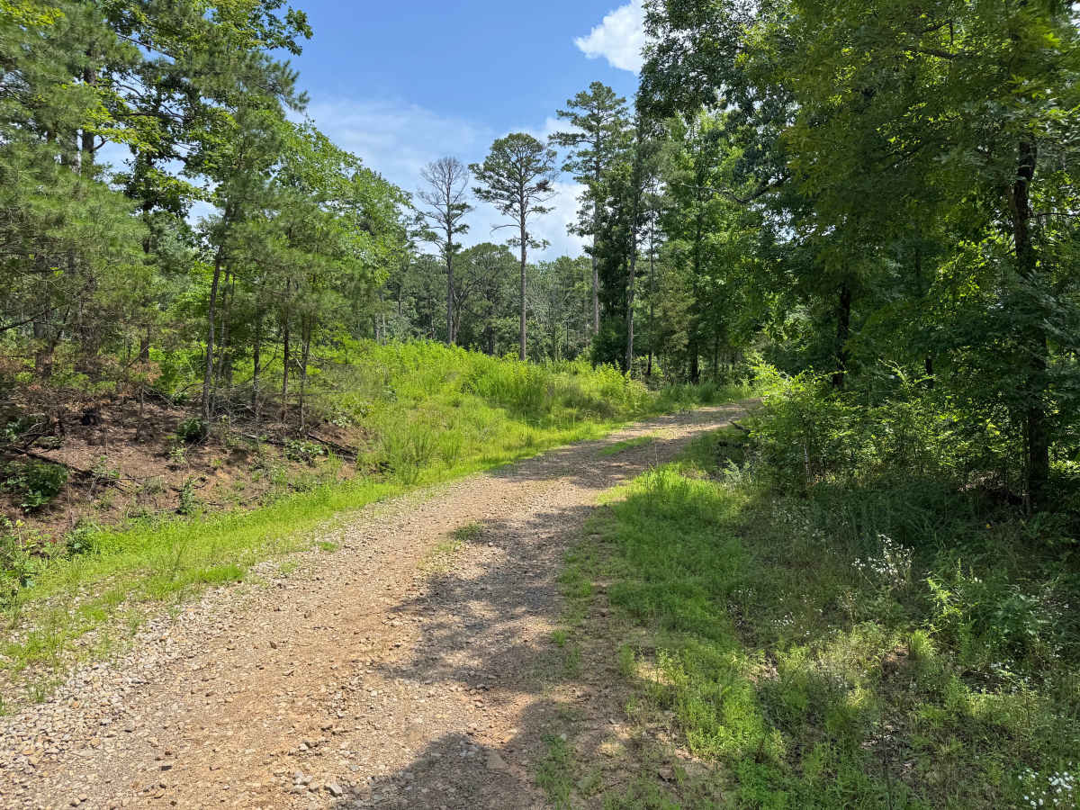
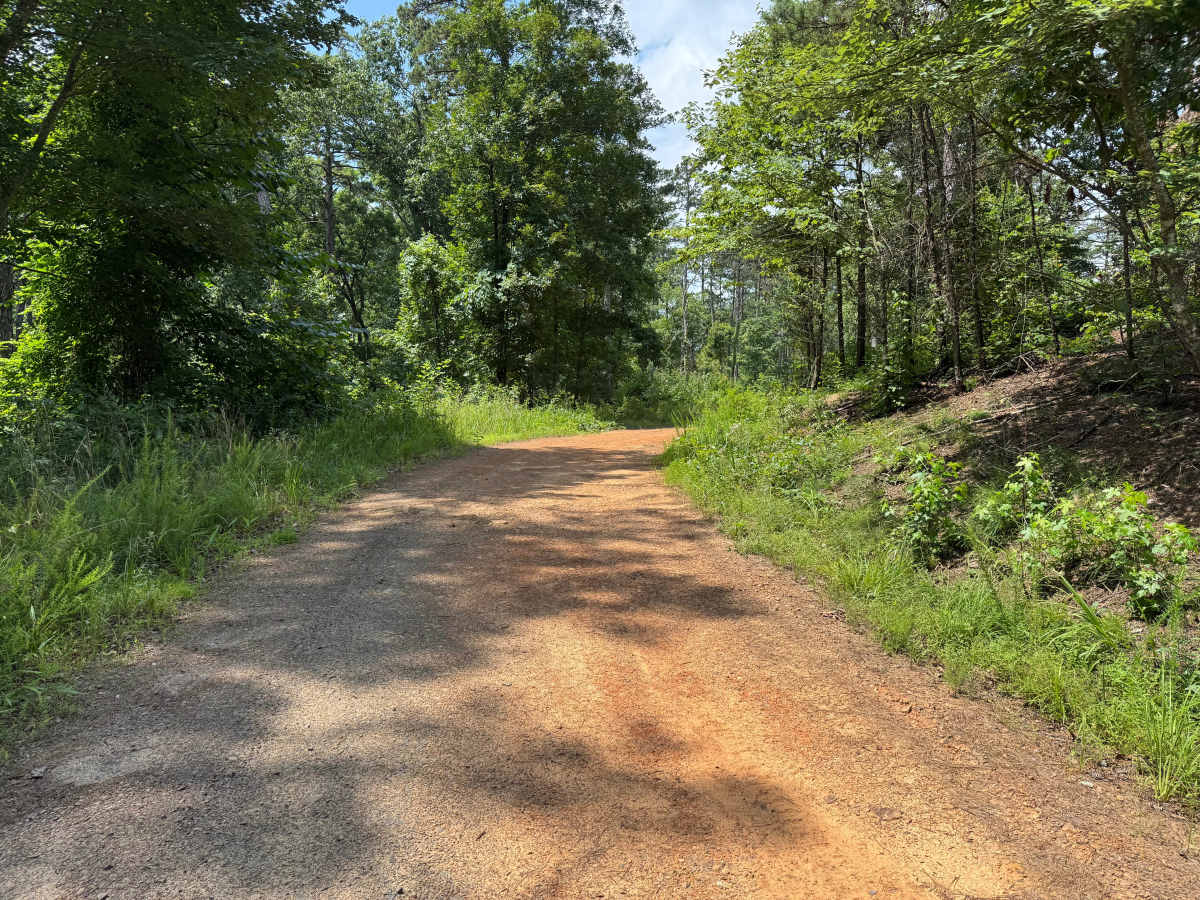
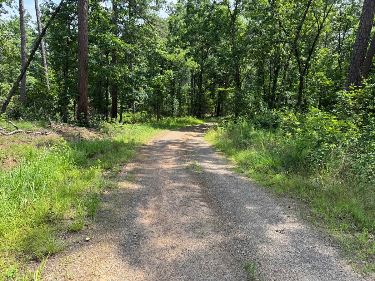
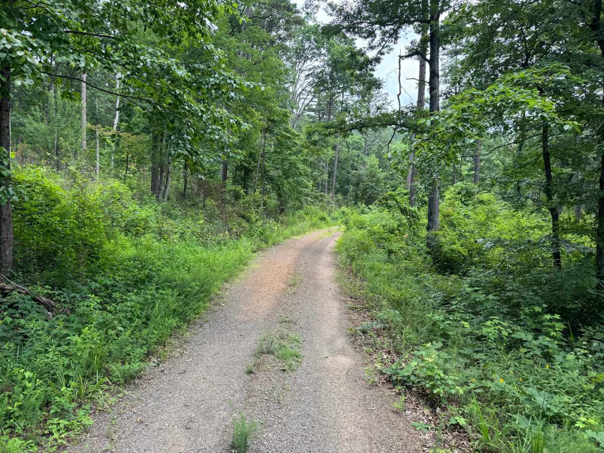
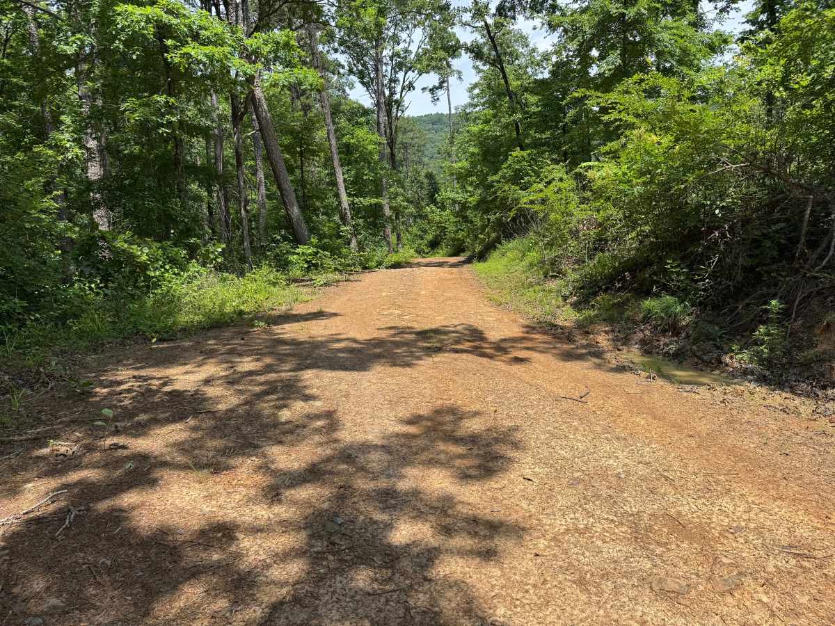
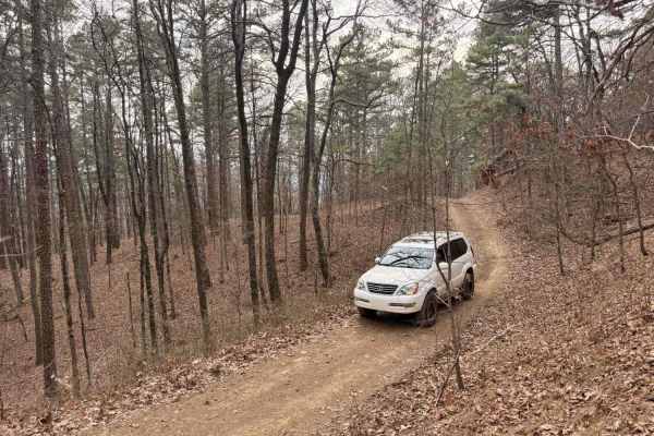
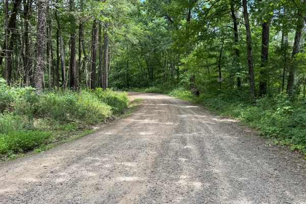
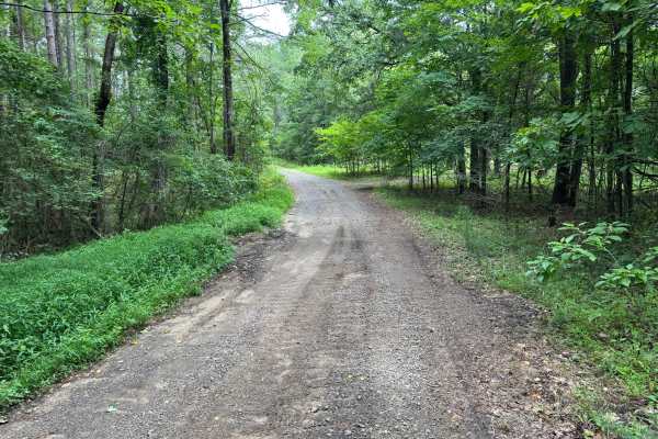
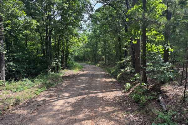
The route is generally well-traveled and suitable for most high-clearance vehicles, though natural erosion has created scattered whoops, shallow puddles, and uneven sections that may become more pronounced after heavy rainfall. A dispersed campsite is located along the route, providing a convenient place to stop for the night or enjoy the surrounding forest. The route is primarily one vehicle wide, but there are several areas where drivers can pull over to allow oncoming traffic to pass. Aside from the naturally uneven surface, there are no significant obstacles, making this a relaxed drive for those looking to explore the area or access the campsite.
Difficulty
While the route does not require specialized equipment or advanced driving techniques, maintaining awareness of changing surface conditions and yielding to oncoming traffic on the single-lane sections will help ensure a safe and enjoyable drive.
History
The Ozark National Forest was established in 1908 and today forms part of the Ozark-St. Francis National Forests, protecting more than one million acres across northern Arkansas. Many of the Forest Service roads traveled today began as logging, fire access, or resource management roads before becoming part of the modern recreation network. Forest management continues to play an important role in maintaining healthy ecosystems through timber management, prescribed fire, wildlife habitat restoration, and watershed protection. The rugged Boston Mountains and surrounding Ozark Highlands remain one of the oldest and most geologically significant mountain regions in North America, offering visitors a unique combination of natural beauty and rich forest history.