Trail Overview
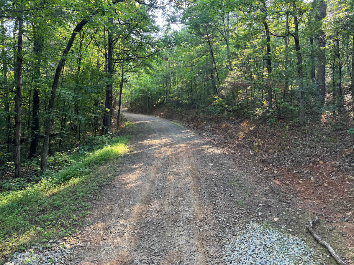
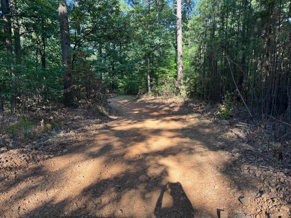
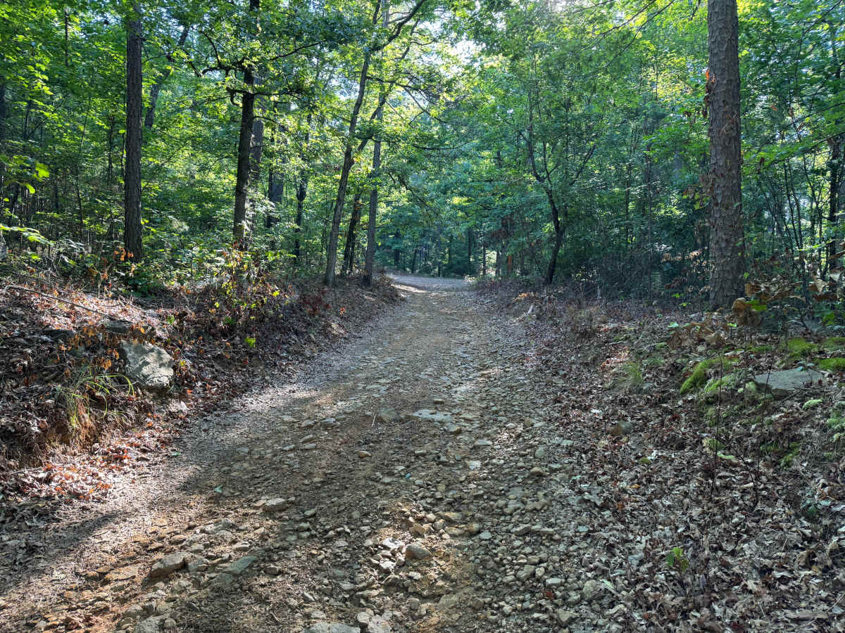
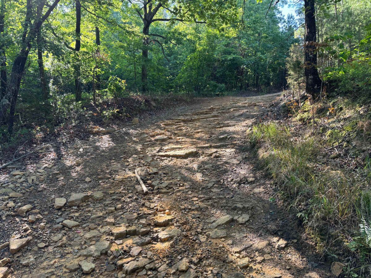
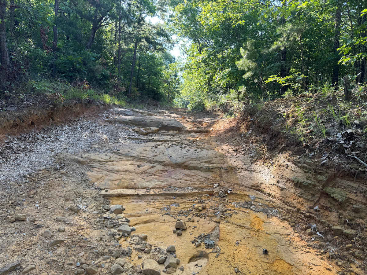
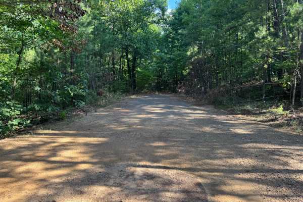
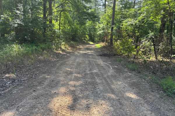
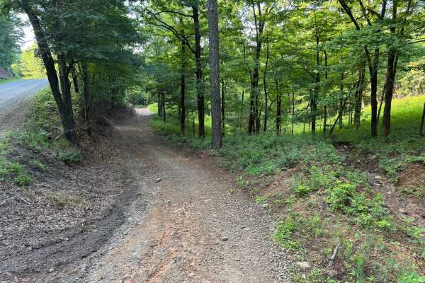
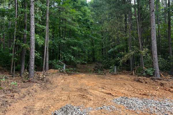
This route is one of the rougher and more technical roads in the surrounding area, featuring long stretches of embedded rock, exposed bedrock, and uneven hill climbs. While it serves as a connector through the forest, it offers a more engaging drive than the neighboring gravel roads. Drivers will encounter several rocky ascents and descents where careful tire placement is beneficial, but the route remains straightforward to follow with no major navigation challenges. Dense hardwood and pine forest provide shade throughout much of the drive, creating a scenic backcountry experience.
Difficulty
Although there are no extreme obstacles, the rock ledges, uneven terrain, and sustained rocky hill climbs require more driver attention than the surrounding Forest Service roads. High-clearance 4x4s are recommended, and low range is beneficial for climbing the steeper rocky sections. Dry conditions present a manageable challenge for stock high-clearance 4x4s, while rain significantly increases the difficulty due to reduced traction on the exposed rock.
History
The Ouachita National Forest was established in 1907 and is recognized as the oldest national forest in the southern United States. Many roads found throughout the forest today originated as logging, timber management, fire access, or resource extraction routes before becoming part of the modern Forest Service road network. Forest management remains an important part of the landscape, and travelers may encounter evidence of prescribed burns, timber thinning, and habitat restoration efforts. The Ouachita Mountains themselves are among the oldest mountain ranges in North America and are notable for their unique east-west orientation.