Trail Overview
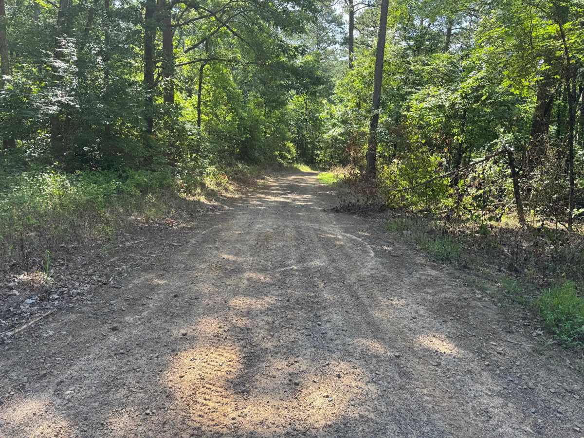
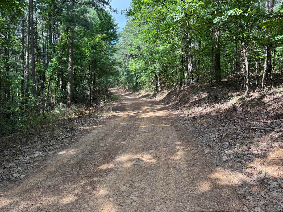
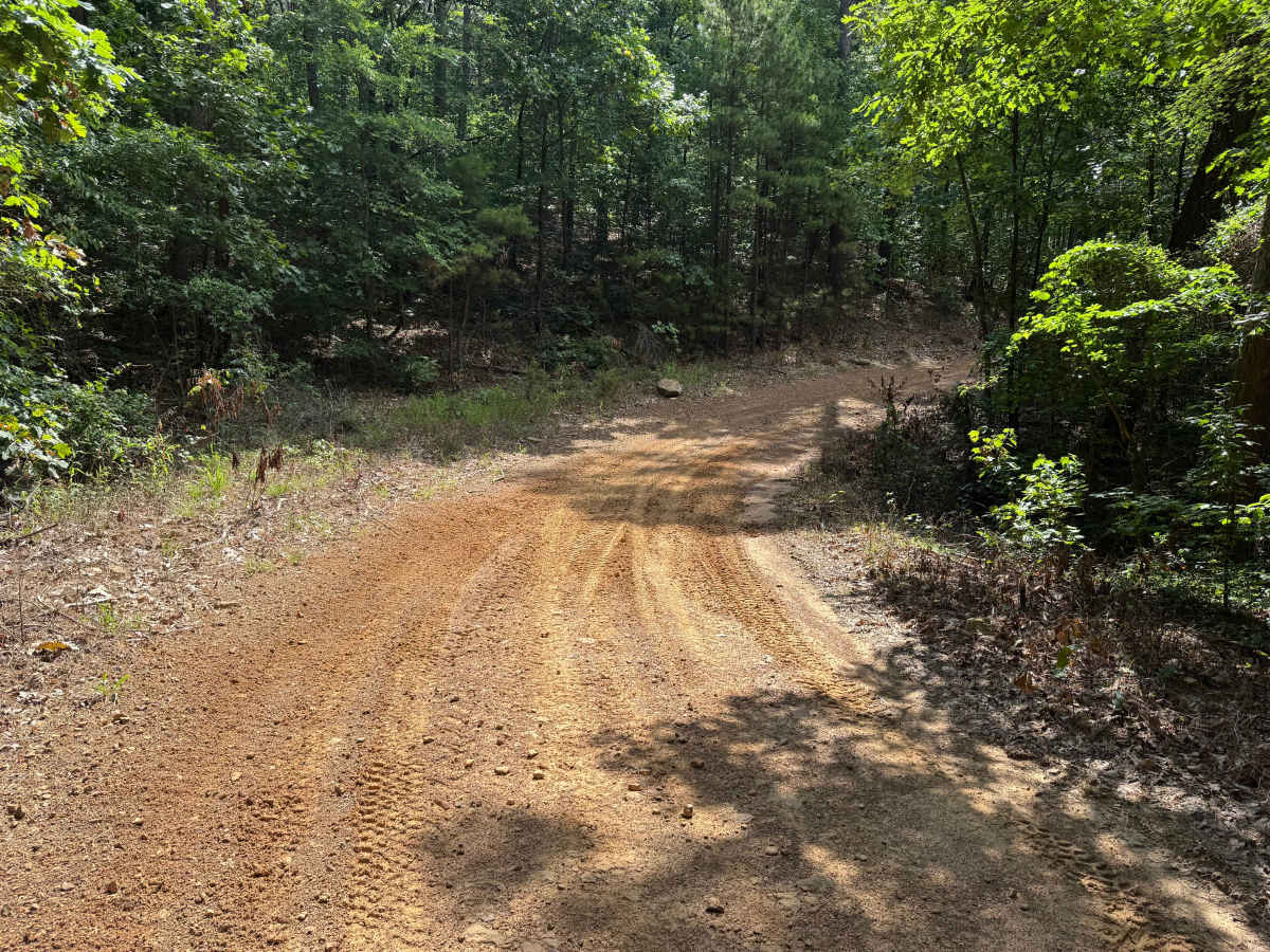
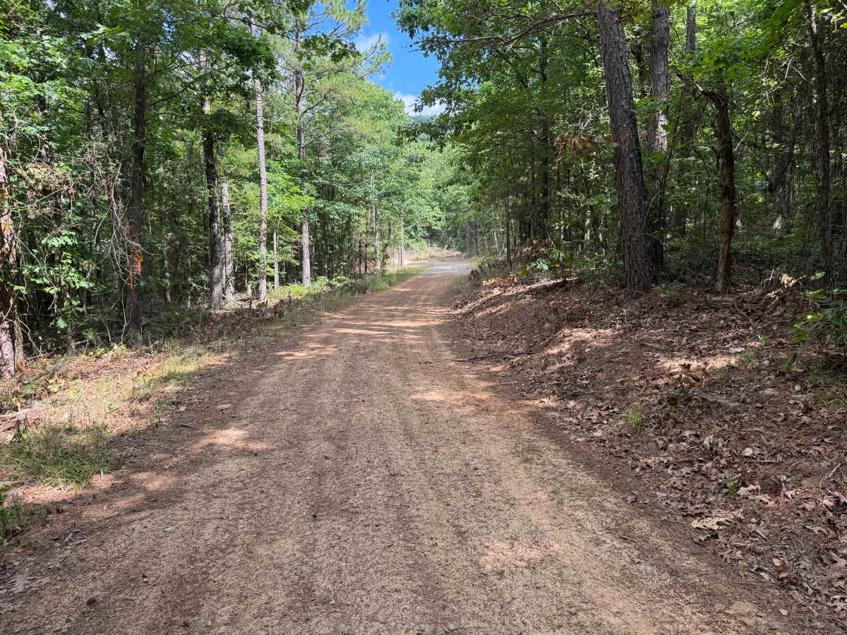
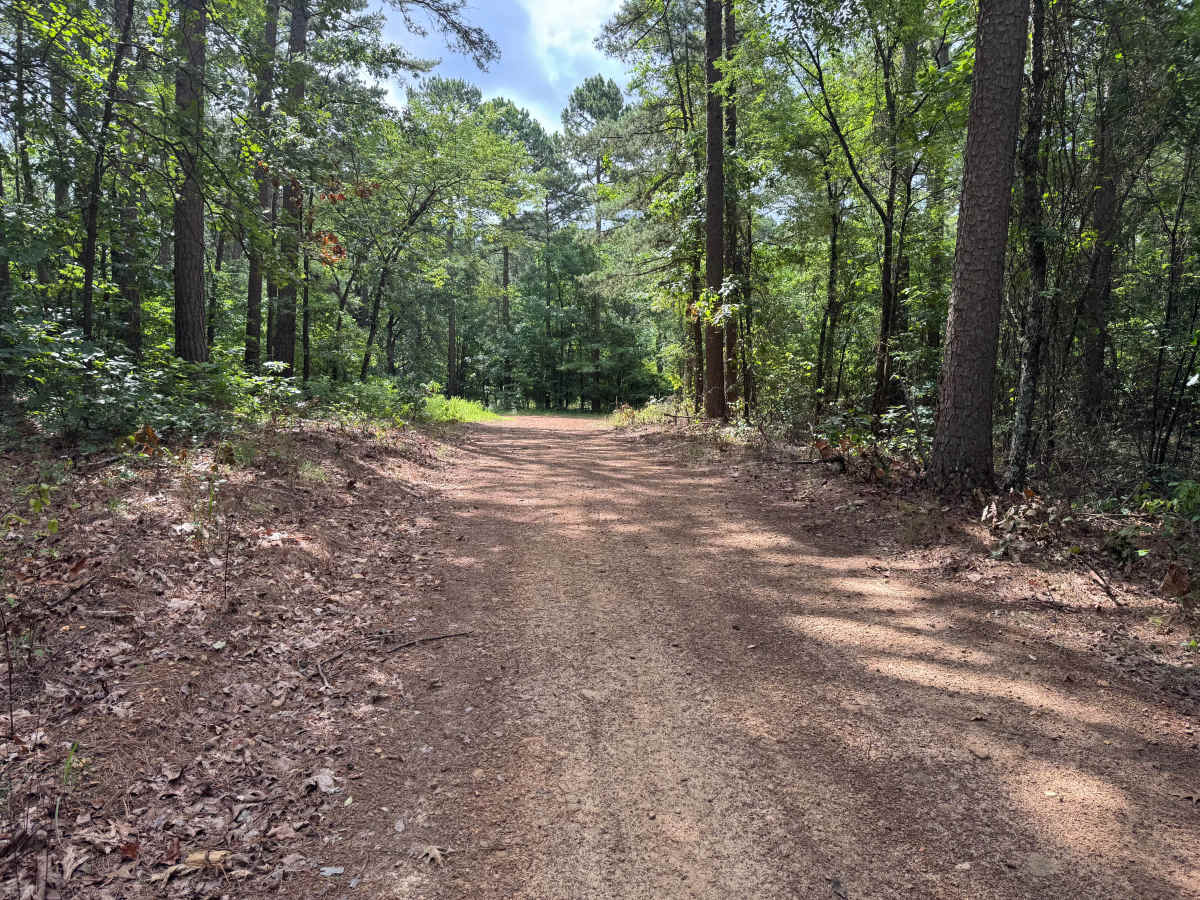
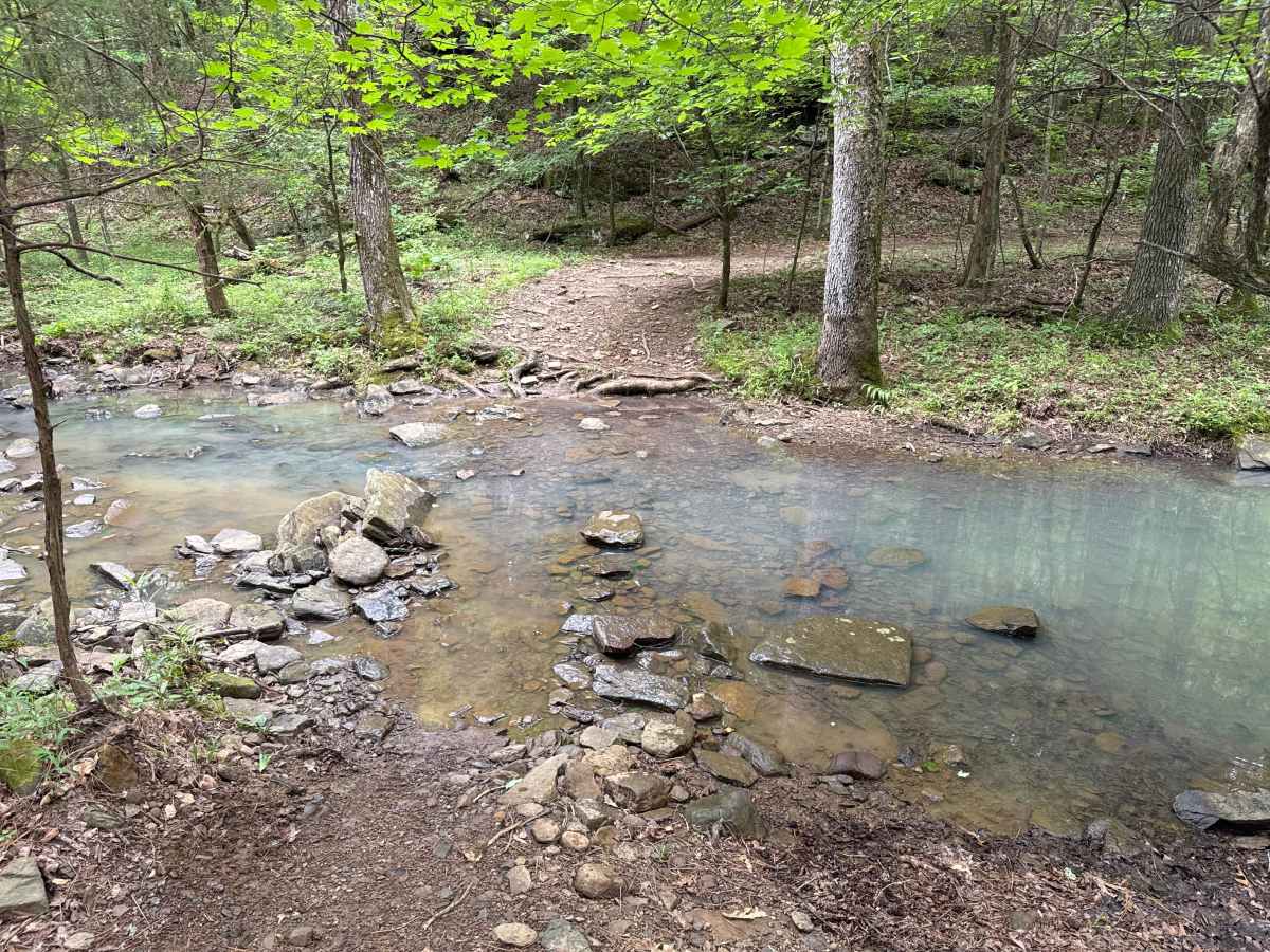
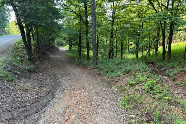
This route is open to highway-legal vehicles and begins at the intersection of 3 other routes. The first mile follows a wide, well-maintained gravel forest road that provides ample room for two vehicles to pass. Beyond this point, the route narrows to a single-lane forest road as it winds through mature hardwoods, pines, and scattered moss-covered rock formations. The route ultimately reaches a shallow creek crossing where two large downed trees currently block further travel, making this the turnaround point before returning the way you came.
Difficulty
This route is suitable for most street-legal high-clearance vehicles. The primary considerations are the transition to a single-lane road, the creek crossing, and the potential for changing conditions after storms. Water depth at the creek should always be evaluated before crossing, and drivers should remain alert for additional fallen trees or debris that may obstruct the route.
History
The Ozark National Forest was established in 1908 and today forms part of the Ozark-St. Francis National Forests, protecting more than one million acres across northern Arkansas. Many of the Forest Service roads traveled today began as logging, fire access, or resource management roads before becoming part of the modern recreation network. Forest management continues to play an important role in maintaining healthy ecosystems through timber management, prescribed fire, wildlife habitat restoration, and watershed protection. The rugged Boston Mountains and surrounding Ozark Highlands remain one of the oldest and most geologically significant mountain regions in North America, offering visitors a unique combination of natural beauty and rich forest history.

 Offroad