Trail Overview
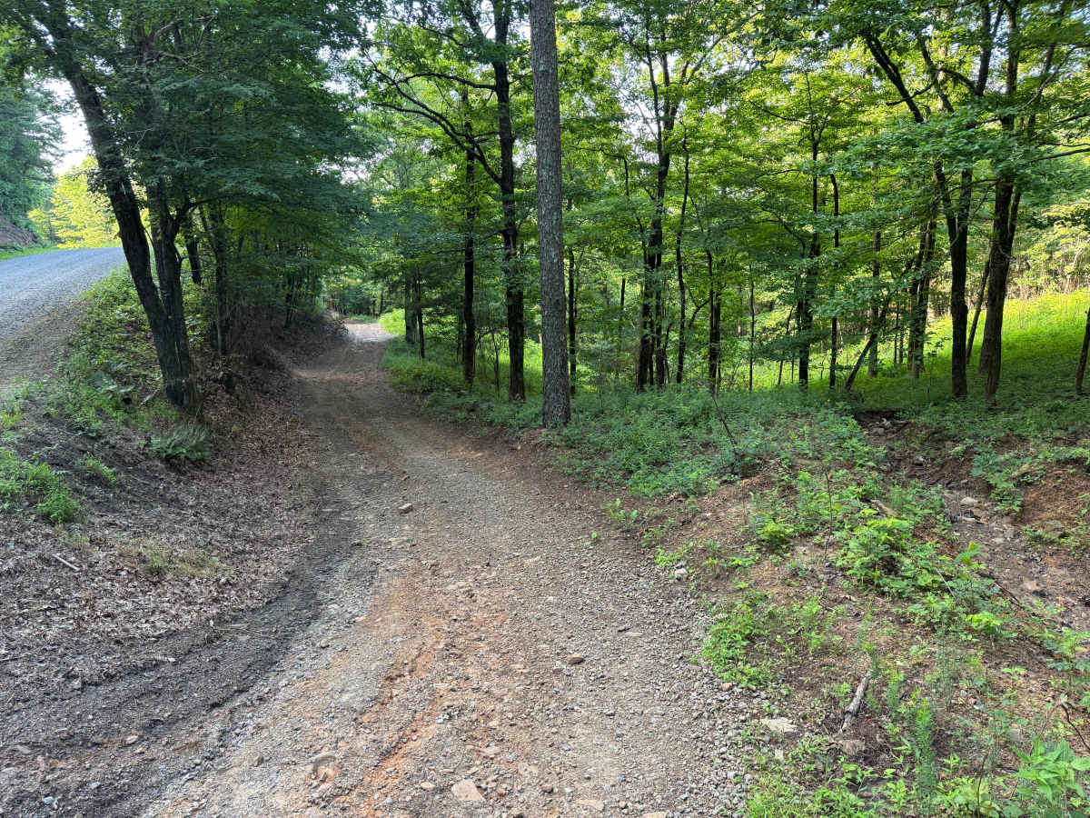
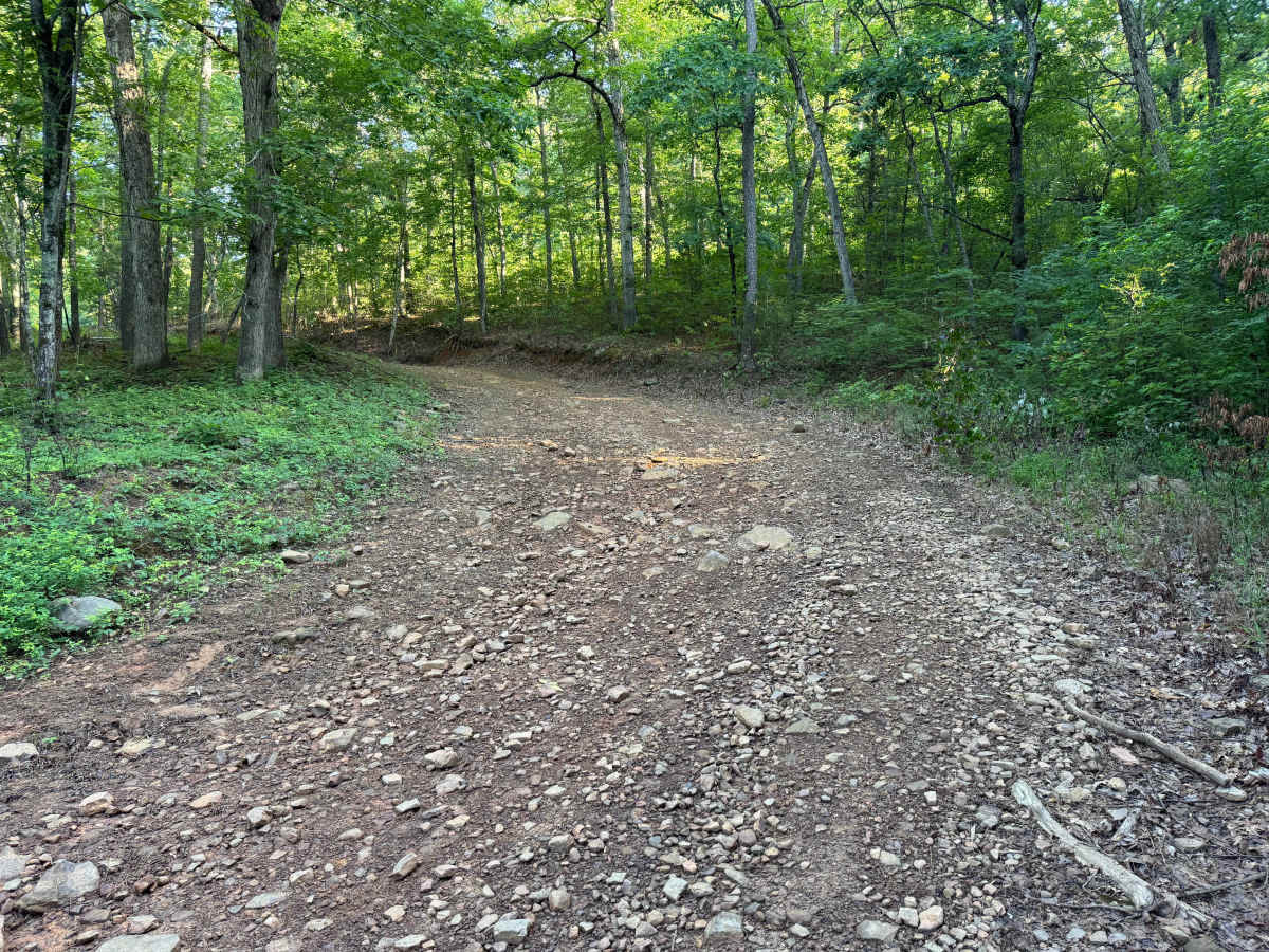
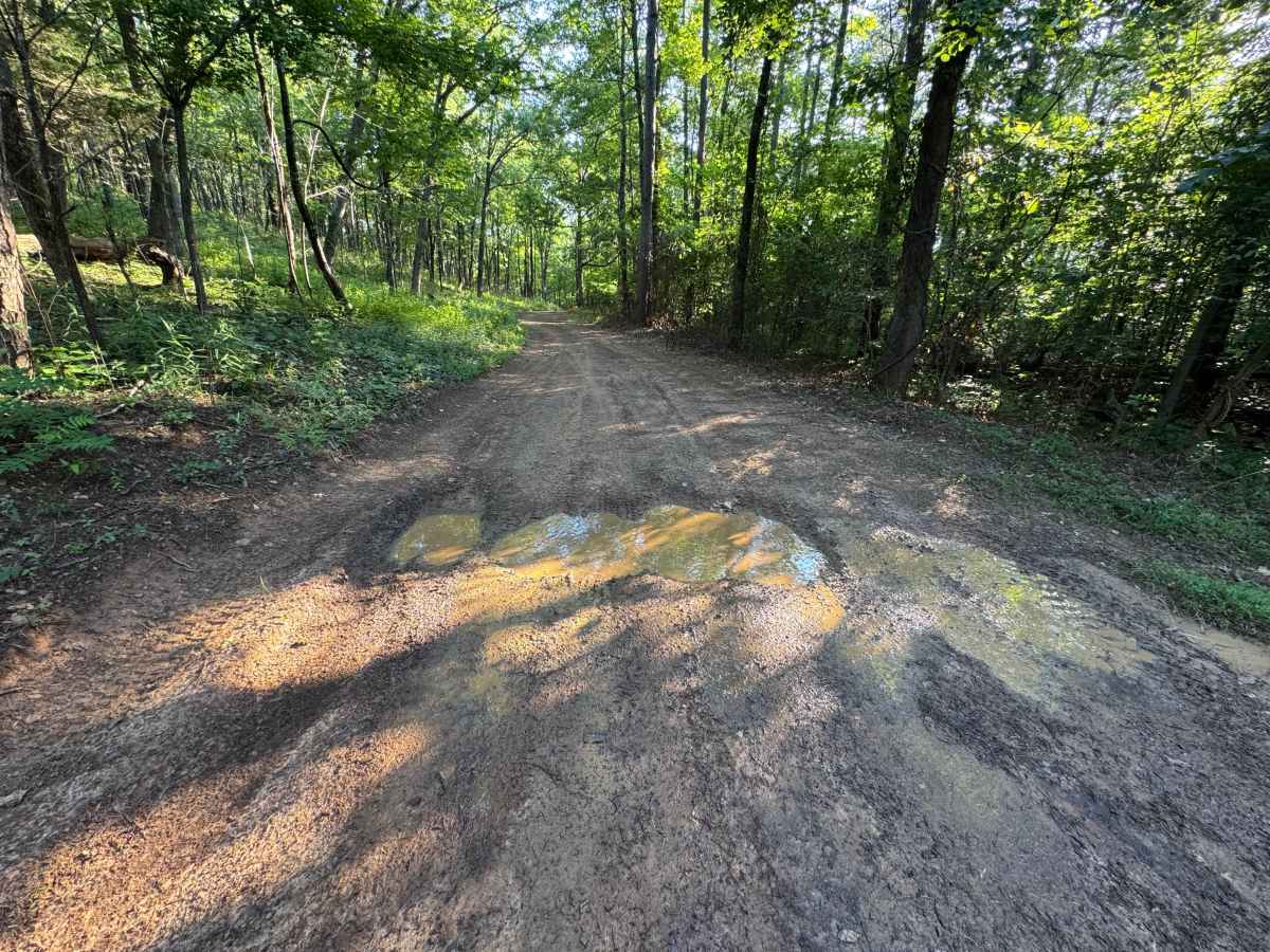
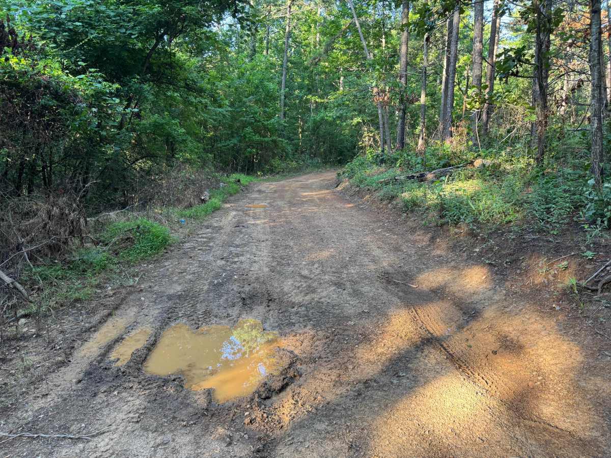
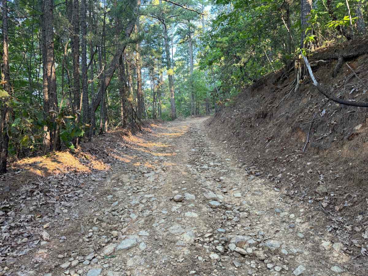
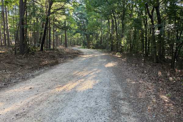
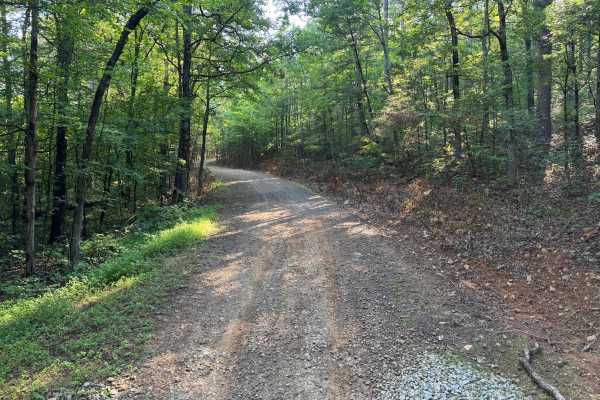
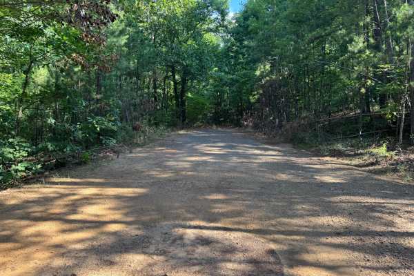
This connecting route is open only to street-legal vehicles and primarily serves as a link between other forest roads. The trail follows a sustained climb or descent, depending on your direction of travel, with a generally wide road surface and good visibility. While there are no major obstacles, erosion has exposed rocks and created uneven sections that require drivers to choose their line carefully. The route is suitable for most high-clearance 4x4s in dry conditions but becomes more challenging after rain.
Difficulty
The route has no technical obstacles but earns its rating from the uneven, rocky climbs, erosion damage, and occasional mud. Careful tire placement is recommended to avoid larger embedded rocks and washouts, particularly for lower-clearance vehicles.
History
The Ouachita National Forest was established in 1907 and is recognized as the oldest national forest in the southern United States. Many roads found throughout the forest today originated as logging, timber management, fire access, or resource extraction routes before becoming part of the modern Forest Service road network. Forest management remains an important part of the landscape, and travelers may encounter evidence of prescribed burns, timber thinning, and habitat restoration efforts. The Ouachita Mountains themselves are among the oldest mountain ranges in North America and are notable for their unique east-west orientation.

 Offroad