Trail Overview
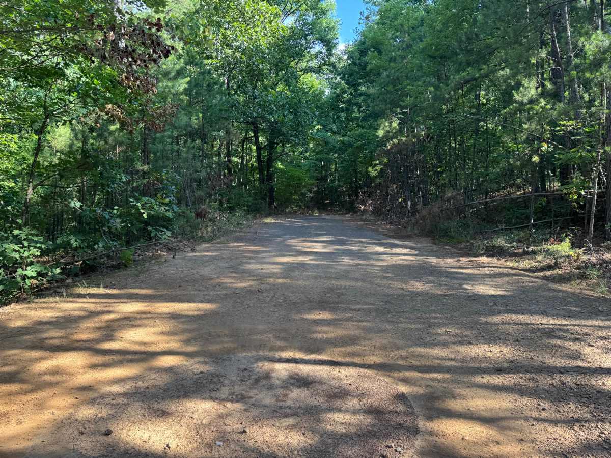
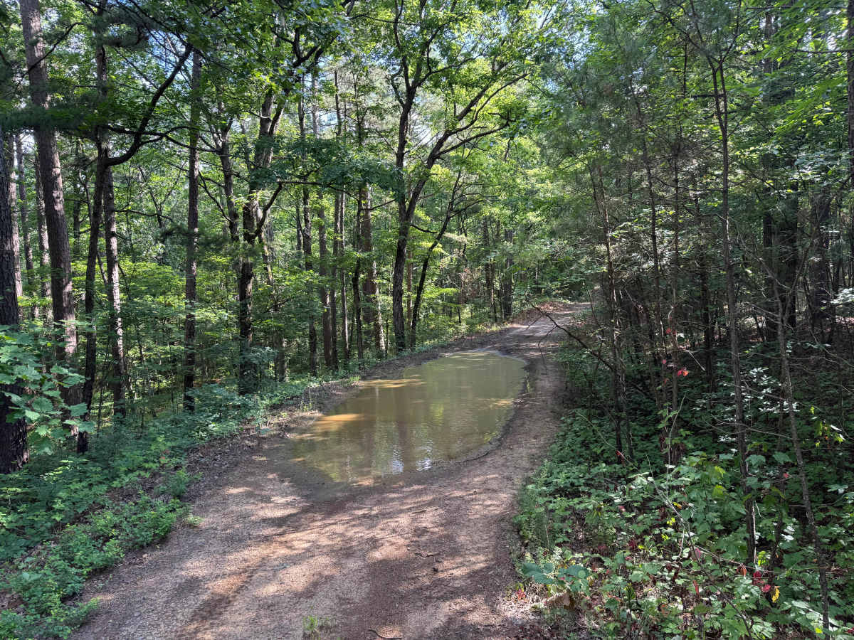
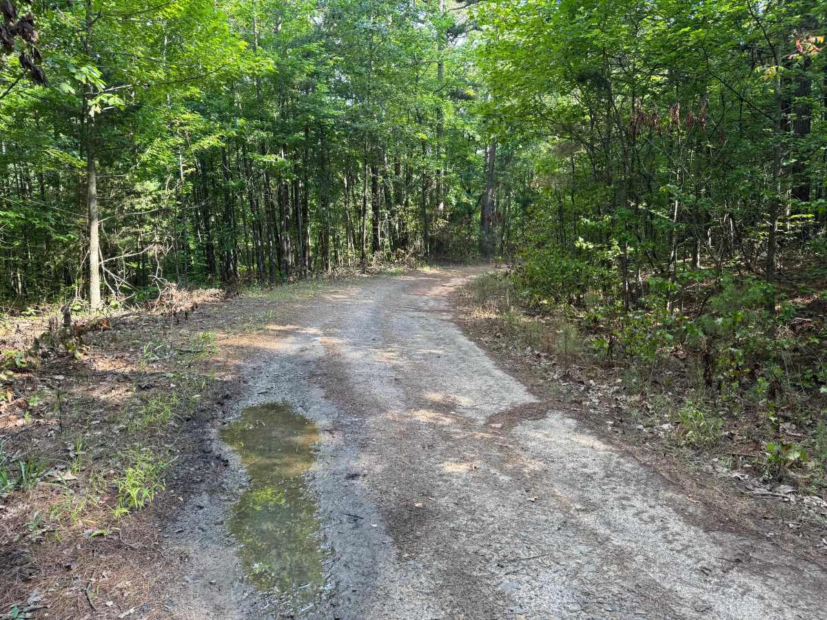
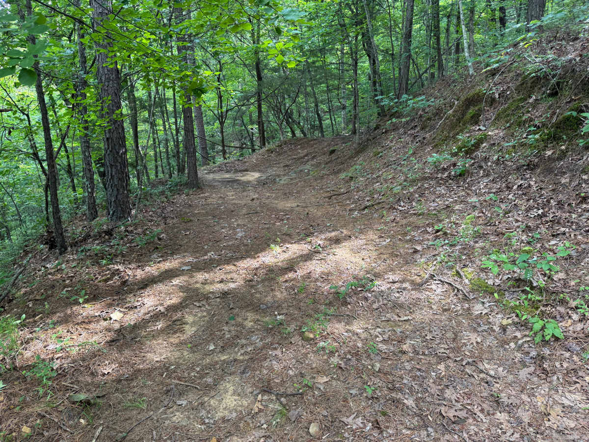
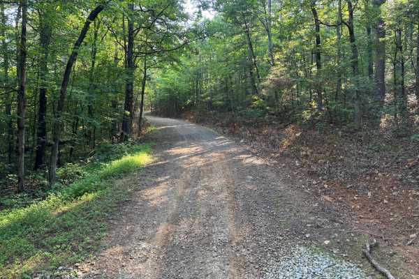
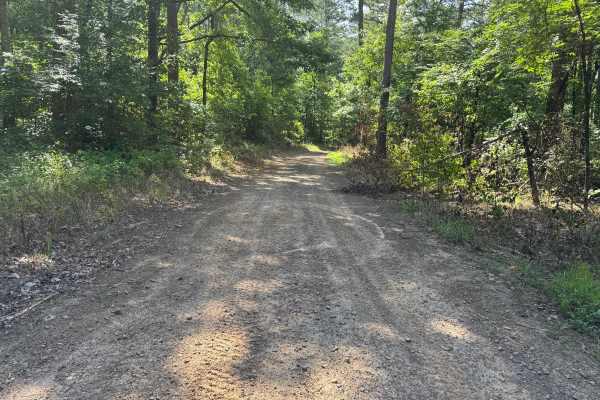
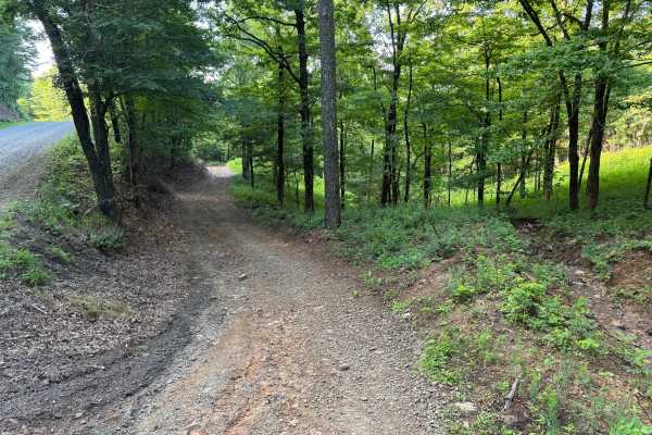
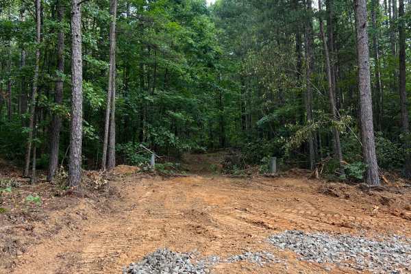
This out-and-back route narrows to a single vehicle width for nearly its entire length, offering a quiet drive through dense hardwood and pine forest. The trail gradually transitions from a maintained forest road into a much tighter corridor where overgrowth and limited turnaround opportunities become the primary challenges. Drivers should be comfortable backing up if another vehicle is encountered, as passing opportunities are extremely limited. The route ends at a dead end, requiring all vehicles to turn around and return the way they came.
Difficulty
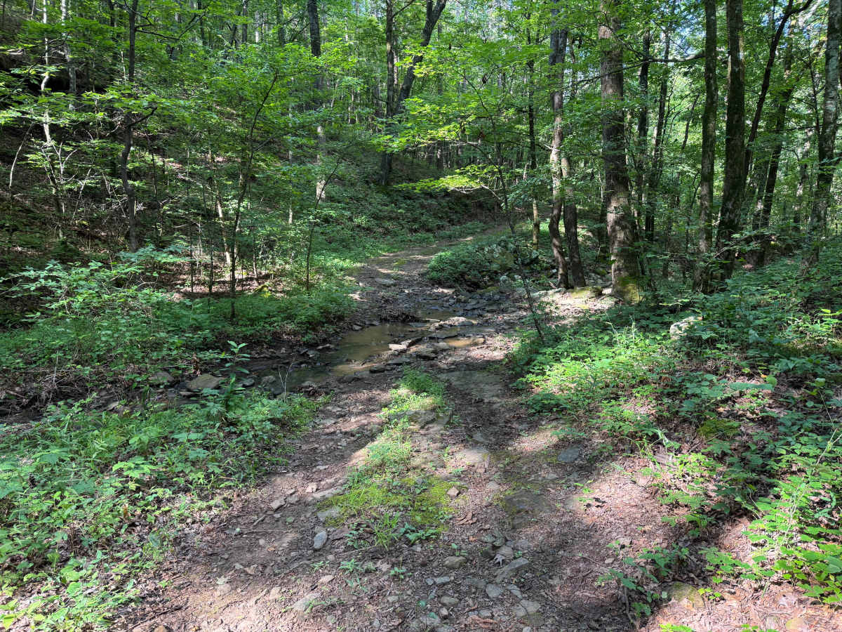
This route is not particularly difficult, but the confined trail width, limited turnaround locations, and high likelihood of vehicle-to-vegetation contact increase its overall challenge. Drivers of longer wheelbase or wider vehicles should be prepared for careful maneuvering, especially at the trail's end where space is extremely limited. The off-camber corner near the upper climb also requires attention to vehicle placement.
History
The Ozark National Forest was established in 1908 and today forms part of the Ozark-St. Francis National Forests, protecting more than one million acres across northern Arkansas. Many of the Forest Service roads traveled today began as logging, fire access, or resource management roads before becoming part of the modern recreation network. Forest management continues to play an important role in maintaining healthy ecosystems through timber management, prescribed fire, wildlife habitat restoration, and watershed protection. The rugged Boston Mountains and surrounding Ozark Highlands remain one of the oldest and most geologically significant mountain regions in North America, offering visitors a unique combination of natural beauty and rich forest history.


 Offroad