Trail Overview
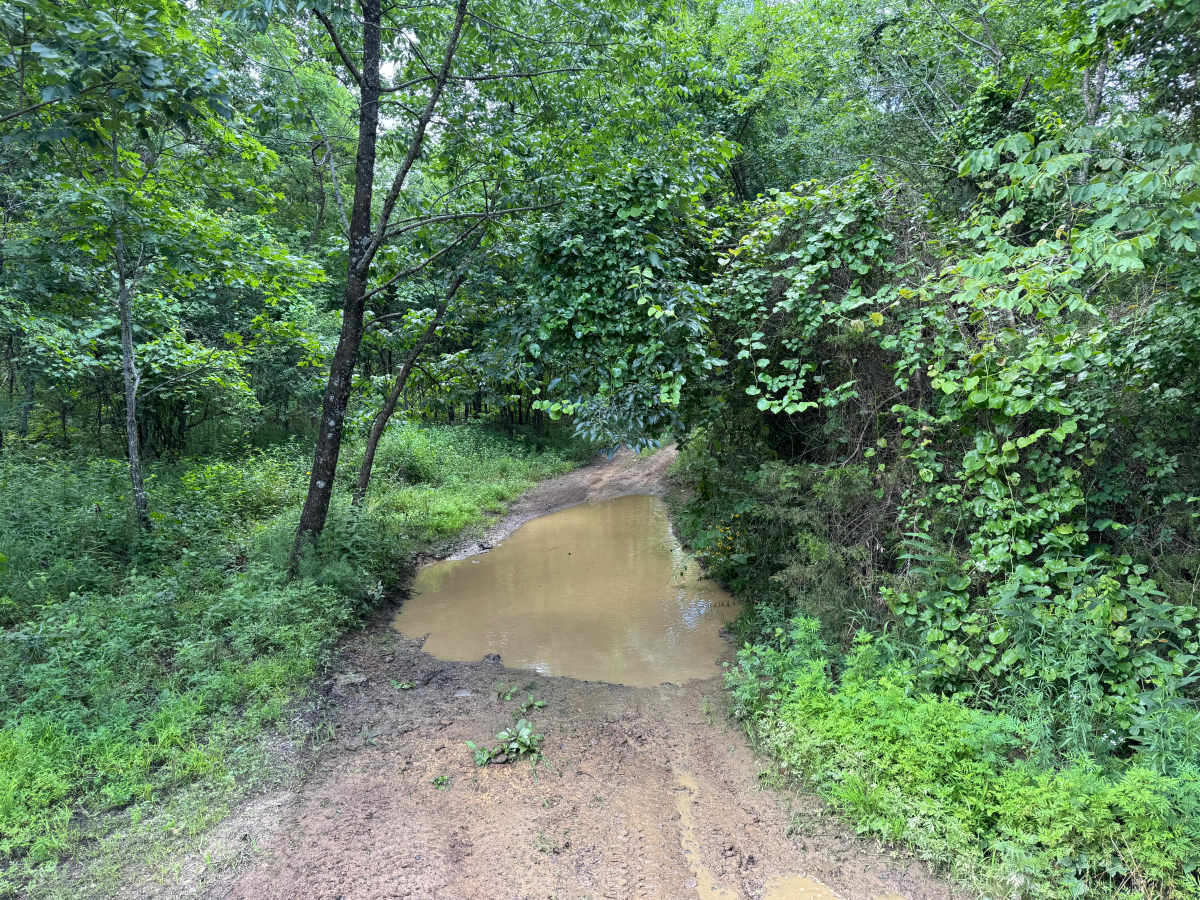
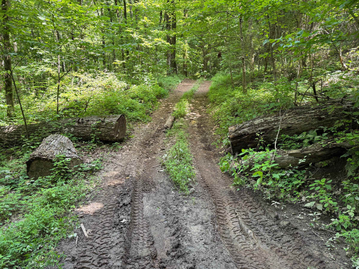
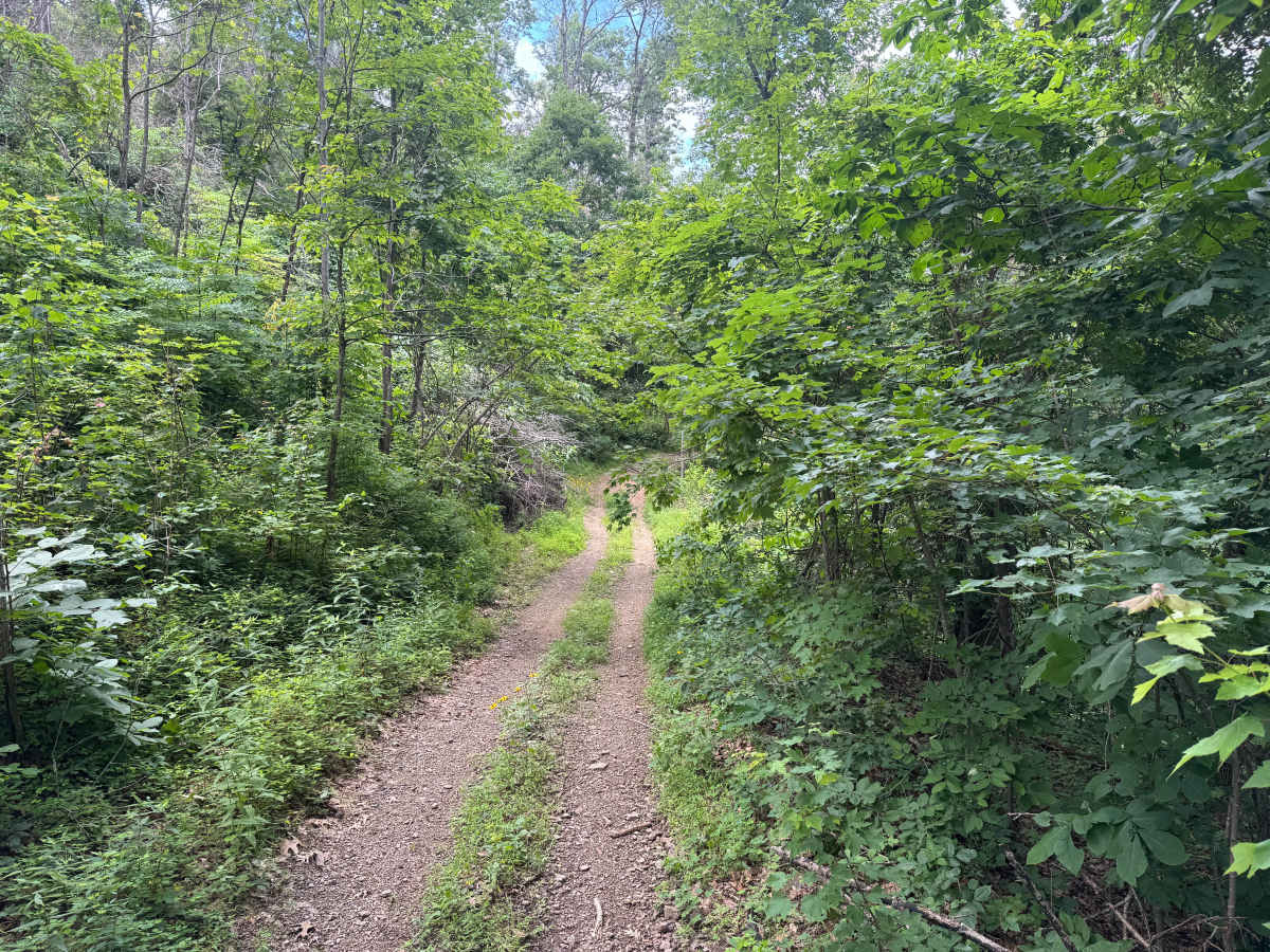
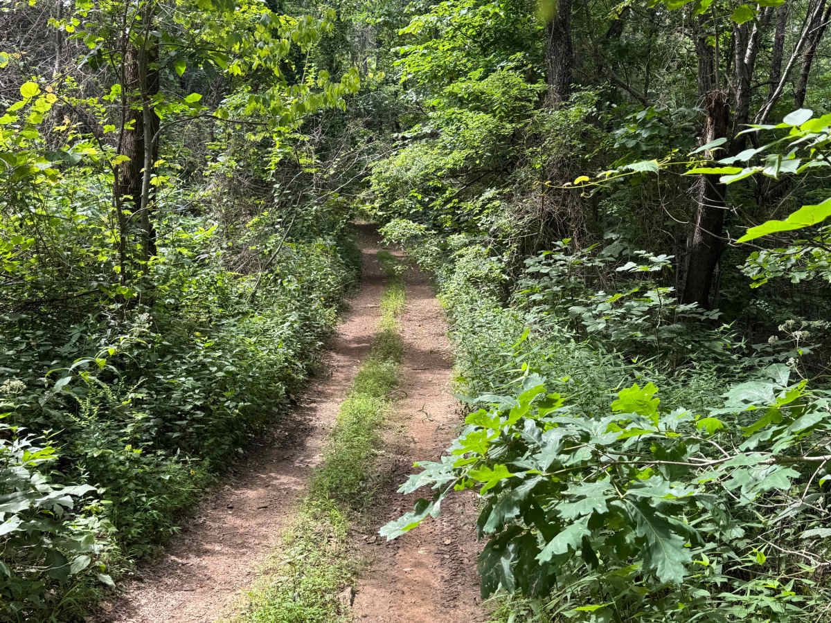
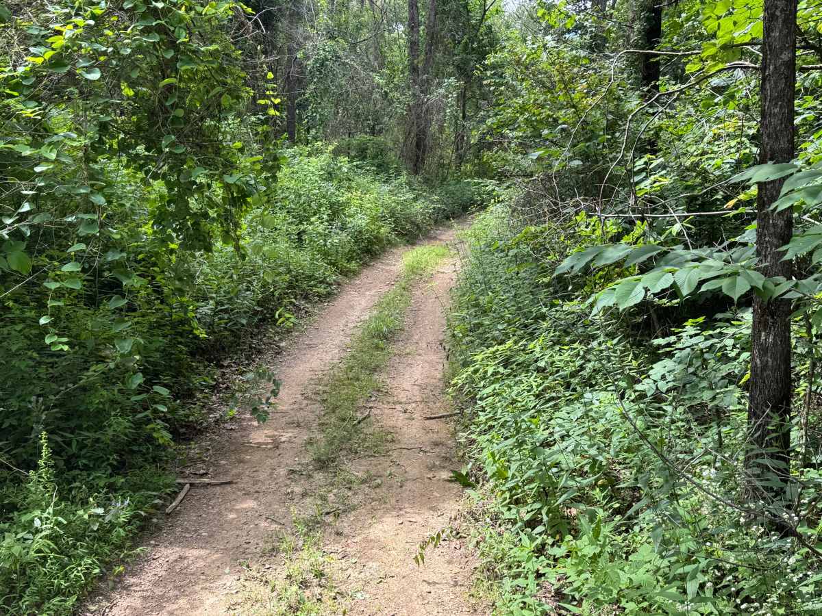
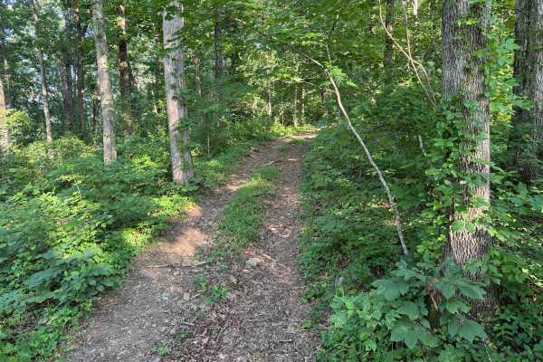
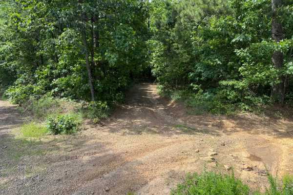
This route is open to all motorized vehicles and remains a single-vehicle-wide route for its entire length. Dense trees and brush line both sides of the route, making paint scratches and pinstriping likely throughout the drive. Because there are no suitable locations to pass another vehicle, drivers should be alert for oncoming traffic and be prepared to reverse if another vehicle is encountered. Several trees that fell across the trail in previous years have been cut to reopen the route, although some openings remain narrow enough that wider vehicles may need to drive partially over the remaining logs to continue. Shallow mud holes and standing water can be encountered after rain, but the route is otherwise composed of hard-packed dirt with only minor changes in elevation.
Difficulty
The narrow trail corridor, dense vegetation, lack of passing opportunities, occasional muddy sections, and tight openings around previously fallen trees require careful vehicle placement. Some cut logs remain close enough to the driving line that wider vehicles may need to climb them with a tire to continue through the obstacle. Wet conditions may increase the difficulty slightly where standing water and mud are present.
History
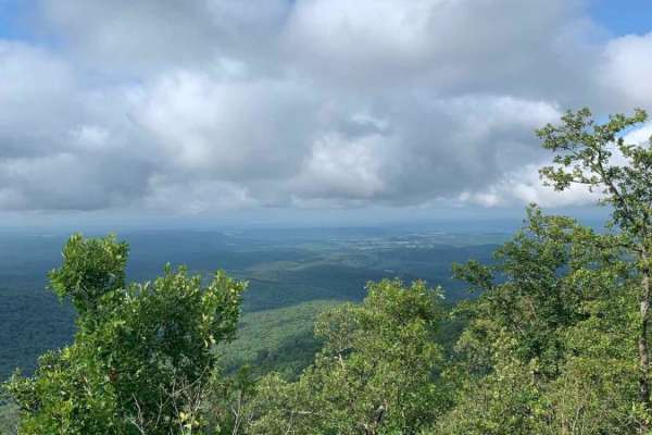
The Ozark National Forest was established in 1908 and today forms part of the Ozark-St. Francis National Forests, protecting more than one million acres across northern Arkansas. Many of the Forest Service roads traveled today began as logging, fire access, or resource management roads before becoming part of the modern recreation network. Forest management continues to play an important role in maintaining healthy ecosystems through timber management, prescribed fire, wildlife habitat restoration, and watershed protection. The rugged Boston Mountains and surrounding Ozark Highlands remain one of the oldest and most geologically significant mountain regions in North America, offering visitors a unique combination of natural beauty and rich forest history.