Trail Overview
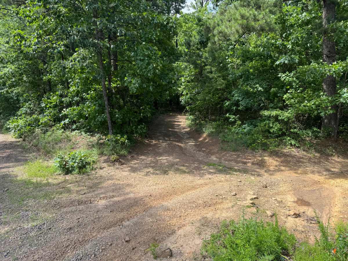
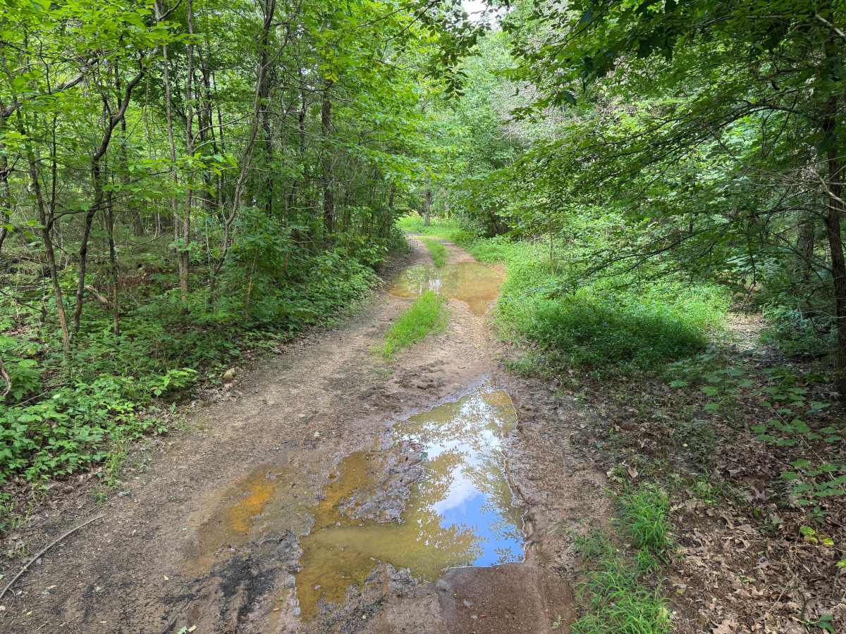
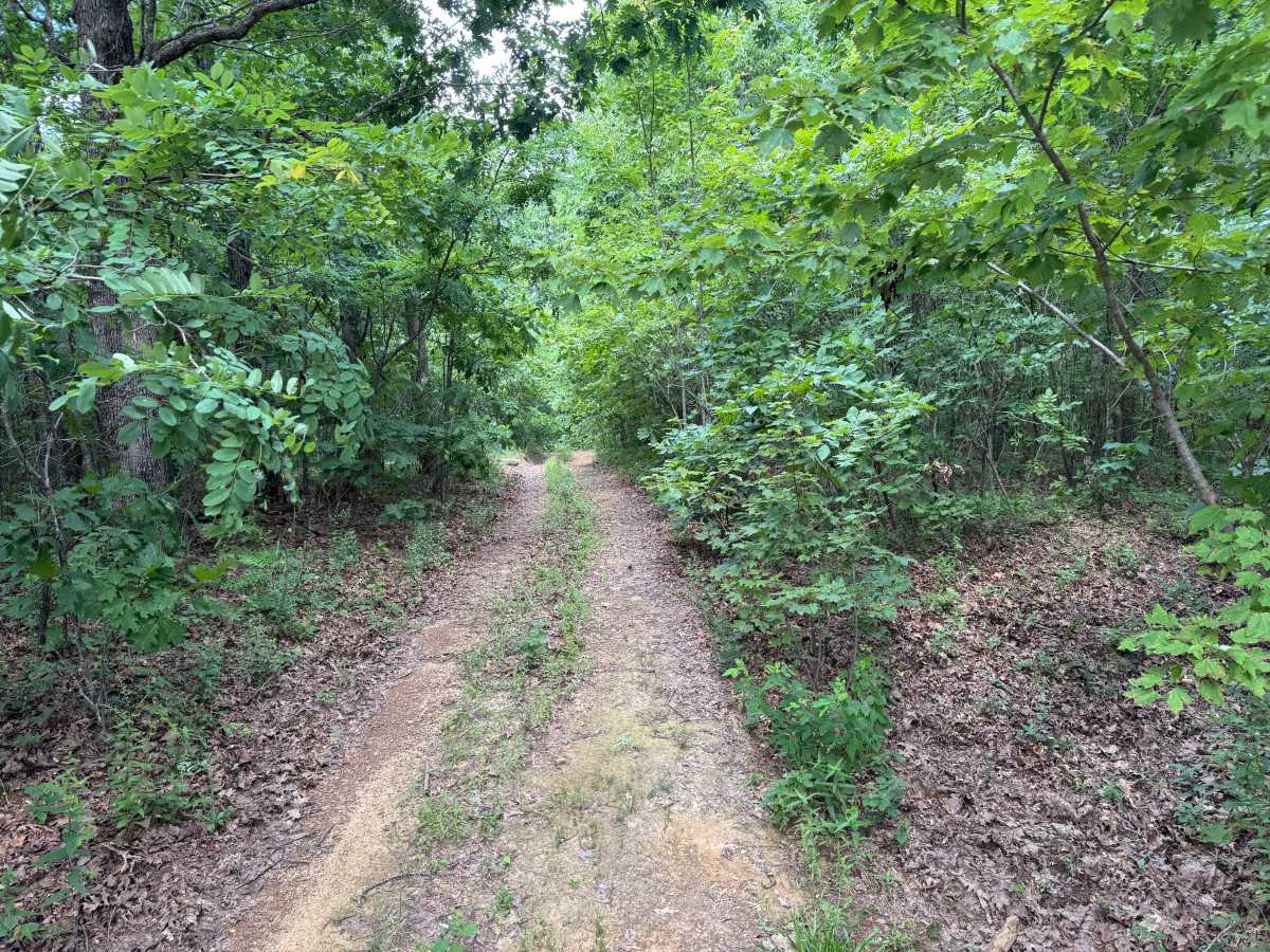
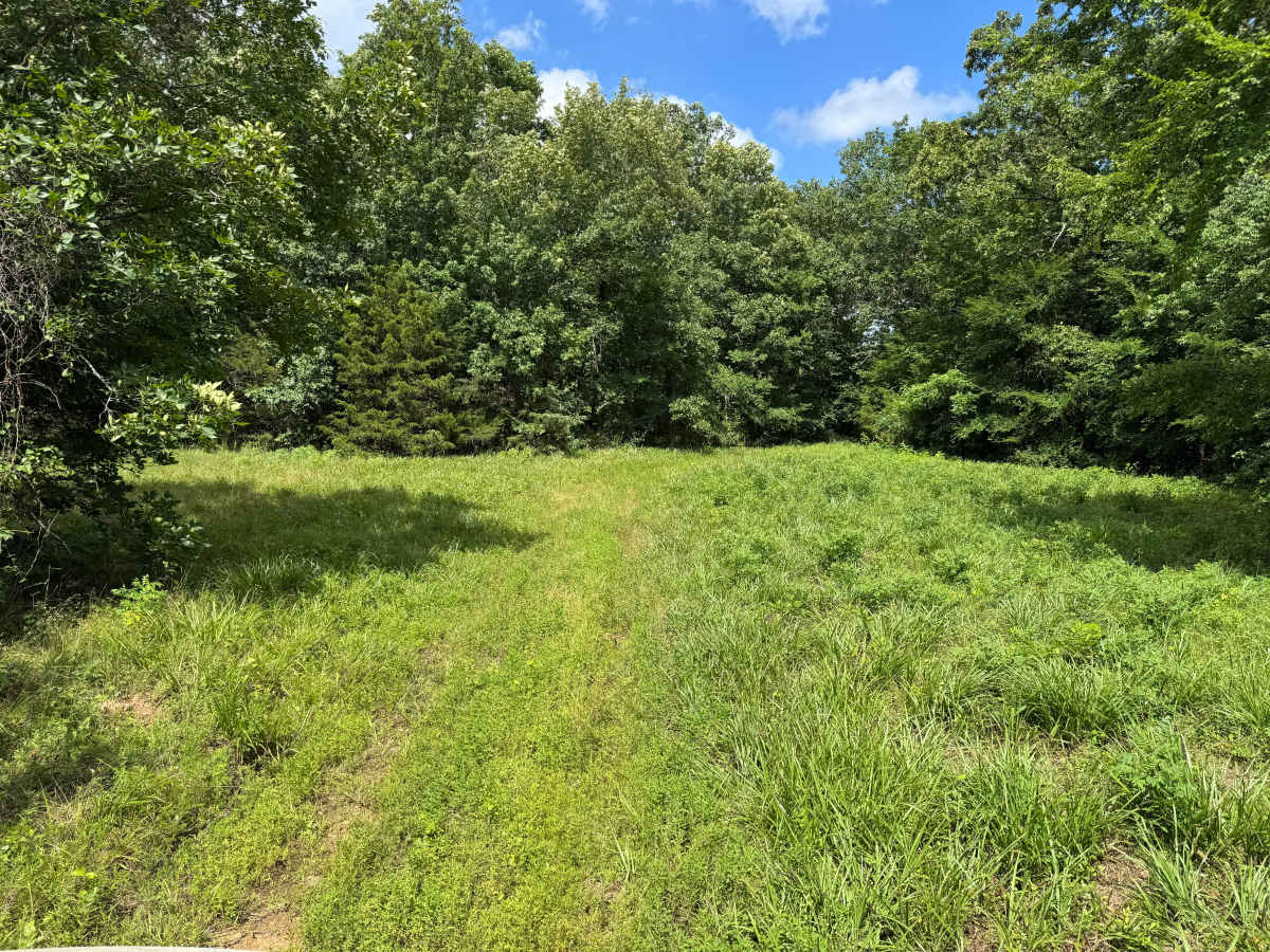
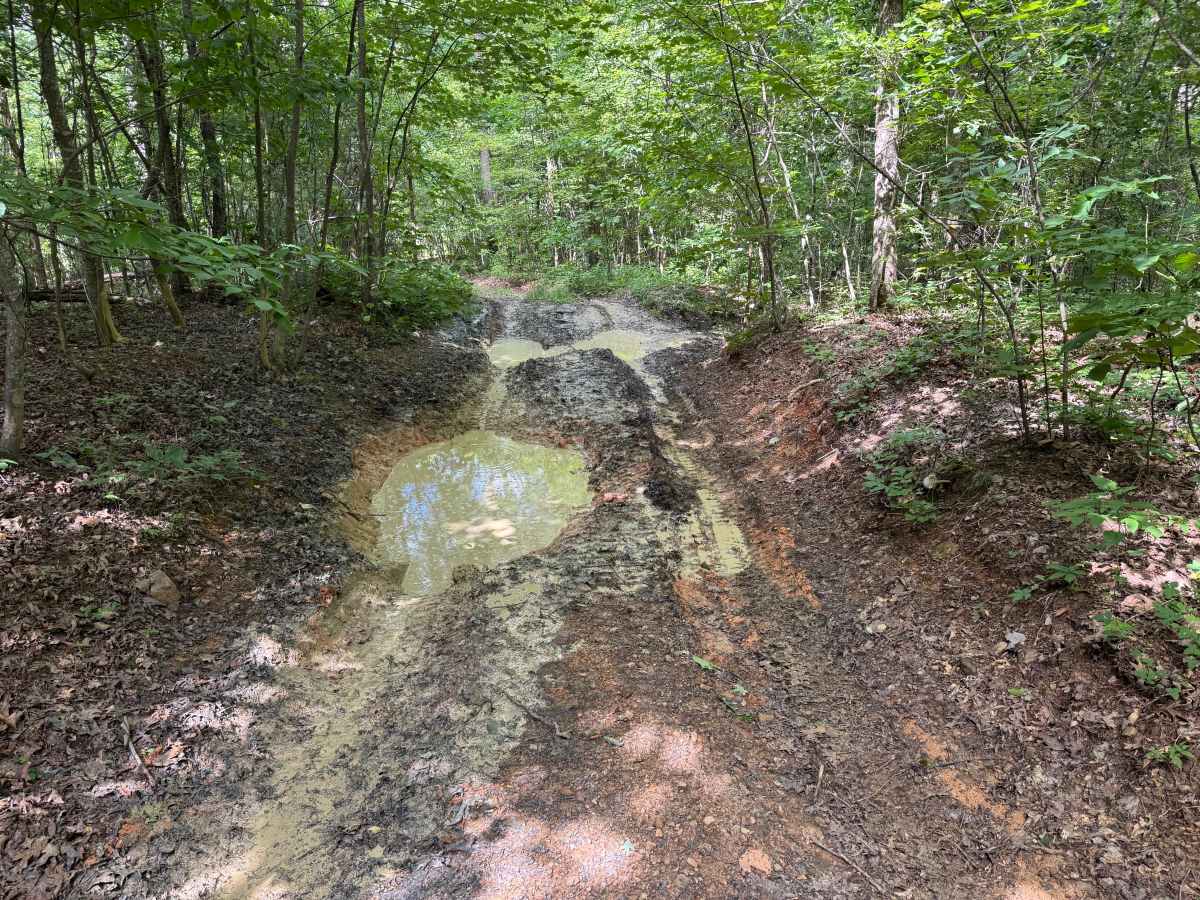
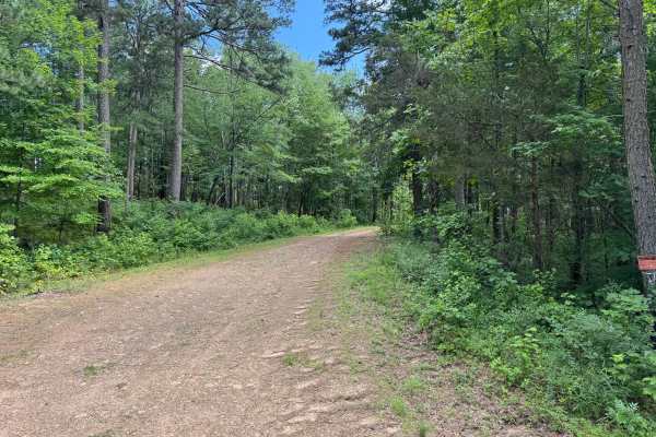
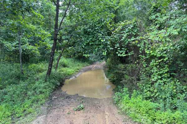
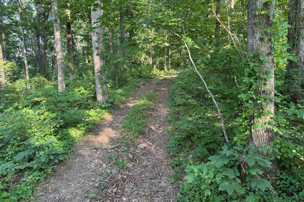
This route remains one vehicle wide for its entire length, with no opportunities to pass oncoming traffic. Dense trees and brush line both sides of the trail, making pinstriping and paint scratches very likely throughout the drive. There are no significant rock obstacles or steep climbs, although several shallow puddles and muddy areas may be encountered depending on recent weather. The highlight of the route is a large open grassy clearing that offers opportunities to observe wildlife and seasonal wildflowers. Beyond the clearing, the trail becomes increasingly overgrown as vegetation has reclaimed much of the original roadway, making the clearing the most practical turnaround location.
Difficulty
The primary challenges come from the narrow trail corridor, dense vegetation that will likely contact both sides of the vehicle, the lack of passing opportunities, and occasional muddy or water-filled sections after rain. While there are no significant rock obstacles or steep grades, careful vehicle placement is still required through the tighter, overgrown portions of the route.
History
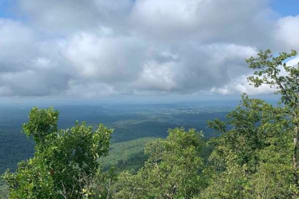
The Ozark National Forest was established in 1908 and today forms part of the Ozark-St. Francis National Forests, protecting more than one million acres across northern Arkansas. Many of the Forest Service roads traveled today began as logging, fire access, or resource management roads before becoming part of the modern recreation network. Forest management continues to play an important role in maintaining healthy ecosystems through timber management, prescribed fire, wildlife habitat restoration, and watershed protection. The rugged Boston Mountains and surrounding Ozark Highlands remain one of the oldest and most geologically significant mountain regions in North America, offering visitors a unique combination of natural beauty and rich forest history.