Trail Overview
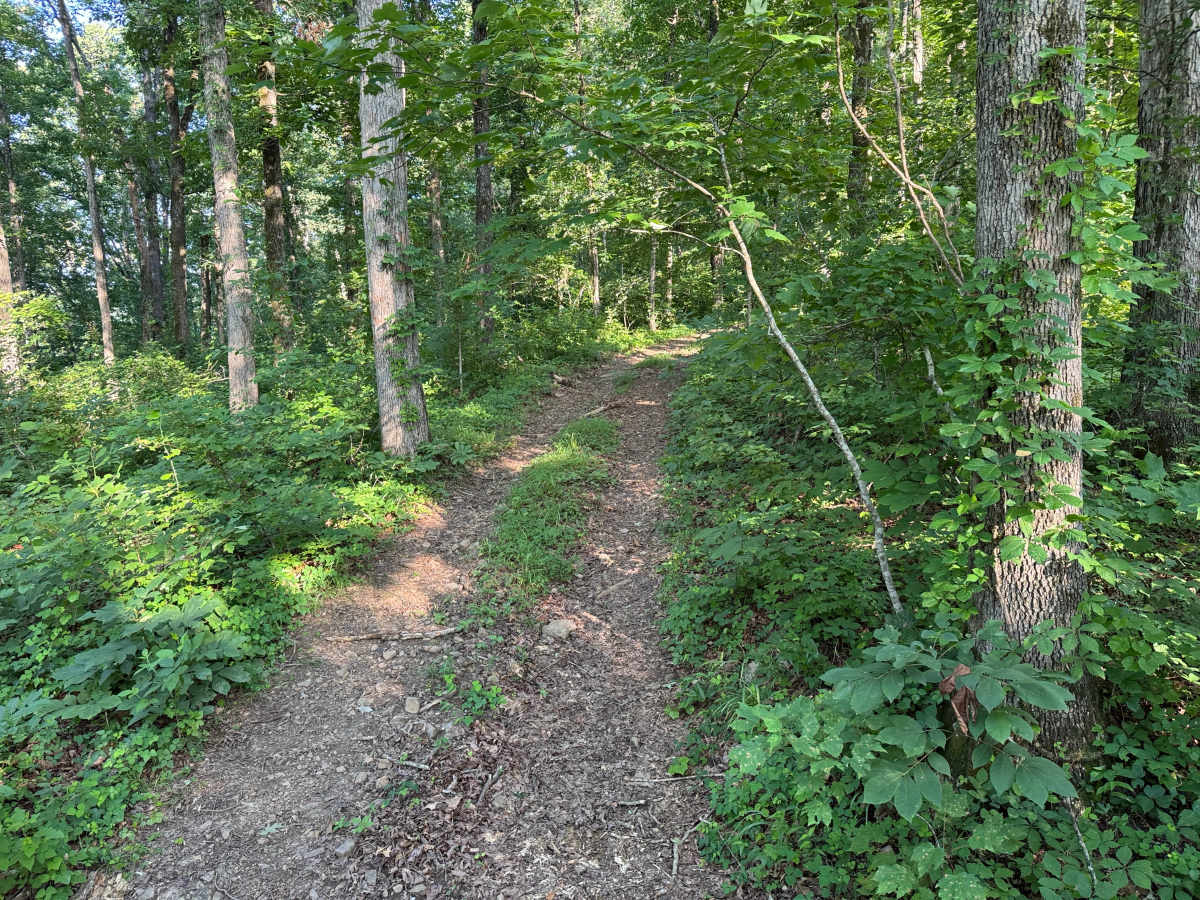
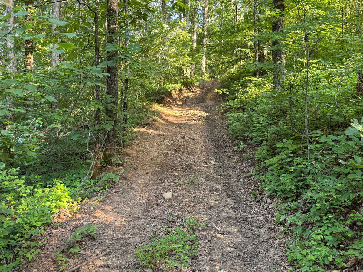
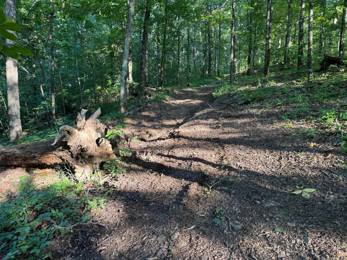
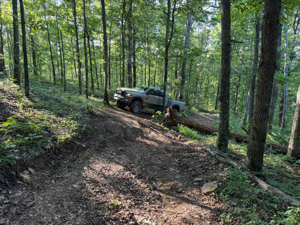
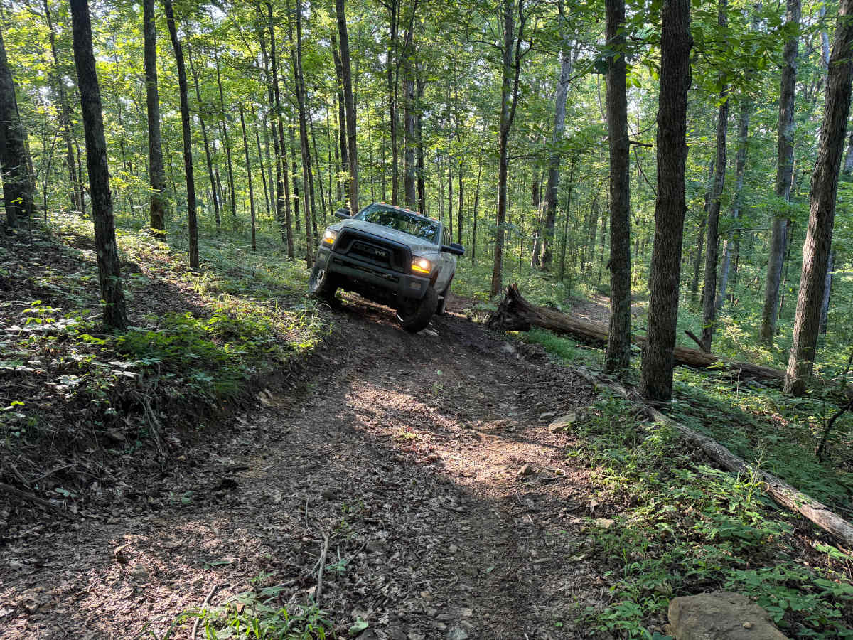
This narrow, one-vehicle-wide trail winds through the mature hardwoods with very few opportunities to pass or turn around. The route features a mix of dirt, scattered rock, exposed roots, and several gradual climbs, including an off-camber obstacle where drivers must climb around a large fallen tree. Although there are no major rock obstacles, the combination of narrow tread, side slopes, and uneven terrain requires careful tire placement. The trail continues through a diverse forest landscape of mature timber, large boulders, and dense undergrowth before ending at another fallen tree that completely blocks the route, requiring all vehicles to retrace their path. After recent rainfall, the climbs and off-camber sections become significantly slicker, increasing the overall difficulty.
Difficulty
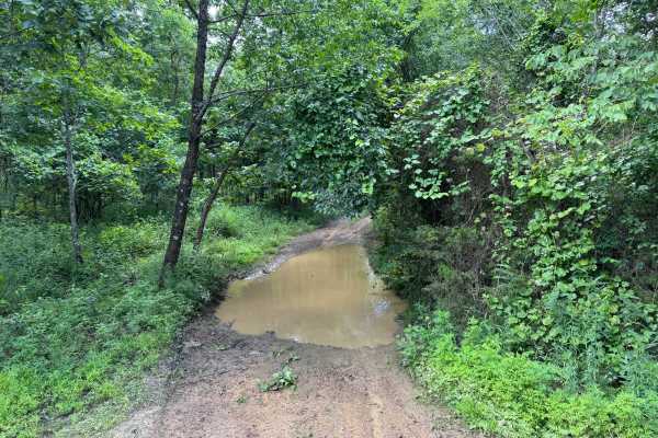
Off-camber terrain at the primary bypass requires careful wheel placement to maintain traction and stability. The narrow trail limits maneuvering and recovery options, while wet conditions can significantly reduce traction on the dirt surface and increase the challenge of the climbs.
History
The Ozark National Forest was established in 1908 and today forms part of the Ozark-St. Francis National Forests, protecting more than one million acres across northern Arkansas. Many of the Forest Service roads traveled today began as logging, fire access, or resource management roads before becoming part of the modern recreation network. Forest management continues to play an important role in maintaining healthy ecosystems through timber management, prescribed fire, wildlife habitat restoration, and watershed protection. The rugged Boston Mountains and surrounding Ozark Highlands remain one of the oldest and most geologically significant mountain regions in North America, offering visitors a unique combination of natural beauty and rich forest history.