Trail Overview
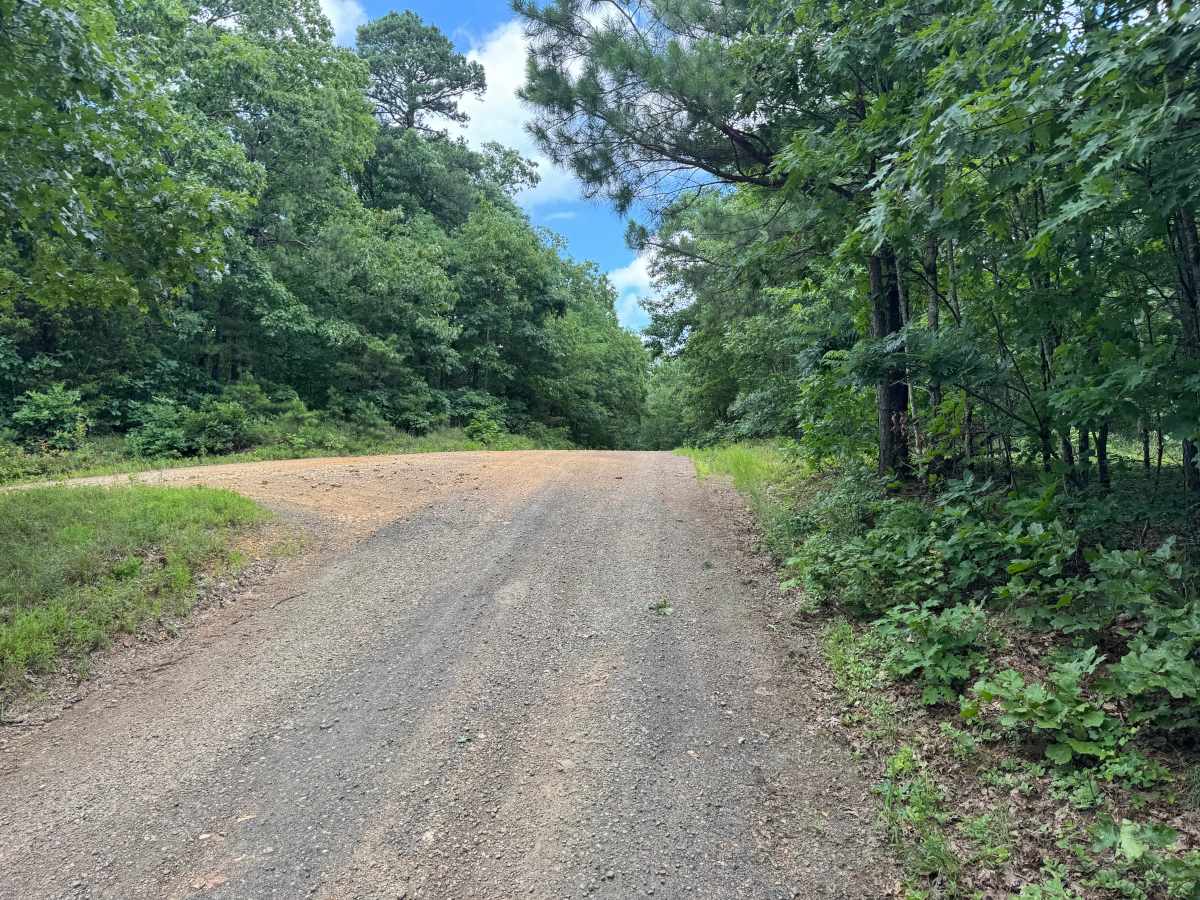
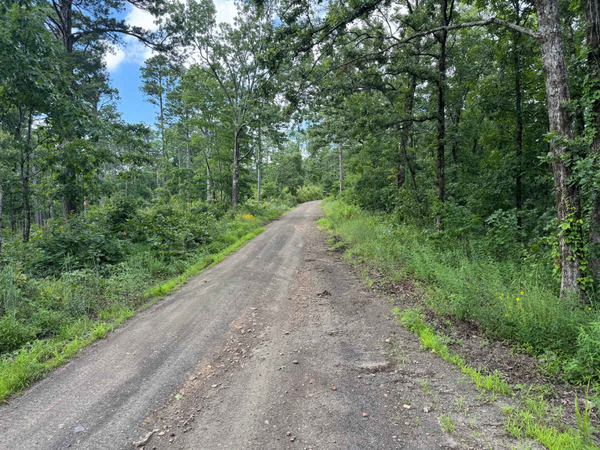
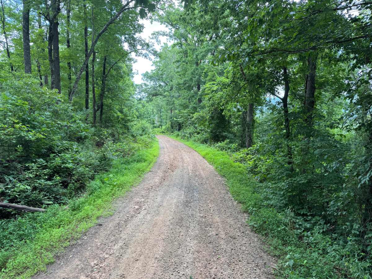
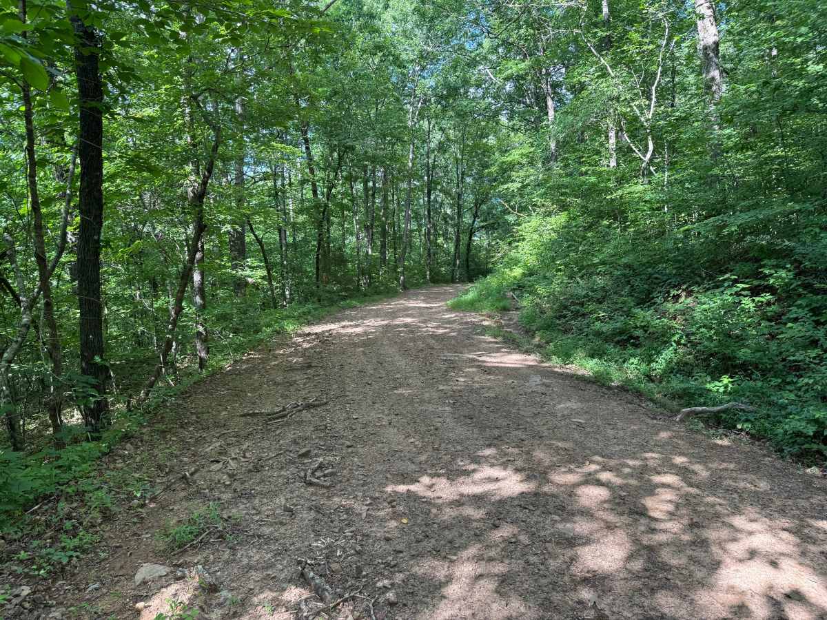
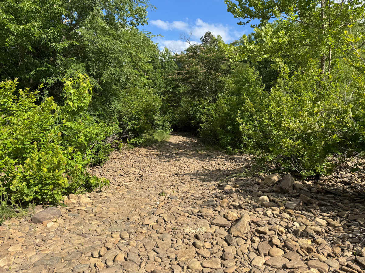
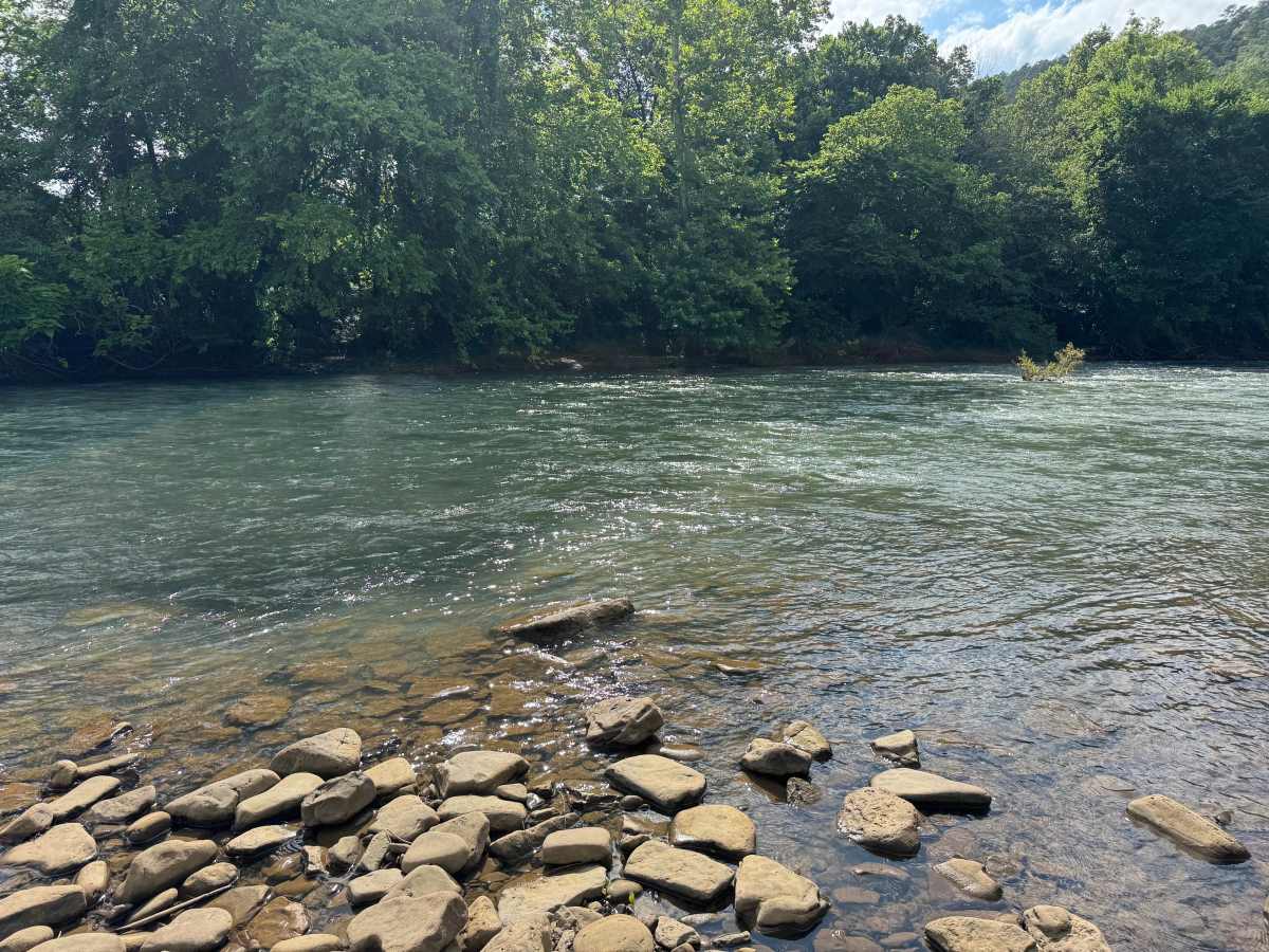
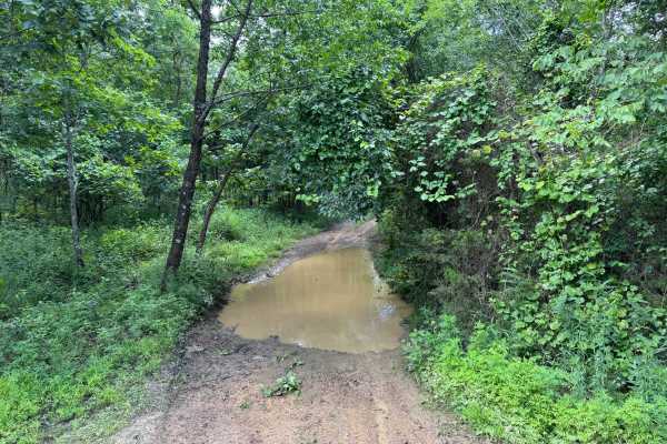
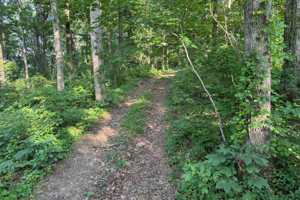
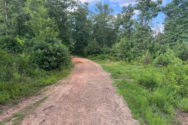
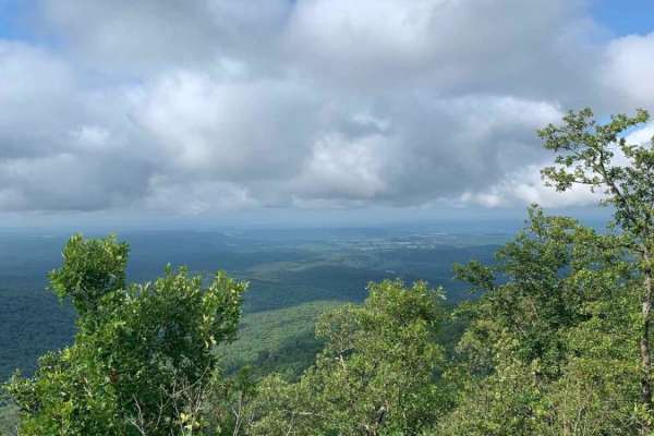
This route is part of the Ozark Overland Adventure Trail and offers a scenic drive through the hardwood and pines of the Ozark National Forest. The well-maintained gravel road winds through dense timber, shaded hollows, and occasional openings with views toward the surrounding ridges. The route surface is generally smooth with gradual elevation changes, making it an enjoyable section of the route for nearly any high-clearance vehicle while providing plenty of opportunities to enjoy the quiet forest, wildlife, and seasonal wildflowers that line the route. The highlight of this section of this route is the crossing of Big Piney Creek, a beautiful clear-water creek flowing over a broad rock bottom. Water levels can vary dramatically depending on recent rainfall, so always evaluate the crossing before attempting it, as conditions can quickly change from an easy ford to an unsafe crossing. On the opposite bank, drivers will encounter an off-camber climb that can challenge suspension articulation and traction, particularly for longer wheelbase vehicles or those with limited ground clearance. Aside from the creek crossing, the remainder of the route is straightforward, though drivers should remain alert for occasional loose rock, downed trees after storms, wildlife, and oncoming traffic along the narrow forest road.
Difficulty
The primary obstacle is the Big Piney Creek crossing, where water depth and current can vary significantly depending on recent rainfall. After crossing the creek, drivers will encounter an off-camber climb that can test suspension articulation and traction, especially on vehicles with limited ground clearance or highway-oriented tires. During or after heavy rain, the creek crossing may become impassable, and the off-camber section can become slick, increasing the overall difficulty. Drivers should always assess water depth and current before attempting the crossing and be prepared to turn around if conditions are unsafe. As with most routes through the Ozark National Forest, expect the possibility of downed trees, fallen limbs, and wildlife.
History
The Ozark National Forest was established in 1908 and today forms part of the Ozark-St. Francis National Forests, protecting more than one million acres across northern Arkansas. Many of the Forest Service roads traveled today began as logging, fire access, or resource management roads before becoming part of the modern recreation network. Forest management continues to play an important role in maintaining healthy ecosystems through timber management, prescribed fire, wildlife habitat restoration, and watershed protection. The rugged Boston Mountains and surrounding Ozark Highlands remain one of the oldest and most geologically significant mountain regions in North America, offering visitors a unique combination of natural beauty and rich forest history.