KA ozarkbronco
May 02, 2026
1990 Ford Bronco
Open
Normal
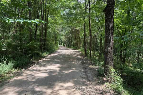
This trail is rated 4 ,technically its closer to a 3 because of the berms in it for water control ,also close to the end of the trail is a mud hole that can be deep
Danny Doyle
Apr 18, 2026
Open
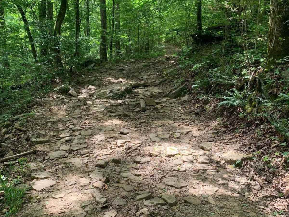
Ran in a vw touareg with 33. Fairly easy, last 400m are difficult, it's loose rocks on top of loose rocks on top of loose rock, can't crawl over that. Only one mud hole, take the left side, it's 20 inches.
Trevor Augustus
Dec 21, 2025
2015 Toyota 4Runner
Open
Muddy/WetRough/Deteriorated
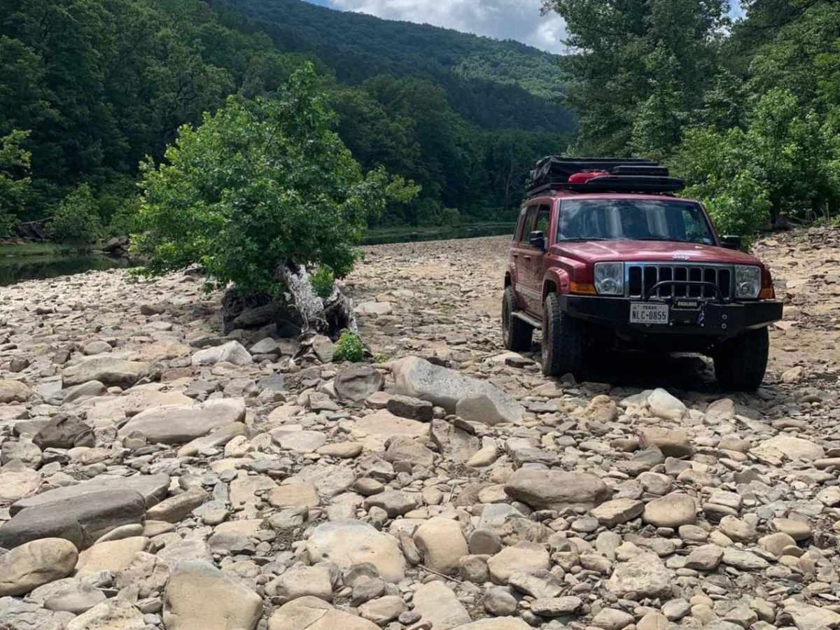
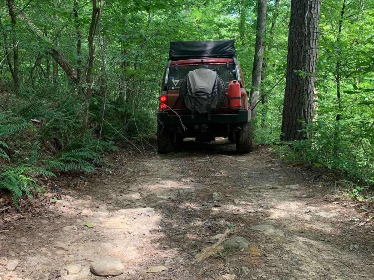
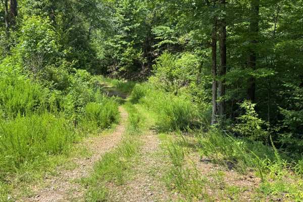
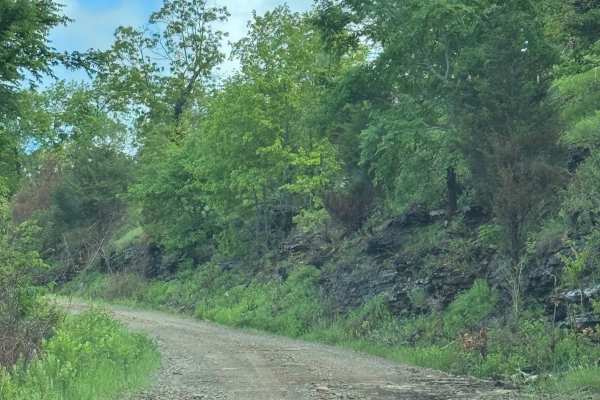
The beginning is very easy, the last 1/2 miles had a decent mud hole to get through then a downhill slope over some large rocks. The trail then gets very narrow especially when running a full size rig. We made it through with minimum pinstripes but several points we had to make narrow 3 point turns to get between some trees. The river bank we had to ourselves and was very peaceful
Jesse Mckinney
Nov 15, 2025
2023 Toyota 4Runner
Open
Normal
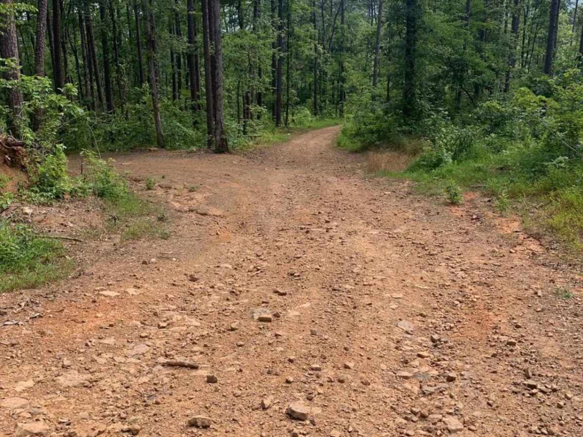
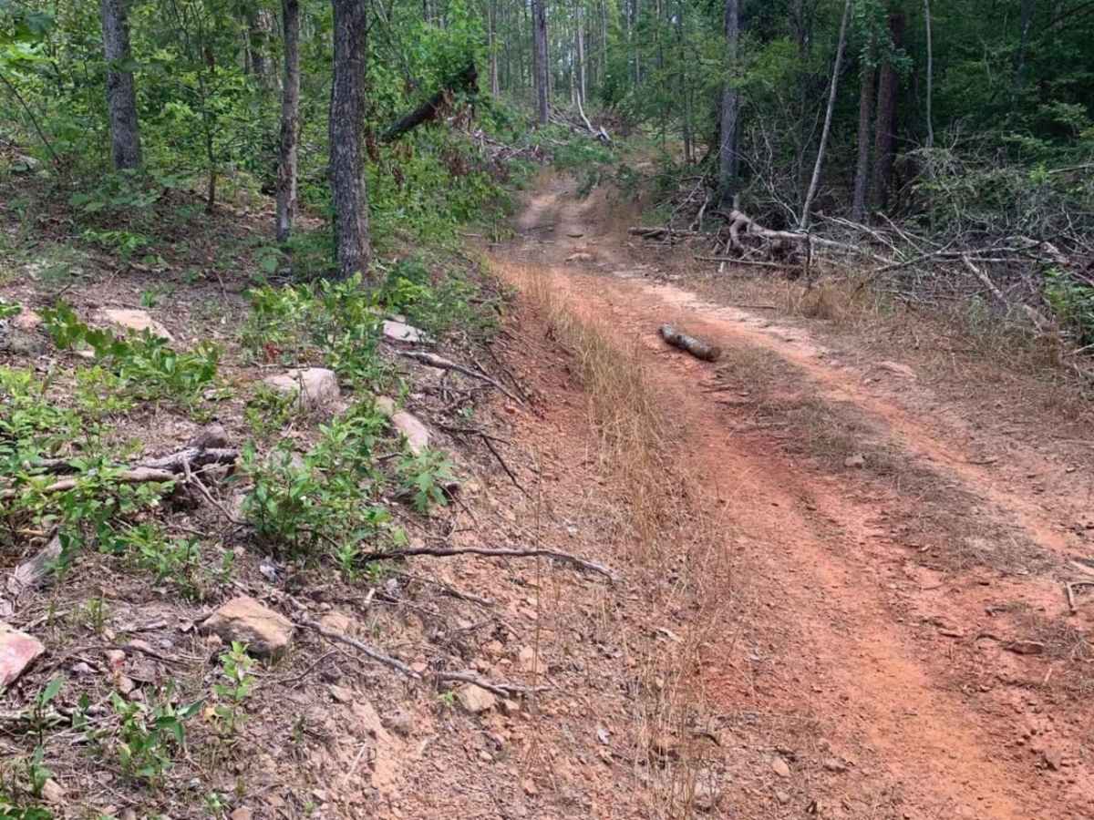
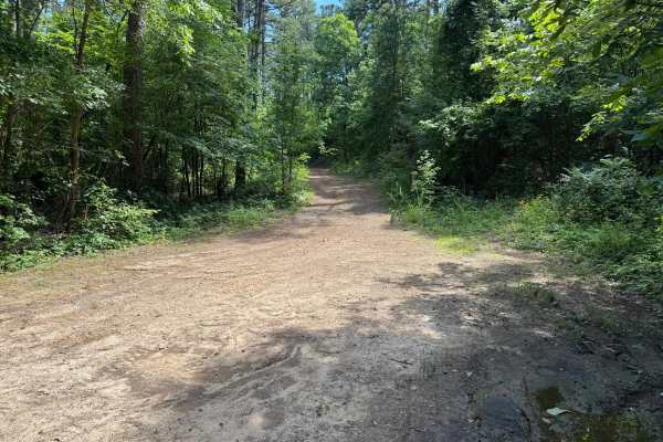
Looks like they fixed the road up and did some logging within the last month. Dozer tracks all over. Once you get to the tree line in the back and start down the ridge it gets rough. Factory TRD Pro did it with only some steps taking damage.
Ken Ekenseair
Jul 12, 2025
Open
Normal
Trail Report: Short & Fun with a Few Challenges
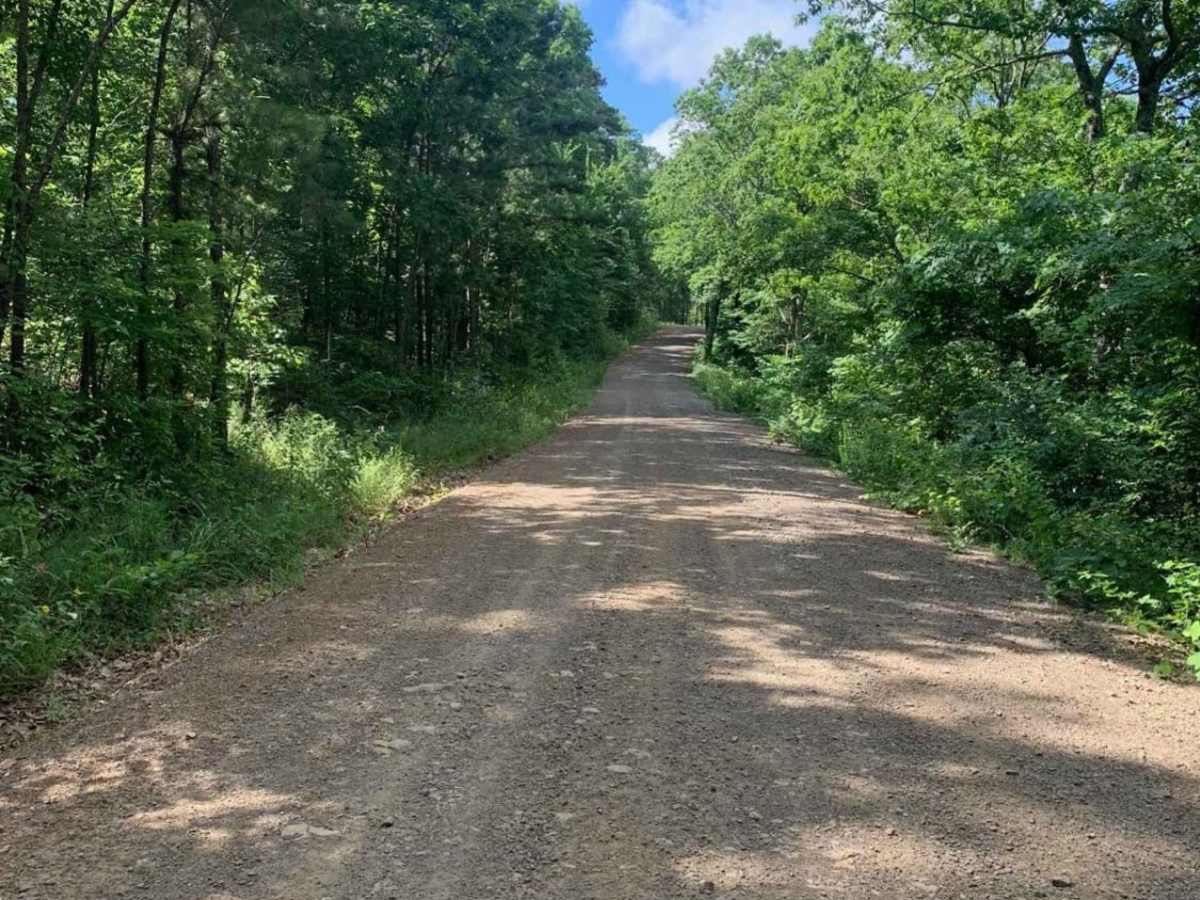
Starts off as a solid logging trail—wide and easy going. As you descend, it gets a bit more technical. Toward the bottom, it narrows and steepens, with grades around 8–9 degrees, and one section closer to 10–11 degrees. There are some tight turns and one mildly technical spot, but nothing too crazy.
Biggest concern is clearance—I ran it with 35s, and another guy made it through on 33s, but you'd want decent lift and tires. At the bottom, the silt and soft sand have built up quite a bit. Coming out requires momentum, but if you hit it with some speed, it's no problem.
Ed Williams
Jun 19, 2025
Open
Muddy/Wet
Easy logging road until you find mudbogs right before heading down to the river. Pretty tight for an old bronco and trailer with the trees but doable. Very secluded with just a couple kayaking past us.
Scott Cronister
Apr 27, 2025
2014 Jeep Wrangler
Open
Normal
I just wanted to add that the Pilot Rock Mt. Rd portion of this trail is an easy dirt road and passable by most any vehicle. The rating for Wainscott Bottoms as previously mentioned primarily refers to a short section near the creek at the end of that trail. This is a little deceiving for those just wanting to pass through the area. Thx.
Jeremy Taylor
Dec 26, 2024
2021 Jeep Gladiator
Open
Muddy/Wet
Mostly just a dirt road till you get to the descent at the end that takes you to the river. Nothing hard though. If you have 4 wheel drive you should be good
Richard Silvers
Sep 22, 2024
2024 BMW G310GS
Open
Normal
Trail conditions were good. Mostly dry with sporadic mud holes up to a foot deep in some areas. Scattered logs across the trail, nothing bigger than 8” in diameter. For single track it can get a little sketch on the downhill due to a good amount of loose rock.
David Davidson
Jul 20, 2024
Open
Normal
The trail starts out as normal gravel road. The closer you get to the creek the rougher and tighter it gets. We had to chainsaw a tree that had fallen over the trail. Well worth the drive to get right on the creek.