Trail Overview
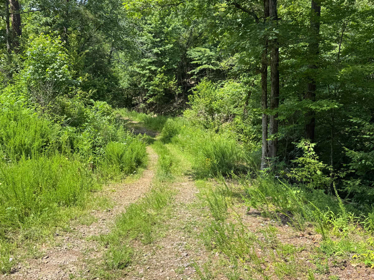
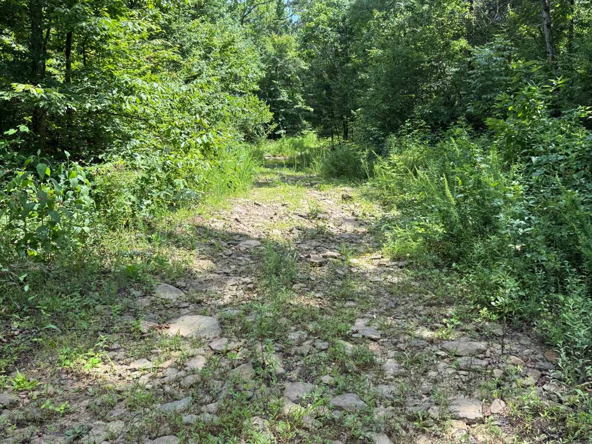
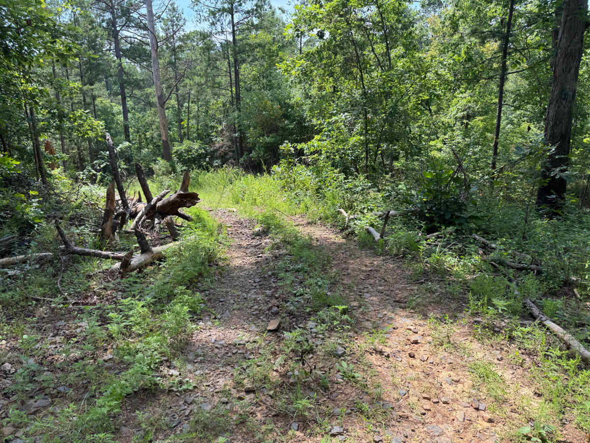
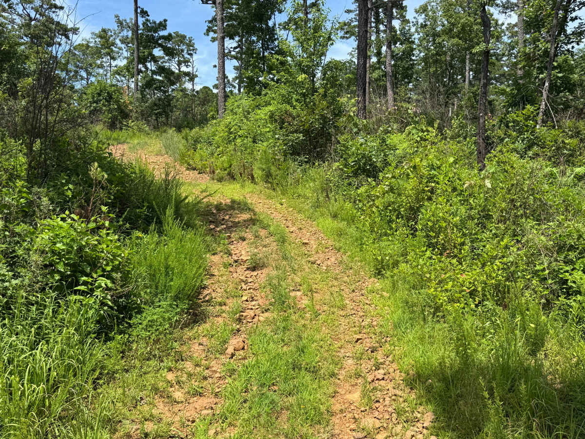
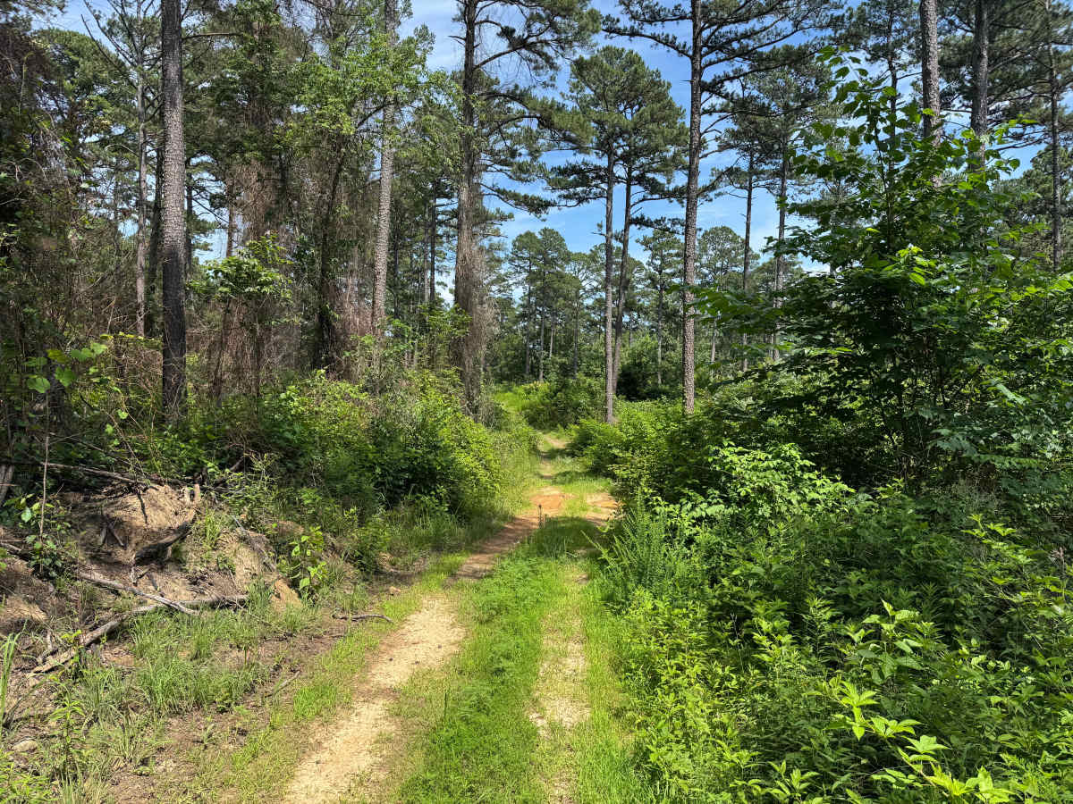
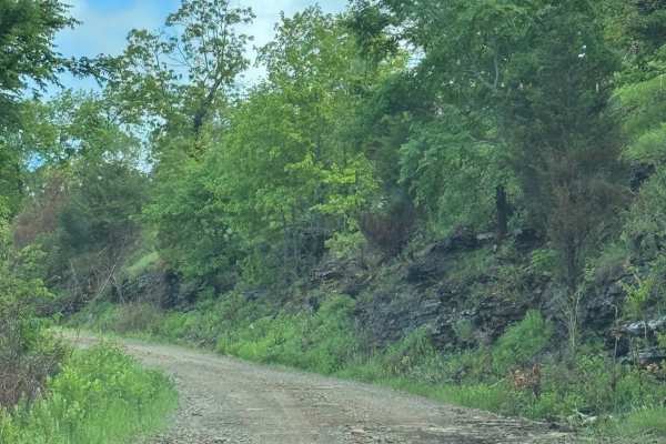
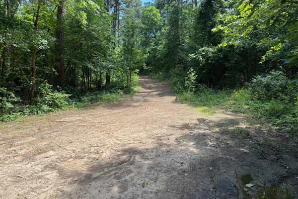
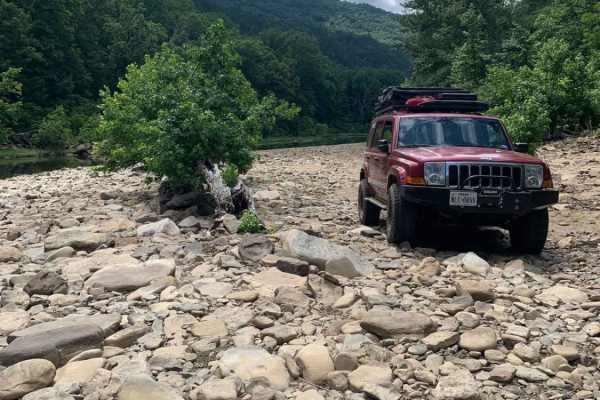
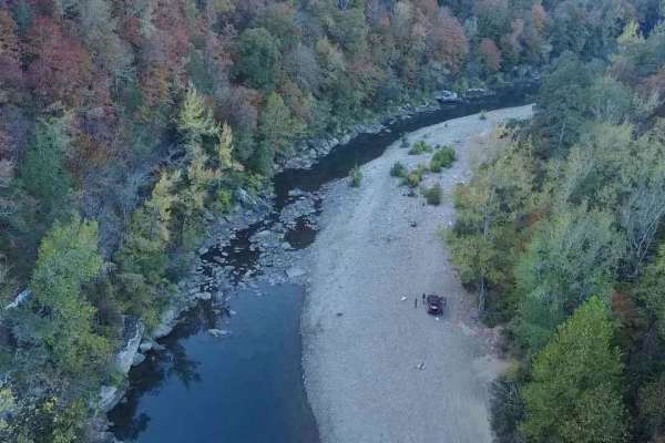
This narrow forest connector winds through dense hardwoods and pines, creating a secluded drive with frequent stretches where brush and tree limbs crowd the trail. Pinstriping is likely, especially for full-size trucks. Along the way, you'll cross a shallow creek with a firm bottom that is not typically affected by changing water levels. A rocky section features loose and embedded stones up to about 2 inches tall, adding some roughness but no significant rock-crawling obstacles. Evidence of previously fallen trees can be seen where the trail has been cleared, leaving a few tighter areas for longer wheelbase vehicles. The route finishes with a moderately steep hill climb that is best tackled in 4-Low. Several whoops on the climb can compress the suspension quickly, so maintaining a controlled speed will help prevent bottoming out.
Difficulty
Expect a narrow, one-vehicle-wide trail with encroaching brush that can cause pinstriping. Obstacles include a shallow creek crossing, scattered loose and embedded rocks less than 12 inches tall, several suspension testing whoops, and a moderately steep hill climb where having a good 4lo range transfer case is recommended to maintain control.
History
The Ozark National Forest was established in 1908 and today forms part of the Ozark-St. Francis National Forests, protecting more than one million acres across northern Arkansas. Many of the Forest Service roads traveled today began as logging, fire access, or resource management roads before becoming part of the modern recreation network. Forest management continues to play an important role in maintaining healthy ecosystems through timber management, prescribed fire, wildlife habitat restoration, and watershed protection. The rugged Boston Mountains and surrounding Ozark Highlands remain one of the oldest and most geologically significant mountain regions in North America, offering visitors a unique combination of natural beauty and rich forest history.