
Dirt Bike Trails
Near Entiat, Washington
Explore All Dirt Bike Trails Near Entiat, Washington
Dirt Bike Trails Near Entiat, Washington
Discover the best dirt bike trails near you. Browse trail maps, check difficulty ratings, and find your next adventure — whether you're looking for a quick ride or an all-day expedition.
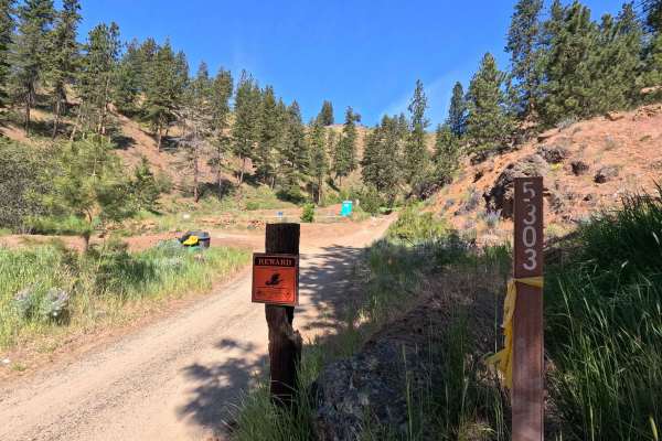
Powerline Road - FS 5303
Powerline Road is a 4.2-mile point-to-point single-lane dirt route that includes shelf-road sections and some potholes and rutted areas that may make travel difficult for low-clearance vehicles. The road shares its first 1.6 miles with Section 4 of the Washington Backcountry Discovery Route, where u...
Learn more about Powerline Road - FS 5303
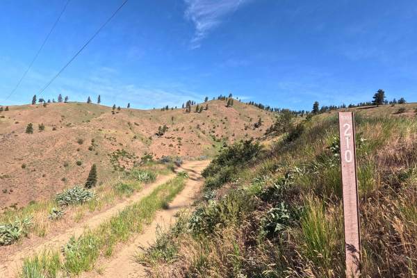
FS 5303210
FS 5303210 is a 6.9-mile point-to-point single-lane dirt route. The road is generally smooth but includes shelf road sections and some brush encroachment in narrower areas. A short but steep climb is present along the route, featuring fist-sized loose rock where 4WD is recommended. This trail is par...
Learn more about FS 5303210
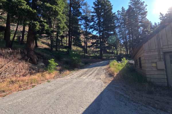
Steliko Ridge Road - FS 5310
Steliko Canyon Road is a 6.9-mile out-and-back route that begins by climbing past the work camp in Ardenvoir. The trail is steep and single-lane, featuring water bars, shelf road sections, and areas of mild rutting. As the route continues, rutting becomes more pronounced and brush encroachment incre...
Learn more about Steliko Ridge Road - FS 5310
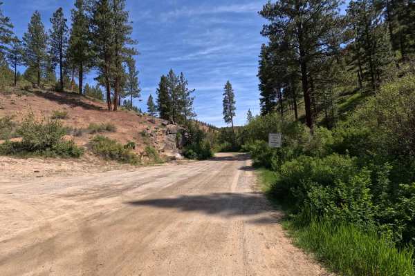
Mud Creek Road - FS 53
Mud Creek Road is a 7.5-mile point-to-point route that begins as a wide, smooth road with occasional potholes and numerous spur trails branching off along the way. The route includes some mildly rutted sections before narrowing and transitioning into a shelf road in the upper portions, where water d...
Learn more about Mud Creek Road - FS 53
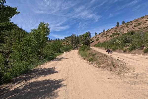
Oklahoma Gulch Road
Oklahoma Gulch Road is a 5.7-mile point-to-point route that follows a wide, smooth, and well-maintained gravel and dirt surface, connecting Mud Creek Road to Highway 97. A Discover Pass is required for access. The road becomes steeper and more winding southeast of the intersection with South Fork Mu...
Learn more about Oklahoma Gulch Road
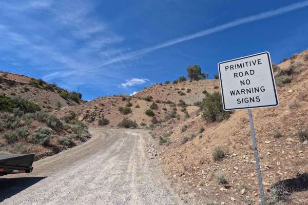
Swakane Canyon Road - FS 7415
Swakane Canyon Road is a 12.1-mile point-to-point route that begins directly off Highway 97 as a wide two-lane gravel road before narrowing and becoming rougher past the shooting range at mile 1.3. As the route climbs, it features some rutted, narrow sections where low-clearance vehicles are not rec...
Learn more about Swakane Canyon Road - FS 7415
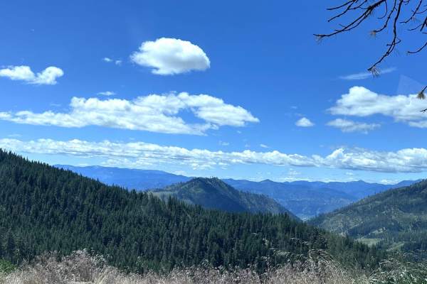
Eagle Creek Road
This 5.1-mile point-to-point trail begins at the end of the pavement on Eagle Creek Road and connects to Derby Canyon Road. This is a fun trail to drive with all the switchbacks as you climb from 2000 to 3500 feet elevation. This trail is passable by stock 4WD or AWD vehicles.
Learn more about Eagle Creek Road
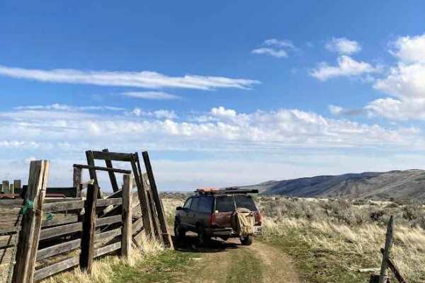
Duffy Creek Overlook
The Duffy Creek route takes you across some of the most scenic BLM land in central Washington. Most of the route overlooks the stunning Waterville Plateau. The route eventually descends into Duffy Creek; however, that section of the route is less used, overgrown, and narrow. Full-sized vehicles will...
Learn more about Duffy Creek Overlook
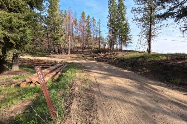
Tillicum Road - FS 58
Tillicum Road is an 8.9-mile point-to-point route that follows a wide, smooth, and well-maintained dirt road. The route descends into a canyon along Tillicum Creek and passes through a recently burned area. Logging operations are currently active, so users should be aware of equipment and truck traf...
Learn more about Tillicum Road - FS 58
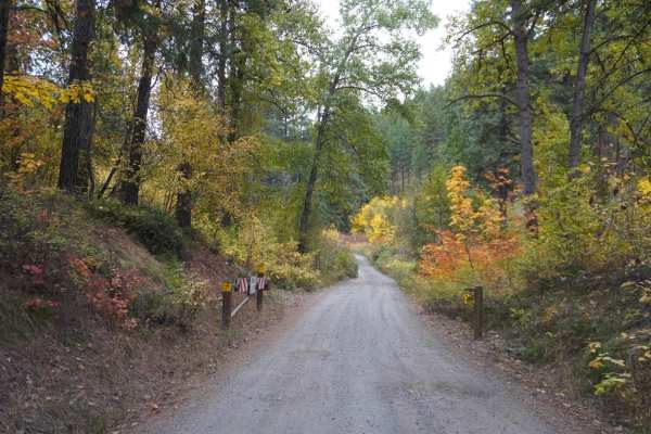
Blag Mountain
The Blag Mountain Trail is a gem that caters to both seasoned adventurers and novice explorers seeking a thrilling yet accessible off-roading experience. What sets this trail apart is its versatility, accommodating 2WD vehicles without the need for specialized, highly capable off-road vehicles or el...
Learn more about Blag Mountain
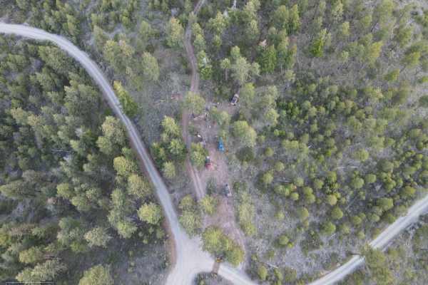
Washington Backcountry Discovery Route - Section 4
The Washington Backcountry Discovery Route (WABDR) is a trail that runs from Canada to Oregon, initially designed for adventure, dual-sport motorcycles, and 4X4 vehicles. This trail covers most of section 4. Unfortunately, the tail end of section 4 was still snowed in at this particular time and was...
Learn more about Washington Backcountry Discovery Route - Section 4
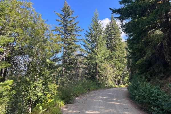
Sugarloaf Mountain Lookout Tower
This is a spur trail of the WABDR that's well worth the stop. You can drive up most of the way to the lookout tower and park. You will need to walk the rest of the way up. Depending where you park, it can be up to a half mile walk.This lookout tower is staffed in the summer months by the Forest Serv...
Learn more about Sugarloaf Mountain Lookout Tower
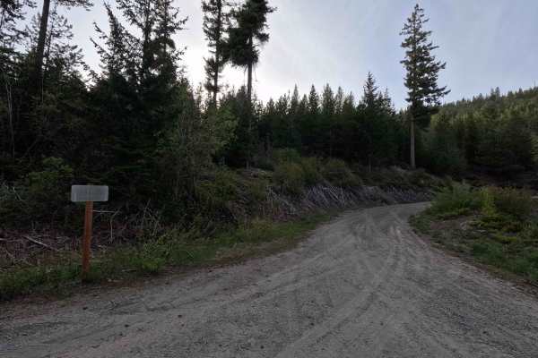
Tyee Lookout Road - FS 5713
Tyee Lookout Road is a 4.2-mile out-and-back single-lane gravel route that climbs steeply from approximately 4,400 feet to 6,600 feet, ending at Tyee Lookout. The road is generally well-maintained but features steep water bars that may make travel difficult for low-clearance vehicles. The turnaround...
Learn more about Tyee Lookout Road - FS 5713
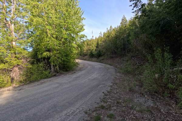
Tyee Ridge Road - FS 57
Tyee Ridge Road is a 2.9-mile out-and-back segment that begins where the route transitions to gravel 12.2 miles up from the road's start. The road starts as a wide, well-maintained gravel surface, generally smooth and dusty, passing through a recently burned area. After a gate near the Mad River Tra...
Learn more about Tyee Ridge Road - FS 57
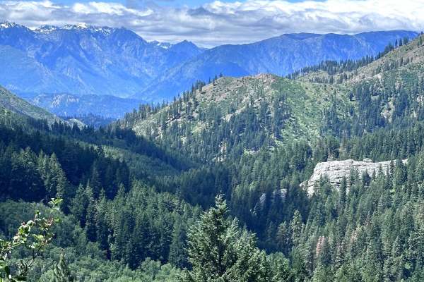
Derby Canyon Road
This 8.7-mile point-to-point trail takes you from Peshastin up into the Entiat Mountains and connects to the Washington Backcountry Discovery Route. This trail is a maintained Forest Service road and easily passable up to Eagle Creek Road. After Eagle Creek Road the trail begins to get rutted. Just ...
Learn more about Derby Canyon Road
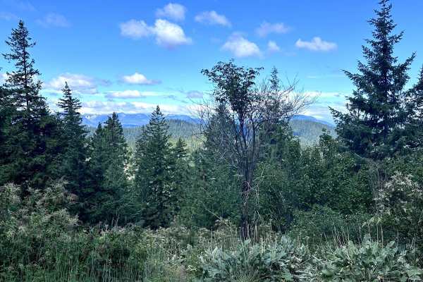
Second Creek Road
This 8.2-mile point-to-point trail takes you from the Chumstick Highway up into the Entiat Mountain range. This trail is easy with only mud holes and ruts less than 12" in depth. There is a section of this trail that is overgrown with the possibility of pin-stripping. The trail is passable by stock ...
Learn more about Second Creek Road
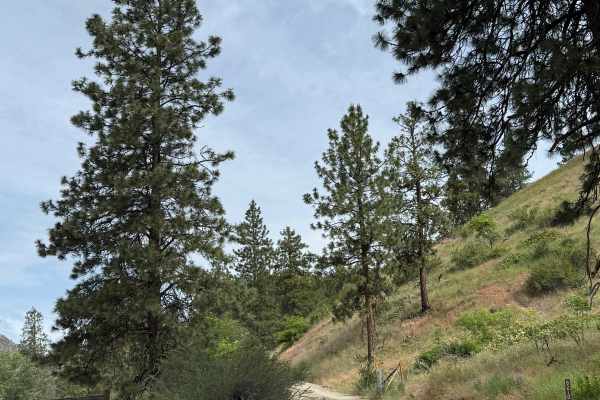
Joe Creek Road - FS 8210
This is a forest road that climbs over 3,000 feet in elevation. The trail starts on gravel and transitions to dirt. As the road climbs, it also becomes narrow and one lane wide in many areas, with no place to pass. There are some ruts and washouts under a foot deep, which should not cause an issue. ...
Learn more about Joe Creek Road - FS 8210
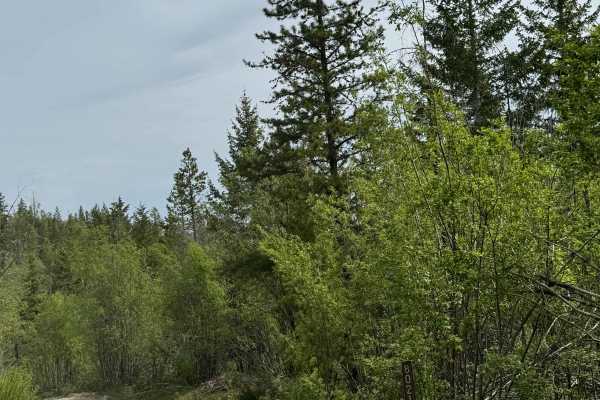
Washington Creek Road - FS 8021
This forest road is dirt-based and narrow, but widens and turns to gravel as you descend into Echo Valley. The trail is one vehicle wide for the majority of the time, with places to pass. You will encounter ruts and wash under a foot, and many humps/whoops that will lift you out of the seat if taken...
Learn more about Washington Creek Road - FS 8021
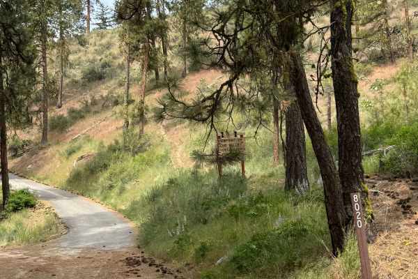
Cooper Mountain Road Southwest - FS 8020
This is a dirt-based forest road that climbs more than 3,000 feet in elevation. There are sections of gravel and mulch, with some areas having loose rocks. There are humps/whoops in the road that you must go over, and the road is narrow and one vehicle wide in most places, with no room to pass. Ther...
Learn more about Cooper Mountain Road Southwest - FS 8020
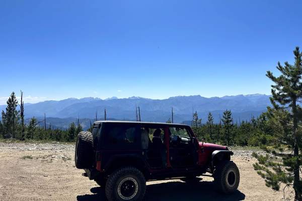
Entiat Ridge Trail
This 15-mile point-to-point trail takes you up into the Entiat Mountains. This single-vehicle-width trail gives you great views of Lake Wenatchee and the Wenatchee River Valley. You can stop at the old Sugarloaf Peak Lookout Tower (a short hike to the top). This trail is passable by AWD and 4WD vehi...
Learn more about Entiat Ridge Trail
ATV trails near Entiat, Washington
Explore ATV-friendly trails near you. These trails are accessible for vehicles up to 50 inches wide, perfect for ATVs and smaller off-road machines.
Powerline Road - FS 5303
Powerline Road is a 4.2-mile point-to-point single-lane dirt route that includes shelf-road sections and some potholes and rutted areas that may make travel difficult for low-clearance vehicles. The road shares its first 1.6 miles with Section 4 of the Washington Backcountry Discovery Route, where u...
Learn more about Powerline Road - FS 5303
FS 5303210
FS 5303210 is a 6.9-mile point-to-point single-lane dirt route. The road is generally smooth but includes shelf road sections and some brush encroachment in narrower areas. A short but steep climb is present along the route, featuring fist-sized loose rock where 4WD is recommended. This trail is par...
Learn more about FS 5303210
Steliko Ridge Road - FS 5310
Steliko Canyon Road is a 6.9-mile out-and-back route that begins by climbing past the work camp in Ardenvoir. The trail is steep and single-lane, featuring water bars, shelf road sections, and areas of mild rutting. As the route continues, rutting becomes more pronounced and brush encroachment incre...
Learn more about Steliko Ridge Road - FS 5310
Mud Creek Road - FS 53
Mud Creek Road is a 7.5-mile point-to-point route that begins as a wide, smooth road with occasional potholes and numerous spur trails branching off along the way. The route includes some mildly rutted sections before narrowing and transitioning into a shelf road in the upper portions, where water d...
Learn more about Mud Creek Road - FS 53
UTV/side-by-side trails near Entiat, Washington
Find UTV and side-by-side trails near you. These trails accommodate vehicles up to 60 inches wide, ideal for UTVs, side-by-sides, and wider off-road rigs.
Powerline Road - FS 5303
Powerline Road is a 4.2-mile point-to-point single-lane dirt route that includes shelf-road sections and some potholes and rutted areas that may make travel difficult for low-clearance vehicles. The road shares its first 1.6 miles with Section 4 of the Washington Backcountry Discovery Route, where u...
Learn more about Powerline Road - FS 5303
FS 5303210
FS 5303210 is a 6.9-mile point-to-point single-lane dirt route. The road is generally smooth but includes shelf road sections and some brush encroachment in narrower areas. A short but steep climb is present along the route, featuring fist-sized loose rock where 4WD is recommended. This trail is par...
Learn more about FS 5303210
Steliko Ridge Road - FS 5310
Steliko Canyon Road is a 6.9-mile out-and-back route that begins by climbing past the work camp in Ardenvoir. The trail is steep and single-lane, featuring water bars, shelf road sections, and areas of mild rutting. As the route continues, rutting becomes more pronounced and brush encroachment incre...
Learn more about Steliko Ridge Road - FS 5310
Mud Creek Road - FS 53
Mud Creek Road is a 7.5-mile point-to-point route that begins as a wide, smooth road with occasional potholes and numerous spur trails branching off along the way. The route includes some mildly rutted sections before narrowing and transitioning into a shelf road in the upper portions, where water d...
Learn more about Mud Creek Road - FS 53
The onX Offroad Difference
onX Offroad combines trail photos, descriptions, difficulty ratings, width restrictions, seasonality, and more in a user-friendly interface. Available on all devices, with offline access and full compatibility with CarPlay and Android Auto. Discover what you're missing today!
Open Trail Map