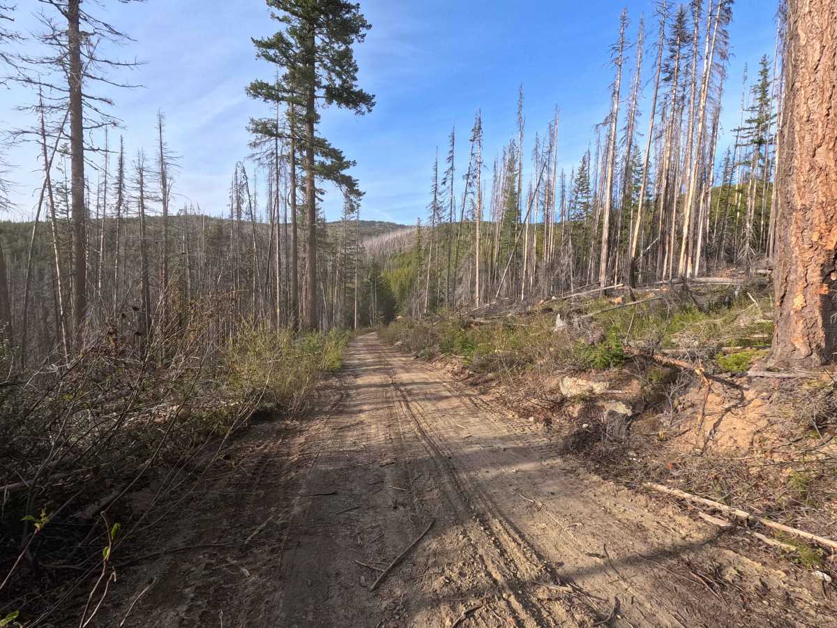
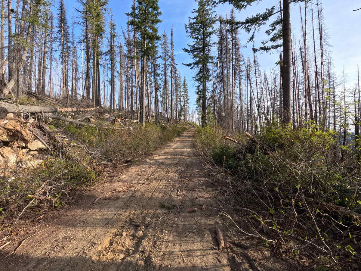
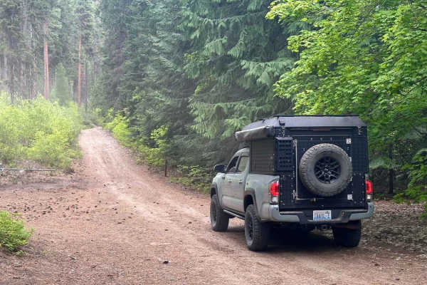
Trail Overview
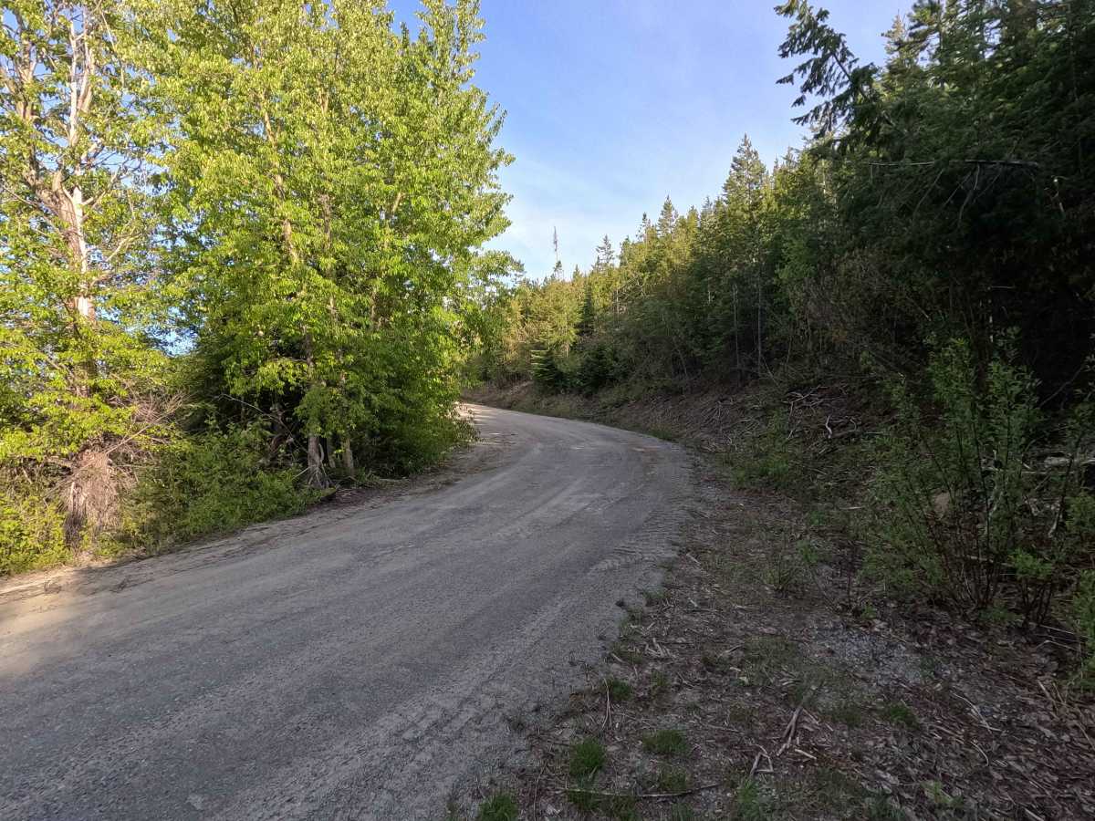
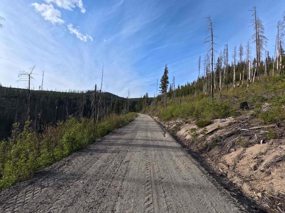
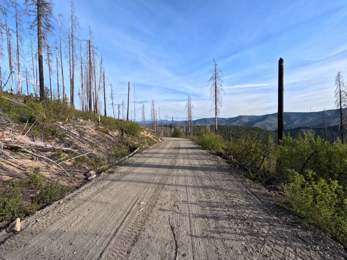
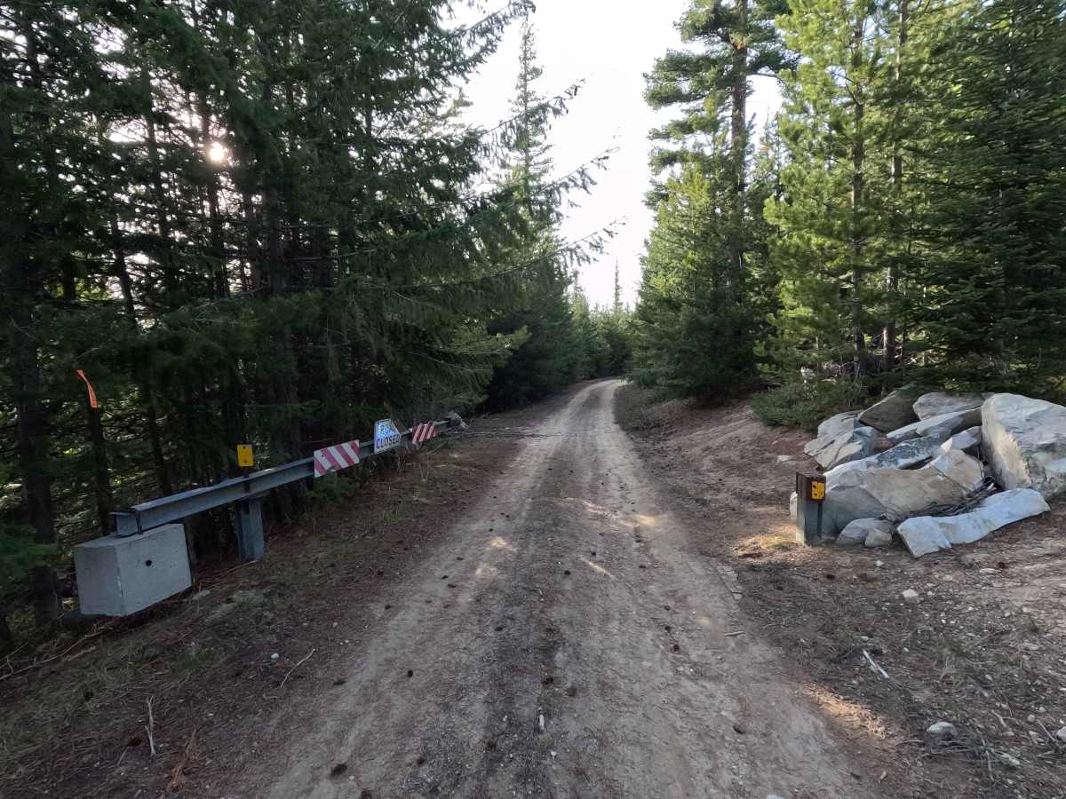
Tyee Ridge Road is a 2.9-mile out-and-back segment that begins where the route transitions to gravel 12.2 miles up from the road's start. The road starts as a wide, well-maintained gravel surface, generally smooth and dusty, passing through a recently burned area. After a gate near the Mad River Trail intersection, the route narrows and becomes more overgrown, with brush encroaching along the roadway. Beyond this point, the road continues but is blocked by heavy blowdown and vegetation, marking the end of the drivable route.
Difficulty
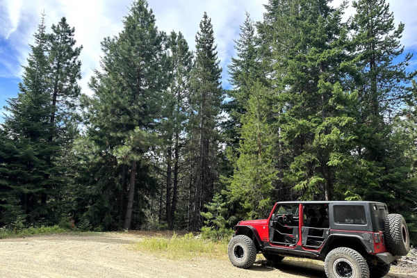
Tyee Ridge Road is suitable for most 2WD and low-clearance vehicles in the beginning sections, as the gravel surface is generally smooth and well-maintained. The primary challenges occur beyond the gate, where the road narrows and brush encroaches, potentially contacting vehicles. The route is not technically difficult but is ultimately blocked by heavy blowdown and vegetation, preventing further travel. Weather conditions, such as rain, can increase difficulty, particularly when the surface becomes slick. As with most trails in the area, bringing a chainsaw or equipment to clear fallen trees is recommended.