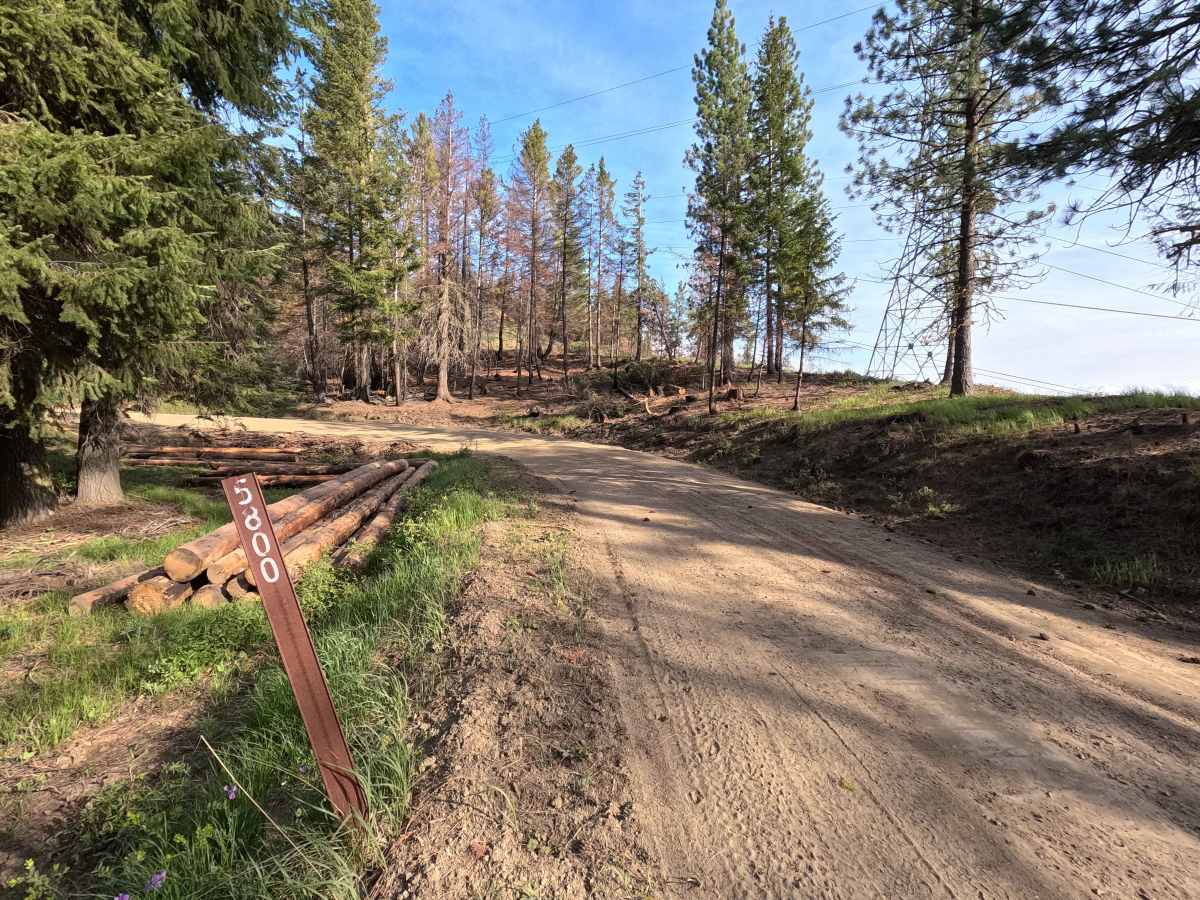
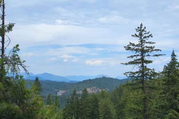
Trail Overview
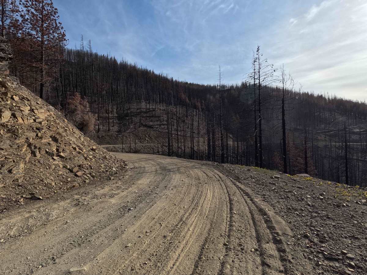
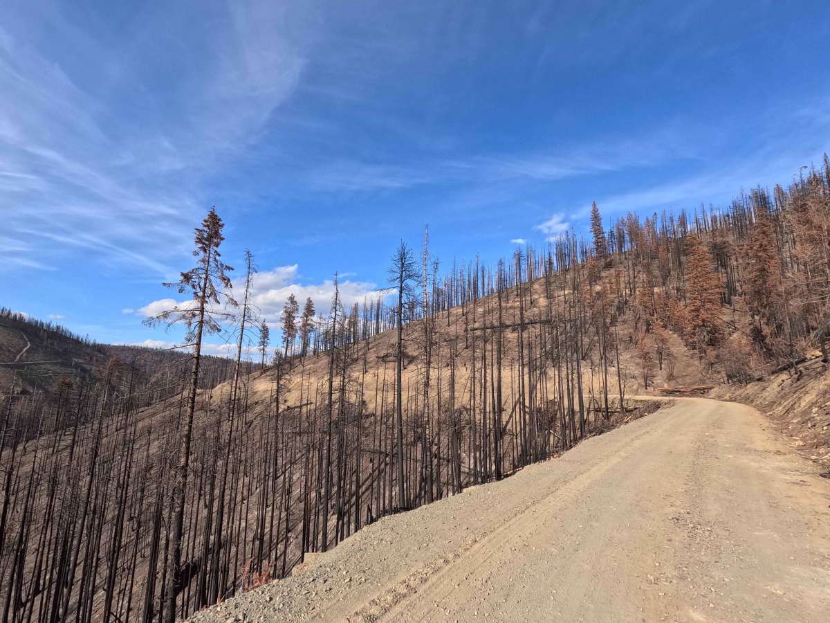
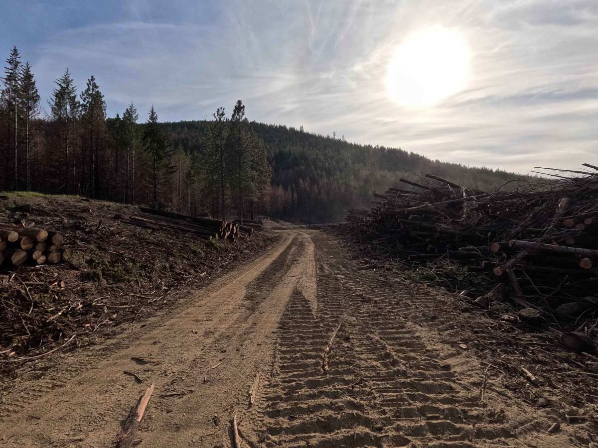
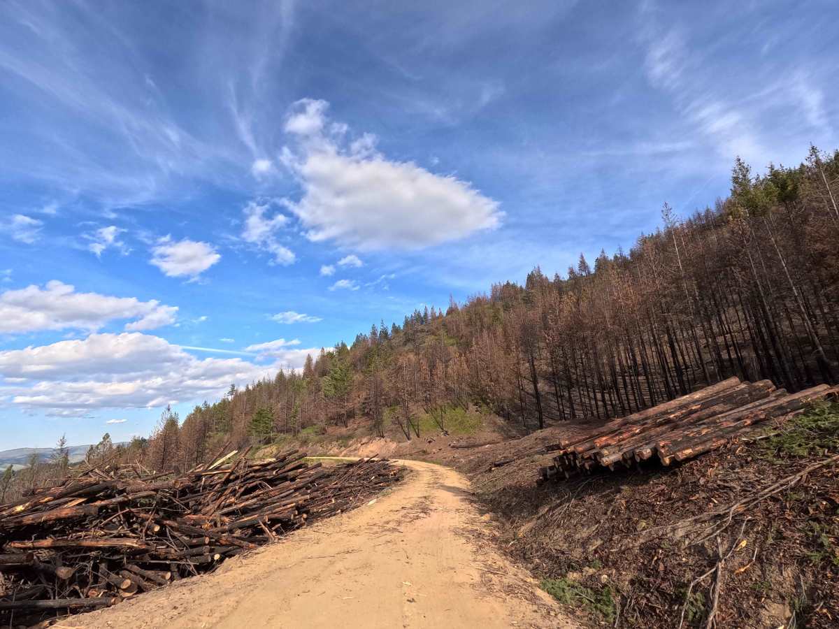
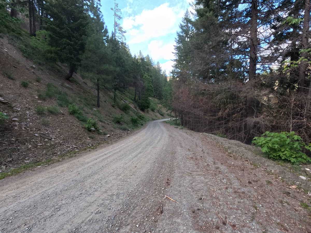
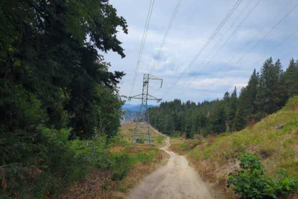
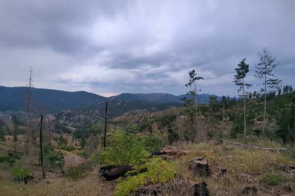
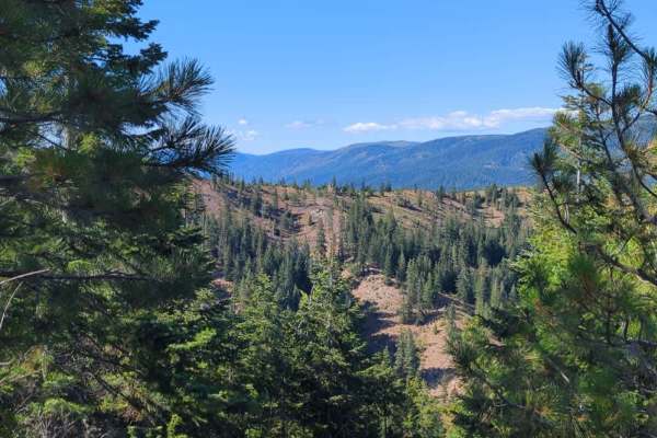
Tillicum Road is an 8.9-mile point-to-point route that follows a wide, smooth, and well-maintained dirt road. The route descends into a canyon along Tillicum Creek and passes through a recently burned area. Logging operations are currently active, so users should be aware of equipment and truck traffic. The road is generally fast and dusty, winding along the canyon wall. “Tillicum” is a Chinook Jargon term meaning people, family, or tribe. While no current Motor Vehicle Use Map (MVUM) information is available for this area, mapping sources such as Google indicate the route may be seasonally closed from December through April. Users should verify conditions before traveling.
Difficulty
Tillicum Road is suitable for most 2WD and low-clearance vehicles, as the road is generally wide, smooth, and well-maintained. The primary challenges are situational, including dusty conditions, winding sections, and active logging operations with potential truck traffic. Weather conditions, such as rain, can increase difficulty, particularly when the surface becomes slick. As with most trails in the area, bringing a chainsaw or equipment to clear fallen trees is recommended.