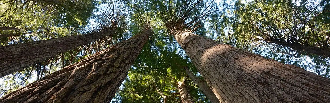
Dirt Bike Trails
Near Caribou, California
Explore All Dirt Bike Trails Near Caribou, California
Dirt Bike Trails Near Caribou, California
Discover the best dirt bike trails near you. Browse trail maps, check difficulty ratings, and find your next adventure — whether you're looking for a quick ride or an all-day expedition.
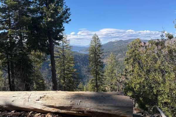
Redhill Almanor - FS 26N22
Redhill Almanor (FS 26N22) is a long, well-maintained gravel through-route linking Seneca Road on the mountainside south of Lake Almanor with State Route 70 in the North Fork Feather River country. A signed junction along the way points toward Highway 70 in one direction and Highway 89 and Canyondam...
Learn more about Redhill Almanor - FS 26N22
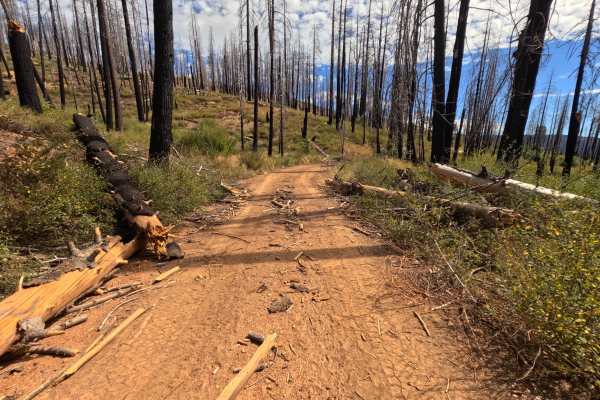
Grizzly Mines - FS 26N23A
Grizzly Mines (FS 26N23A) is a short out-and-back dirt spur off the FS 26N23 road system southwest of Lake Almanor, heading out toward the old Grizzly Mine area. Much of the route runs through country burned in the 2021 Dixie Fire, where dense stands of blackened snags rise above a bright, regrowing...
Learn more about Grizzly Mines - FS 26N23A
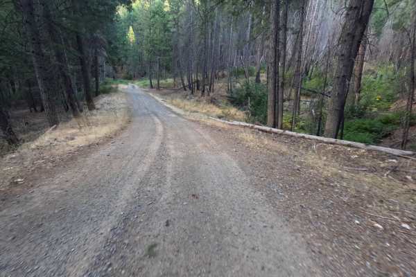
Virgilia Gopher Hill - FS 25N20
Virgilia Gopher Hill (FS 25N20) leaves State Route 70 in the Feather River canyon near Virgilia, beginning at a railroad crossing just off the highway, so slow down and watch for trains at the start. From there, the road climbs steadily into the Plumas National Forest as a long out-and-back route of...
Learn more about Virgilia Gopher Hill - FS 25N20
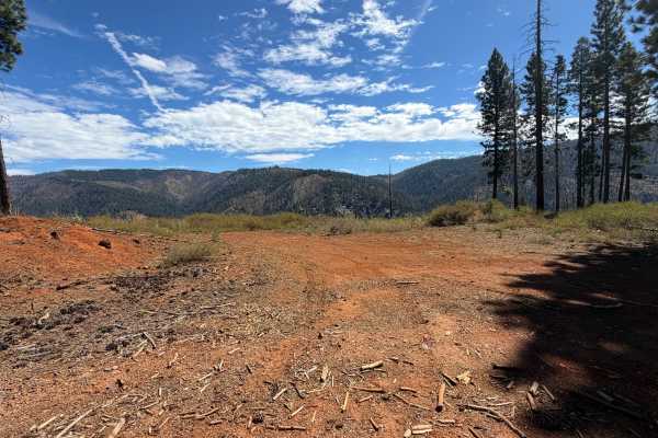
Dutch Hill - FS 26N23
Dutch Hill (FS 26N23) is a wide, well-graded connector southwest of Lake Almanor, linking the open saddle on the Ohio Creek road (FS 27N98) with Seneca Road and serving as the main stem for the Grizzly Mines (FS 26N23A) and Ohio Creek Spur (FS 26N23B) routes. The drive weaves in and out of country b...
Learn more about Dutch Hill - FS 26N23
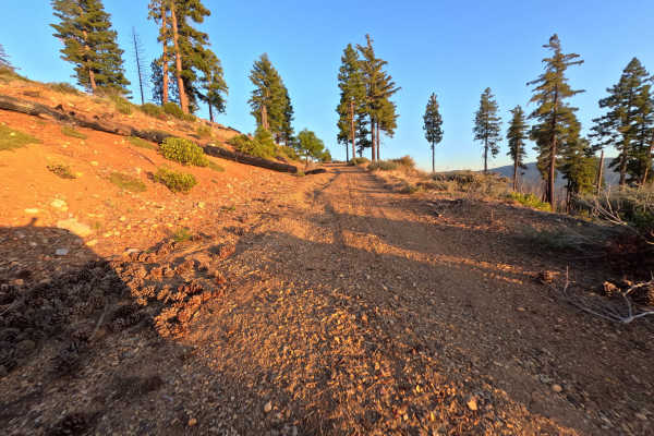
Ohio Creek Spur - FS 27N98B
Ohio Creek Spur (FS 27N98B) branches off the open gravel saddle on the Ohio Creek road (FS 27N98) in the Lassen National Forest and climbs gently as a short out-and-back dirt spur. The route crosses open slopes still recovering from the 2021 Dixie Fire, where weathered snags stand above dense manzan...
Learn more about Ohio Creek Spur - FS 27N98B
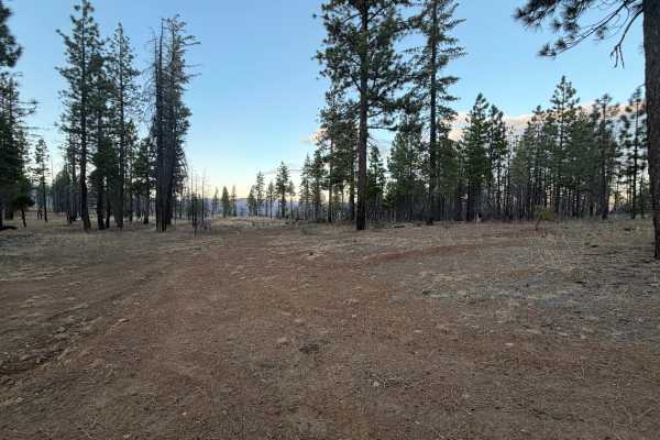
Spanish Cabin - FS 25N57
Spanish Cabin (FS 25N57) is a dirt ridge road that links a broad saddle intersection with a cluster of spur roads at its far end, in the Dixie Fire country south of Lake Almanor. The route follows the crest through a patchwork of fire-scarred pine, where blackened snags stand among surviving green t...
Learn more about Spanish Cabin - FS 25N57
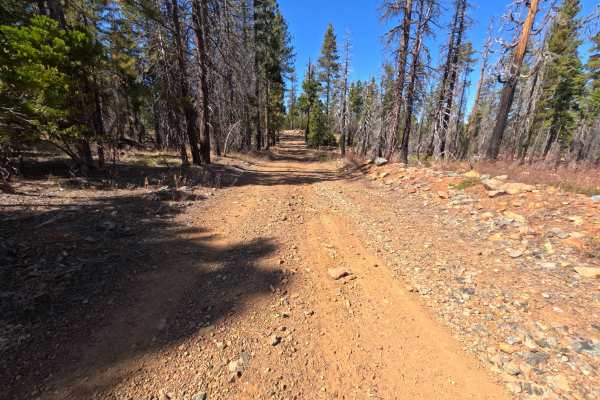
Rattlesnake Ridge - FS 25N59
Rattlesnake Ridge (FS 25N59) begins at a saddle intersection in the Plumas National Forest and climbs gently for roughly 2.6 miles as an out-and-back dirt route heading toward the Silver Lake area. The first stretch is a wide road covered in loose, rocky gravel, winding through a mix of surviving gr...
Learn more about Rattlesnake Ridge - FS 25N59
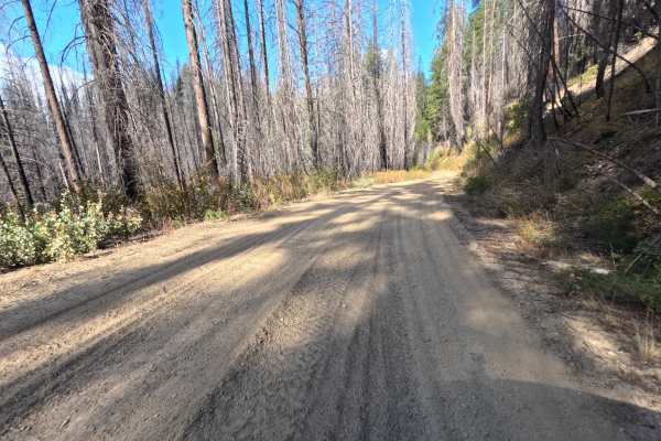
Rush Hill Motor Way - FS 27N17
Rush Hill Motor Way (FS 27N17) begins at the Rush Hill road (FS 25N21) in the Plumas National Forest and runs roughly 6.1 miles as a long out-and-back drive through the Feather River high country. Much of the route crosses a vast burn scar left by the 2021 Dixie Fire, where thousands of silver and b...
Learn more about Rush Hill Motor Way - FS 27N17
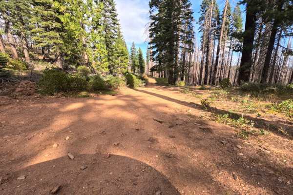
Dark Fork - FS 26N15Y
Branching away from the main ridgeline, Dark Fork (FS 26N15Y) operates as a brief, single-track dirt connector ultimately linking down to Fox Road. The pathway gradually descends through a highly exposed, heavily fire-scarred section of the Plumas National Forest that is actively recovering from the...
Learn more about Dark Fork - FS 26N15Y
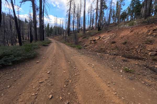
Ohio Tie - FS 27N27Y
Ohio Tie (FS 27N27Y) is a short dirt connector in the Lassen National Forest west of Lake Almanor, linking the Ohio road (FS 27N28Y) with the Upper Ohio road (FS 27N28YB) along the ridge. It makes a handy shortcut between the two, letting drivers move between the main Ohio route and the Upper Ohio l...
Learn more about Ohio Tie - FS 27N27Y
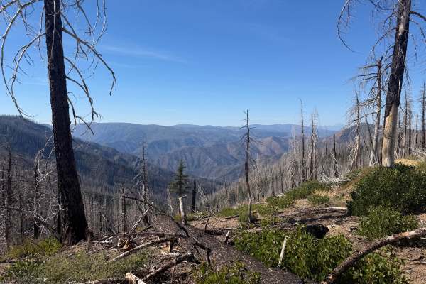
Mathis - FS 25N80
Mathis (FS 25N80) branches off Rattlesnake Ridge Road (FS 25N59) in the Plumas National Forest and winds around the slopes above Spanish Creek as an out-and-back dirt route. It starts briefly in a burn scar, then alternates between pockets of surviving green forest and open, fire-scarred hillsides w...
Learn more about Mathis - FS 25N80
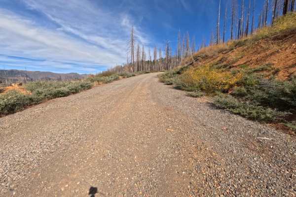
Rush Hill - FS 27N38
Originating from the large paved intersection at Seneca Road, Rush Hill (FS 27N38) operates as a lengthy, out-and-back mountain spur within the Plumas National Forest. The route steadily climbs up to a prominent ridgeline, weaving in and out of a stark, recovering landscape severely impacted by the ...
Learn more about Rush Hill - FS 27N38
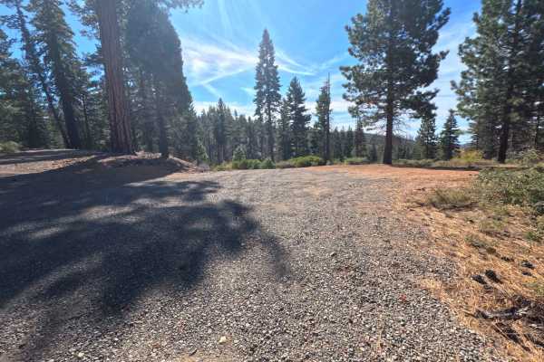
Rattlesnake Hill - FS 26N17Y
Branching directly off Rush Hill Road, Rattlesnake Hill (FS 26N17Y) serves as a lengthy, out-and-back single-track dirt spur navigating toward an intersection of abandoned logging paths. The pathway winds its way around the contours of Rattlesnake Hill before pushing deeper into the recovering lands...
Learn more about Rattlesnake Hill - FS 26N17Y
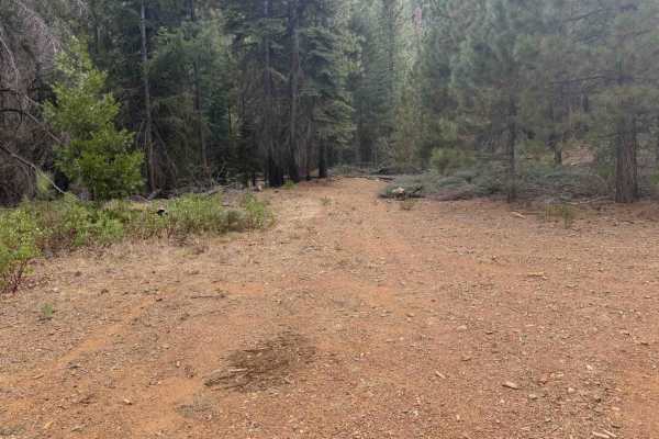
South Almanor - FS 27N97
South Almanor (FS 27N97) is a short connector in the Lassen National Forest that links the Upper Ohio Road (FS 27N28YB) on the ridge above with Fox Farm Road on the lower slopes west of Lake Almanor, joining Fox Farm Road at two short outlets near its lower end. The route covers a steep change in el...
Learn more about South Almanor - FS 27N97
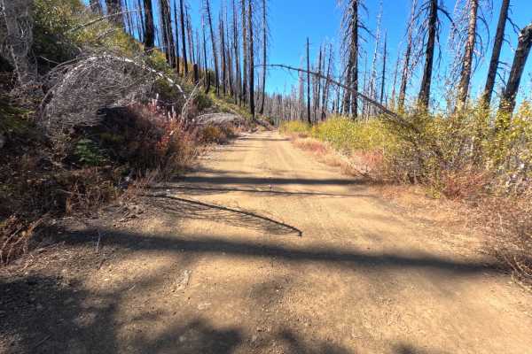
Meadow Valley Spur C - FS 24N30C
Meadow Valley Spur C (FS 24N30C) branches off the Meadow Valley road (FS 24N30) in the Plumas National Forest and follows a high ridge for roughly 1.7 miles as an out-and-back dirt spur, passing several side roads along the way. Much of the route crosses a sweeping burn scar, where tall silver and b...
Learn more about Meadow Valley Spur C - FS 24N30C
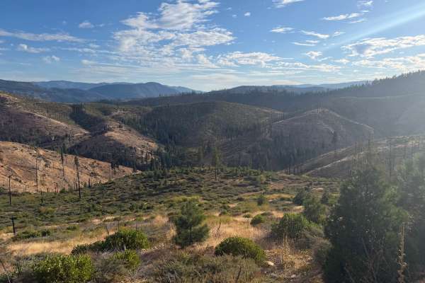
Ohio - FS 27N28Y
Ohio (FS 27N28Y) is a wide, hard-packed dirt road in the Lassen National Forest west of Lake Almanor, running as an out-and-back route that ends on a high point above Ohio Creek. The road also serves as the main stem for the Upper Ohio loop (FS 27N28YB). Much of the drive crosses country recovering ...
Learn more about Ohio - FS 27N28Y
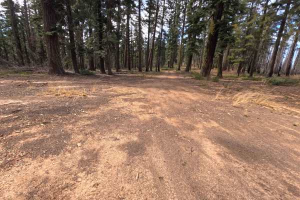
Rush Hill Spur A - FS 27N38A
Branching directly off Rush Hill Road, Rush Hill Spur A (FS 27N38A) serves as a brief, highly scenic out-and-back dirt trail navigating along a prominent mountain ridgeline within the Plumas National Forest. The route transitions from a healthy, unburned evergreen canopy into a stark environment rec...
Learn more about Rush Hill Spur A - FS 27N38A
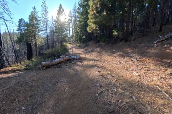
Burton Ridge - FS 24N18Y
Burton Ridge (FS 24N18Y) branches off Meadow Valley Road (FS 24N30) at a small brown post marked 24N18Y in the Plumas National Forest, running roughly 1.3 miles out along a quiet ridge as an out-and-back dirt spur. The route is generally flat and lightly traveled, passing through a mix of tall green...
Learn more about Burton Ridge - FS 24N18Y
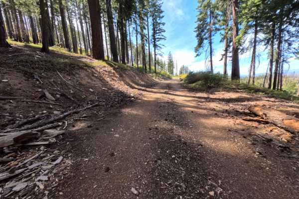
Kirkham - FS 26N16Y
Branching away from Rush Hill Road, Kirkham (FS 26N16Y) serves as an exceptionally scenic, point-to-point connector that sweeps along the opposing flank of the mountain within the Plumas National Forest. The route offers a dynamic visual journey, initially passing through dense, unburned timber befo...
Learn more about Kirkham - FS 26N16Y
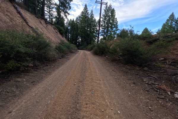
Overlook - FS 27N97
Functioning as a short but highly useful connecting spur, Overlook (FS 27N97) begins at a remarkably large, open staging area capable of accommodating numerous overland setups before continuing toward the elevated terrain above Rocky Point. The route meanders through a beautifully shaded, unburned s...
Learn more about Overlook - FS 27N97
ATV trails near Caribou, California
Explore ATV-friendly trails near you. These trails are accessible for vehicles up to 50 inches wide, perfect for ATVs and smaller off-road machines.
Redhill Almanor - FS 26N22
Redhill Almanor (FS 26N22) is a long, well-maintained gravel through-route linking Seneca Road on the mountainside south of Lake Almanor with State Route 70 in the North Fork Feather River country. A signed junction along the way points toward Highway 70 in one direction and Highway 89 and Canyondam...
Learn more about Redhill Almanor - FS 26N22
Grizzly Mines - FS 26N23A
Grizzly Mines (FS 26N23A) is a short out-and-back dirt spur off the FS 26N23 road system southwest of Lake Almanor, heading out toward the old Grizzly Mine area. Much of the route runs through country burned in the 2021 Dixie Fire, where dense stands of blackened snags rise above a bright, regrowing...
Learn more about Grizzly Mines - FS 26N23A
Virgilia Gopher Hill - FS 25N20
Virgilia Gopher Hill (FS 25N20) leaves State Route 70 in the Feather River canyon near Virgilia, beginning at a railroad crossing just off the highway, so slow down and watch for trains at the start. From there, the road climbs steadily into the Plumas National Forest as a long out-and-back route of...
Learn more about Virgilia Gopher Hill - FS 25N20
Dutch Hill - FS 26N23
Dutch Hill (FS 26N23) is a wide, well-graded connector southwest of Lake Almanor, linking the open saddle on the Ohio Creek road (FS 27N98) with Seneca Road and serving as the main stem for the Grizzly Mines (FS 26N23A) and Ohio Creek Spur (FS 26N23B) routes. The drive weaves in and out of country b...
Learn more about Dutch Hill - FS 26N23
UTV/side-by-side trails near Caribou, California
Find UTV and side-by-side trails near you. These trails accommodate vehicles up to 60 inches wide, ideal for UTVs, side-by-sides, and wider off-road rigs.
Redhill Almanor - FS 26N22
Redhill Almanor (FS 26N22) is a long, well-maintained gravel through-route linking Seneca Road on the mountainside south of Lake Almanor with State Route 70 in the North Fork Feather River country. A signed junction along the way points toward Highway 70 in one direction and Highway 89 and Canyondam...
Learn more about Redhill Almanor - FS 26N22
Grizzly Mines - FS 26N23A
Grizzly Mines (FS 26N23A) is a short out-and-back dirt spur off the FS 26N23 road system southwest of Lake Almanor, heading out toward the old Grizzly Mine area. Much of the route runs through country burned in the 2021 Dixie Fire, where dense stands of blackened snags rise above a bright, regrowing...
Learn more about Grizzly Mines - FS 26N23A
Virgilia Gopher Hill - FS 25N20
Virgilia Gopher Hill (FS 25N20) leaves State Route 70 in the Feather River canyon near Virgilia, beginning at a railroad crossing just off the highway, so slow down and watch for trains at the start. From there, the road climbs steadily into the Plumas National Forest as a long out-and-back route of...
Learn more about Virgilia Gopher Hill - FS 25N20
Dutch Hill - FS 26N23
Dutch Hill (FS 26N23) is a wide, well-graded connector southwest of Lake Almanor, linking the open saddle on the Ohio Creek road (FS 27N98) with Seneca Road and serving as the main stem for the Grizzly Mines (FS 26N23A) and Ohio Creek Spur (FS 26N23B) routes. The drive weaves in and out of country b...
Learn more about Dutch Hill - FS 26N23
The onX Offroad Difference
onX Offroad combines trail photos, descriptions, difficulty ratings, width restrictions, seasonality, and more in a user-friendly interface. Available on all devices, with offline access and full compatibility with CarPlay and Android Auto. Discover what you're missing today!
Open Trail Map