Trail Overview
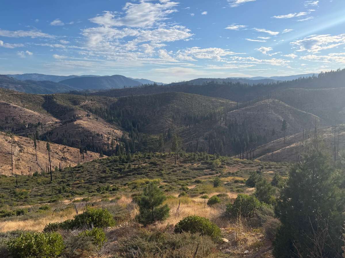
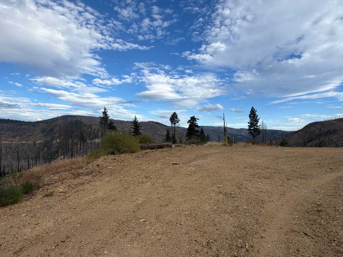
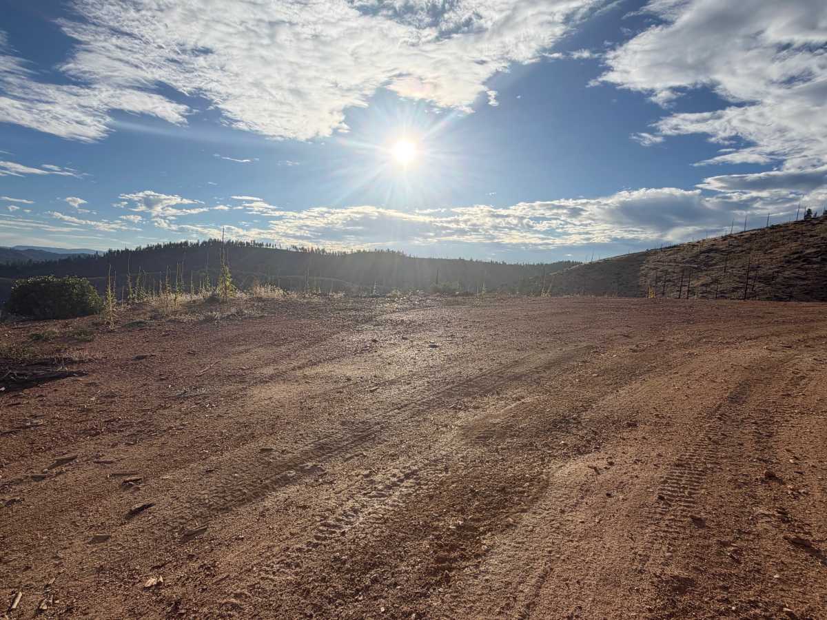
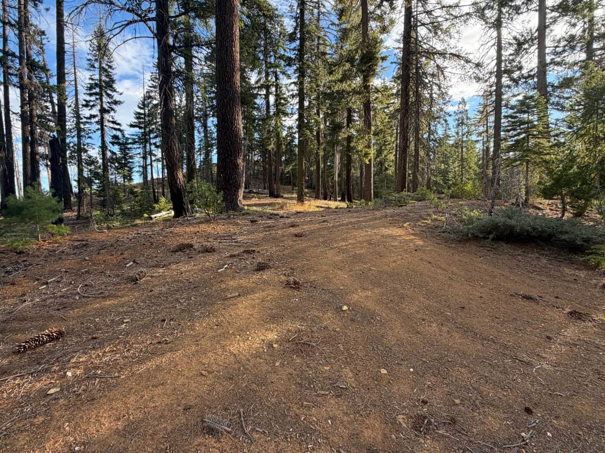
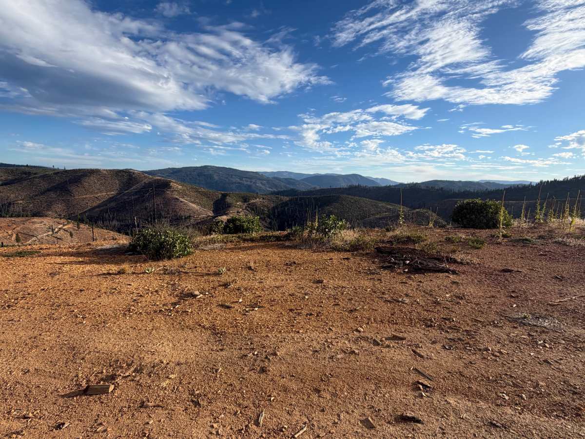
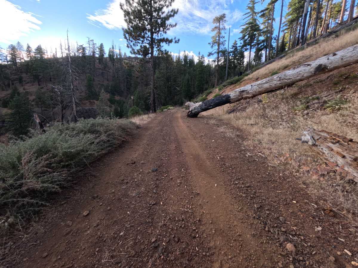
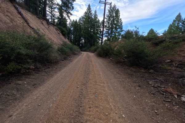
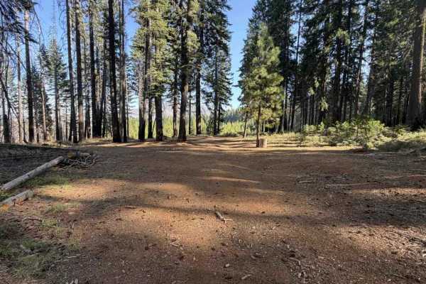
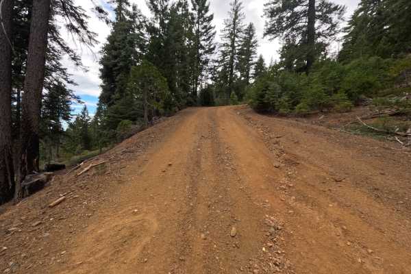
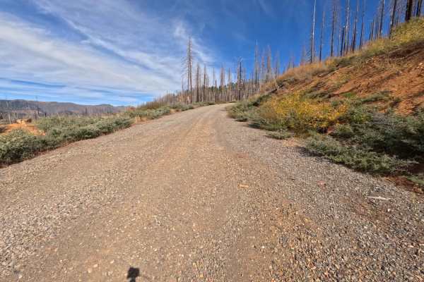
Ohio (FS 27N28Y) is a wide, hard-packed dirt road in the Lassen National Forest west of Lake Almanor, running as an out-and-back route that ends on a high point above Ohio Creek. The road also serves as the main stem for the Upper Ohio loop (FS 27N28YB). Much of the drive crosses country recovering from the 2021 Dixie Fire, where stands of blackened snags rise above golden grass, manzanita, and young pines, while other stretches pass through pockets of surviving green forest. The route climbs gently along open hillsides with sweeping views across layered ridges and the green valley below. Several dispersed campsites sit along the way, ranging from single-vehicle spots on scenic bends to a larger site with room for one or two vehicles and a short footpath to a nearby hilltop. The surface is firm red dirt with scattered loose stones, and it is wide enough for comfortable travel. Summer and fall offer the best conditions.
Difficulty
Rated a 2 for a long, steady climb on dirt scattered with loose stones, along with fallen bark, branches, and small debris that collect on the tread through the burned sections. The surface is otherwise firm and well packed, with gentle grades and plenty of width. There are no ruts, ledges, rock obstacles, or water crossings, which keeps the rating from going higher. Moderate ground clearance is enough for the full length.