Trail Overview
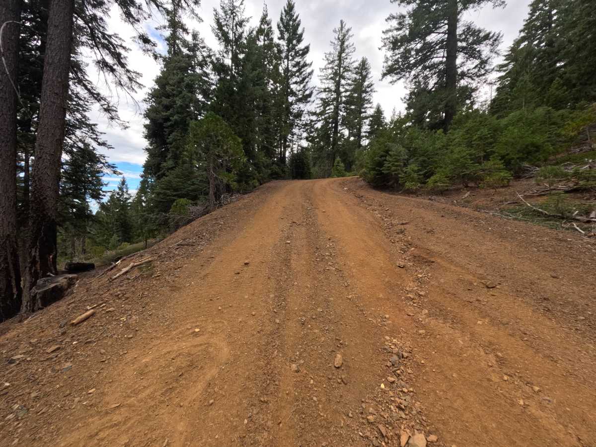
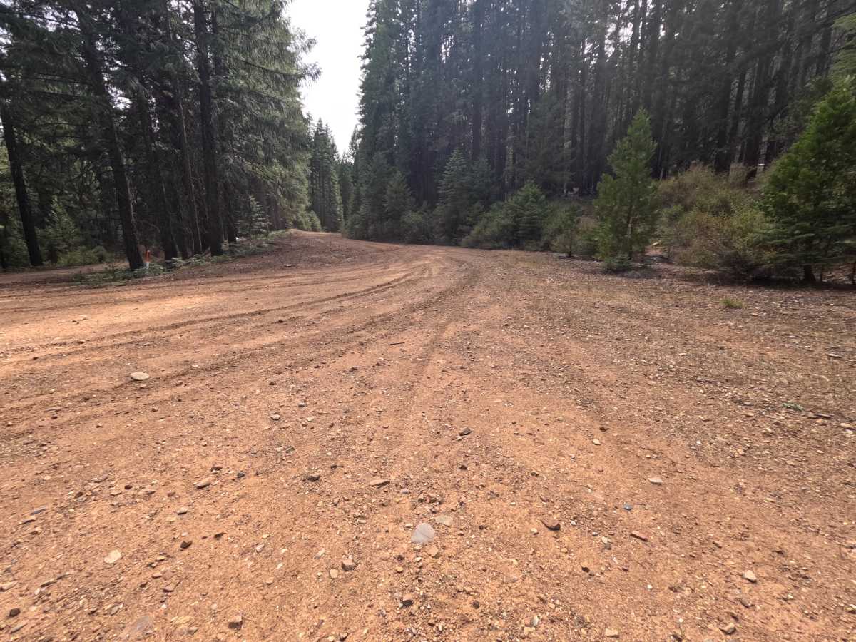
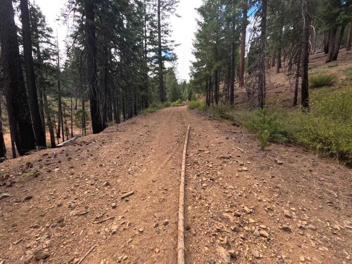
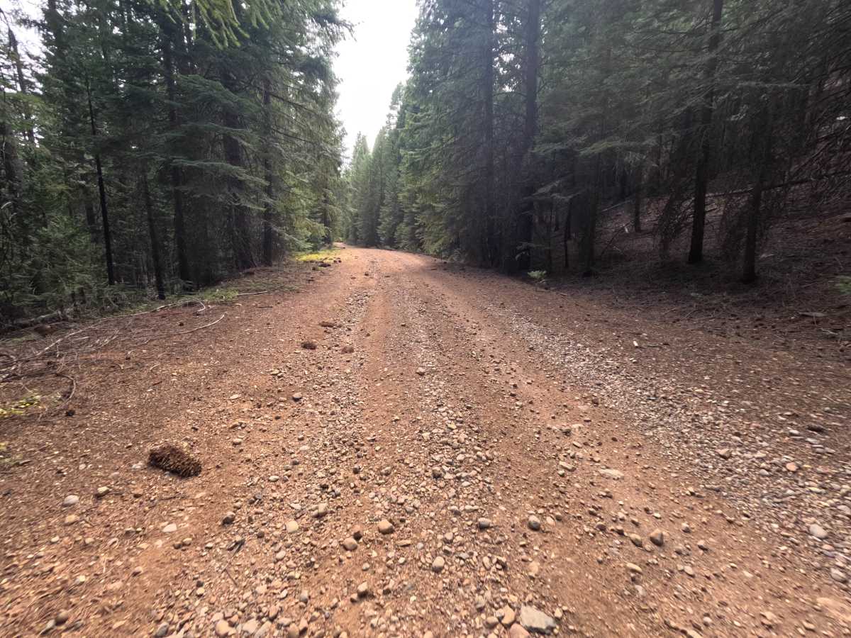
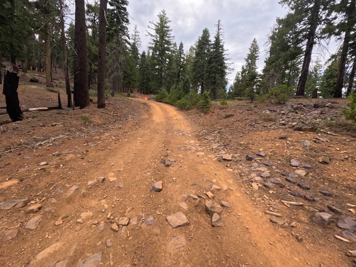
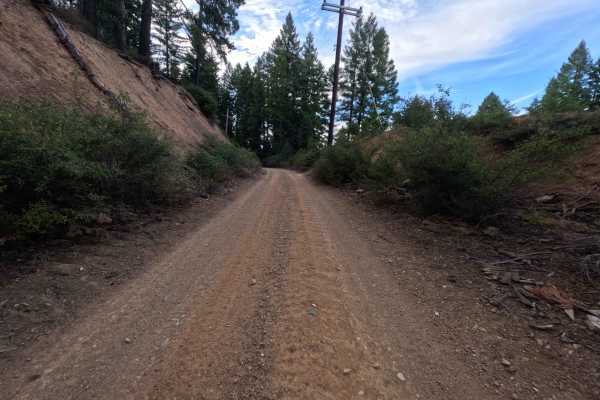
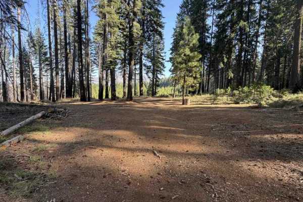
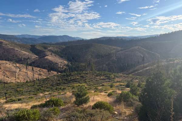
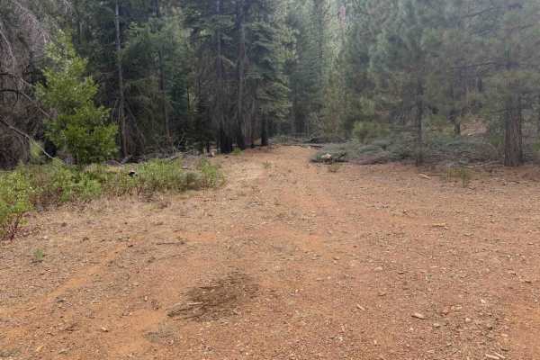
Upper Ohio (FS 27N28YB) is a lollipop loop on the high ridge west of Lake Almanor in the Lassen National Forest, branching off a network of nearby spurs and climbing to a long, open ridgeline before circling back on itself. Much of this country is still recovering from the 2021 Dixie Fire, and the route moves between pockets of surviving pine and fir and wide slopes of blackened snags, golden grass, and fresh manzanita and young pines. As the road wraps around the hillside, the forest opens to sweeping views of Lake Almanor and its wooded peninsula below, with Lassen Peak and a long chain of volcanic summits on the northern horizon. Farther along, broad vistas reach southwest across layered mountains and valleys. A hiking trail crosses the route near one of the overlooks, so watch for people on foot, and a single dispersed campsite sits just inside the trees. The surface is a firm, hard-packed red dirt road, generally wide enough for comfortable travel. Summer and fall offer the best conditions.
Difficulty
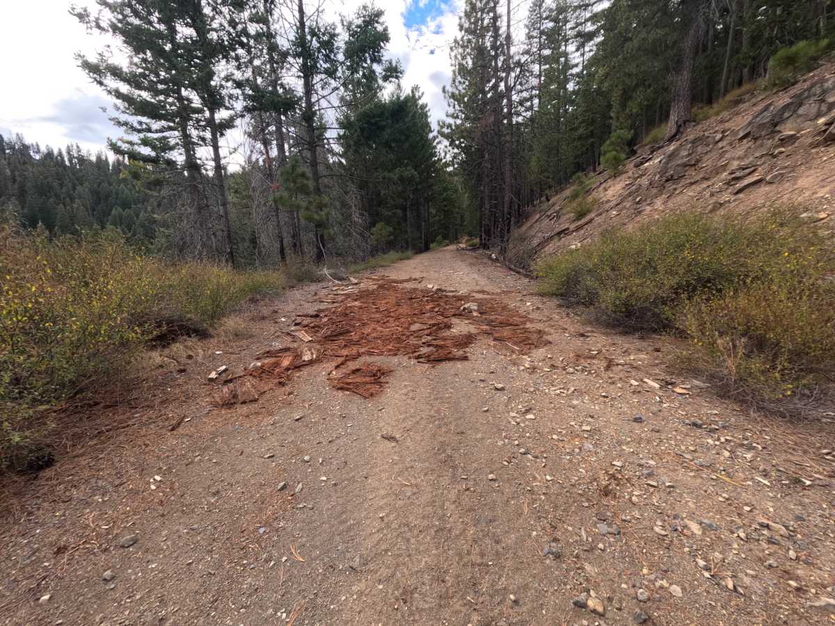
Rated a 2 for one rocky dip on a bend that calls for a slow approach, along with loose stones and shallow tire grooves scattered across the hard-packed dirt. Fallen bark and small branches occasionally litter the tread through the burned stretches. The road is otherwise firm and wide with moderate grades, and there are no ledges, deep ruts, or water crossings, which keeps the rating from going higher. Moderate ground clearance is enough for the full loop.

 Offroad