Trail Overview
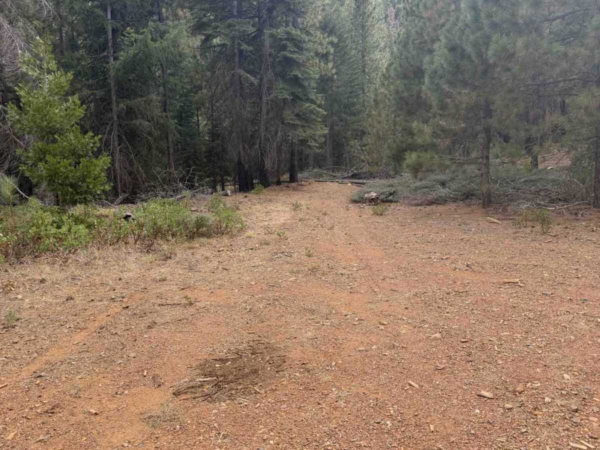
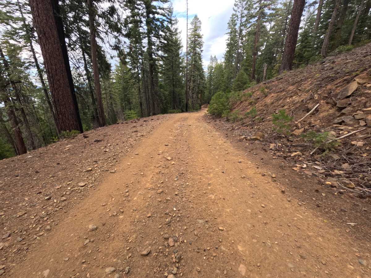
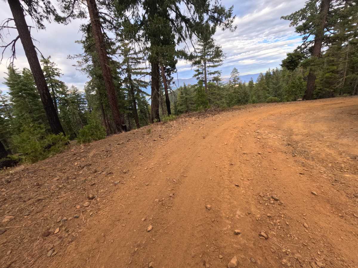
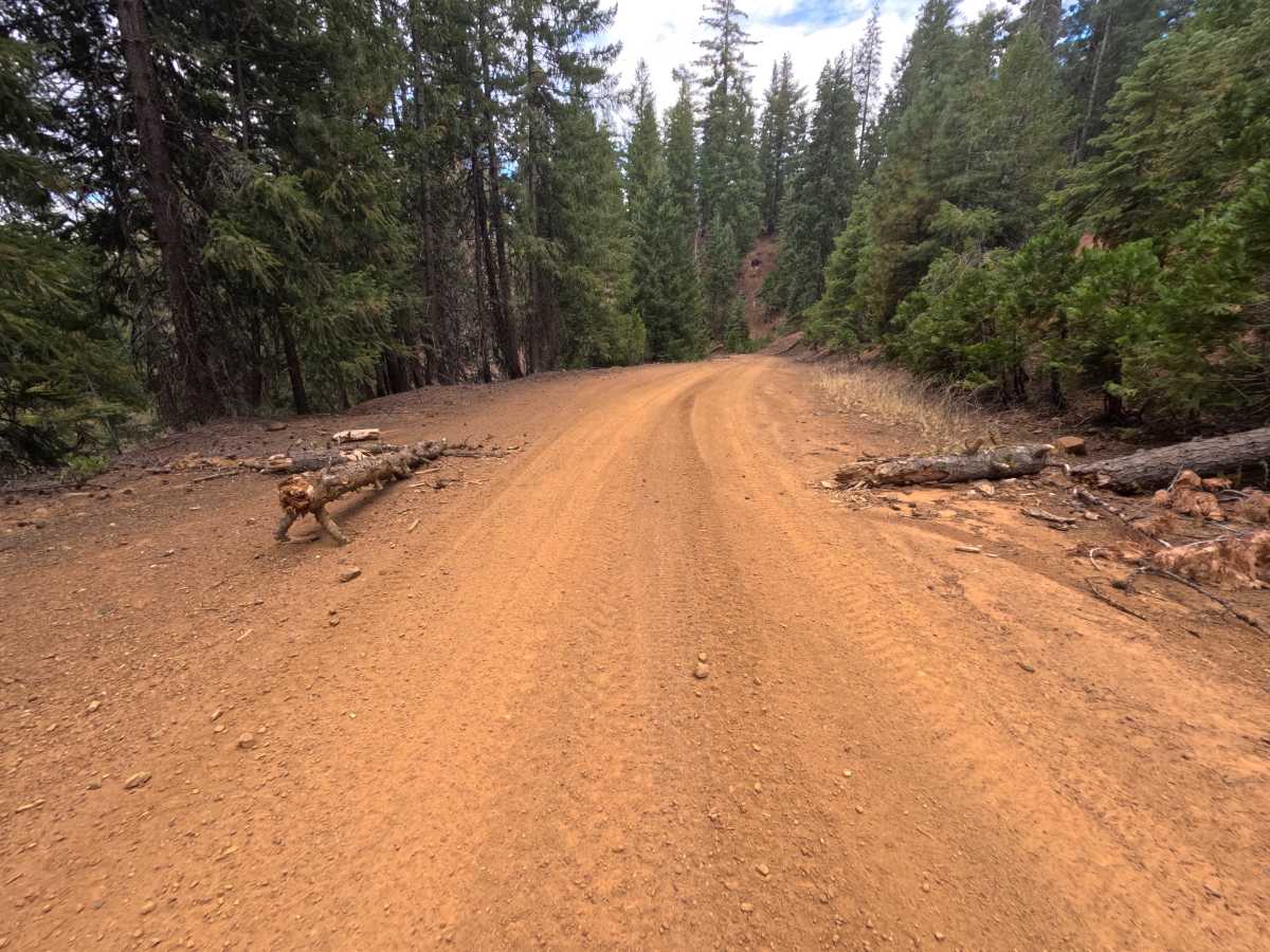
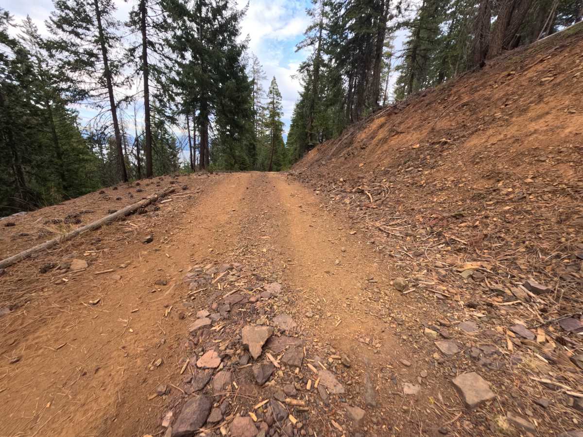
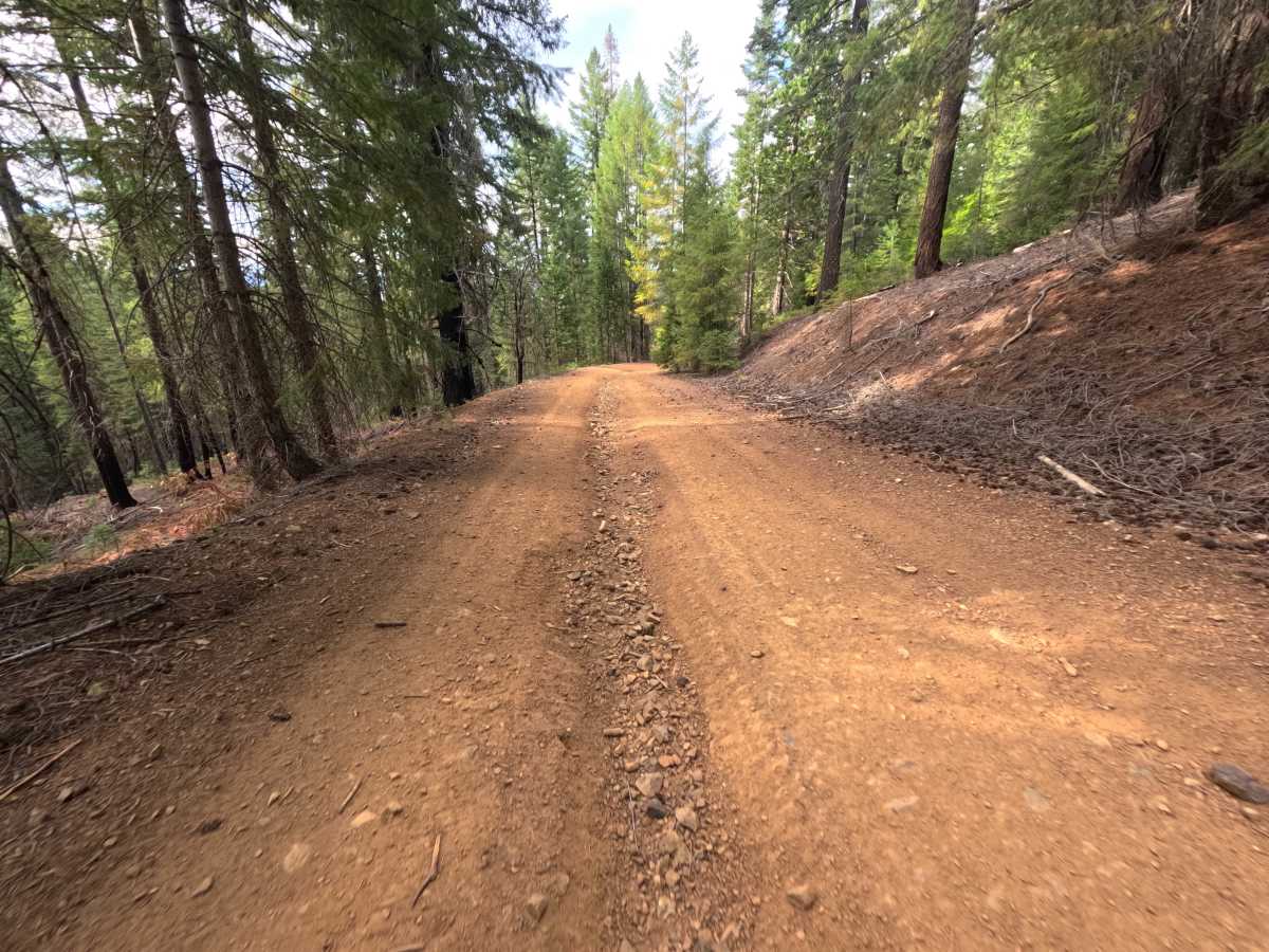
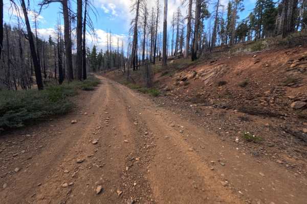
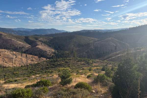
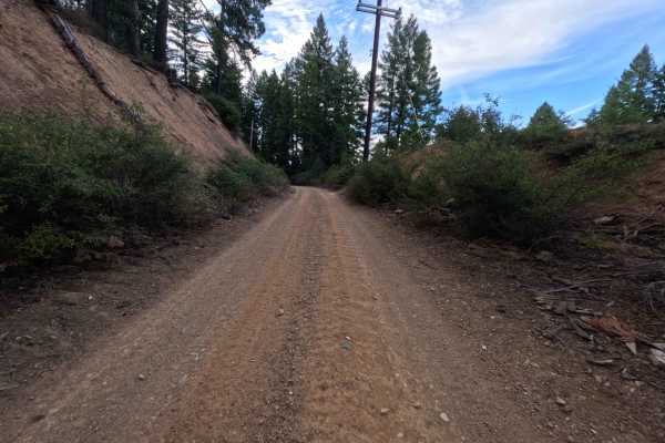
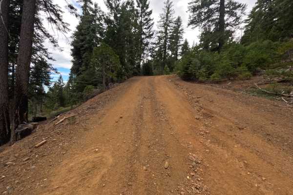
South Almanor (FS 27N97) is a short connector in the Lassen National Forest that links the Upper Ohio Road (FS 27N28YB) on the ridge above with Fox Farm Road on the lower slopes west of Lake Almanor, joining Fox Farm Road at two short outlets near its lower end. The route covers a steep change in elevation over a short distance, winding through a tall, mature forest of pine and fir with a few fire-scarred trunks left from past burns. Openings along the upper stretch give glimpses of the lake and the mountains beyond through the trees. The surface is a firm red dirt road scattered with loose rock, wide enough for a single vehicle, with cut banks rising on the uphill side. A small pullout along the way serves as a dispersed campsite with room for one or two vehicles. There are no overlooks or developed sites. Summer and fall offer the best conditions.
Difficulty
Rated a 2 for a steep grade with several decent-sized ruts on the lower section that are best straddled, keeping one set of tires on each side. A raised ridge of loose rock runs between the wheel paths in places, and patches of broken stone shed from the cut banks onto the tread. The dirt base stays firm, and there are no ledges, boulder fields, or water crossings, which keeps the rating from going higher. Moderate ground clearance is enough.