Trail Overview
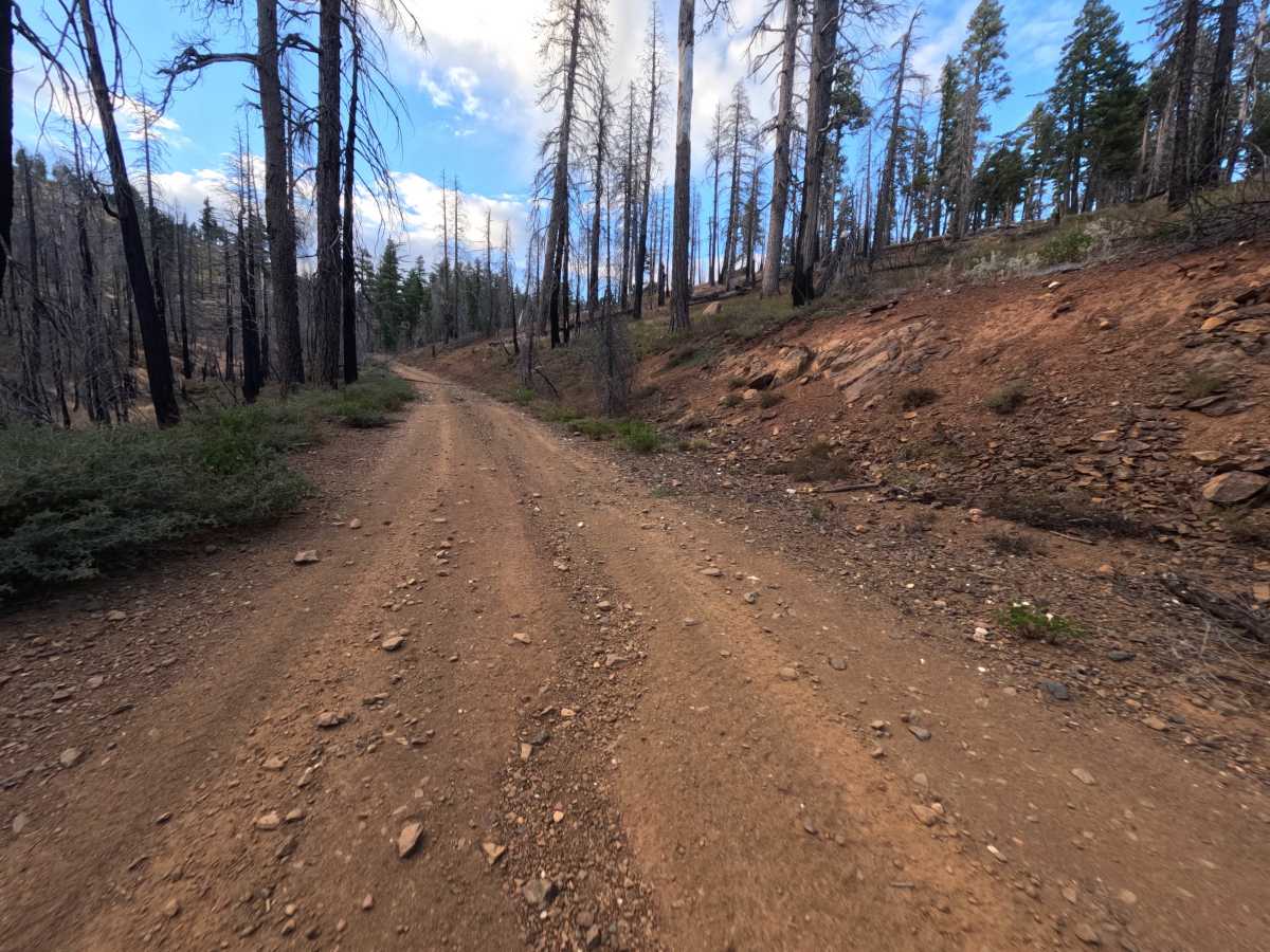
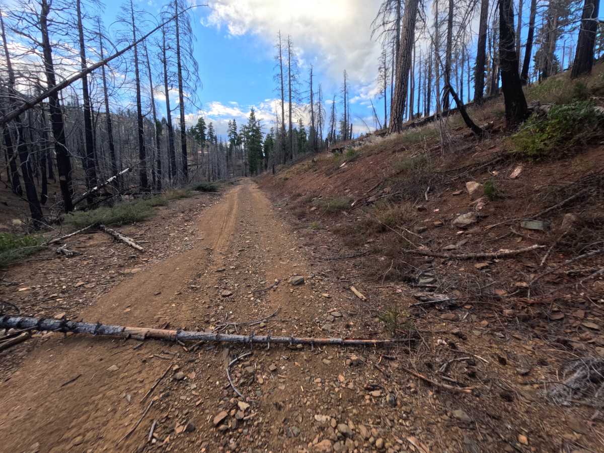
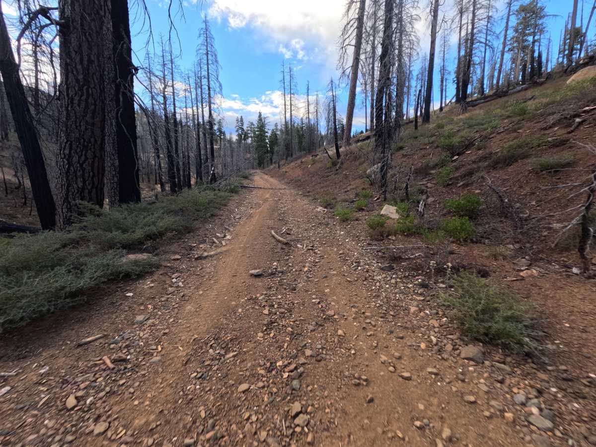
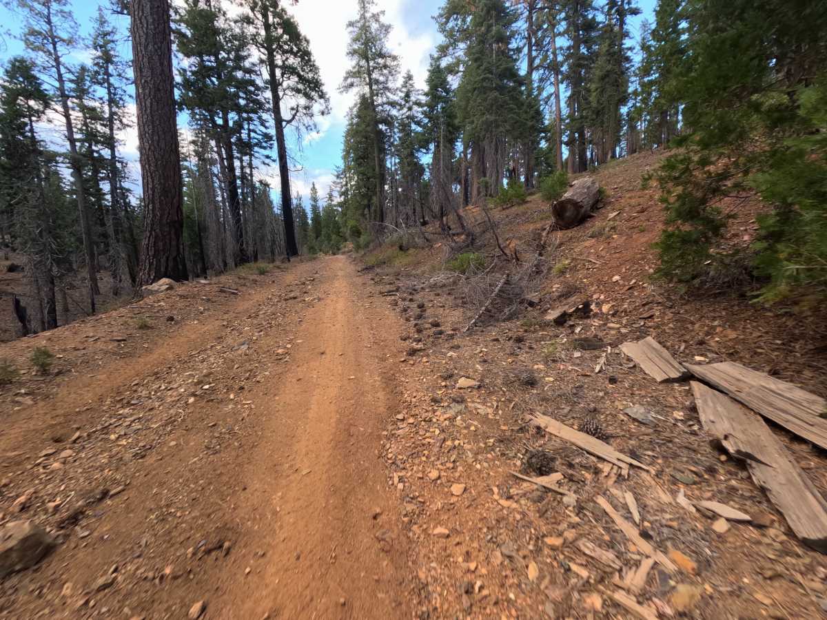
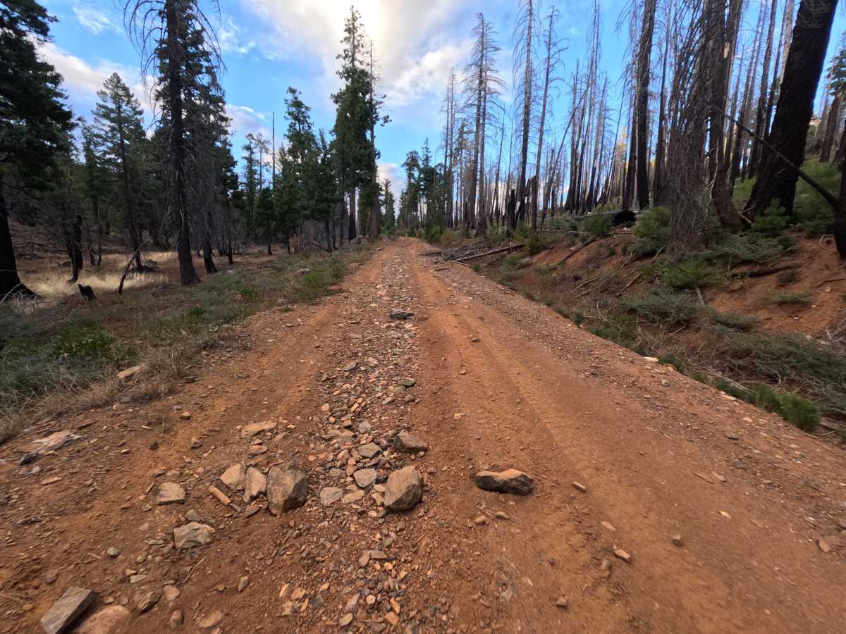
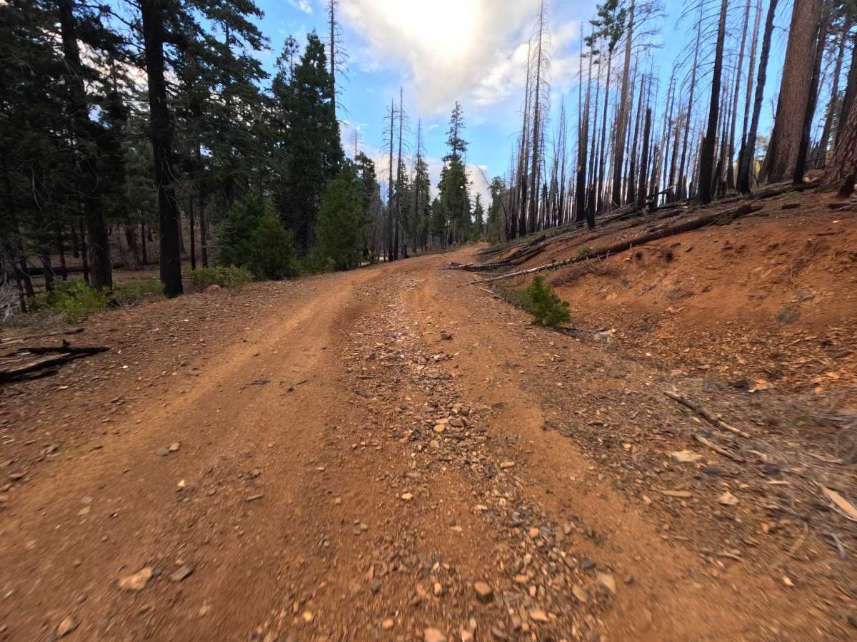
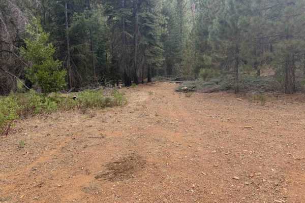
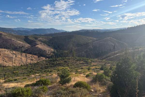
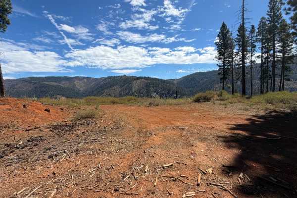
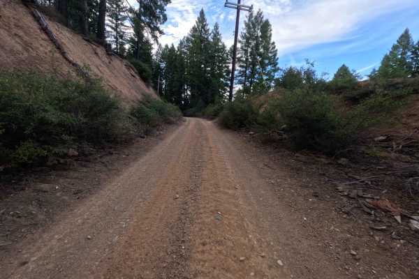
Ohio Tie (FS 27N27Y) is a short dirt connector in the Lassen National Forest west of Lake Almanor, linking the Ohio road (FS 27N28Y) with the Upper Ohio road (FS 27N28YB) along the ridge. It makes a handy shortcut between the two, letting drivers move between the main Ohio route and the Upper Ohio loop without backtracking. The route crosses a mix of fire-scarred slopes left by the 2021 Dixie Fire, where blackened snags stand above manzanita and young pines, and pockets of surviving green fir and pine that shade the road. One stretch near a cut bank pinches into a narrow pass before the road eases over a low saddle. A flat area beside the saddle offers room for one or two vehicles to camp. The surface is a firm red dirt two-track with loose rock in the center and along the edges. Summer and fall offer the best conditions.
Difficulty
Rated a 3 for a section of decent-sized ruts combined with a raised ridge of loose and embedded rock running down the center of the road. Several larger stones sit in the middle of the tread and call for careful tire placement to keep the underside of a vehicle clear. A narrow pass between the cut bank and the downhill edge leaves little room to choose a line. There are no ledges, steep climbs, or water crossings, which keeps the rating from going higher. Good ground clearance is recommended.