Trail Overview
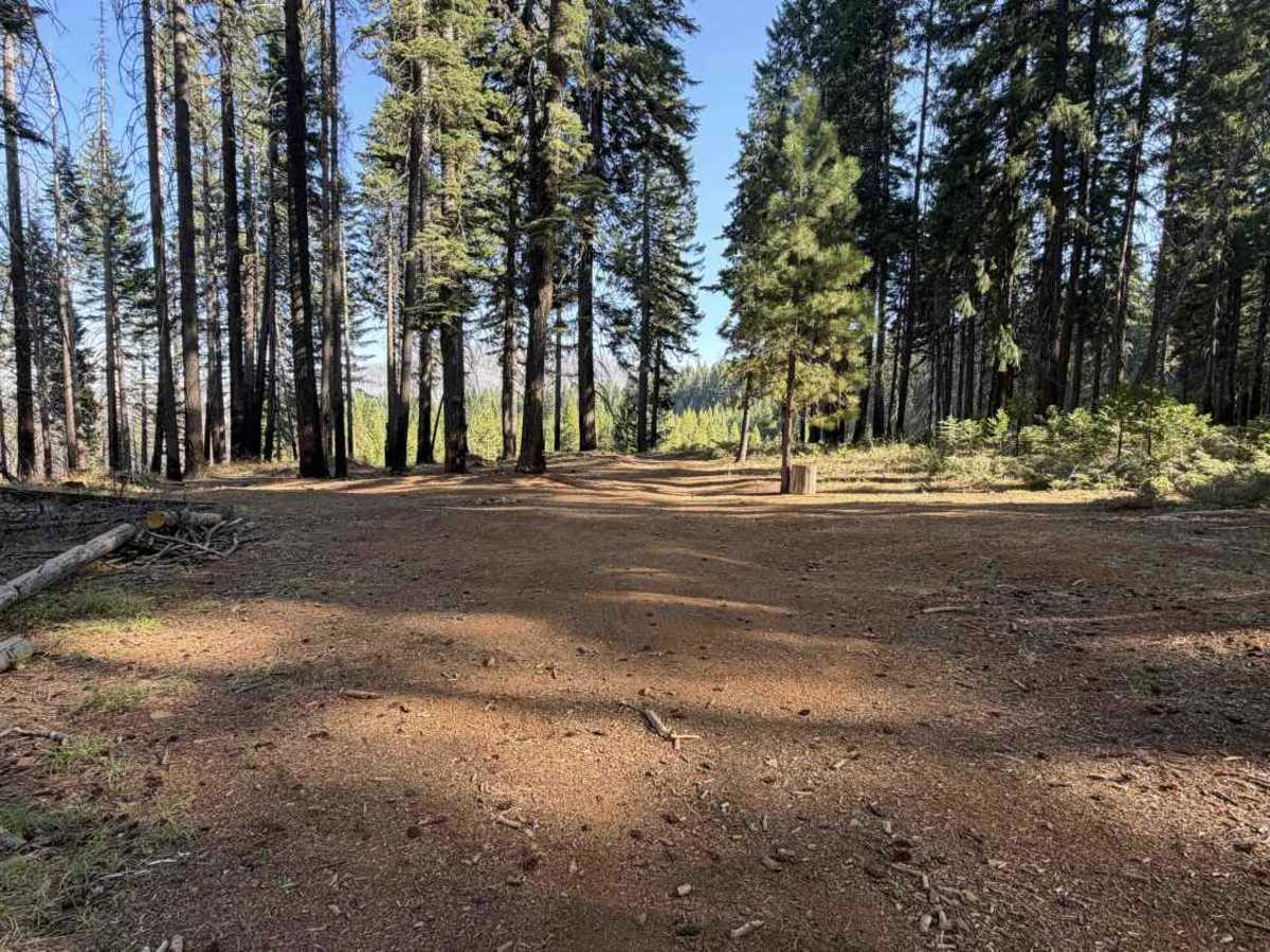
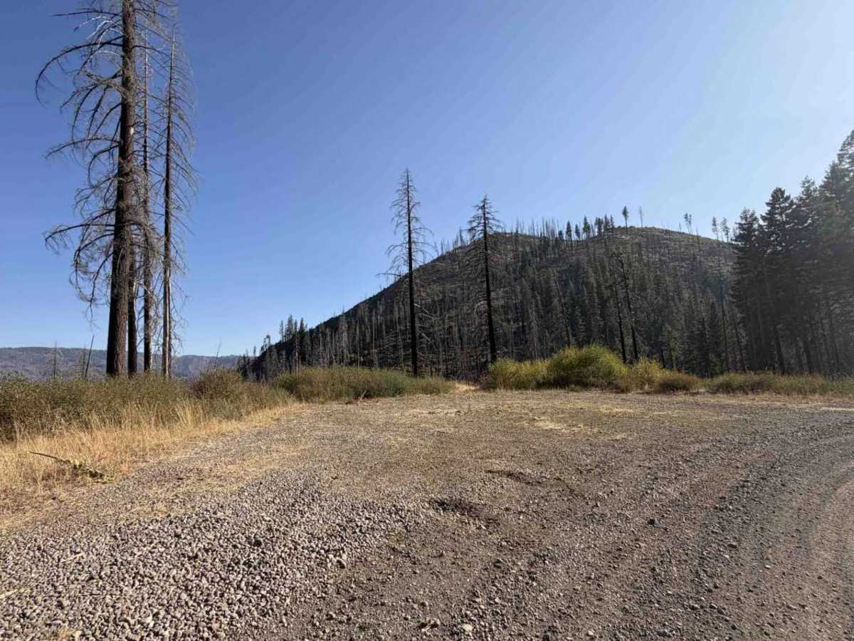
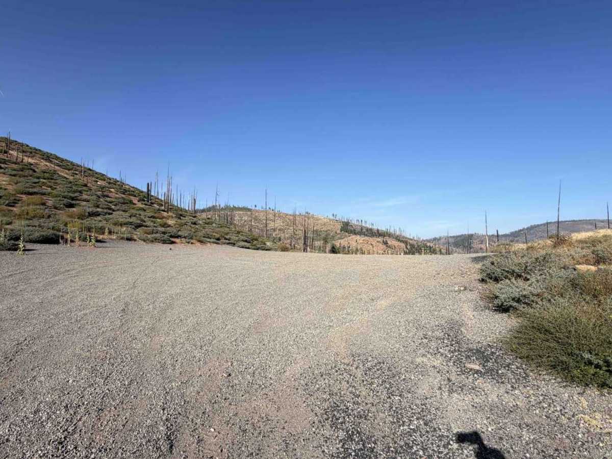
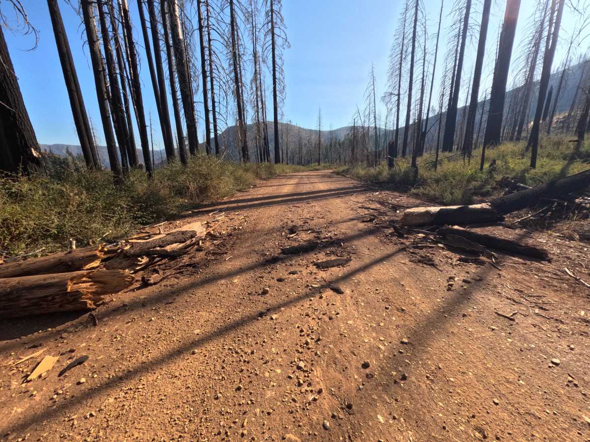
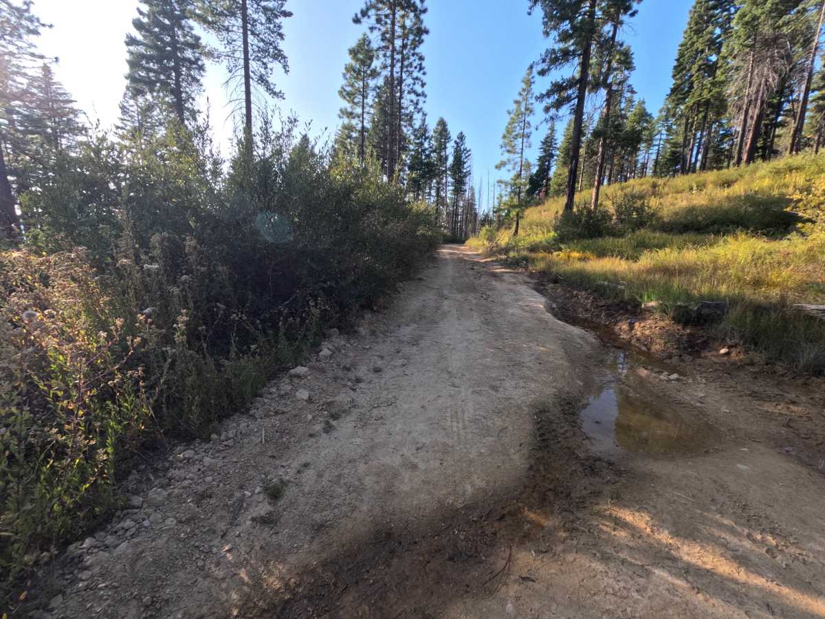
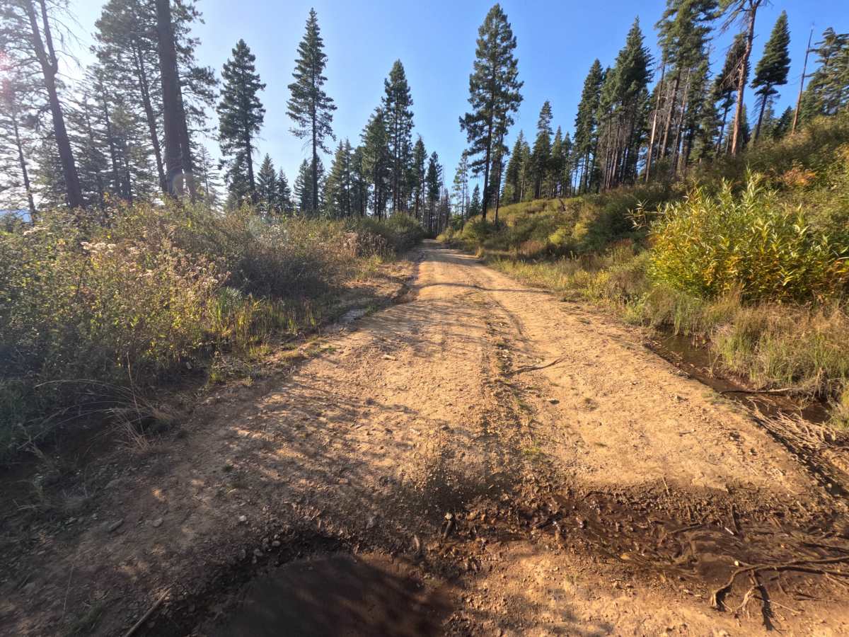
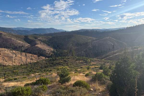
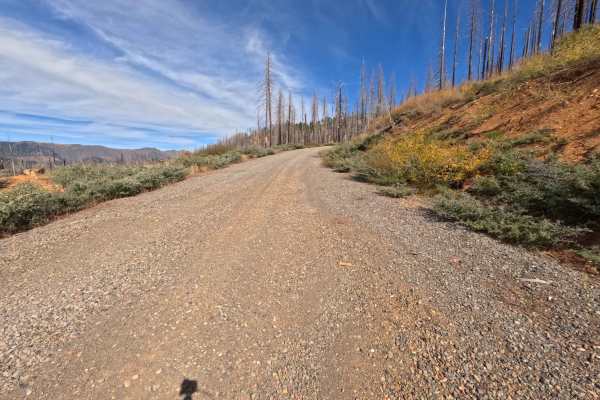
Ohio Creek (FS 27N98) leaves State Route 89 west of Lake Almanor and heads toward Butt Valley Reservoir as a long out-and-back route through the Lassen National Forest. This is a wide, hard-packed gravel road, roomy enough for two vehicles to pass comfortably, and it is well traveled for most of its length. The drive moves between shaded green forest and wide-open slopes still recovering from the 2021 Dixie Fire, where silver snags stand above fresh manzanita and young pines. One bend opens to a sweeping view across the old burn, and farther along, the road wraps around a hillside with long looks down onto the blue water of Butt Valley Reservoir. Dispersed camping is plentiful, from a small spur early on with room for several vehicles to a large gravel saddle that works well as a camp or staging area for six to eight rigs. Summer and fall offer the driest conditions.
Difficulty
Rated a 1 because this is a wide, mostly flat, well-maintained gravel road. A couple of noteworthy ruts and potholes appear late in the drive, and low spots in that section can hold water and mud depending on the season, but they are easy to steer around at a moderate pace. Loose gravel collects along the edges in places. There are no rocks, ledges, steep grades, or water crossings anywhere along the route. Standard ground clearance is all that is needed.

 Offroad