Trail Overview
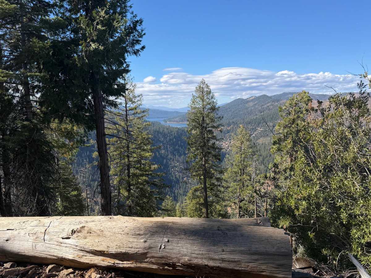
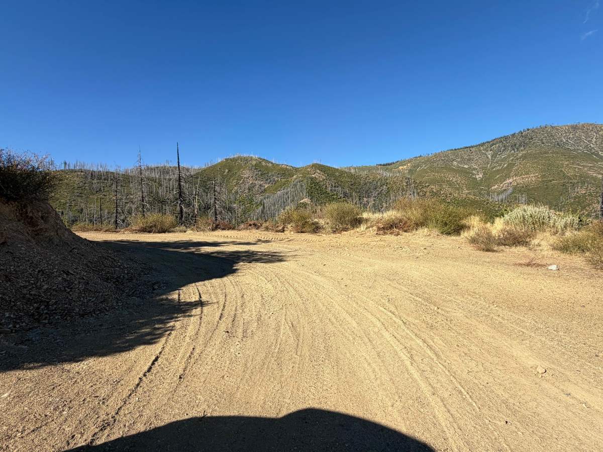
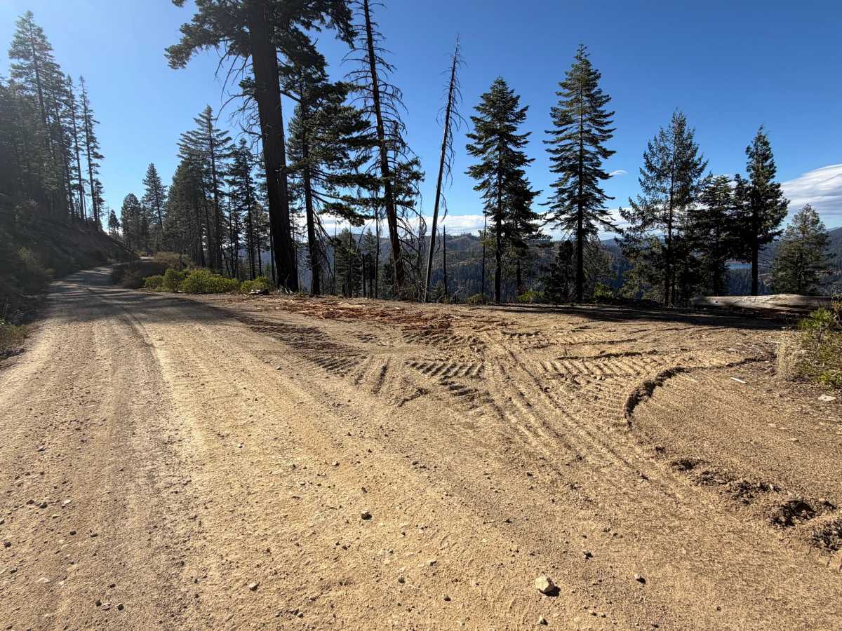
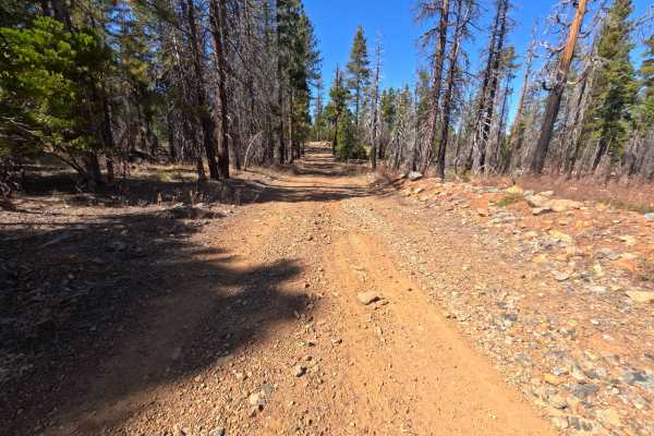
Redhill Almanor (FS 26N22) is a long, well-maintained gravel through-route linking Seneca Road on the mountainside south of Lake Almanor with State Route 70 in the North Fork Feather River country. A signed junction along the way points toward Highway 70 in one direction and Highway 89 and Canyondam in the other, making this a useful backcountry link between the two highway corridors. The drive alternates between open hillsides recovering from the 2021 Dixie Fire, where silver snags rise above manzanita and fresh green brush, and long stretches of tall, shaded forest that escaped the flames. Several bends open up wide views across layered canyons and ridges, and one high point looks out across the valley to a reservoir with Lassen Peak on the horizon. Dispersed camping is plentiful, from single-vehicle pullouts to a small loop with room for two or three vehicles overlooking the valley. The surface is a wide, hard-packed gravel road that is generally flat and easy. Summer and fall offer the best conditions. Please note that the southern 2.5 miles of this route, from Rush Creek Road to the Deadwood Saddle junction, are restricted to highway-legal vehicles only.
Difficulty
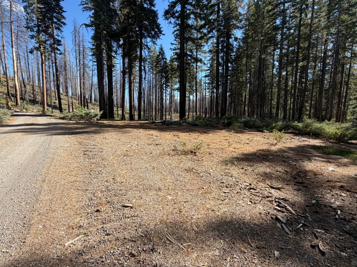
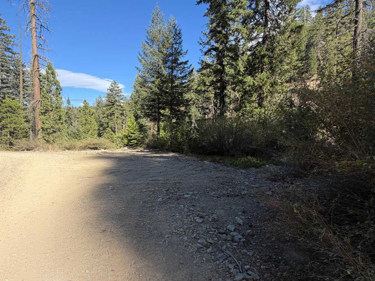
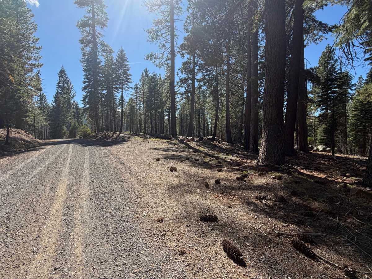
Rated a 1 because this is a wide, graded gravel road with gentle grades and plenty of room for two vehicles to pass in most places. Loose gravel collects in ridges between the wheel paths and along the shoulders, and small stones and pine cones are scattered across the tread under the trees. There are no ruts, rock obstacles, ledges, steep pitches, or water crossings anywhere along the route. Standard ground clearance is all that is needed. Please note that the southern 2.5 miles of this route, from Rush Creek Road to the Deadwood Saddle junction, are restricted to highway-legal vehicles only.