Trail Overview
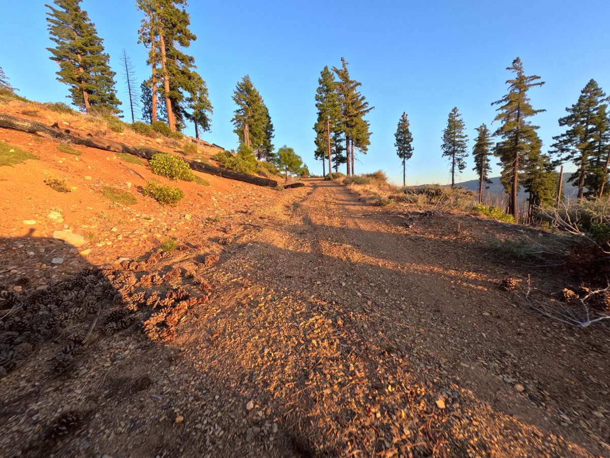
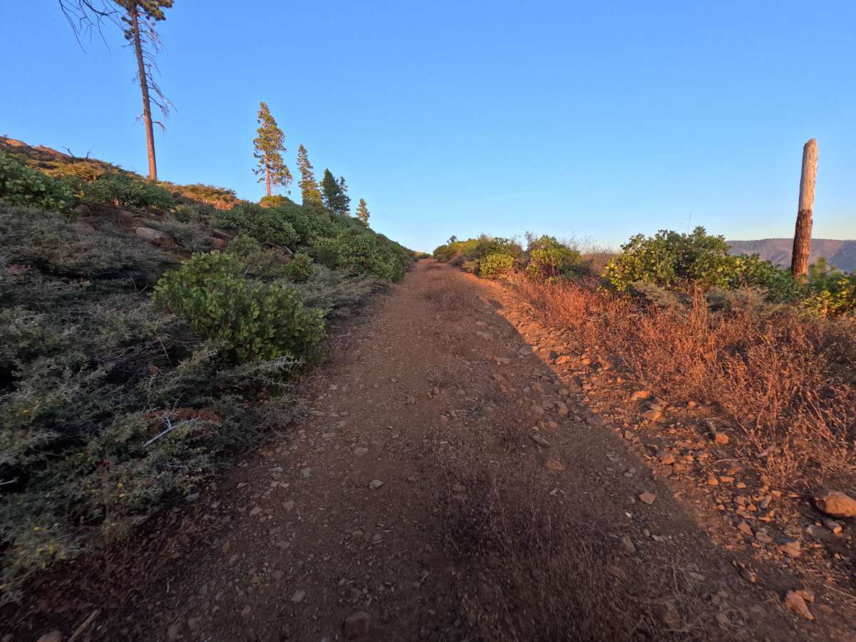
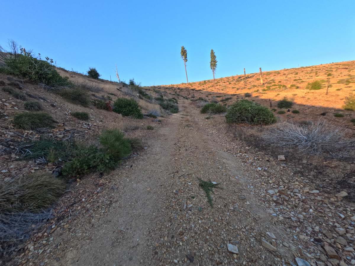
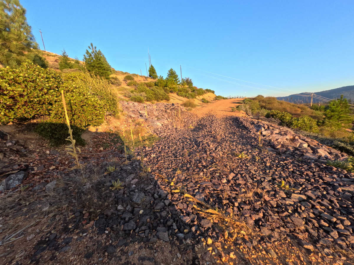
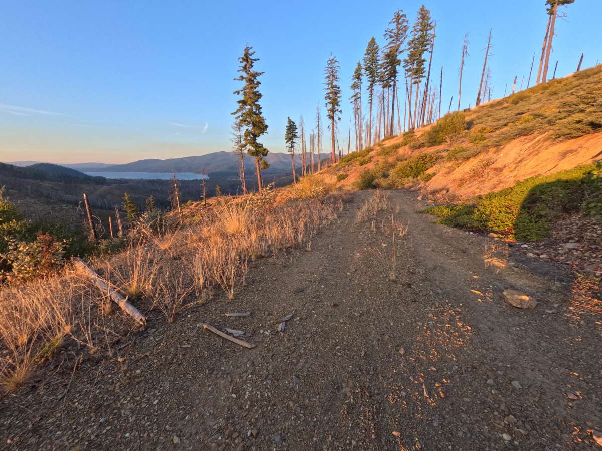
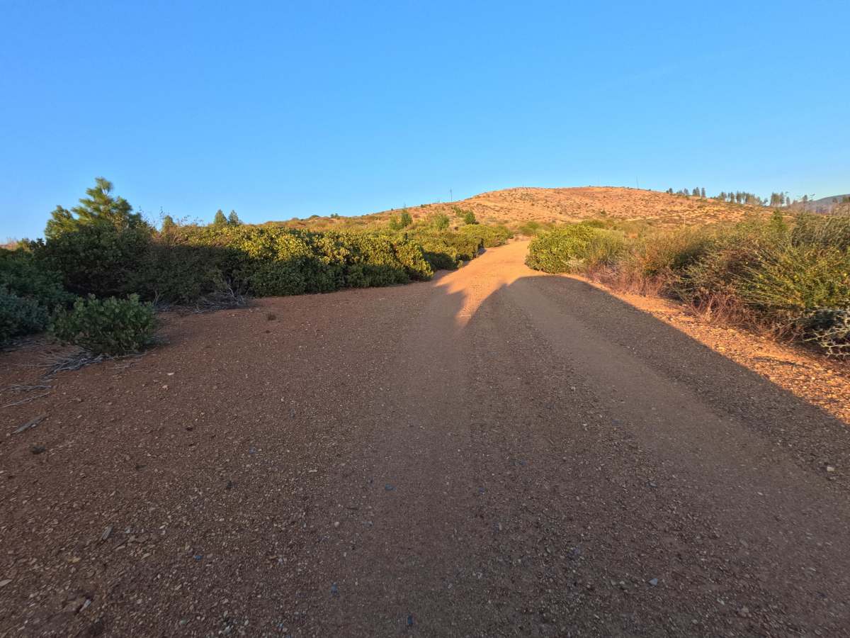
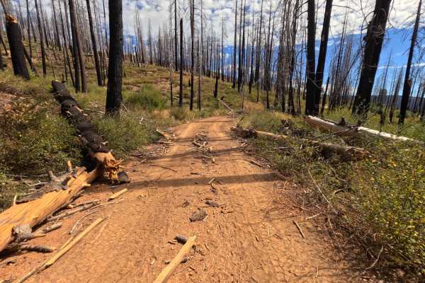
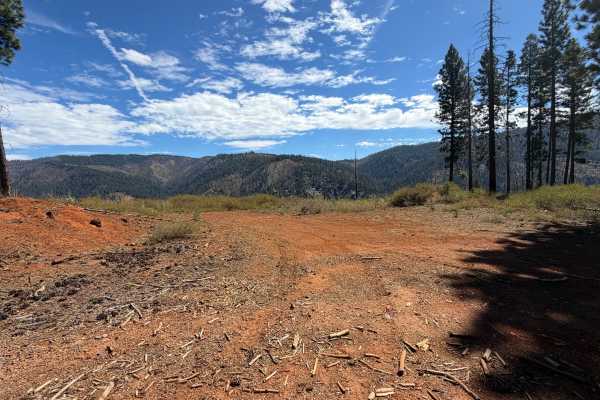
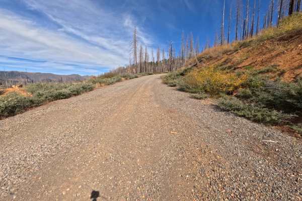
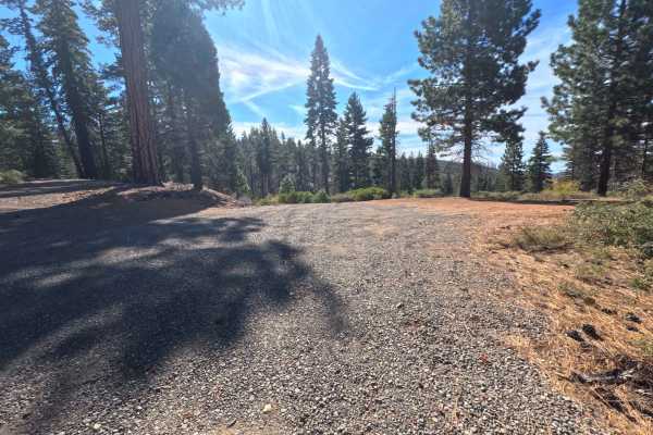
Ohio Creek Spur (FS 27N98B) branches off the open gravel saddle on the Ohio Creek road (FS 27N98) in the Lassen National Forest and climbs gently as a short out-and-back dirt spur. The route crosses open slopes still recovering from the 2021 Dixie Fire, where weathered snags stand above dense manzanita, bunchgrass, and young pines, leaving the views wide open in nearly every direction. The surface is a narrow, red-dirt two-track with loose stone scattered across the tread and a few rocky dips that make the ride bumpier toward the upper end. Near the top, a single dispersed campsite sits on a flat spot with wide-ranging views across the surrounding ridges. The spur finishes at a scenic viewpoint overlooking the blue water of Butt Valley Reservoir far below, with enough room to turn a vehicle around. Summer and fall bring the driest conditions and the clearest views.
Difficulty
Rated a 2 for a few rocky dips where the dirt gives way to patches of loose, angular stone, along with scattered rock across the tread that makes the upper section noticeably bumpier. The grade is a mellow, steady climb, and the dirt base stays firm between the rough spots. There are no ledges, deep ruts, or water crossings, which keeps the rating from going higher. Moderate ground clearance and a slow pace through the rocky dips are all that is needed.