
Dirt Bike Trails
Near Boyne Falls, Michigan
Explore All Dirt Bike Trails Near Boyne Falls, Michigan
Dirt Bike Trails Near Boyne Falls, Michigan
Discover the best dirt bike trails near you. Browse trail maps, check difficulty ratings, and find your next adventure — whether you're looking for a quick ride or an all-day expedition.
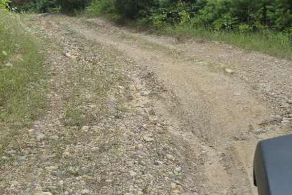
Southend Branch Line West
This route starts at the corner of Renkie Road. The entrance is poorly marked and almost looks like a driveway. Once you're on it, you'll follow a long, straight road for a while. In the wet seasons, this road is known to collect plenty of mud in potholes. Just past a small sandy area, you'll come t...
Learn more about Southend Branch Line West
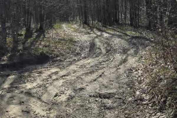
Fiel Road Crossing
This trail starts as a sandy two-track that quickly tightens into a more technical and engaging route. Early sections are distinctly off-camber, with both cut and fallen trees framing the trail. In places, high dirt banks close in to form a narrow corridor, adding a more confined, rugged feel right ...
Learn more about Fiel Road Crossing
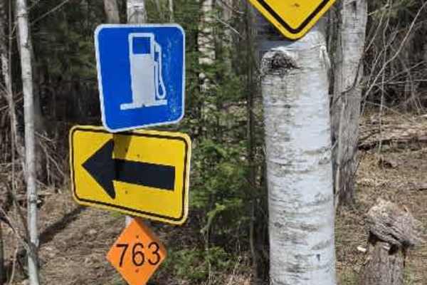
763
This trail begins off of North Spring Brook Road as a dirt two-track and quickly opens into a wide field, where the remains of an old building foundation come into view, adding a quiet historical touch to the landscape. The field section features very loose sand, creating a soft and challenging surf...
Learn more about 763
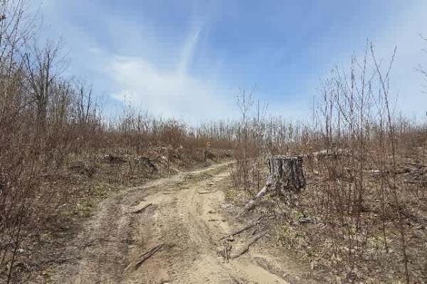
Fiel Road
This trail features consistently challenging terrain with deep, off-camber ruts exceeding 12 inches in places. It begins on packed dirt, but the surface varies throughout, alternating between sand and dirt as the route progresses.
Early sections quickly introduce off-camber conditions, including ru...
Learn more about Fiel Road
763 Connector
Carved into the hillside, this short trail packs a serious punch right from the start. It begins at Fiel Road with a steep, sandy climb deeply rutted with trenches over a foot deep that demand careful tire placement and steady throttle. Towering dirt walls rise on both sides, creating a narrow corri...
Learn more about 763 Connector
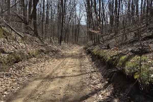
Holms Road
This scenic connector packs a little bit of everything into one unforgettable ride. Entering from North Springbrook Road, you'll be greeted by deep sand, steep climbs, and towering dirt walls that immediately set the tone for the adventure ahead. Fallen trees arch overhead, creating a tunnel-like pa...
Learn more about Holms Road
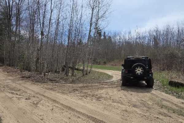
Holms Road Loop
What starts with a modest entrance quickly proves it has plenty of character. This trail begins as a simple dirt and sand two-track, but don't let that fool you—it soon delivers a fun mix of terrain that keeps things interesting. Expect shallow ruts early on, generally under six inches, before the t...
Learn more about Holms Road Loop
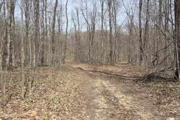
Natural Dam Trail
This trail begins as a hard-packed dirt and sand two-track with easy access from Holms Road. Early sections feature off-camber rutted areas with ruts generally less than 6" deep, making for a mild but engaging drive. During wet seasons, 4WD may be needed in softer sections.
One of the standout feat...
Learn more about Natural Dam Trail

Howard Road
Starts on a firm, packed gravel base, easy and steady, wide enough for about a car and a half, with room to pass in most spots. Early on, you’re already tied into Snowmobile Trail 76, with directional arrows branching off the main route that hint at the larger network of backcountry paths waiting to...
Learn more about Howard Road
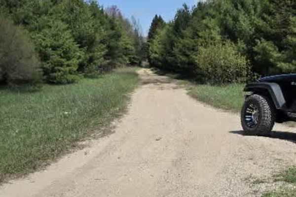
9991914
This trail begins with hard-packed sand, often damp at the edges where shallow water seeps across the surface, setting the tone for a route that feels alive and ever-changing.
It’s a single-car-width track, but with occasional pull-offs that let you ease over and pass or simply take in the quiet of...
Learn more about 9991914

Harmon to Walton
A nice easy ride through some pretty dense forest. There are a few offshoot trails that form a loop back to Harmon Road and a couple of others that lead to Walton Road. After a good rain, there are some mud holes to enjoy. A nearby campground that is ORV-friendly is a great place to stay to enjoy th...
Learn more about Harmon to Walton
Ravine Road
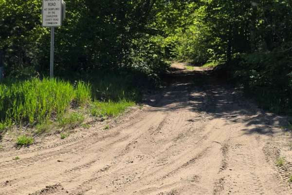
This short but scenic connector runs between Springdale Road and North Magee Road, offering a relaxed 1.5-mile drive through a quiet stretch of northern Michigan forest. The route is a hard-packed sand two-track that winds through lush, dense tree cover, giving it a tucked-away, “hidden trail” feel ...
Learn more about Ravine Road
Gillette Road
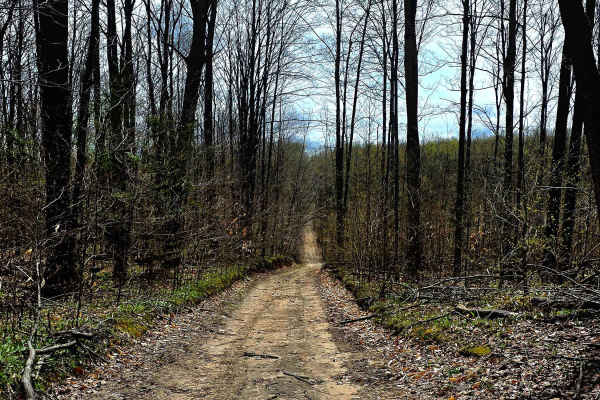
Point-to-point trail south of Petoskey, Michigan, and west of the ORV parking trailhead located on Springvale Road. This trail/seasonal road. Can be a cut-through from Johnson Rd trail just north and take you to Cobb Road. and over to Springbrook Golf course, which has a bar and grill and welcomes O...
Learn more about Gillette Road

Great Lakes Road
This is a seasonal road trail with a few hills and sometimes water at the bottom of the one big hill about halfway through. A point-to-point trail, a singletrack M/C trail runs alongside partial way and trail is wide enough for oncoming vehicles. It strolls through the woods with wildlife around it,...
Learn more about Great Lakes Road
Wolf Run
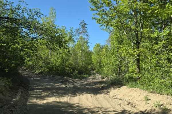
This route begins off Charlevoix/Booth Lake Rd and runs toward Marl Creek Rd with an intersection tying into Wilderness Rd. It’s a mixed-use forest connector that shifts between sandy two-track, narrow wooded corridors, and more technical off-camber sections.
The trail starts sandy with light rock ...
Learn more about Wolf Run
Southwest Leg Tomahawk B Loop
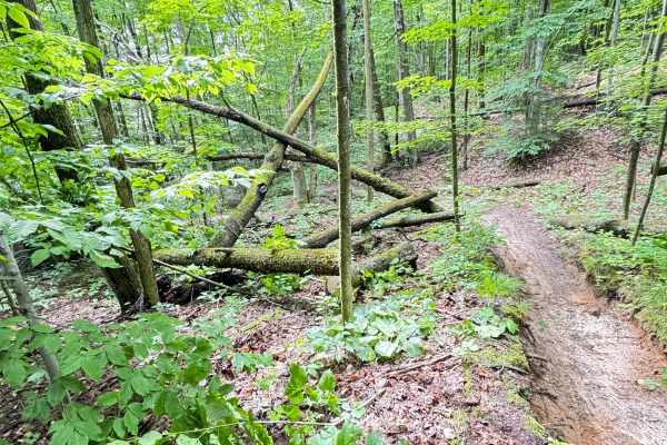
On the southwest end of Tomahawk B loop, you will find dense forest with sand, hard pack, loamy soil, and thick brush along the trail. Ferns and other small trees tend to grow quickly in toward the trail. This section is twisty with some elevation change. Some standing water may be present in a few ...
Learn more about Southwest Leg Tomahawk B Loop
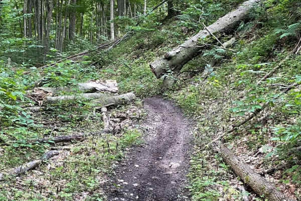
Tomahawk B Loop - Blackberry Ridge Section
Single track segment of Tomahawk B Loop Motorcycle only. This track travels through mostly wooded areas filled with tight and sometimes technical areas and then opens to a very overgrown area of Blackberry bushes. Riders beware! Proper protective riding gear is recommended as to avoid being cut by t...
Learn more about Tomahawk B Loop - Blackberry Ridge Section
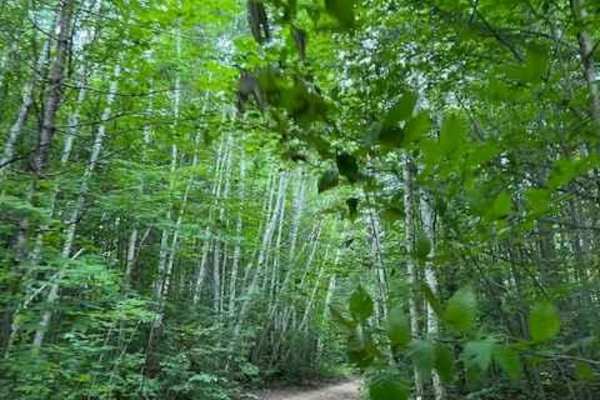
Wilderness Road
This is a forest road that connects the Mason Pit trail to the Charlevoix/Booth Lake trail. The trail is wide enough for passing oncoming traffic but I wouldn't call it a two-lane road. There are some nice hills and a cool little spot where a cottage once stood Part of the fireplace is still standin...
Learn more about Wilderness Road
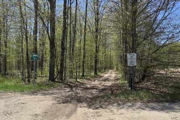
Taylor Road
This trail begins at Maxwell Road and eases you immediately into a hard-packed dirt and sand two-track, bordered by a quiet stretch of trees that set the tone for a scenic, relaxed drive. The surface starts firm and predictable, making it an easy roll for most vehicles.
As you move deeper in, the t...
Learn more about Taylor Road
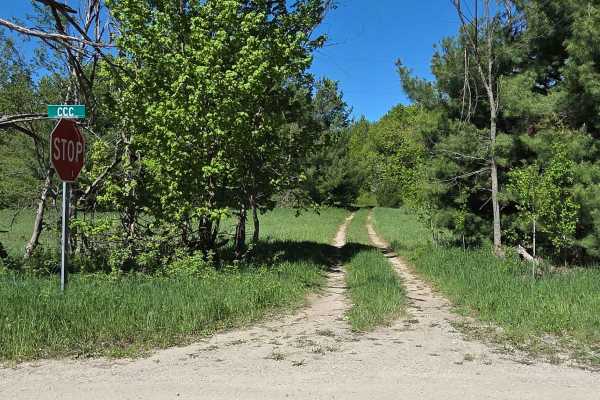
Peet Scenic Route
This trail begins as a quiet grass-and-hard-packed dirt two-track that quickly sets the tone for a more remote, lightly used route. Overgrown in sections with low-hanging branches, it feels tucked away and rarely traveled, with little sign of frequent traffic as it winds deeper into the forest. The ...
Learn more about Peet Scenic Route
ATV trails near Boyne Falls, Michigan
Explore ATV-friendly trails near you. These trails are accessible for vehicles up to 50 inches wide, perfect for ATVs and smaller off-road machines.
Southend Branch Line West
This route starts at the corner of Renkie Road. The entrance is poorly marked and almost looks like a driveway. Once you're on it, you'll follow a long, straight road for a while. In the wet seasons, this road is known to collect plenty of mud in potholes. Just past a small sandy area, you'll come t...
Learn more about Southend Branch Line West
Fiel Road Crossing
This trail starts as a sandy two-track that quickly tightens into a more technical and engaging route. Early sections are distinctly off-camber, with both cut and fallen trees framing the trail. In places, high dirt banks close in to form a narrow corridor, adding a more confined, rugged feel right ...
Learn more about Fiel Road Crossing
763
This trail begins off of North Spring Brook Road as a dirt two-track and quickly opens into a wide field, where the remains of an old building foundation come into view, adding a quiet historical touch to the landscape. The field section features very loose sand, creating a soft and challenging surf...
Learn more about 763
Fiel Road
This trail features consistently challenging terrain with deep, off-camber ruts exceeding 12 inches in places. It begins on packed dirt, but the surface varies throughout, alternating between sand and dirt as the route progresses.
Early sections quickly introduce off-camber conditions, including ru...
Learn more about Fiel Road
UTV/side-by-side trails near Boyne Falls, Michigan
Find UTV and side-by-side trails near you. These trails accommodate vehicles up to 60 inches wide, ideal for UTVs, side-by-sides, and wider off-road rigs.
Southend Branch Line West
This route starts at the corner of Renkie Road. The entrance is poorly marked and almost looks like a driveway. Once you're on it, you'll follow a long, straight road for a while. In the wet seasons, this road is known to collect plenty of mud in potholes. Just past a small sandy area, you'll come t...
Learn more about Southend Branch Line West
Fiel Road Crossing
This trail starts as a sandy two-track that quickly tightens into a more technical and engaging route. Early sections are distinctly off-camber, with both cut and fallen trees framing the trail. In places, high dirt banks close in to form a narrow corridor, adding a more confined, rugged feel right ...
Learn more about Fiel Road Crossing
763
This trail begins off of North Spring Brook Road as a dirt two-track and quickly opens into a wide field, where the remains of an old building foundation come into view, adding a quiet historical touch to the landscape. The field section features very loose sand, creating a soft and challenging surf...
Learn more about 763
Fiel Road
This trail features consistently challenging terrain with deep, off-camber ruts exceeding 12 inches in places. It begins on packed dirt, but the surface varies throughout, alternating between sand and dirt as the route progresses.
Early sections quickly introduce off-camber conditions, including ru...
Learn more about Fiel Road
The onX Offroad Difference
onX Offroad combines trail photos, descriptions, difficulty ratings, width restrictions, seasonality, and more in a user-friendly interface. Available on all devices, with offline access and full compatibility with CarPlay and Android Auto. Discover what you're missing today!
Open Trail Map