Trail Overview
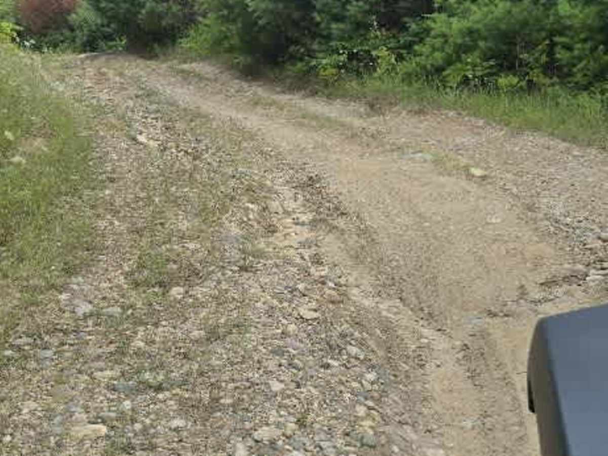
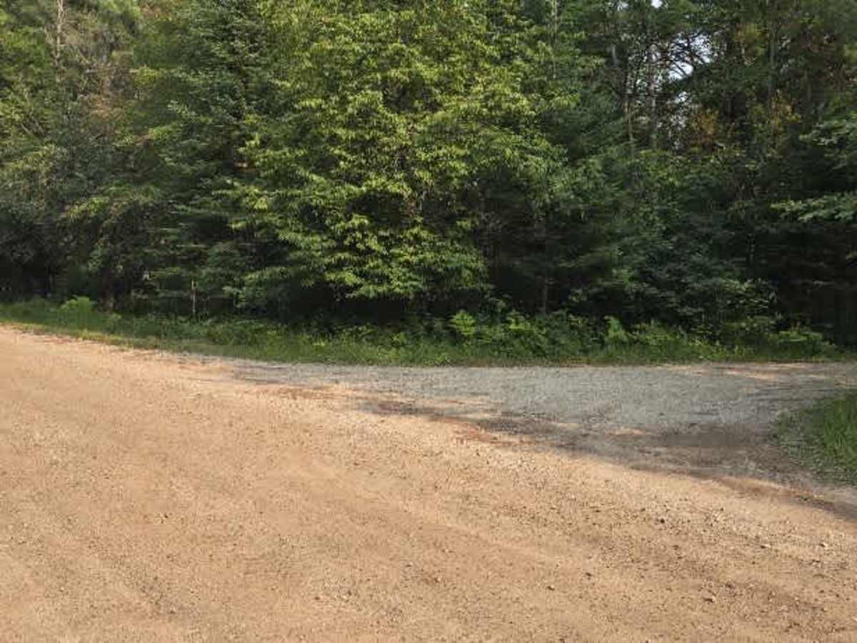
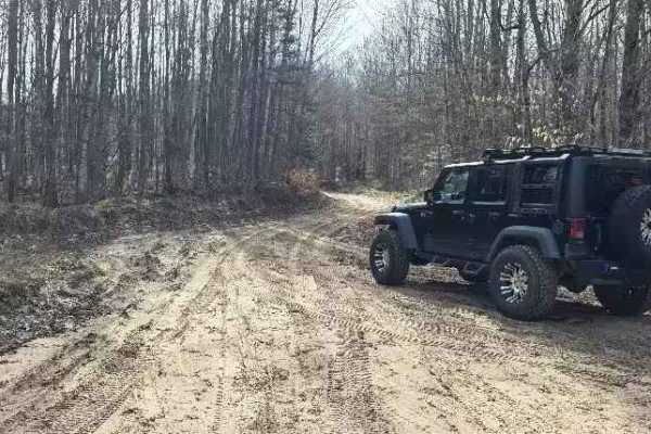
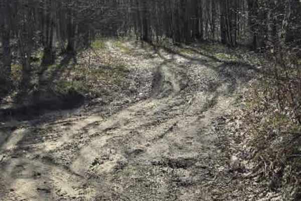
This route starts at the corner of Renkie Road. The entrance is poorly marked and almost looks like a driveway. Once you're on it, you'll follow a long, straight road for a while. In the wet seasons, this road is known to collect plenty of mud in potholes. Just past a small sandy area, you'll come to a fork in the road—staying to the left will take you to the rest of the trail system. Please note this is an "out and back" type trail. There is only one way in and out at this time that I have found.
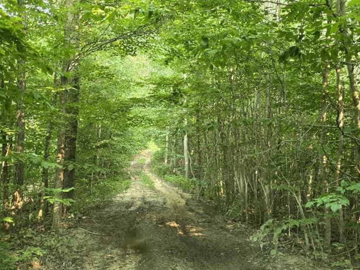
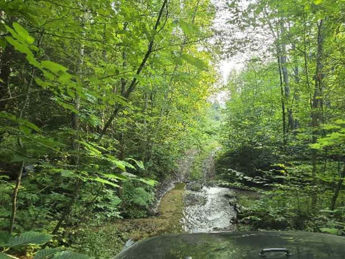
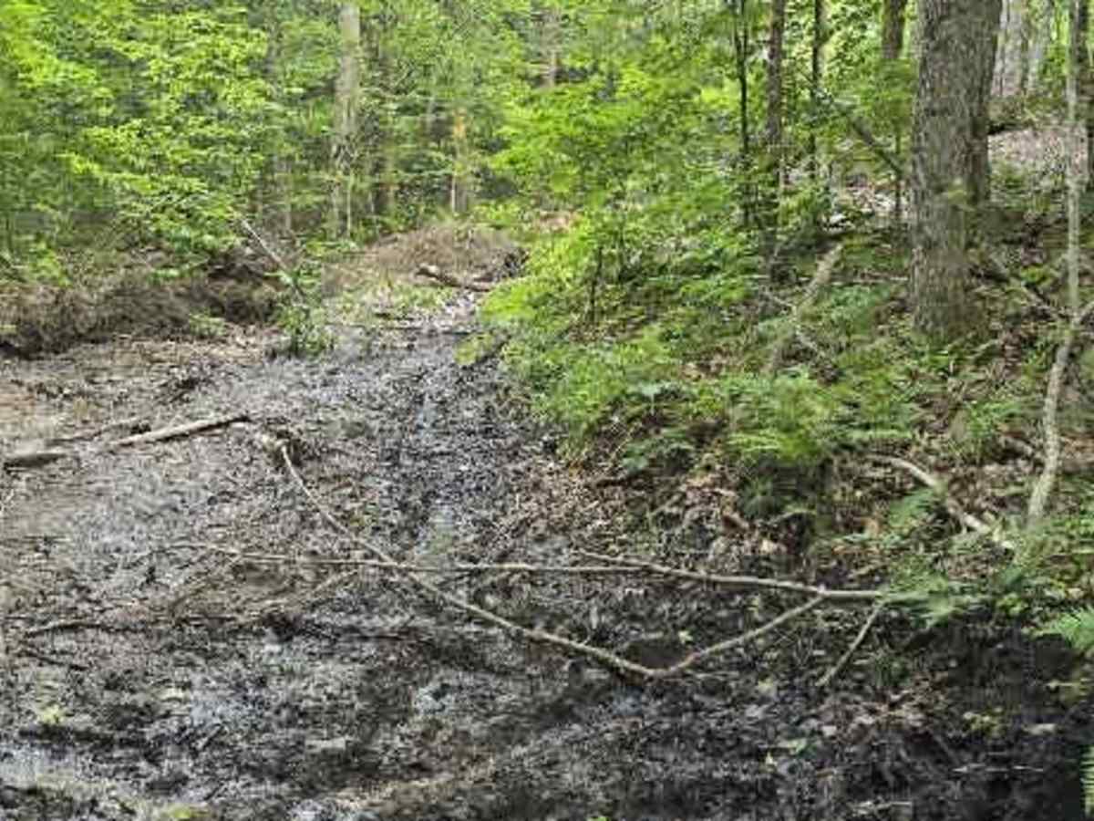
Sadly, after northern Michigan's ice storm last year, the trails have become a mess. There's a difficult spot on this trail with deep mud; I’d advise taking the bypass trail rather than going through it. There are also a couple of small stream or creek crossings along the way.
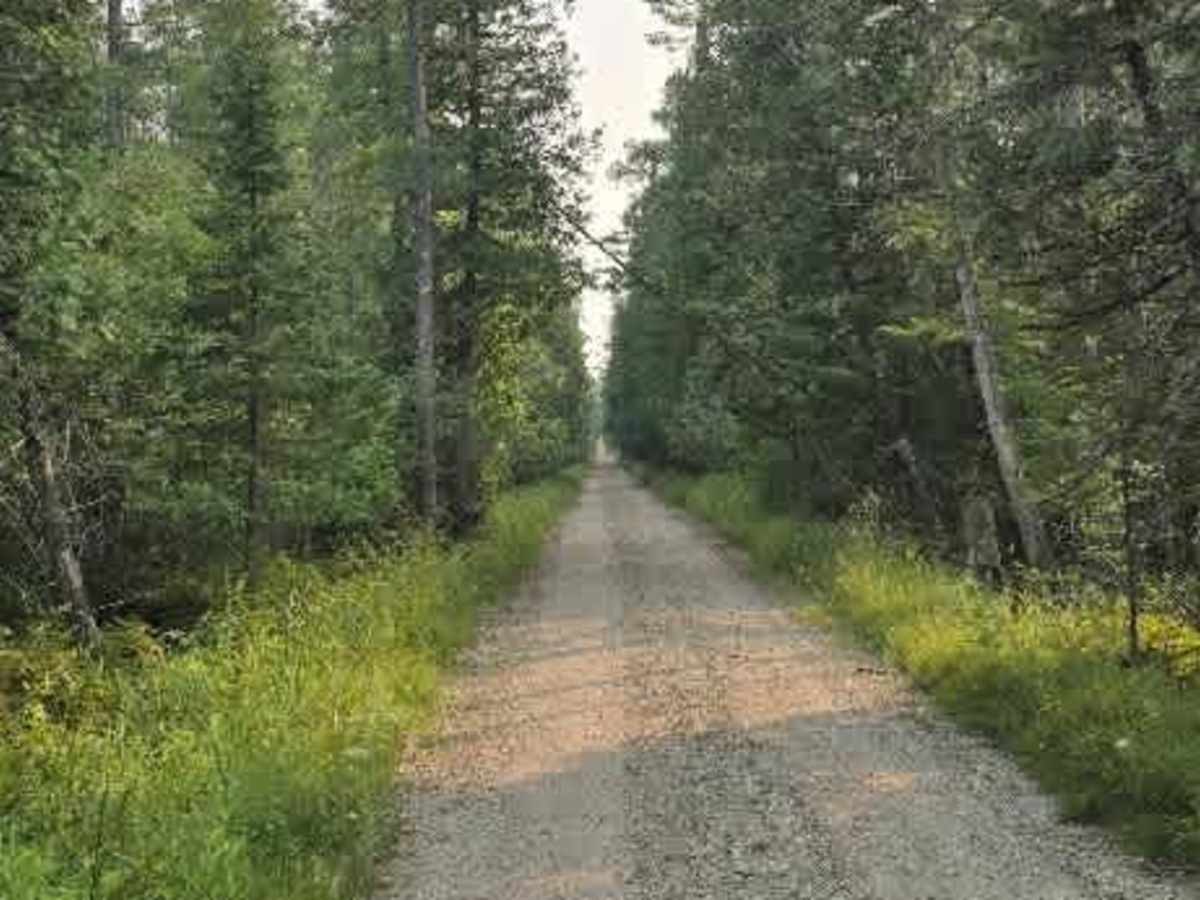
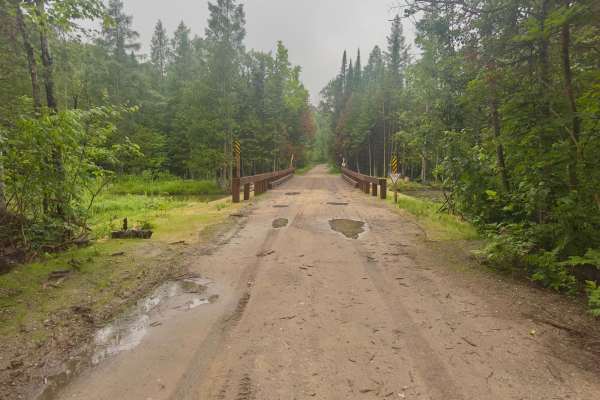
This trail has a few off-camber spots, with just enough tilt to give you a rush. There are also some very tight sections. We took our 4-door Jeep, and at points, the trail narrowed so much that trees were just inches from both sides. This trail requires 4x4 and decent ground clearance. It's mainly wooded, with some open areas and a couple of cool sights to see. The trail system used to extend farther, but a collapsed area now makes it impassable.
Difficulty
Multiple deep ruts with mud, multiple off-camber small climbs, and a couple of small water crossings with off-camber climb outs. Passing vehicles will be difficult without backing up to safe areas.