Trail Overview
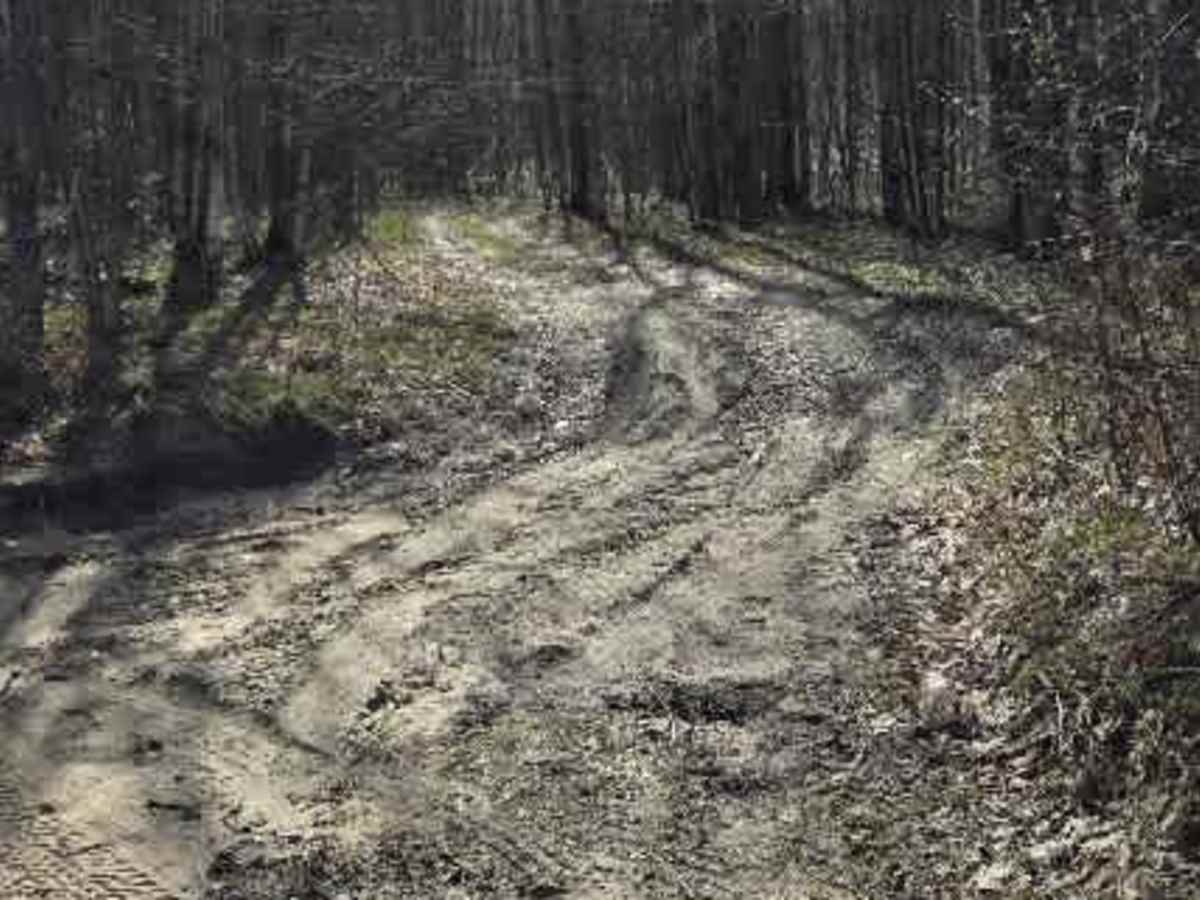
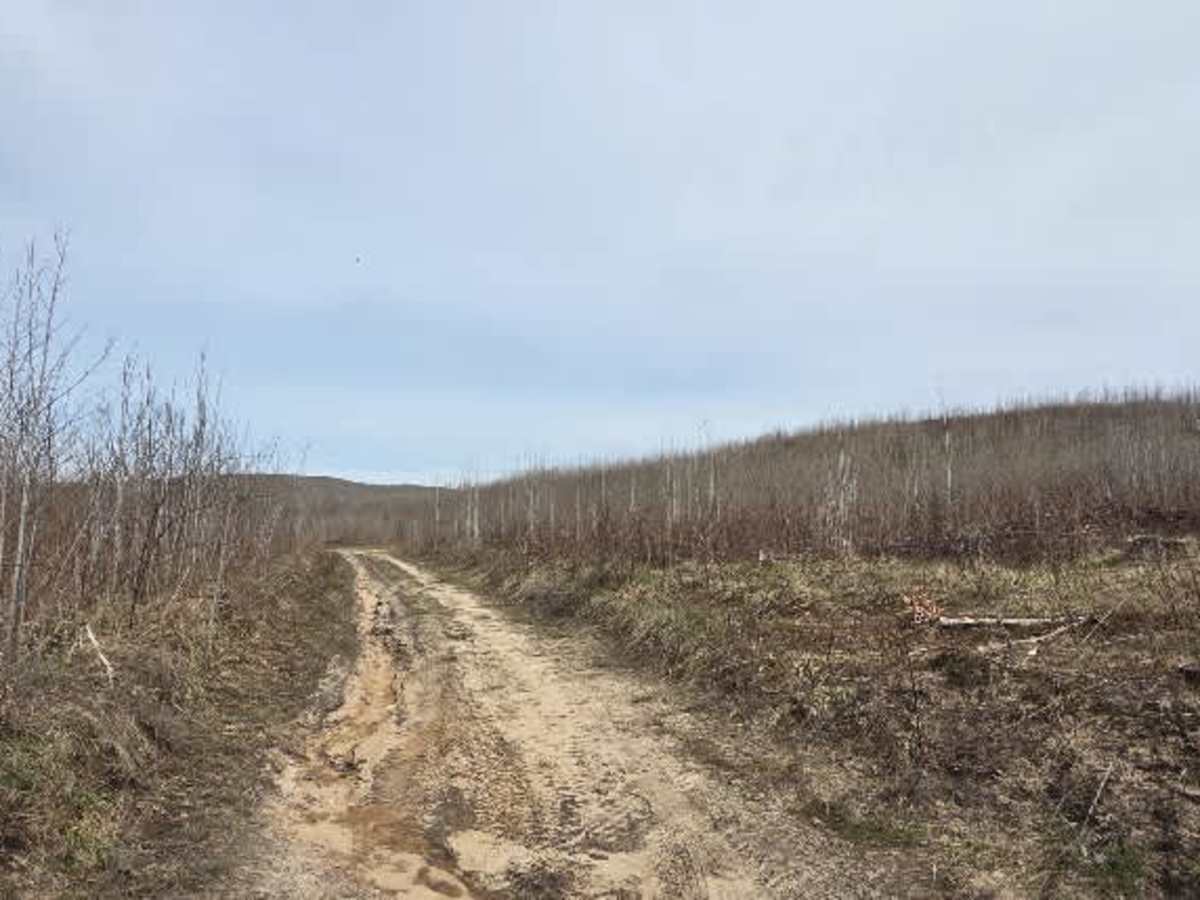
This trail starts as a sandy two-track that quickly tightens into a more technical and engaging route. Early sections are distinctly off-camber, with both cut and fallen trees framing the trail. In places, high dirt banks close in to form a narrow corridor, adding a more confined, rugged feel right from the start.
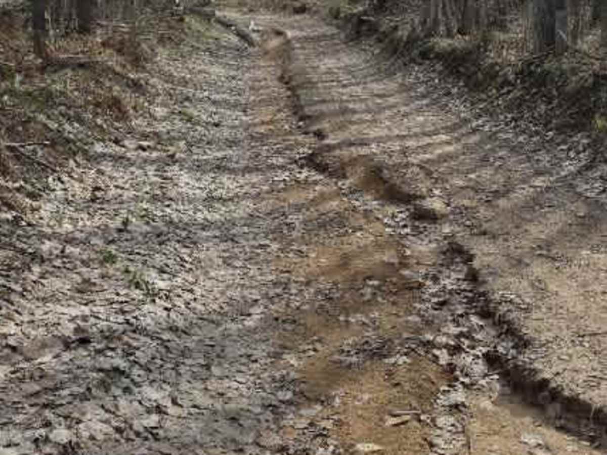
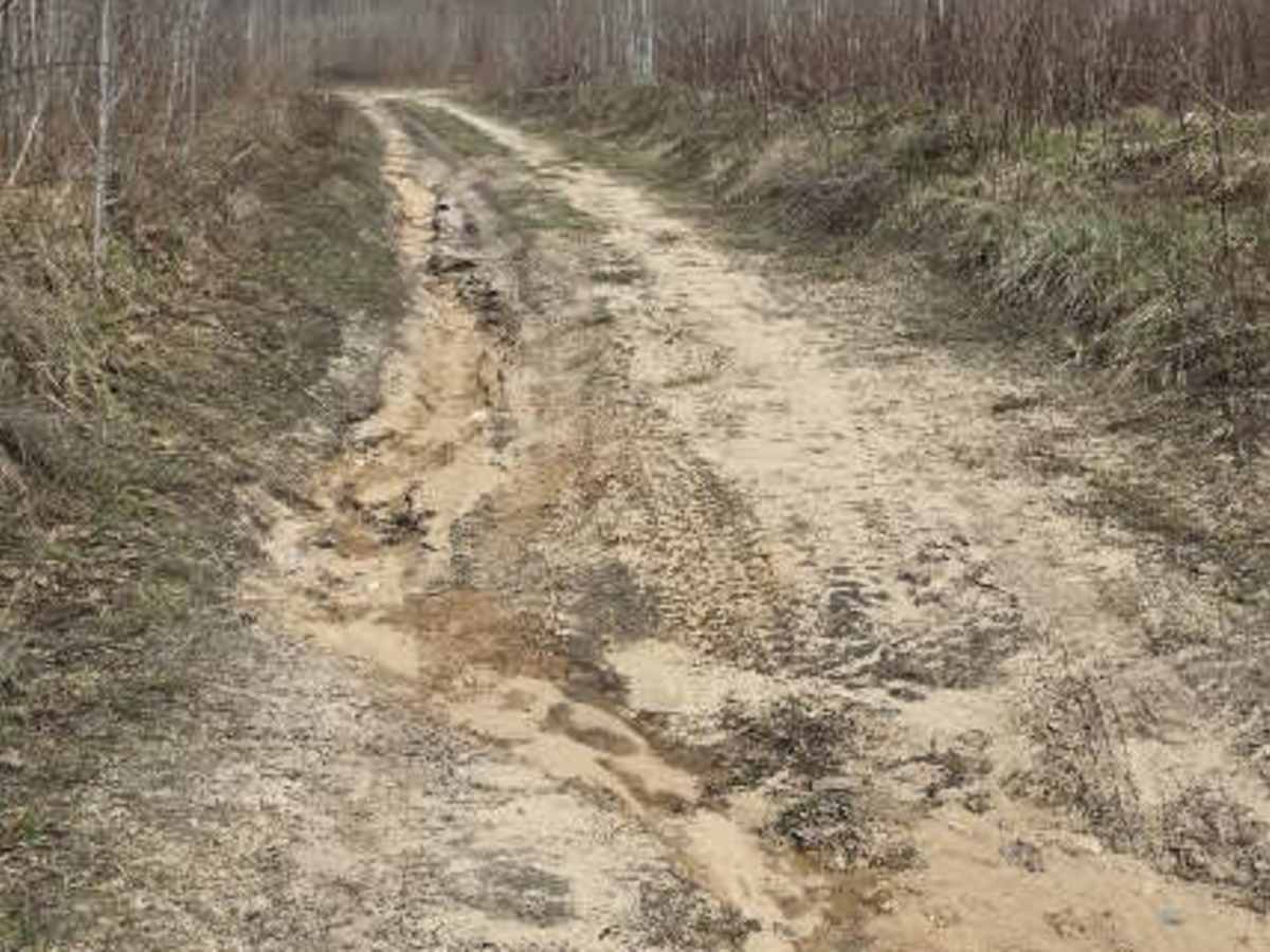
As it progresses, the terrain becomes more demanding with ruts reaching up to 12 inches deep in multiple off-camber sections. Washout areas appear intermittently, adding uneven footing and requiring careful line choice.
The trail eventually opens into a valley where washouts become more prominent, and a water hole spans the full width of the track. While it is possible to skirt parts of the crossing, conditions vary and may require careful navigation depending on water levels.
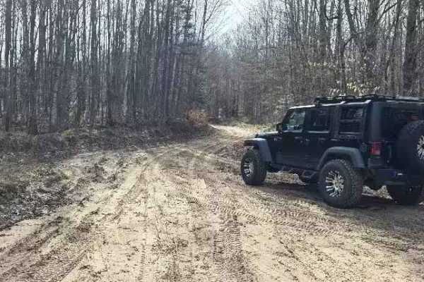
4WD is required throughout, and high clearance is strongly recommended due to repeated washouts and uneven terrain.
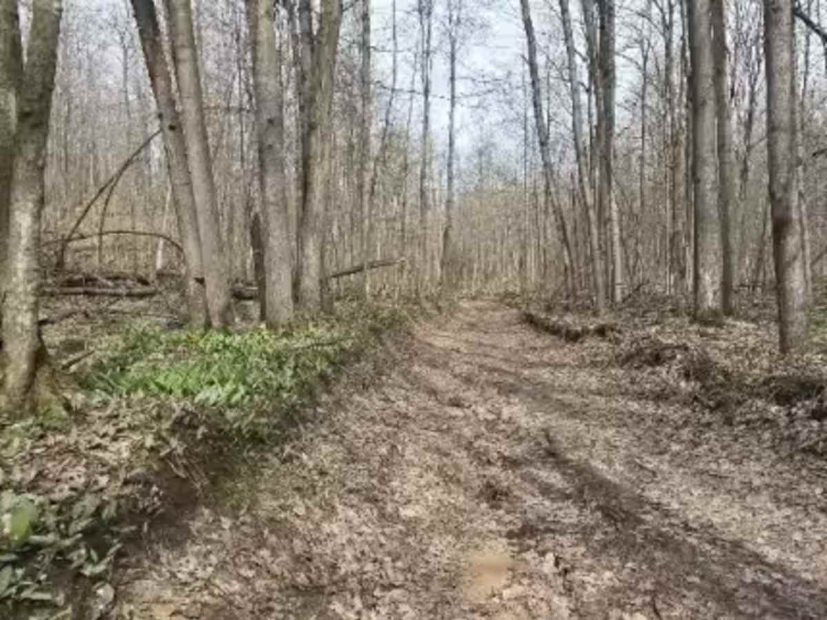
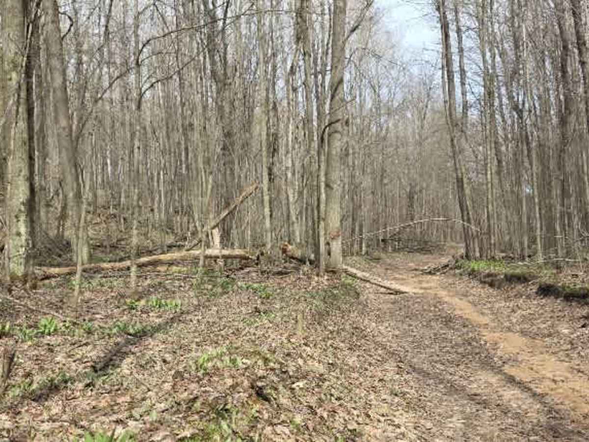
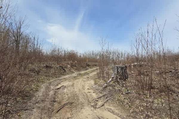
Beyond the water sections, the trail transitions into a grass-covered track before shifting again into a leaf-covered two-track. Here, loose rock appears, including a steeper climb of 12+ inches that adds a brief technical challenge. Further north, the trail becomes increasingly overgrown, with vegetation narrowing the path.
Throughout the route, downed trees under 6 inches in diameter are present and may require driving over or careful maneuvering around.
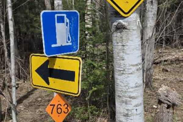
The trail ultimately connects to Field Road, providing access to the 763 Connector and additional trail systems in the area.