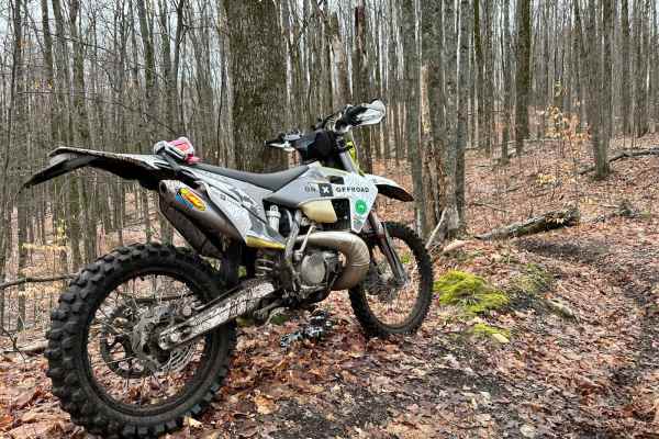
Trail Overview
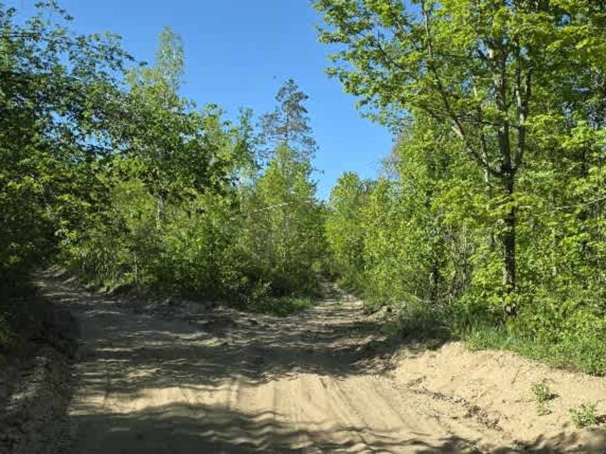
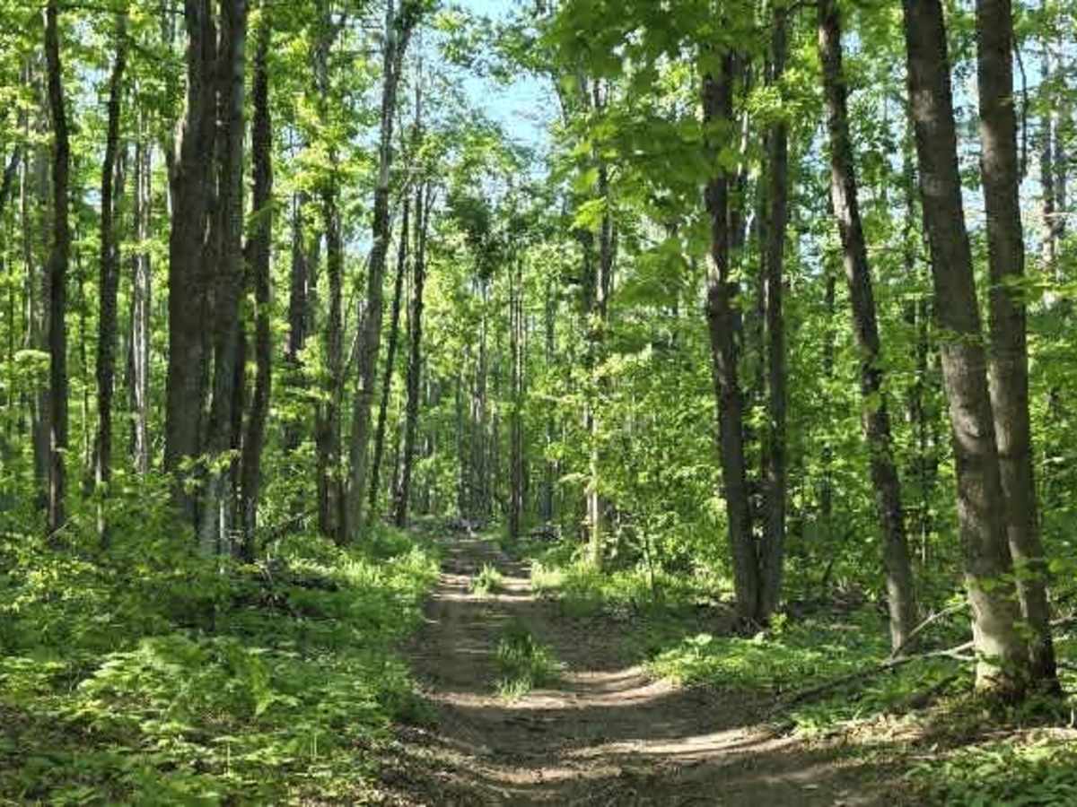
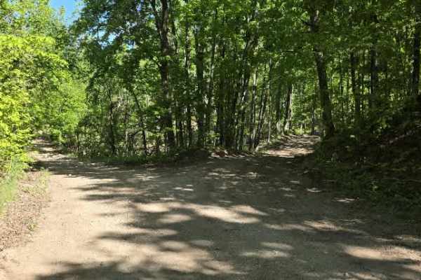
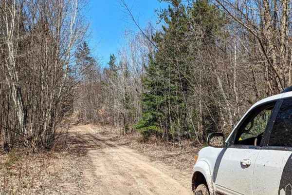
This route begins off Charlevoix/Booth Lake Rd and runs toward Marl Creek Rd with an intersection tying into Wilderness Rd. It’s a mixed-use forest connector that shifts between sandy two-track, narrow wooded corridors, and more technical off-camber sections.
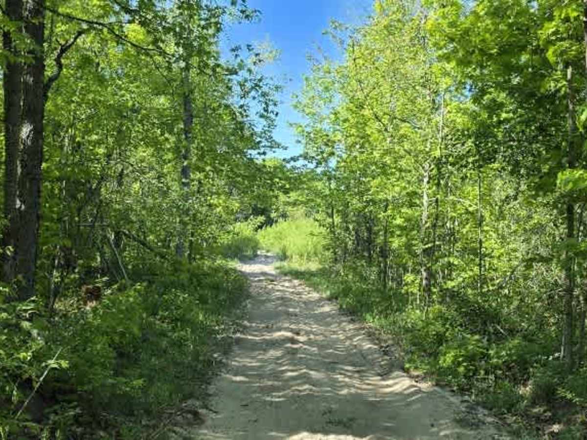
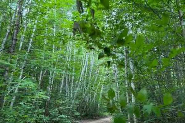
The trail starts sandy with light rock coverage and quickly transitions into a single-track-style path with a few pull-off spots. Campsites are available along stretches of the route, making it a solid overnight or dispersed camping option. Expect frequent low-hanging branches and tight tree corridors that will leave pinstriping likely.
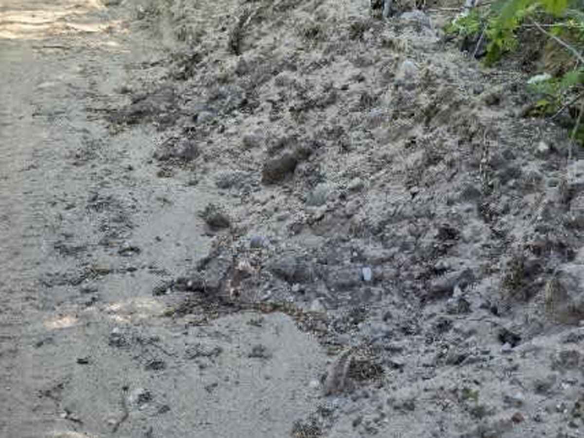
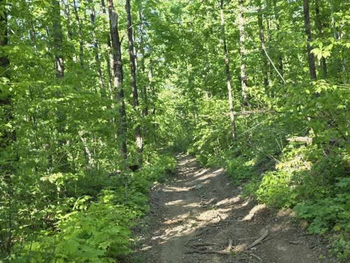
Terrain varies throughout: there are multiple mud holes averaging around one foot deep, along with rutted sections that can reach about 25° off-camber, often bordered by high, carved-out trail walls. One standout feature is a steep 17° off-camber turn that feeds directly into a tall-walled hill climb, requiring careful line choice.
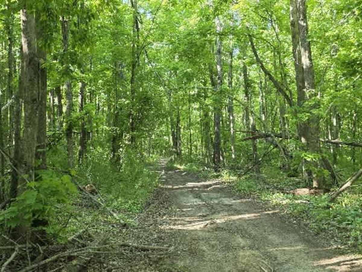
Rocky hill sections break up the sand, with small ledges up to roughly one foot that can catch momentum-dependent rigs off guard. The trail remains narrow and winding for long stretches, with only occasional passing points.
Wildlife activity is present—there was a reported wolf sighting in the area near Charlevoix/Booth Lake Rd—so it’s worth staying alert, especially around dawn and dusk.
Overall, this is a moderately technical forest trail: sandy base, tight navigation, off-camber challenges, and scattered obstacles that reward steady driving and good tire placement rather than speed.