Trail Overview
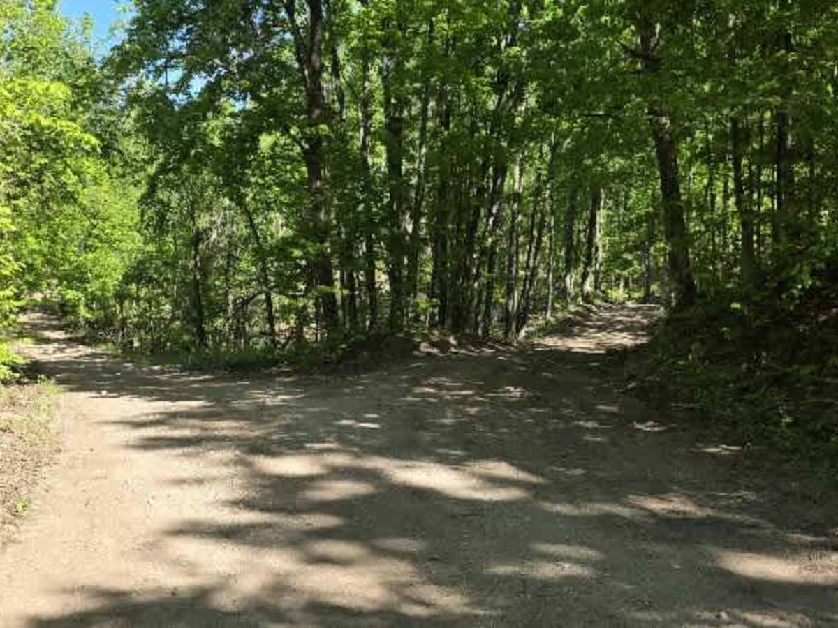
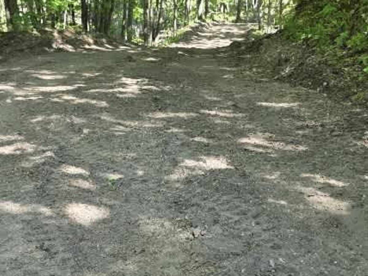
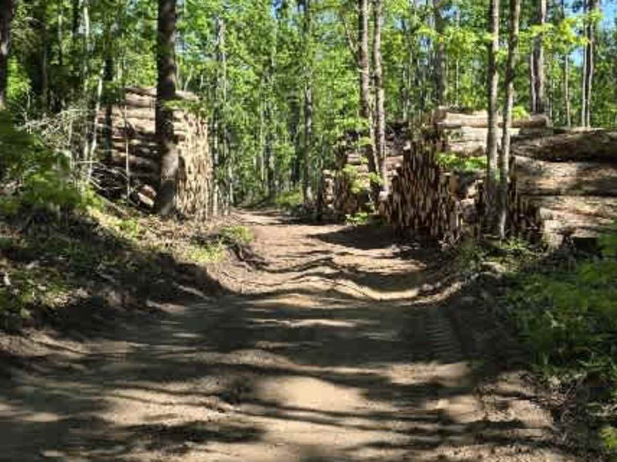
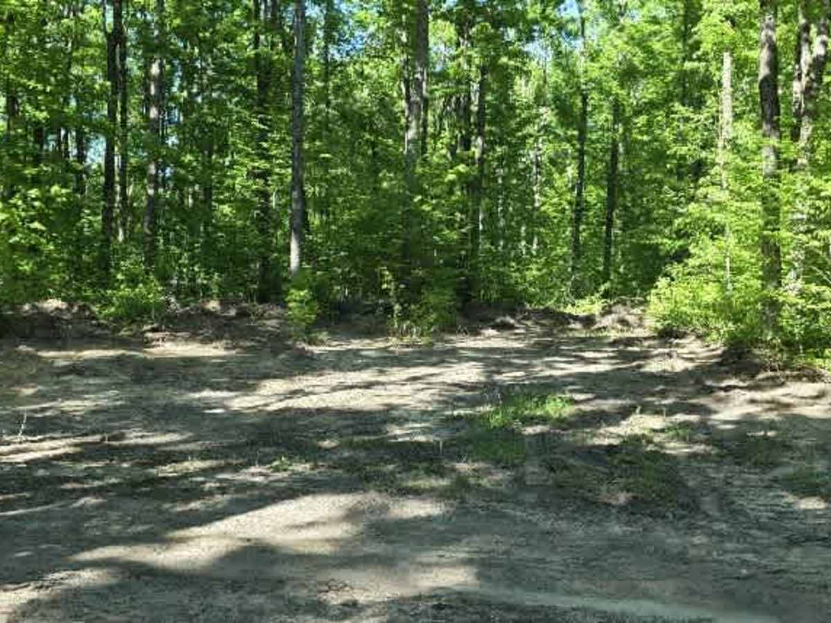
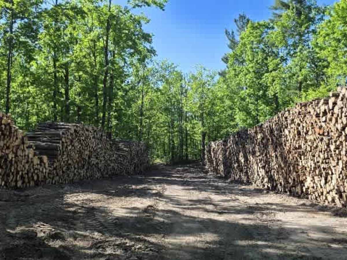
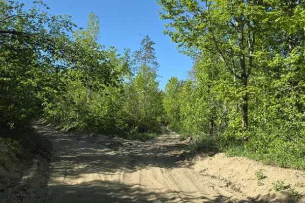
Backwoods Bypass branches off Wilderness Road and begins as a hard-packed dirt logging road winding through towering hardwoods and pines. During active logging operations, massive log walls line portions of the route, creating an impressive corridor through the forest. A large turnaround at the end of the logging section allows drivers to loop back onto the main trail.
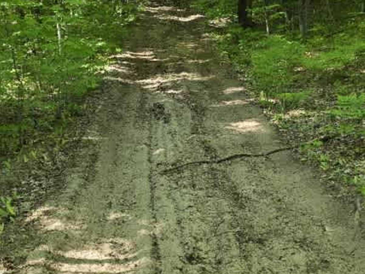
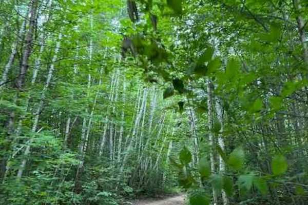
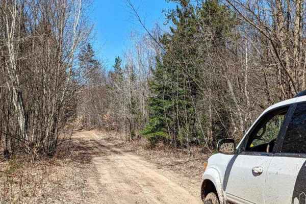
Once past the wider logging road, the trail narrows considerably. Expect plenty of branches under your tires and low-hanging limbs overhead, making pinstripes and light scratches nearly unavoidable. One of the most unique sections is cut directly into a hillside, with dirt walls rising on both sides and a rocky dirt base beneath your tires.
The trail climbs and descends a steep hill ranging from approximately 25 to 27 degrees before continuing through rolling terrain beneath a canopy of towering trees. Deep ruts are scattered throughout the route, many of them created by heavy logging equipment, adding an extra challenge during wet conditions.
This trail offers a mix of logging-road history, scenic forest views, and moderate off-road obstacles, making it a fun side trail for those looking to explore beyond the main routes.
Difficulty
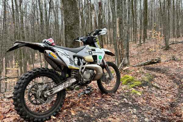
Giving this a 2 in the fact that there is nothing majorly difficult about this trail. It does get tight and has some steep hills, but in general, I don't think 4WD is necessary.