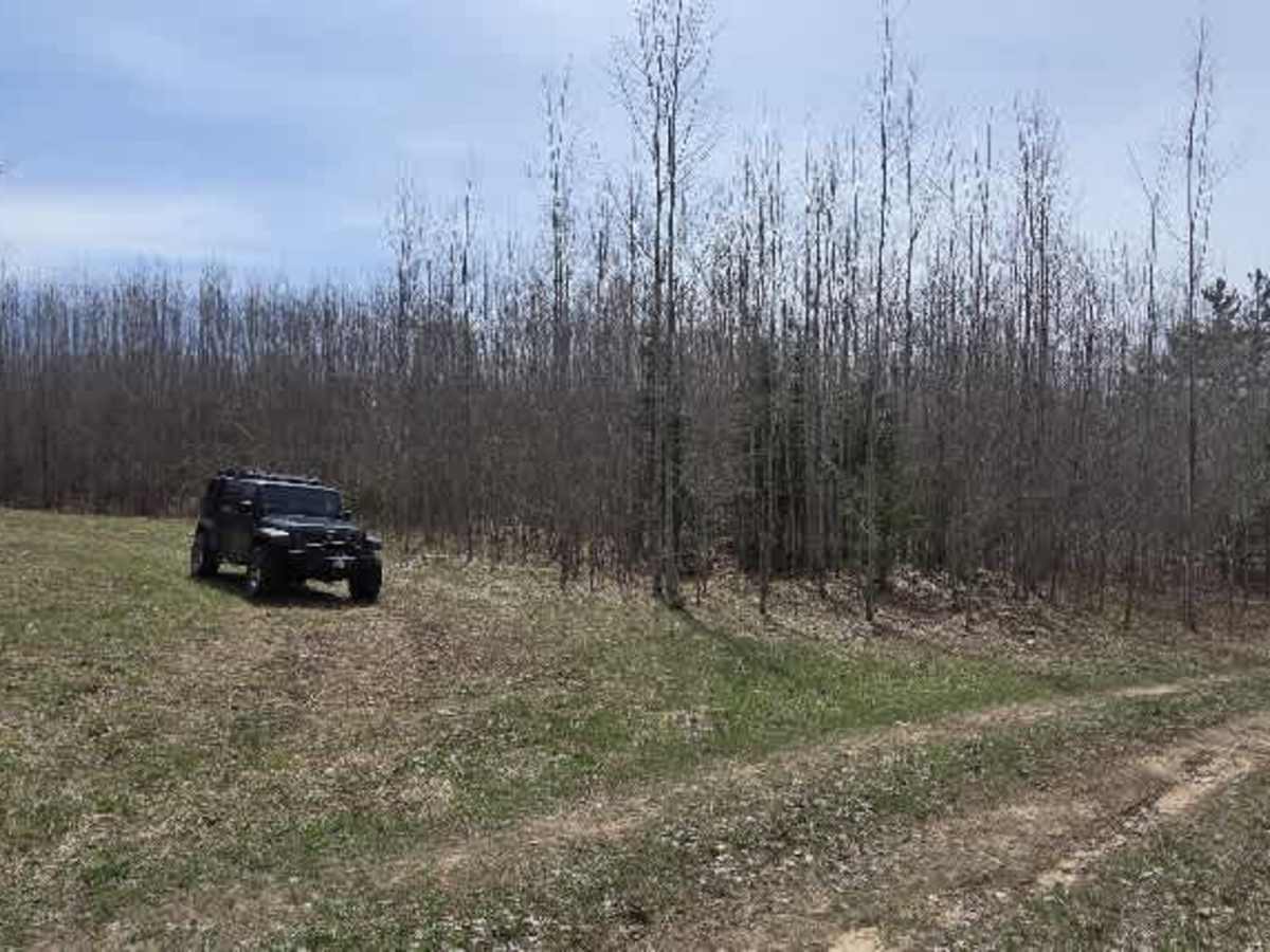
Trail Overview
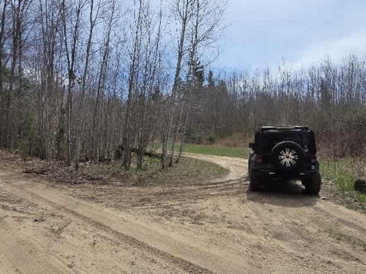
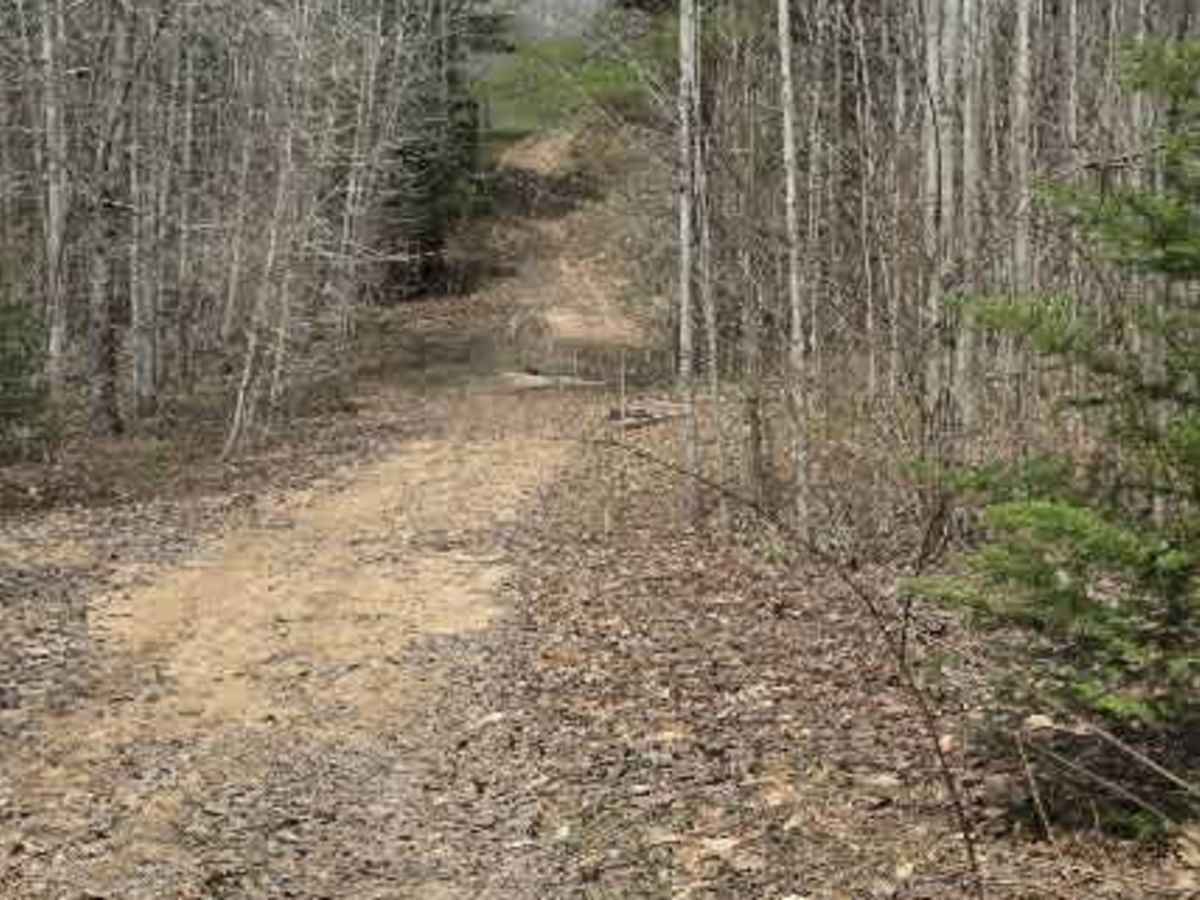
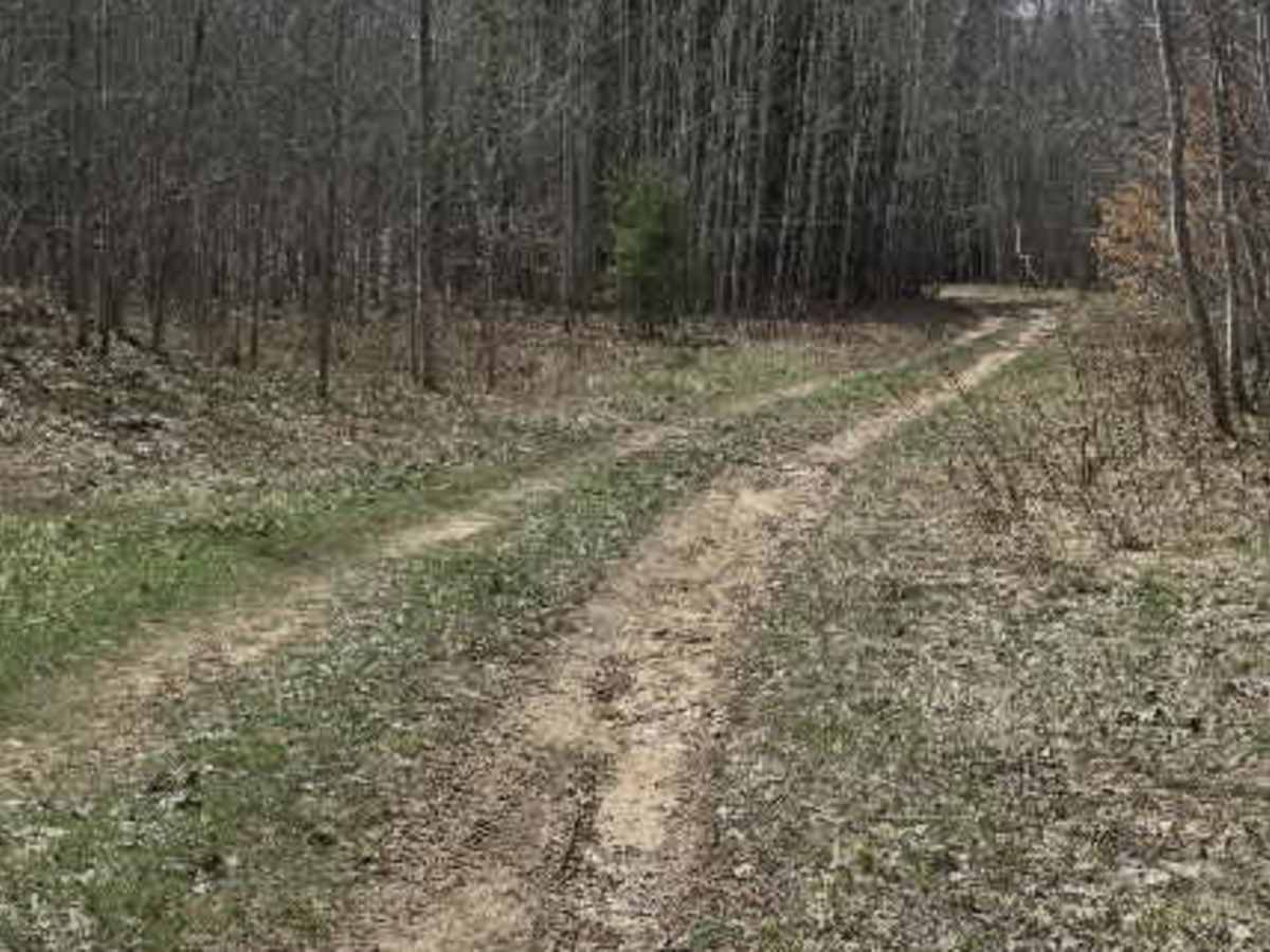
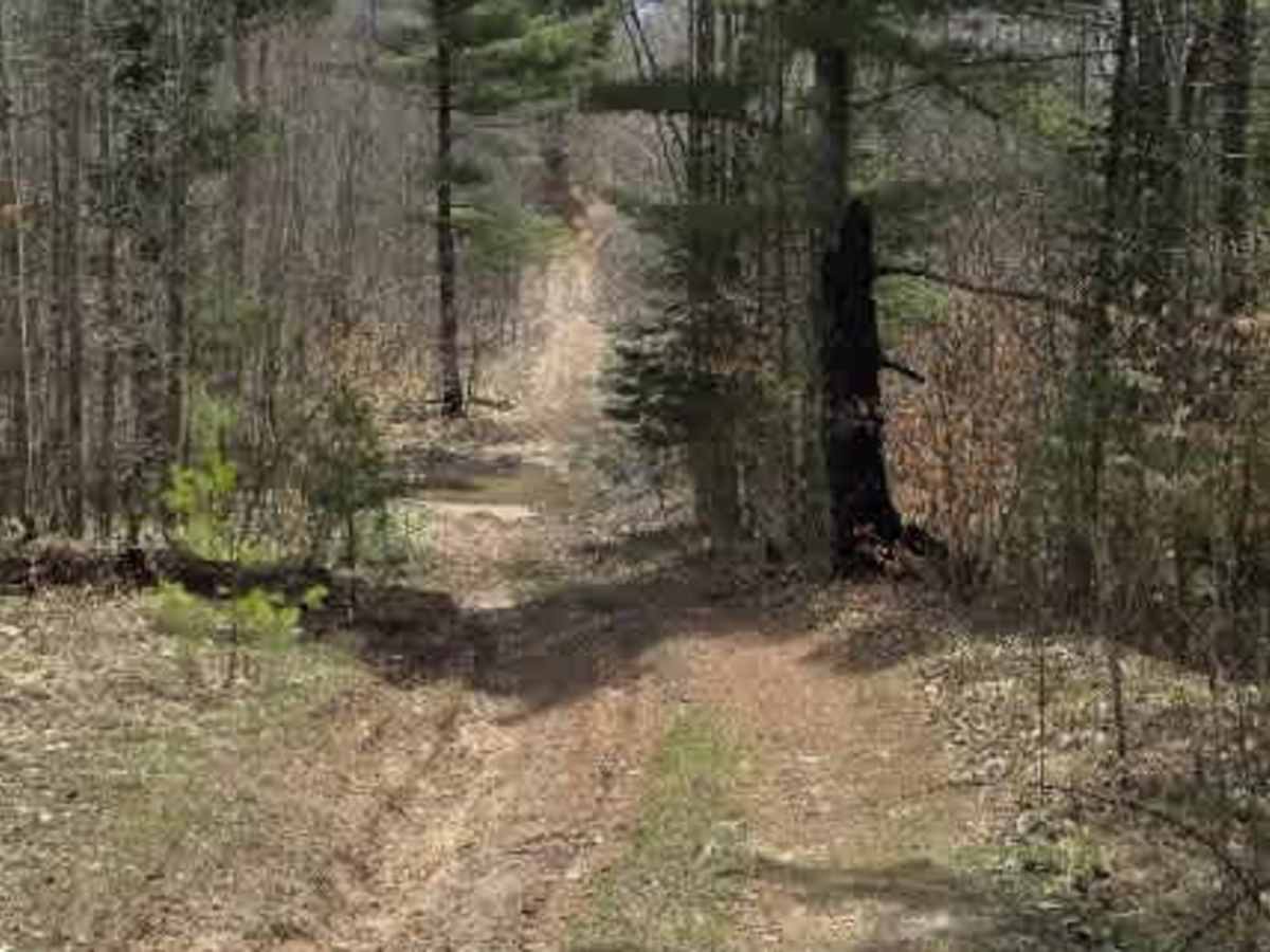
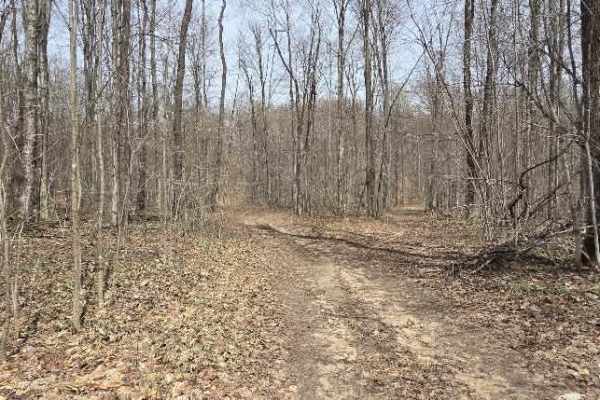
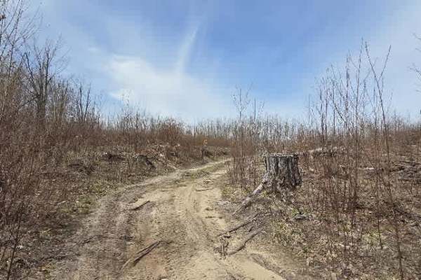
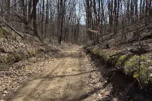
What starts with a modest entrance quickly proves it has plenty of character. This trail begins as a simple dirt and sand two-track, but don't let that fool you—it soon delivers a fun mix of terrain that keeps things interesting. Expect shallow ruts early on, generally under six inches, before the trail transitions into more technical sections featuring off-camber hills, deep off-camber ruts exceeding 12 inches, and several tight turns that will test your line choice.
Depending on recent weather, mudholes may develop along the route, adding another layer of adventure. High clearance and four-wheel drive are strongly recommended.
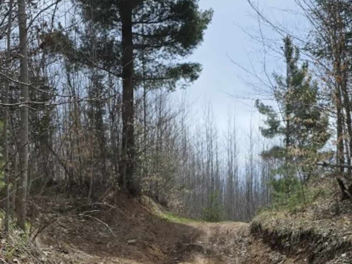
The north side of the loop offers a much more rugged and adventurous experience. Less frequently traveled, this section feels wilder and more remote, with the trail often blanketed in leaves and narrowed by thick overgrowth. Branches reach in from every direction—towering overhead, crowding in from the sides, and even springing up from the ground—making pinstripes almost unavoidable.
With convenient access from Holms Road, this trail is an excellent option for anyone looking for a short but engaging ride with enough obstacles to keep things exciting.
Difficulty
This Trail has a main spot on it where it has to be taken to get in and out, which will require 4WD. Ledges are 18" or more, while being off-camber with a very steep grade.