
Beginner Off-Road Trails
Near Walnut Cove, North Carolina
Explore All Beginner Trails Near Walnut Cove, North Carolina
Beginner Off-Road Trails Near Walnut Cove, North Carolina
Discover the best beginner-friendly off-road trails near you. These easier, lower-rated trails are a great place to start — browse trail maps, check difficulty ratings, and find your next adventure.
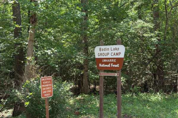
Kings Mountain Road - FS 597A
The trail is an easy, standard Forest Service road providing access to the Badin Lake campgrounds, group campgrounds, and recreation area. Most, if not all, of the Badin Lake campsites do not have power or water hookups; however, the grounds do feature a bathhouse, RV pump station, and lake access. ...
Learn more about Kings Mountain Road - FS 597A
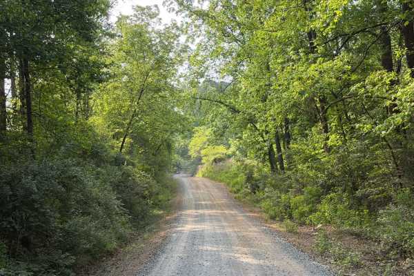
McLeans Creek - FS 544
McLeans Creek (FS 544) serves as the middle of three access routes to Uwharrie National Forest. While the majority of McLeans Creek proper features a paved surface, the westernmost mile quickly transitions into a gravel and hard-packed dirt forest service road. On Mullinix Road just before the inter...
Learn more about McLeans Creek - FS 544
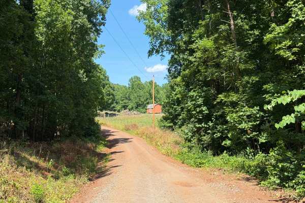
Badin Lake FS 597
Badin Lake FS 597 serves as the northernmost access road for Uwharrie National Forest, providing convenient entry to numerous primitive campgrounds, designated campsites, recreation areas, swim beaches, and OHV trails. While this dirt and gravel road is moderately maintained with occasional small ru...
Learn more about Badin Lake FS 597
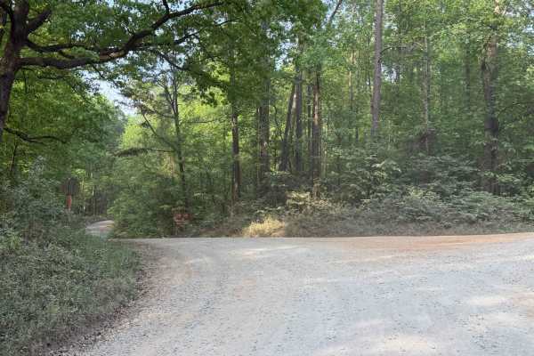
Dutch John - FS 553
Dutch John (FS 553) is a major Forest Service road providing direct access from the eastern national forest entrance, via Moccasin Creek (FS 576), to southeastern OHV trails such as Dickey Bell (FS 91), Falls Dam (FS 96), and Rocky Mount Loop (FS 92). This forest service road features small rocks, r...
Learn more about Dutch John - FS 553
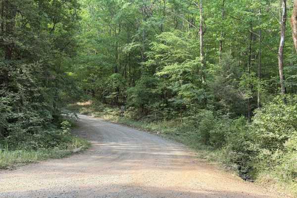
Cotton Place - FS 555
Cotton Place is a Forest Service road located within Uwharrie National Forest. It runs from Moccasin Creek (FS 576) to private property south of the national forest. The trail primarily provides access to the "front side" of Daniel (FS 390), the most challenging OHV area within Uwharrie National For...
Learn more about Cotton Place - FS 555
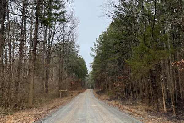
FS-576
FS-576 in Uwharrie National Forest, also known as Moccasin Cir, is a gravel road that splits the National Forest from east to west and dead-ends at the Deep Woods camp area. Along the way, there are several primitive campsites just off the road. Some of them have stunning views of Badin Lake just so...
Learn more about FS-576

Sawmill Trail 93
The Sawmill Trail is an easier trail through the forest. It features multiple short hill climbs that can be slightly off-camber, a few large puddles or stream crossings, and all-around good views of the forest. The trail is generally pretty easy and can offer a good area to begin on, with little pot...
Learn more about Sawmill Trail 93
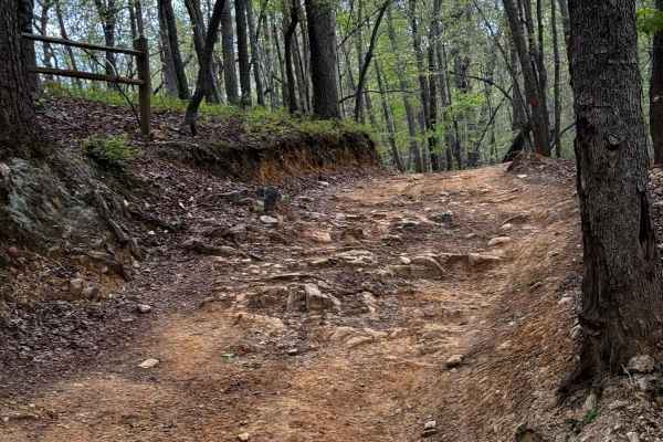
Slab Pile Trail 79
Slab Pile is a fun trail with off-camber portions, small hill climbs, ruts, and several optional challenges. Most of the trail is accessible to most vehicles with moderate ground clearance. Little to none of the main trail requires 4WD, but some of the optional lines and obstacles will likely requir...
Learn more about Slab Pile Trail 79
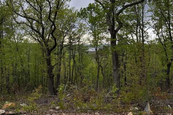
Lake View Trail 69
Lake View Trail is an easier trail offering great views of Uwharrie National Forest and Badin Lake. A view of Badin Lake can be seen about halfway through the trail. Most of the trail is an easy shelf road that winds along the hills and mountains of the forest. There are a few optional challenges th...
Learn more about Lake View Trail 69
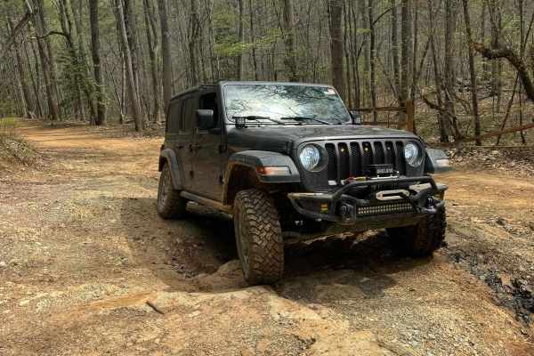
Falls Dam Trail 96
Falls Dam trail is another easier trail in Uwharrie National Forest. It has views of the forest humps and a few optional challenges. For the most part, the trail is a shelf road in the hills and can be done in most off-roading vehicles. Some optional challenges can be taken to add a little variety t...
Learn more about Falls Dam Trail 96
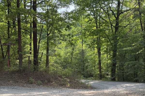
Green Gap - FS 6584
Green Gap (FS 6584) is a standard Forest Service road providing access to the southern end of Uwharrie National Forest and the south side of Dickey Bell (FS 91). Notably, this entrance of Dickey Bell is the closest access point to the popular hill climb portion. In addition to providing access to Fo...
Learn more about Green Gap - FS 6584
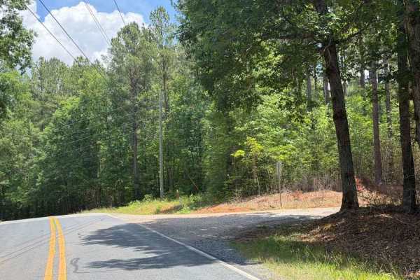
Dusty Level Rd
Dusty Level Rd is a county road comparable to many Forest Service roads in the area, providing access to less-established portions of Uwharrie National Forest while routing through some stretches of private property. The trail is generally easy, featuring a few potholes, mild ruts, and a couple of s...
Learn more about Dusty Level Rd
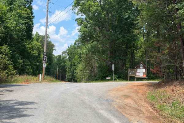
Dennis Road
The mapped portion denotes a split in Dennis Road providing access to the Uwharrie Game Lands and the Uwharrie River public fishing area. These unique areas are lesser-known than other designated game lands and fishing spots within Uwharrie National Forest, featuring dedicated parking areas, short w...
Learn more about Dennis Road
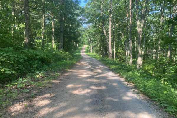
Iron Mountain
This road is fairly easy and should not require 4WD unless it is very wet. Wildlife is abundant including deer, grouse, and turkey. The side route to Comer's Rock provides a scenic overlook after a short hike. Much of the trail would have good views in the winter, but most of the views are blocked b...
Learn more about Iron Mountain
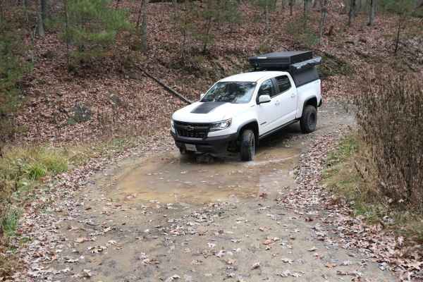
Pond Lick Road
This dirt track travels just north of Gatewood Reservoir. At just under 3 miles, it's a great quick run, or you can add to a route that includes some of the other local forest roads. There are a few ruts and mud holes, but nothing too extreme, and unless there was a lot of rain, it shouldn't be an i...
Learn more about Pond Lick Road
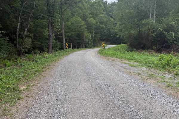
Dry Run
This mostly gravel road is fairly easy and does not require 4WD or significant ground clearance. This road appears to be used primarily for accessing horse camp sites, which are numerous. The largest horse camping area is the Hussy Mountain Horse Camp, which has a picnic area and restrooms. The road...
Learn more about Dry Run
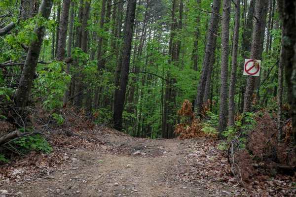
Shortcut
This shortcut provides a quick and efficient connection between the intermediate 1C OHV trail and the easy 1C OHV trail, also frequently used by dirt bikers on the 9C EXT single track. The trail is wide, with waterbars throughout the route, and features a steep ascent that gains 300 feet in just a t...
Learn more about Shortcut
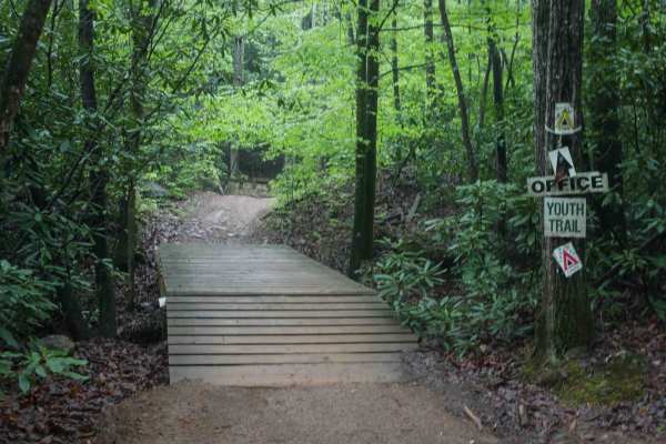
1C
This 1.4-mile off-road trail at Brushy Mountain Motorsports Park near Taylorsville, North Carolina, offers an easy, scenic ride for SxS vehicles, ATVs, and dirt bikes. Starting and ending at the main staging area, the loop features a gradual climb and descent under the pleasant cover of leafy ash an...
Learn more about 1C
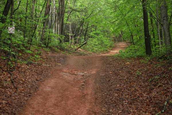
2C
Trail 2C at Brushy Mountain Motorsports Park is a 2.8-mile, easy SxS loop beginning and ending at the main staging area. Riders experience a gradual ascent for the first half, followed by a smooth descent, with one-way travel in a counterclockwise direction. The wide trail surface features mostly sm...
Learn more about 2C
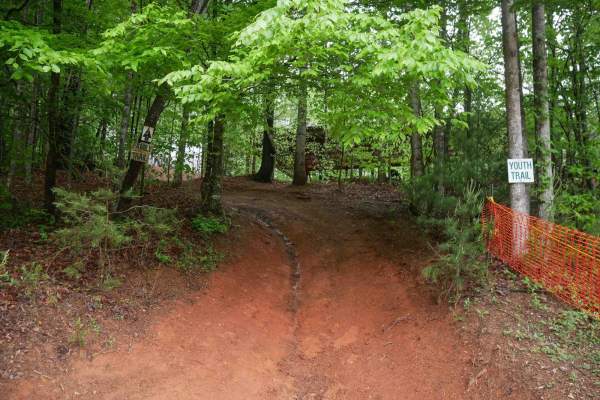
Youth Trail
The Youth Trail at Brushy Mountain Motorsports Park is a 2.1-mile loop starting and ending at the main staging area, featuring a gradual climb followed by a descent. The trail is wide, well-marked at intersections and shortcut points, and offers a very curvy, twisty ride. Riders will encounter small...
Learn more about Youth Trail
Beginner ATV trails near Walnut Cove, North Carolina
Explore ATV-friendly trails near you. These trails are accessible for vehicles up to 50 inches wide, perfect for ATVs and smaller off-road machines.
FS-576
FS-576 in Uwharrie National Forest, also known as Moccasin Cir, is a gravel road that splits the National Forest from east to west and dead-ends at the Deep Woods camp area. Along the way, there are several primitive campsites just off the road. Some of them have stunning views of Badin Lake just so...
Learn more about FS-576
Sawmill Trail 93
The Sawmill Trail is an easier trail through the forest. It features multiple short hill climbs that can be slightly off-camber, a few large puddles or stream crossings, and all-around good views of the forest. The trail is generally pretty easy and can offer a good area to begin on, with little pot...
Learn more about Sawmill Trail 93
Slab Pile Trail 79
Slab Pile is a fun trail with off-camber portions, small hill climbs, ruts, and several optional challenges. Most of the trail is accessible to most vehicles with moderate ground clearance. Little to none of the main trail requires 4WD, but some of the optional lines and obstacles will likely requir...
Learn more about Slab Pile Trail 79
Lake View Trail 69
Lake View Trail is an easier trail offering great views of Uwharrie National Forest and Badin Lake. A view of Badin Lake can be seen about halfway through the trail. Most of the trail is an easy shelf road that winds along the hills and mountains of the forest. There are a few optional challenges th...
Learn more about Lake View Trail 69
Beginner UTV/side-by-side trails near Walnut Cove, North Carolina
Find UTV and side-by-side trails near you. These trails accommodate vehicles up to 60 inches wide, ideal for UTVs, side-by-sides, and wider off-road rigs.
FS-576
FS-576 in Uwharrie National Forest, also known as Moccasin Cir, is a gravel road that splits the National Forest from east to west and dead-ends at the Deep Woods camp area. Along the way, there are several primitive campsites just off the road. Some of them have stunning views of Badin Lake just so...
Learn more about FS-576
Sawmill Trail 93
The Sawmill Trail is an easier trail through the forest. It features multiple short hill climbs that can be slightly off-camber, a few large puddles or stream crossings, and all-around good views of the forest. The trail is generally pretty easy and can offer a good area to begin on, with little pot...
Learn more about Sawmill Trail 93
Slab Pile Trail 79
Slab Pile is a fun trail with off-camber portions, small hill climbs, ruts, and several optional challenges. Most of the trail is accessible to most vehicles with moderate ground clearance. Little to none of the main trail requires 4WD, but some of the optional lines and obstacles will likely requir...
Learn more about Slab Pile Trail 79
Lake View Trail 69
Lake View Trail is an easier trail offering great views of Uwharrie National Forest and Badin Lake. A view of Badin Lake can be seen about halfway through the trail. Most of the trail is an easy shelf road that winds along the hills and mountains of the forest. There are a few optional challenges th...
Learn more about Lake View Trail 69
The onX Offroad Difference
onX Offroad combines trail photos, descriptions, difficulty ratings, width restrictions, seasonality, and more in a user-friendly interface. Available on all devices, with offline access and full compatibility with CarPlay and Android Auto. Discover what you're missing today!
Open Trail Map