Trail Overview
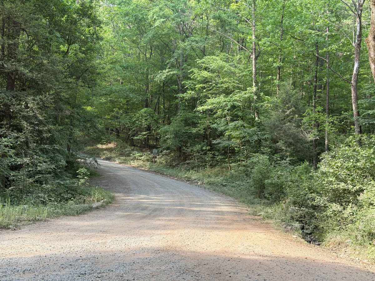
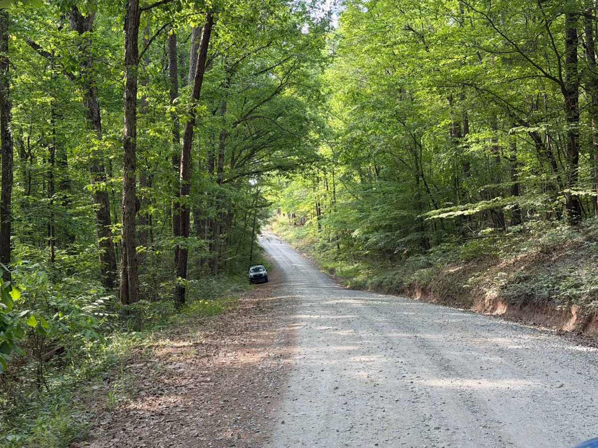
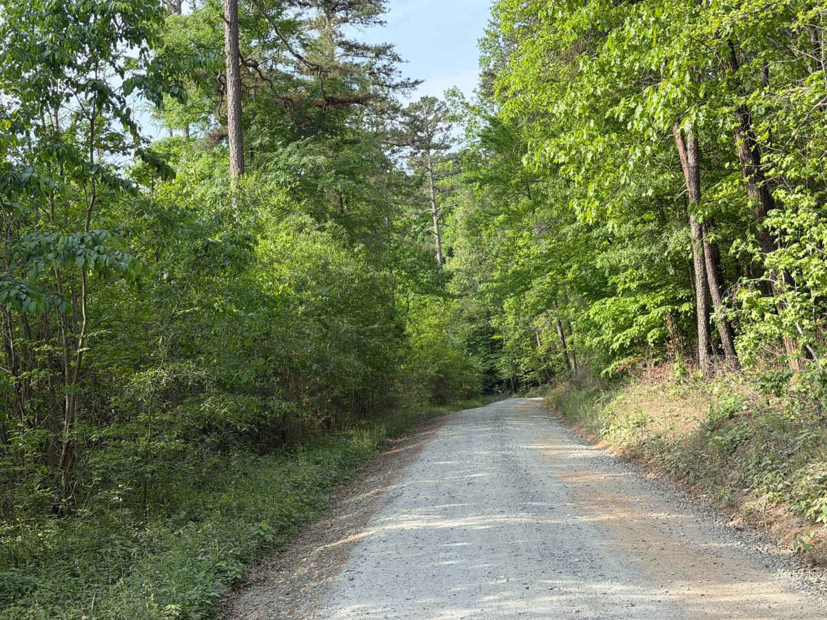
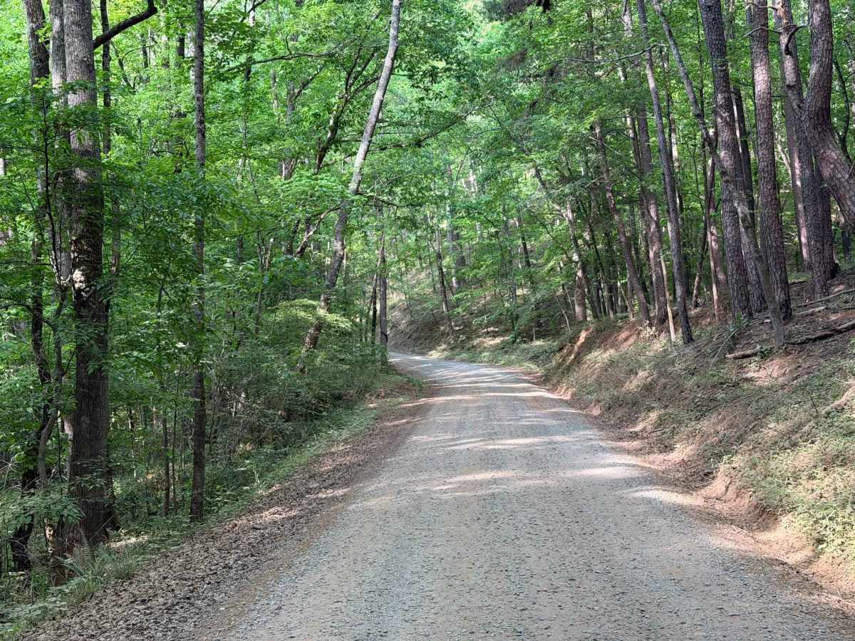
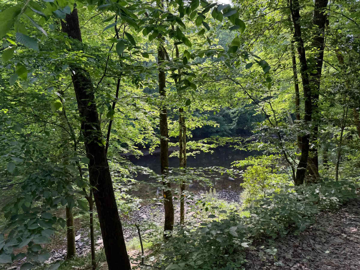
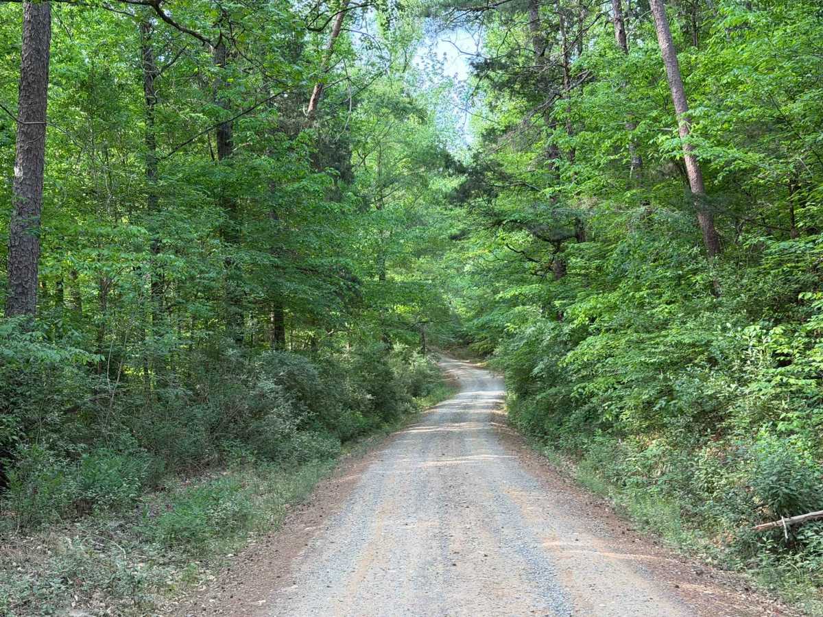
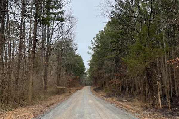
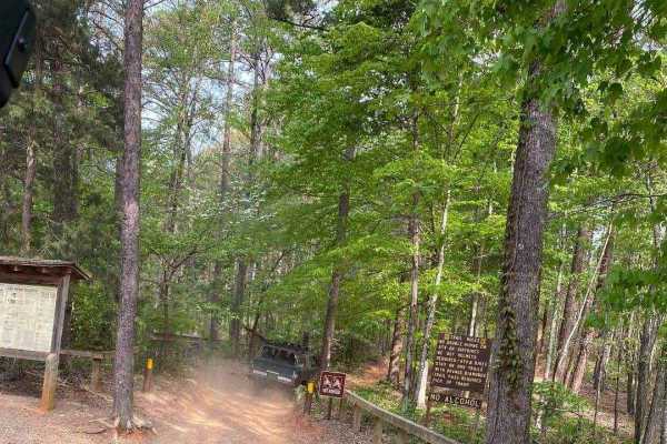
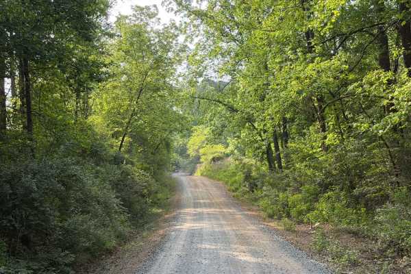
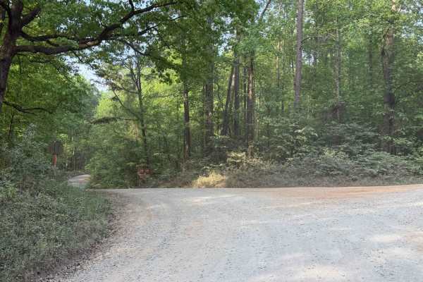
Cotton Place is a Forest Service road located within Uwharrie National Forest. It runs from Moccasin Creek (FS 576) to private property south of the national forest. The trail primarily provides access to the "front side" of Daniel (FS 390), the most challenging OHV area within Uwharrie National Forest. The road is well-maintained and gravel-packed, with only minor ruts and potholes. While generally easy to navigate, mild ground clearance is recommended due to loose rocks and debris. Portions of the trail run along the Uwharrie River, featuring small trailside access points. Although there are no designated pull-offs, the Cotton Place trailhead for Daniel, located midway through the trail, provides river access. While the trail can be driven quickly, remain cautious of other vehicles, hikers, animals, and blind corners, which can present unforeseen hazards. This road is open year-round; however, the Uwharrie OHV area closes annually from December 15 to April 1.
Difficulty
The trail is a standard, wide, Forest Service road that is generally well-maintained, with only minimal ruts, potholes, or obstructions. While some loose rocks and debris may be present, they—along with any ruts—are generally no larger than a couple of inches, making the trail accessible to the majority of vehicles. Some narrow sections may be present, making passing vehicles difficult due to large ditches along the road; however, wider passing areas are frequent along the trail.