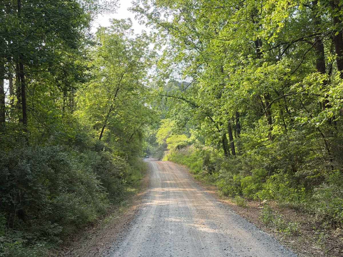
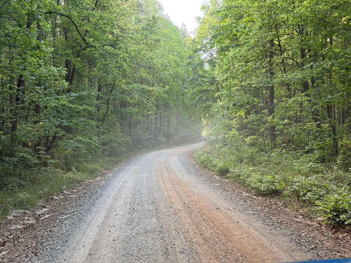
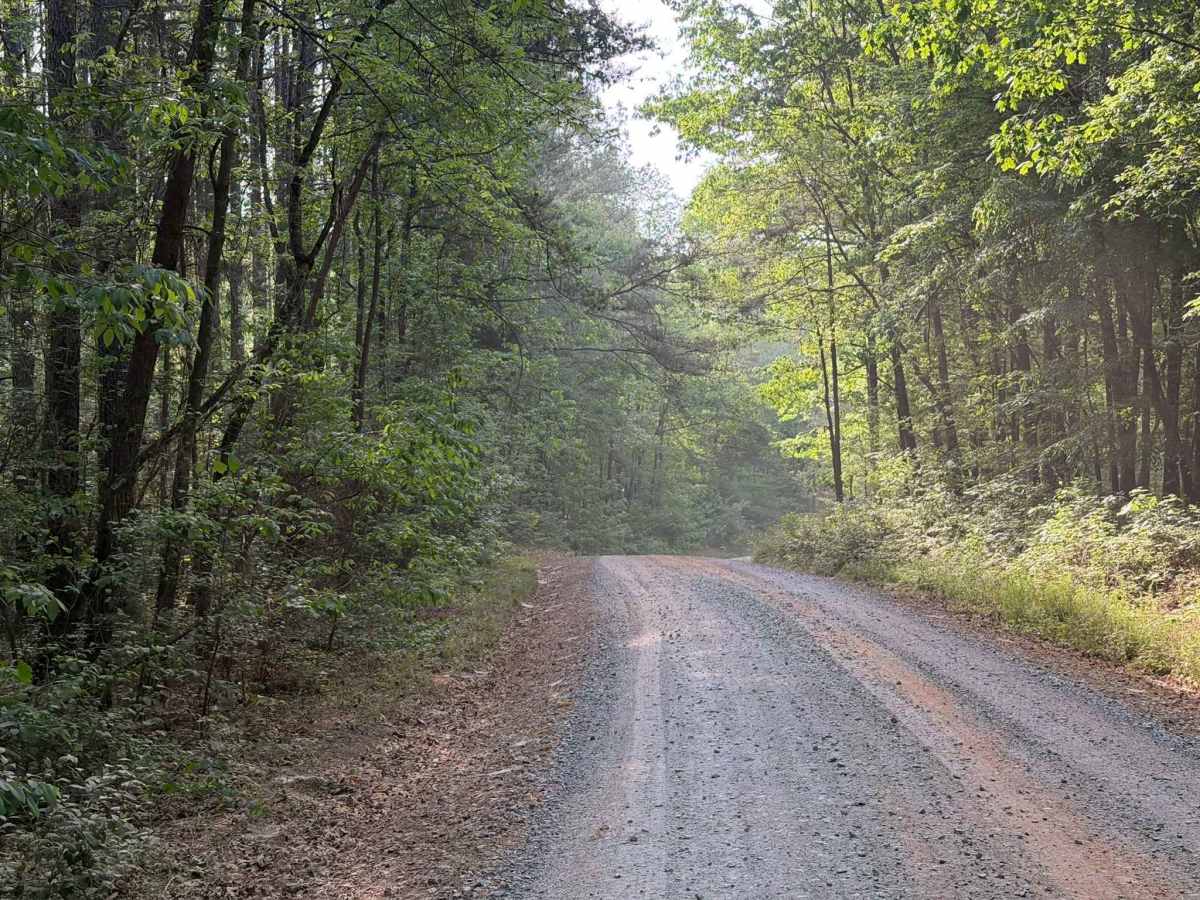
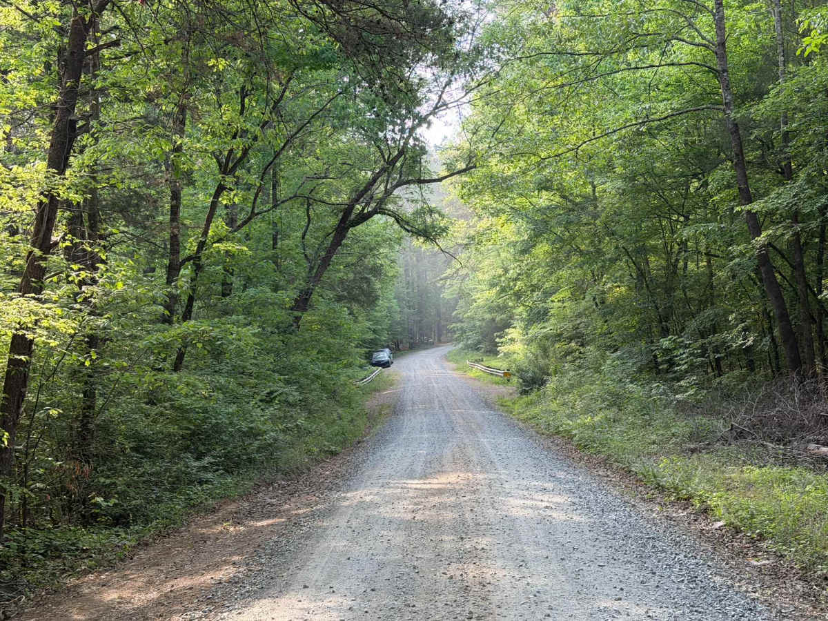
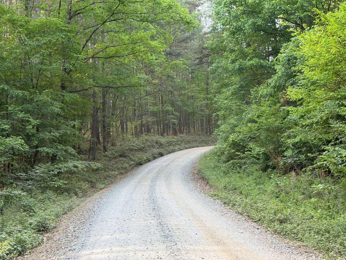
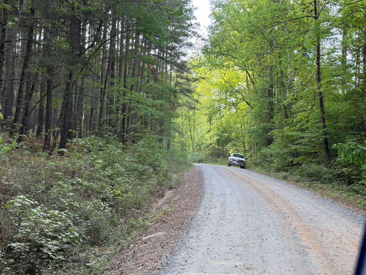
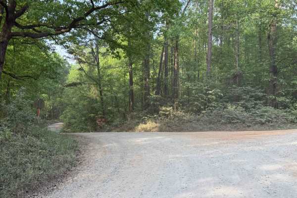
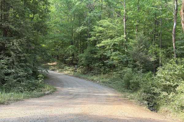
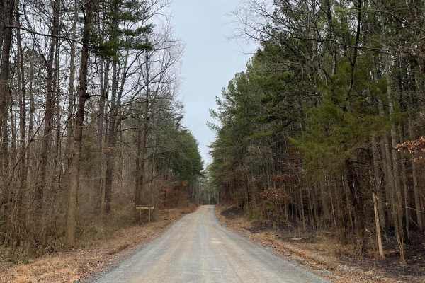
Trail Overview
McLeans Creek (FS 544) serves as the middle of three access routes to Uwharrie National Forest. While the majority of McLeans Creek proper features a paved surface, the westernmost mile quickly transitions into a gravel and hard-packed dirt forest service road. On Mullinix Road just before the intersection with McLeans Creek, the horse camp and trailhead are present, resulting in numerous horse trail crossings and frequent traffic along the route. McLeans Creek runs directly between Badin Lake (FS 597) and Moccasin Creek (FS 576). Along the way, a couple of small primitive campsites offer convenient pull-off parking along the main road. Notably, this trail remains open to provide access to the national forest year-round, despite the neighboring OHV trails being closed from December 15 to April 1.
Difficulty
The trail is a standard, easy Forest Service road featuring only mild ruts and potholes, though there is an inherent risk of debris and loose rocks along the route. If narrow sections are encountered, they are generally still wide enough for two vehicles to pass each other with minimal difficulty and little to no risk with the roadside ditch.