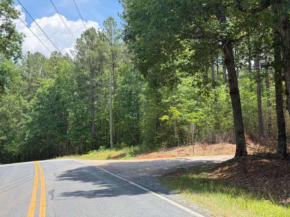
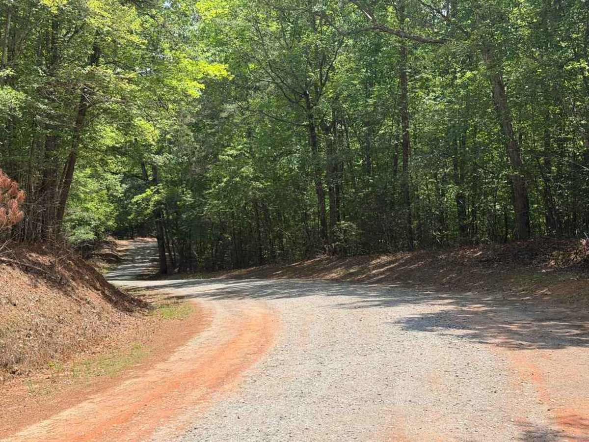
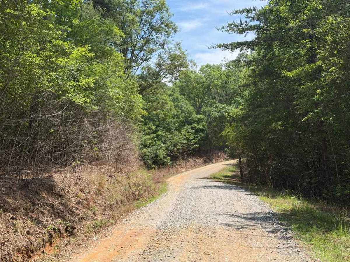
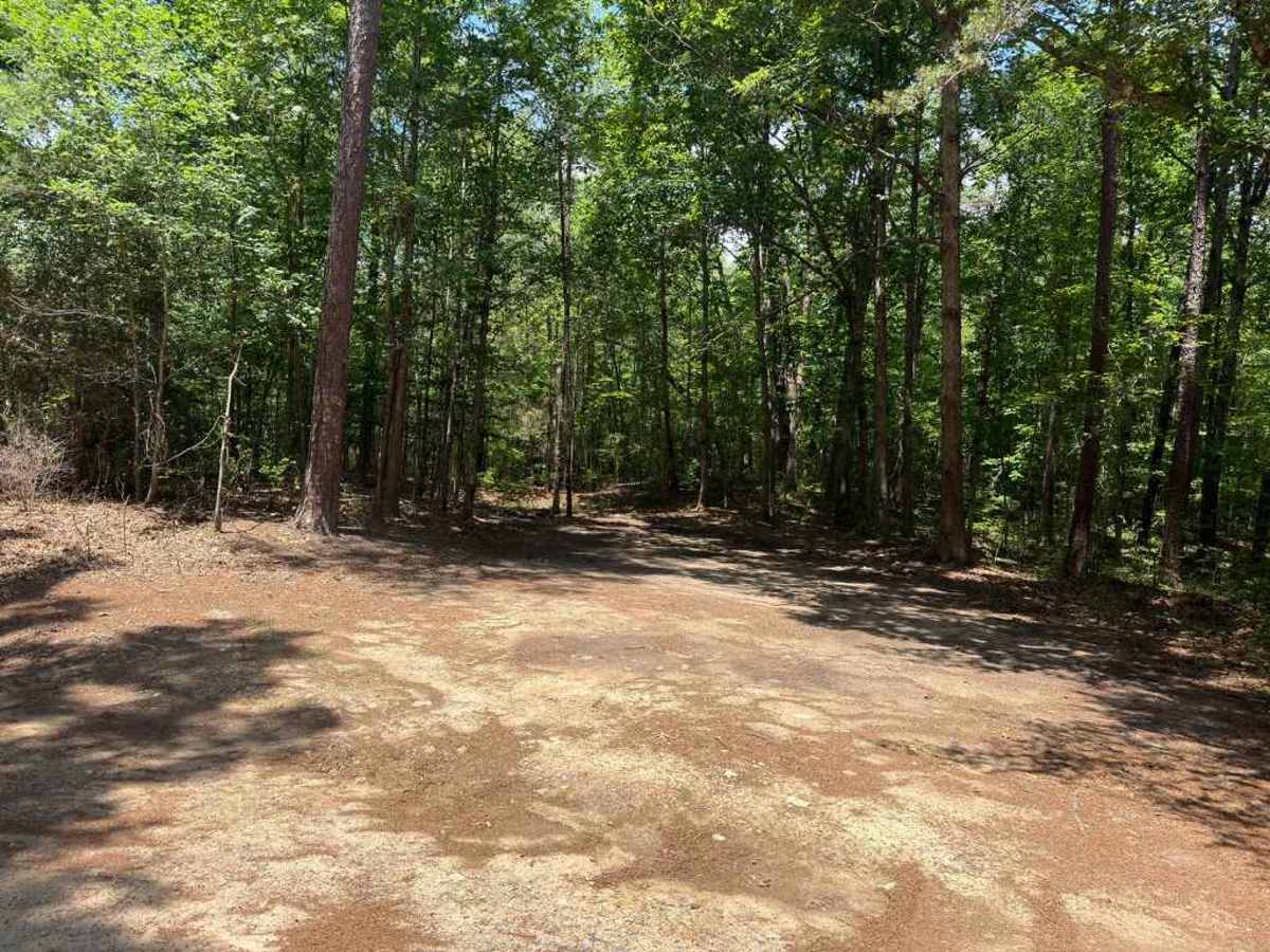
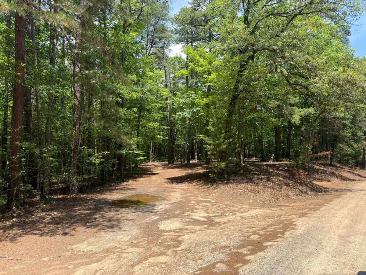
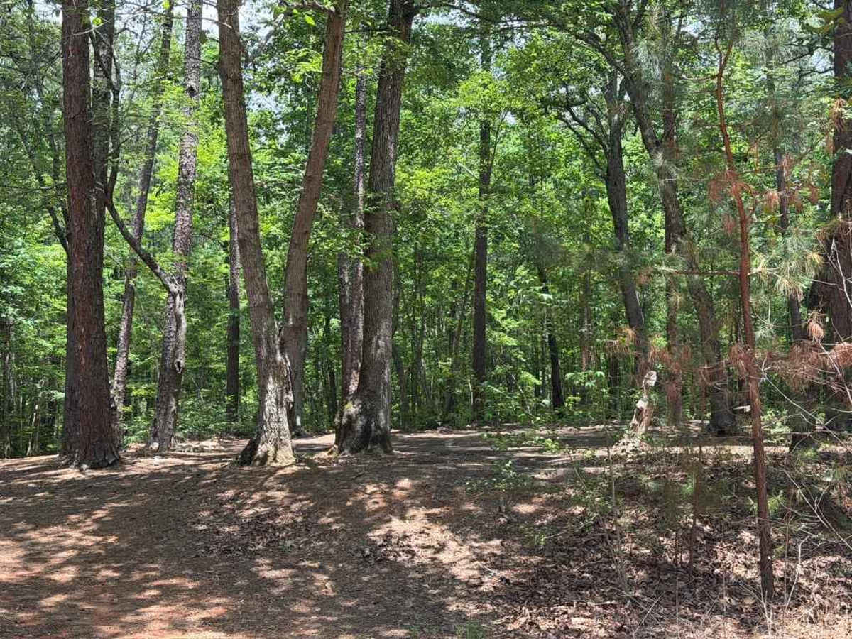
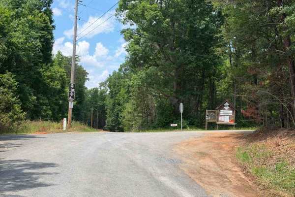
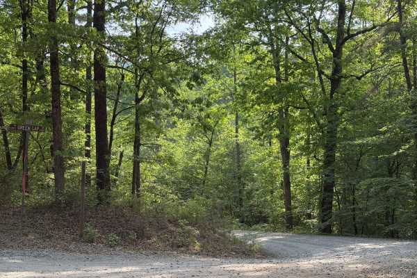
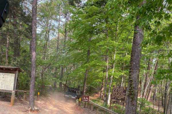
Trail Overview
Dusty Level Rd is a county road comparable to many Forest Service roads in the area, providing access to less-established portions of Uwharrie National Forest while routing through some stretches of private property. The trail is generally easy, featuring a few potholes, mild ruts, and a couple of small, optional mud pits located at the entrances of various campsites. Numerous primitive campsites are scattered throughout the route, alongside Yates Place Campground, a designated national forest campground featuring a few developed tent sites. The primitive sites outside of Yates Place appear to feature picnic tables and fire rings, and they can comfortably accommodate up to five vehicles. While the route is straightforward and can be driven rather quickly, drivers should remain cautious of narrower sections, blind corners, and frequent oncoming vehicle traffic.
Difficulty
The trail is a easy county service road that is very comparable to most forest service roads along the route are a few potholes and ruts that may require attention for vehicle vehicles with low ground clearance. Additionally, a few of the campsites along the trail do you have shallow puddles, and mud pits depending on recent rain, though these are not required to go through unless accessing the campsite.