Trail Overview
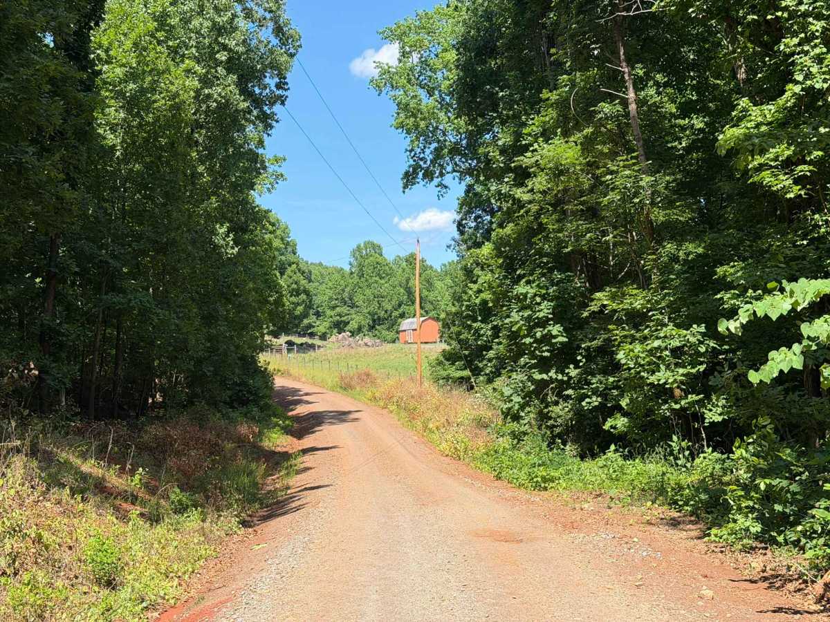
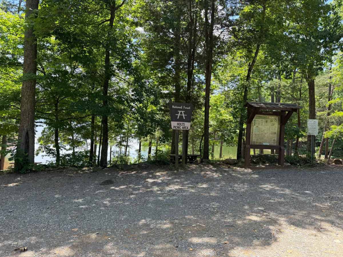
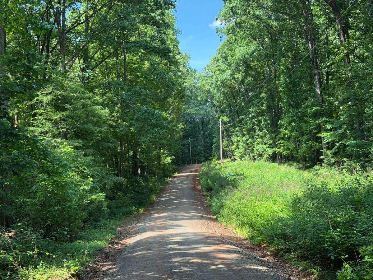
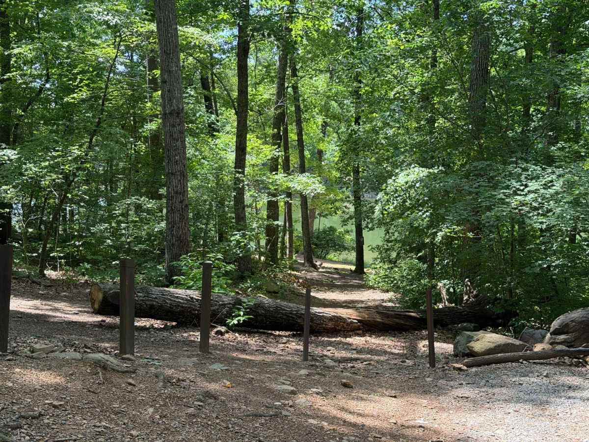
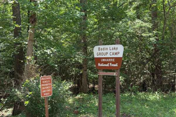
Badin Lake FS 597 serves as the northernmost access road for Uwharrie National Forest, providing convenient entry to numerous primitive campgrounds, designated campsites, recreation areas, swim beaches, and OHV trails. While this dirt and gravel road is moderately maintained with occasional small ruts and bumps, it remains generally accessible for the majority of standard passenger vehicles. Along the route, visitors will find Arrowhead Campground and the Badin Lake camp ground and recreation area, both featuring developed campsites, RV hookups, bathhouses, and a boat launch. In addition to these designated options, primitive campsites are scattered along the road—some offer direct drive-in spots, while others require parking on the shoulder and tenting a short distance away. A few hiking trails and beach access points also intersect the route, alongside various public and private offshoot roads.
Difficulty
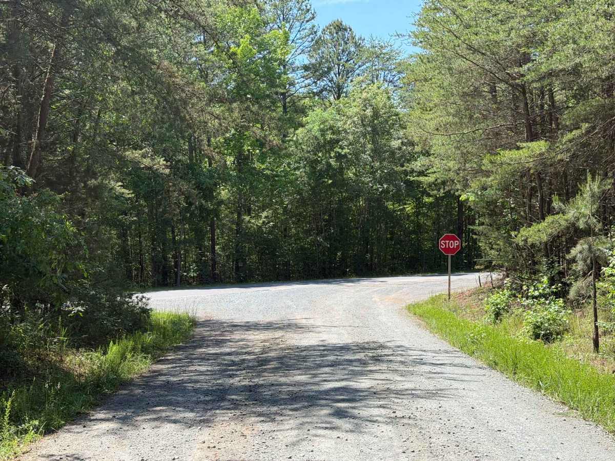
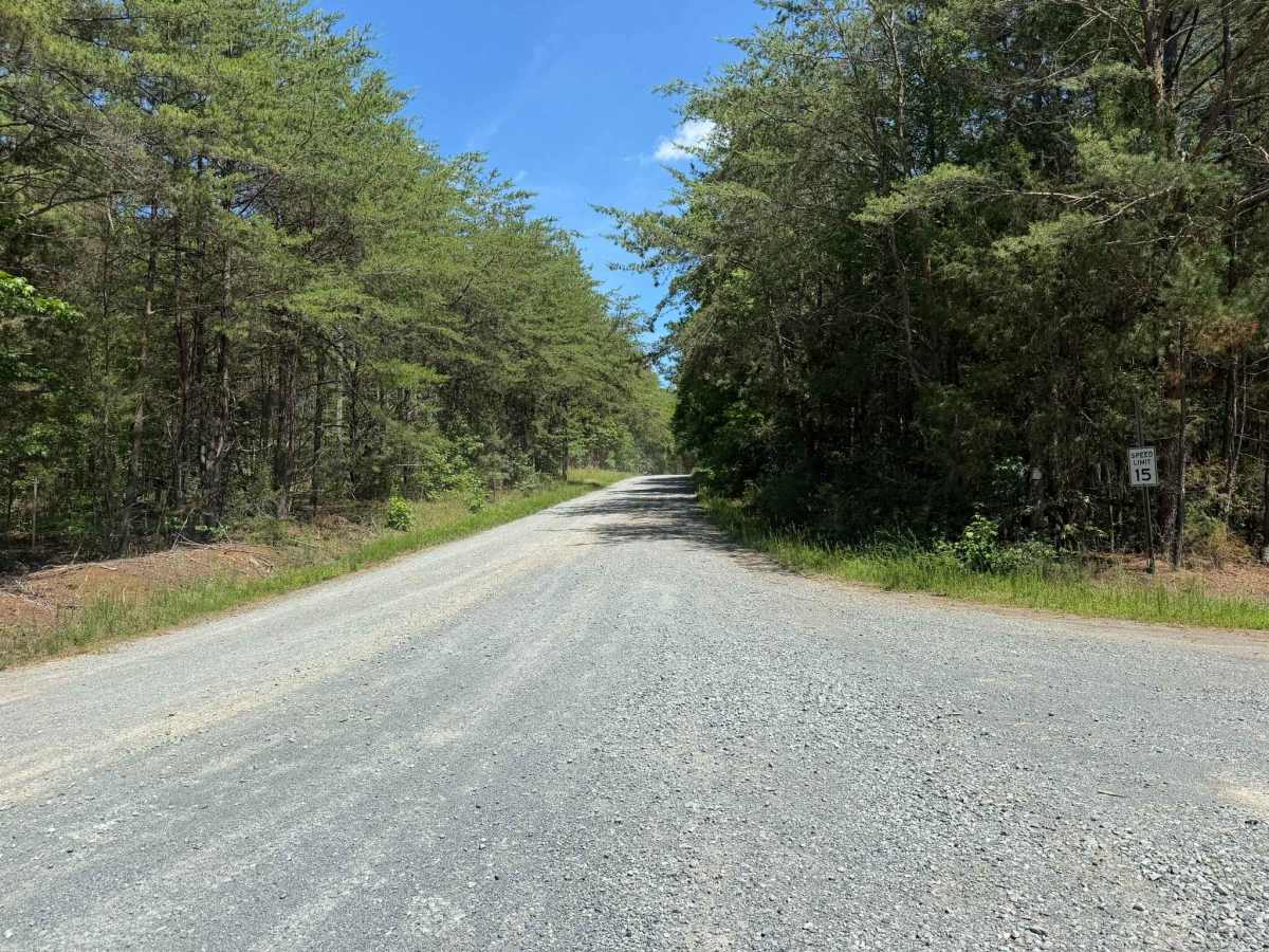
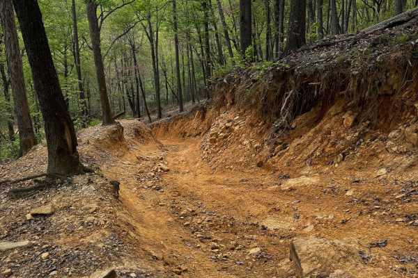
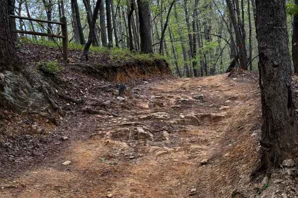
The trail is an easy, standard forest service road, with the only challenge being a few small ruts and potholes that are no larger than a couple of inches deep. A few narrow sections of the trail may exist; however, these are generally wide enough for two vehicles to pass without too much concern. Blind corners are common and should be taken cautiously due to large amounts of vehicle traffic.