
Beginner Off-Road Trails
Near Nellysford, Virginia
Explore All Beginner Trails Near Nellysford, Virginia
Beginner Off-Road Trails Near Nellysford, Virginia
Discover the best beginner-friendly off-road trails near you. These easier, lower-rated trails are a great place to start — browse trail maps, check difficulty ratings, and find your next adventure.

Howardsville Turnpike
State Route 610 or Howardsville Turnpike is an easy and beautiful connector trail going up to the scenic Blue Ridge Parkway. This route is great if you are looking for an alternate way up to the parkway to access great hikes such as Humpback Rocks, or going down to get to the Sherando Lake Recreatio...
Learn more about Howardsville Turnpike
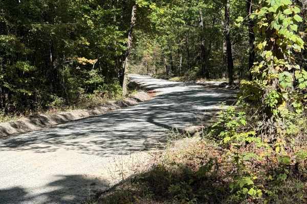
Tuckaho
Tuckaho Road is a short, 0.9-mile gravel road managed by the U.S. Forest Service within George Washington National Forest. The surface is smooth and well-maintained, suitable for full-width 4×4 vehicles, high-clearance rigs, SxS, ATVs, dirt bikes, and even non-4x4 vehicles. There are no major obstac...
Learn more about Tuckaho
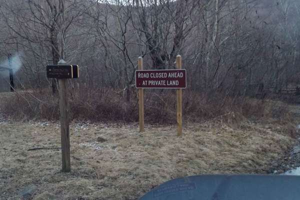
Crabtree Meadows
Crabtree Meadows is a scenic 5.1-mile point-to-point offroad trail in Virginia's George Washington National Forest that is ideal for stock high-clearance four-wheel-drive vehicles, SxSs, and dual-sport motorcycles looking for a mix of gravel and rocky terrain. Starting from State Route 56, the route...
Learn more about Crabtree Meadows
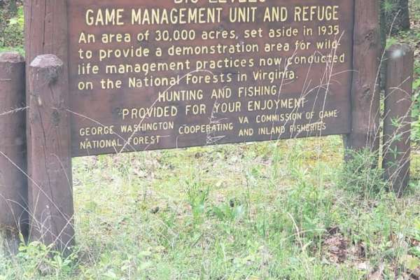
Coal Road
Coal Road is an easy, scenic 13.3-mile forest service corridor in the George Washington National Forest, perfect for beginners, scenic drivers, and recreationists seeking access to nearby trailheads. This well-maintained route features a mix of asphalt on both ends and graded gravel throughout the m...
Learn more about Coal Road
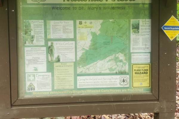
St. Mary's
St. Mary's Road is a trail leading to the parking area for the St. Mary's Wilderness area. It is a short gravel forest road with little to no cell service and a large trailhead parking lot at the end. One vehicle-accessible campsite is located just before the parking lot along the creek, and another...
Learn more about St. Mary's
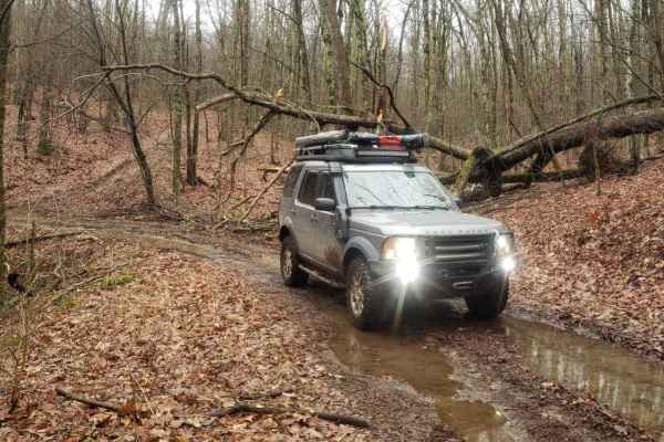
Greasy Springs
Greasy Springs is a scenic and moderately challenging 4.5-mile out-and-back trail in Virginia's George Washington National Forest, perfect for four-wheel-drive vehicles and SxSs looking to access the Appalachian Trail. Originating off Rocky Mountain Towers Road, this narrow, single-width two-track r...
Learn more about Greasy Springs
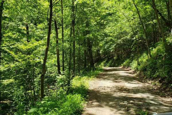
Big Mary
Big Mary is an easy-going 2.9-mile gravel forest service road in the George Washington National Forest, perfect for novice offroaders, scenic drivers, and outdoor enthusiasts looking to explore the beautiful Appalachian backcountry. Following the scenic corridor of Big Mary Creek, this trail feature...
Learn more about Big Mary
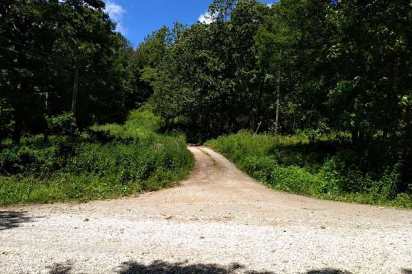
FR1176
FR1176, also known as Rocky Mountain Road, is an ideal route for offroaders seeking a short but scenic mountain climb that leads to impressive high-elevation vistas in the George Washington and Jefferson National Forests. Beginning at Salt Log Gap at an elevation of 3,235 feet, this 1.7-mile trail a...
Learn more about FR1176
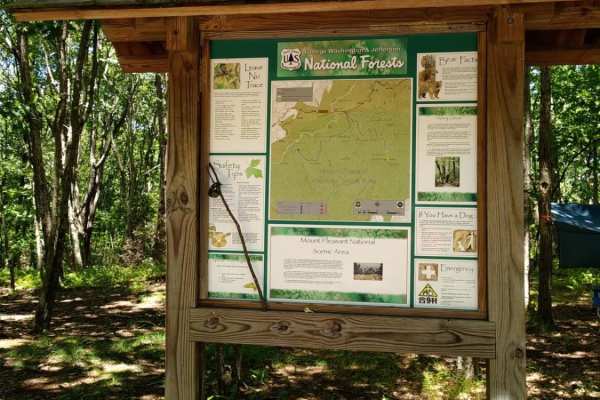
FR51-AT
This short offshoot from Hog Camp Trail leads to the Mount Pleasant Scenic Area with opportunities for hiking and camping.
Learn more about FR51-AT
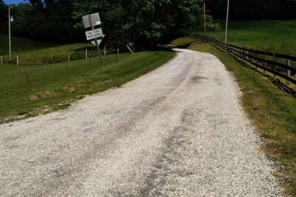
Big Piney
Big Piney is a gravel road passing through a portion of the George Washington National Forest, offering access to hiking, camping and swimming. The trail is rocky and typically unmaintained after rain or snow. You may encounter shallow water crossings and obstacles under 12" on the trail, including ...
Learn more about Big Piney
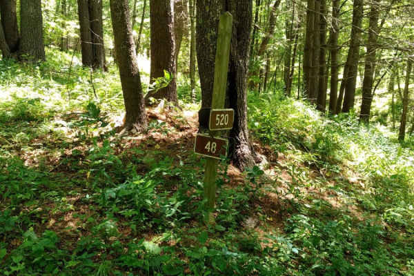
Hog Camp
Hog Camp Road is a scenic 5.8-mile mountain route through the George Washington National Forest, perfect for stock four-wheel-drive vehicles, high-clearance SUVs, and SxSs looking for high-elevation access. Climbing over 1,200 feet from a minimum elevation of 2,465 feet up to a peak of 3,505 feet, t...
Learn more about Hog Camp
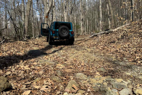
Browns Gap Turnpike
Browns Gap Turnpike, also known as Route 629, is a dead‑end route that terminates at Shenandoah National Park. The route begins as a maintained gravel driveway for roughly the first 10 percent of the trail, with difficulty increasing to about 2/10 due to washouts and channels approximately 6 inches ...
Learn more about Browns Gap Turnpike
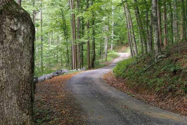
Jordan Road
This forest road climbs 3.6 miles from the free campground at Oronoco, in the George Washington National Forest near the Mount Pleasant Scenic Area, gaining about 950 feet on the way up toward the Blue Ridge Parkway. It runs single-wide for the entire route through beautiful hardwood forest, with a ...
Learn more about Jordan Road
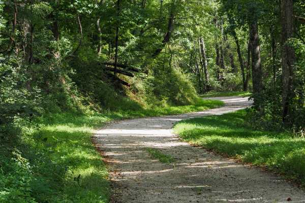
Mount Horeb Road
Mount Horeb Road climbs away from US 60 outside Amherst, offering a quieter alternative route toward Long Mountain Wayside when you'd rather not follow a slow truck up the highway. It starts on pavement through open farmland, passing a handful of houses and crossing a one-lane bridge, before switchi...
Learn more about Mount Horeb Road
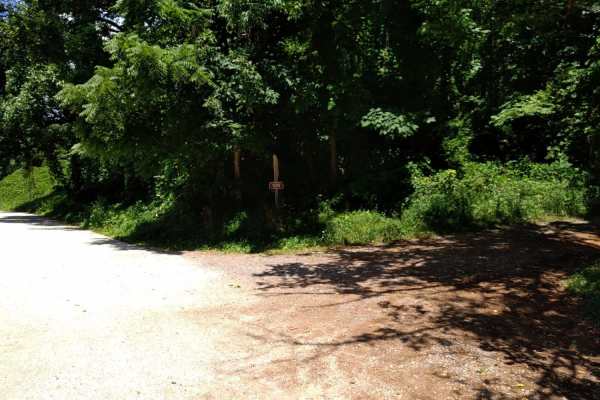
Cow Camp Road
Cow Camp Road is an inviting mountain route in the George Washington National Forest that offers offroaders of all skill levels a gentle climb through scenic hardwood forests and quick access to famous Blue Ridge hiking trails. Spanning approximately 3.4 miles, this unpaved forest road ascends the s...
Learn more about Cow Camp Road
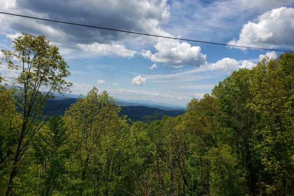
Little North Mountain WMA
Little North Mountain WMA has a mix of seasonally open routes that all dead-end eventually. This route includes a scenic, lightly maintained state road to access the area. The roads are marginally maintained gravel with some small mud holes and stream crossings. Be aware that all Virginia WMAs requi...
Learn more about Little North Mountain WMA
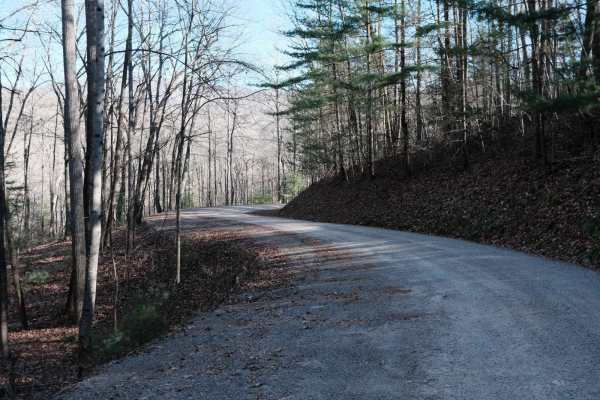
Shady Mountain Road
The northern end of Shady Mountain Road starts just east of the Blue Ridge Parkway near the town of Buena Vista. It travels mostly south towards the Lynchburg Reservoir for 7.5 miles. Along the route, there are a few campsites. Some are along spur trails, and a few near the southern terminus are jus...
Learn more about Shady Mountain Road
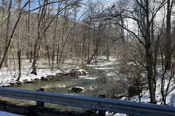
Swapping Camp
This trail is mostly graded gravel, with some dirt and a few rocky sections. There are multiple water features, small waterfalls along the trail, one-lane bridges, and scenic waysides. There are dispersed campsites in abundance in the area, and the trailhead to the Appalachian Trail is on Swapping C...
Learn more about Swapping Camp
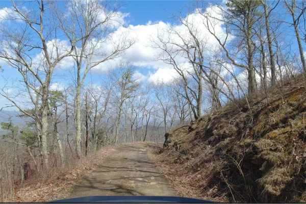
Hite Hollow
Hite Hollow is located in the George Washington National Forest, west of Staunton, VA. It's a basic trail that offers outstanding views of the surrounding area. The trail is mainly rock and dirt and has several switchbacks that take you up the ridge line. Many of these switchbacks offer stunning vie...
Learn more about Hite Hollow
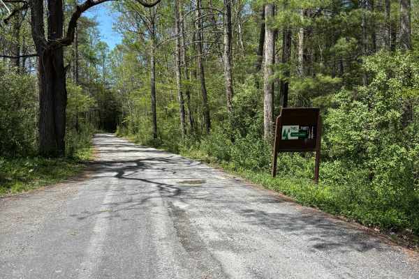
Hite Hollow
Hite Hollow is a well-maintained 9.5-mile gravel road located in the George Washington National Forest, west of Staunton, VA. It offers great views and alternates between rocky and smooth gravel as it climbs and switchbacks through the forest. There are dispersed camping options, but little to no ...
Learn more about Hite Hollow
Beginner ATV trails near Nellysford, Virginia
Explore ATV-friendly trails near you. These trails are accessible for vehicles up to 50 inches wide, perfect for ATVs and smaller off-road machines.
Tuckaho
Tuckaho Road is a short, 0.9-mile gravel road managed by the U.S. Forest Service within George Washington National Forest. The surface is smooth and well-maintained, suitable for full-width 4×4 vehicles, high-clearance rigs, SxS, ATVs, dirt bikes, and even non-4x4 vehicles. There are no major obstac...
Learn more about Tuckaho
FR1176
FR1176, also known as Rocky Mountain Road, is an ideal route for offroaders seeking a short but scenic mountain climb that leads to impressive high-elevation vistas in the George Washington and Jefferson National Forests. Beginning at Salt Log Gap at an elevation of 3,235 feet, this 1.7-mile trail a...
Learn more about FR1176
FR51-AT
This short offshoot from Hog Camp Trail leads to the Mount Pleasant Scenic Area with opportunities for hiking and camping.
Learn more about FR51-AT
Big Piney
Big Piney is a gravel road passing through a portion of the George Washington National Forest, offering access to hiking, camping and swimming. The trail is rocky and typically unmaintained after rain or snow. You may encounter shallow water crossings and obstacles under 12" on the trail, including ...
Learn more about Big Piney
Beginner UTV/side-by-side trails near Nellysford, Virginia
Find UTV and side-by-side trails near you. These trails accommodate vehicles up to 60 inches wide, ideal for UTVs, side-by-sides, and wider off-road rigs.
Tuckaho
Tuckaho Road is a short, 0.9-mile gravel road managed by the U.S. Forest Service within George Washington National Forest. The surface is smooth and well-maintained, suitable for full-width 4×4 vehicles, high-clearance rigs, SxS, ATVs, dirt bikes, and even non-4x4 vehicles. There are no major obstac...
Learn more about Tuckaho
FR1176
FR1176, also known as Rocky Mountain Road, is an ideal route for offroaders seeking a short but scenic mountain climb that leads to impressive high-elevation vistas in the George Washington and Jefferson National Forests. Beginning at Salt Log Gap at an elevation of 3,235 feet, this 1.7-mile trail a...
Learn more about FR1176
Big Piney
Big Piney is a gravel road passing through a portion of the George Washington National Forest, offering access to hiking, camping and swimming. The trail is rocky and typically unmaintained after rain or snow. You may encounter shallow water crossings and obstacles under 12" on the trail, including ...
Learn more about Big Piney
Hog Camp
Hog Camp Road is a scenic 5.8-mile mountain route through the George Washington National Forest, perfect for stock four-wheel-drive vehicles, high-clearance SUVs, and SxSs looking for high-elevation access. Climbing over 1,200 feet from a minimum elevation of 2,465 feet up to a peak of 3,505 feet, t...
Learn more about Hog Camp
The onX Offroad Difference
onX Offroad combines trail photos, descriptions, difficulty ratings, width restrictions, seasonality, and more in a user-friendly interface. Available on all devices, with offline access and full compatibility with CarPlay and Android Auto. Discover what you're missing today!
Open Trail Map