Trail Overview
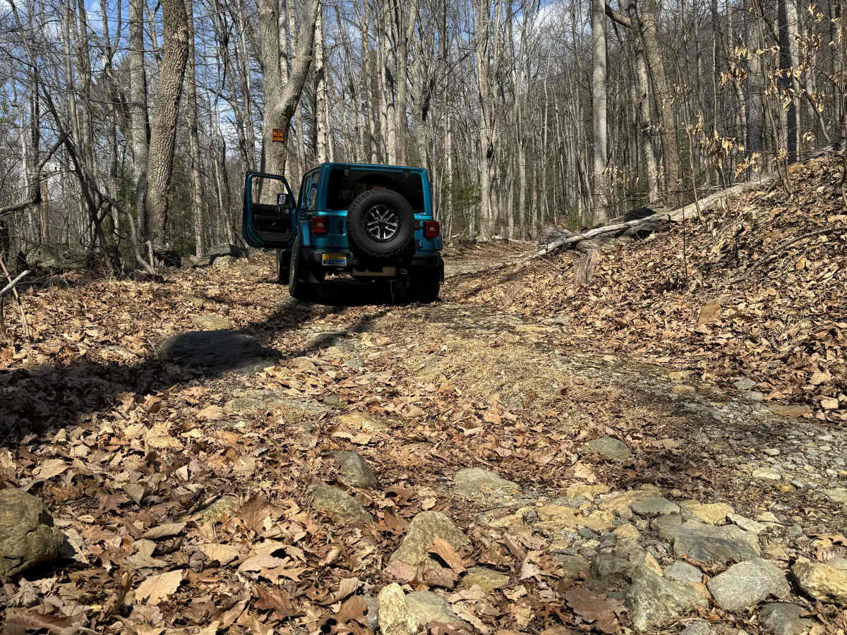
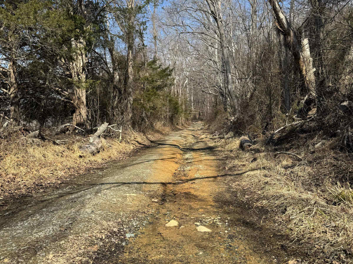
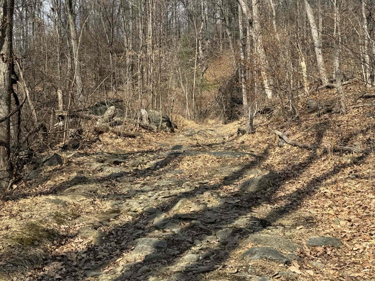
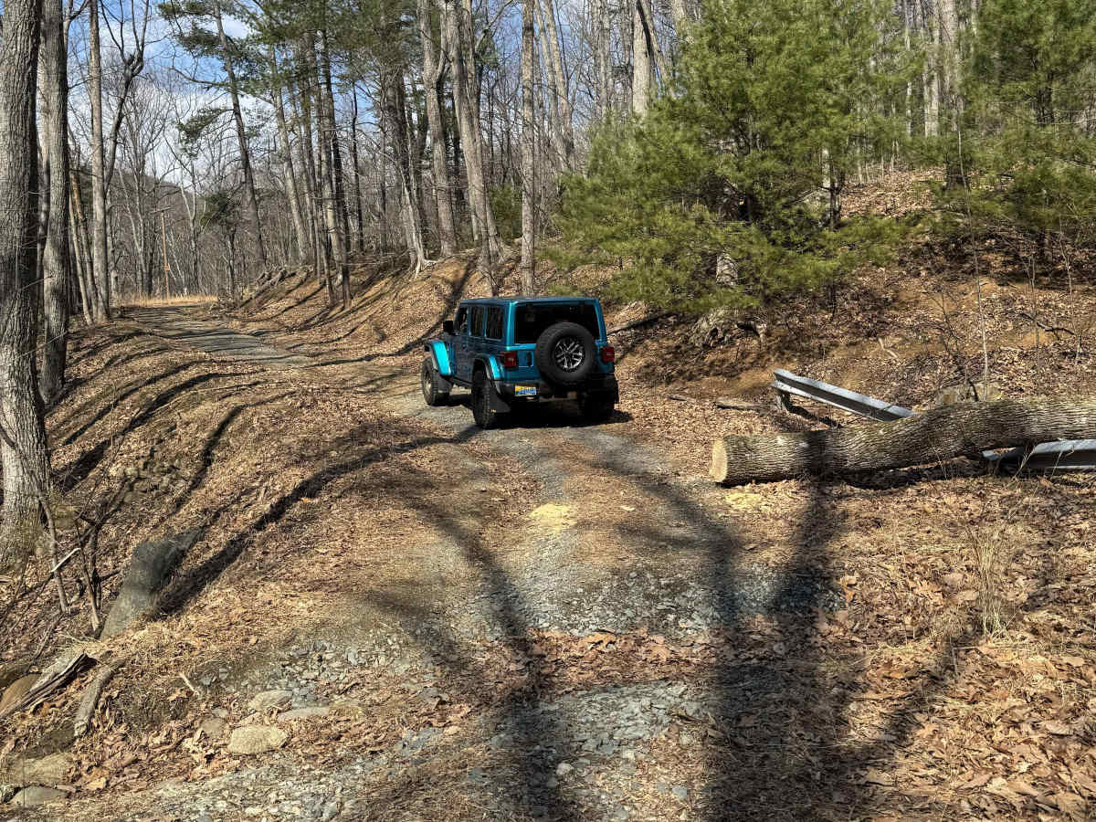
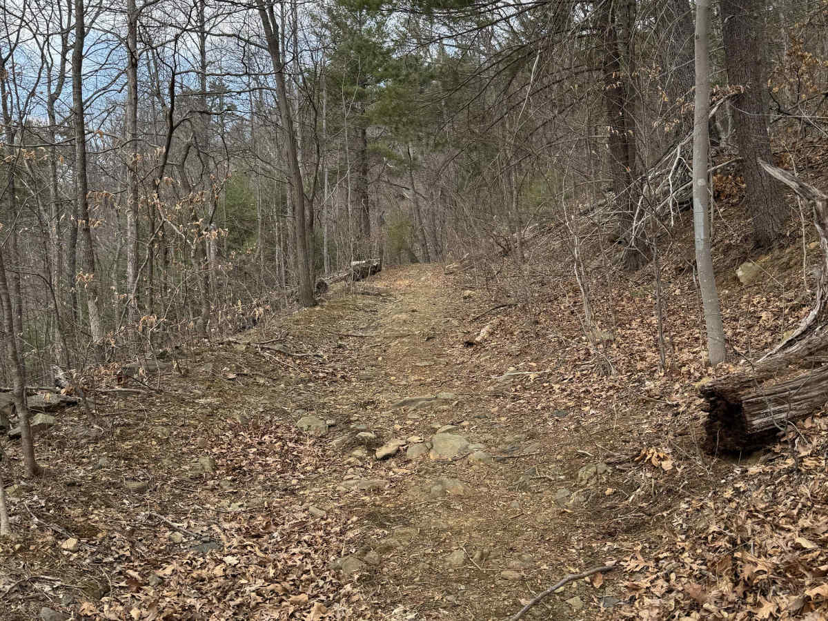
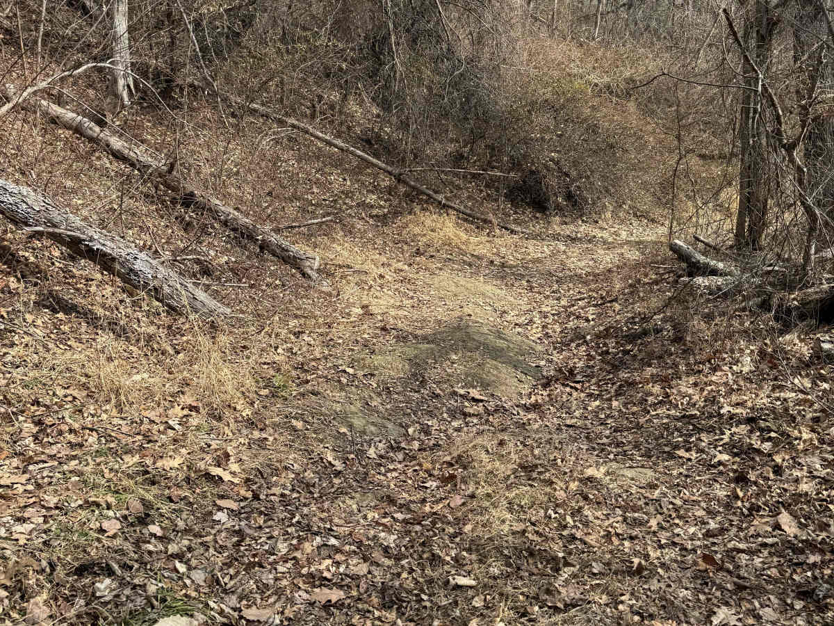
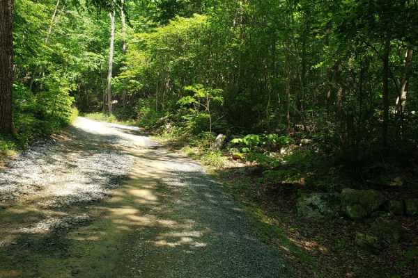
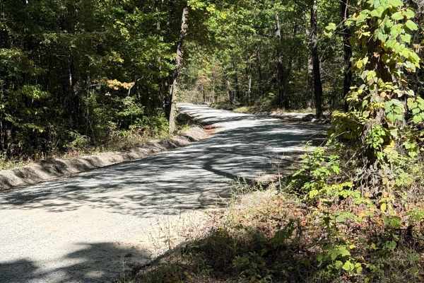
Browns Gap Turnpike, also known as Route 629, is a dead‑end route that terminates at Shenandoah National Park. The route begins as a maintained gravel driveway for roughly the first 10 percent of the trail, with difficulty increasing to about 2/10 due to washouts and channels approximately 6 inches deep. Lower‑clearance vehicles can avoid these channels by straddling the gaps. The terrain becomes rockier farther in, with obstacles around 8 inches high. This level of difficulty continues until roughly 80 percent of the way through the trail, where it increases to 3/10 as larger rocks—approximately 12 to 14 inches high—become more common. A developing washout hazard is present near the lower powerline crossing at the final large bend, and larger vehicles should use caution. The trail ends at the national park boundary, where a chain blocks the path. There’s no clear turnaround at the end, but a turnoff near a private‑property gate offers limited space for turning around or allowing another vehicle to pass. The trail is generally one vehicle wide and offers few opportunities to turn around. It’s narrow, prone to overgrowth, and often obstructed by downed trees. Water crossings are limited to a few shallow springs measuring 1 to 2 inches deep. Traffic is seldom seen on this trail. Hikers and horseback users are common in this area, so be alert. Land adjacent to the trail is private property, and trespassing is prohibited. There are no amenities, and camping isn’t permitted. Cell service is limited and often unavailable.
Difficulty
Difficulty caused by the upper portion of the trail, where a large, hazardous washout is forming, as well as much larger rocks (with one obstacle being approximately 12 inches). The majority of this trail is a 2. Difficulty is chosen by the most challenging obstacles.