Hog Camp

Total Miles5.8
Technical Rating
3Easy
Best TimeSpring, Summer, Fall, Winter
Trail TypeFull-Width Road
Accessible By
Open Trail Map

Trail Overview

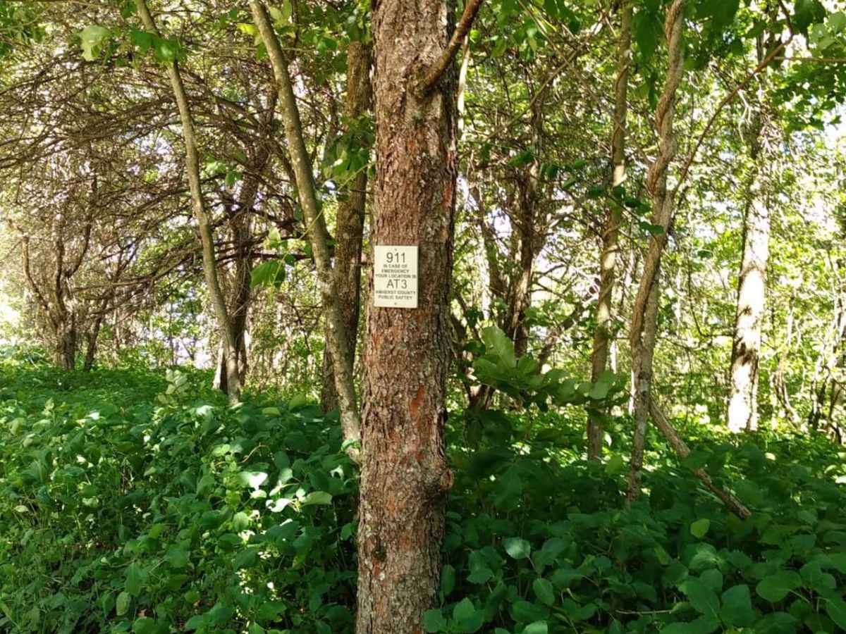
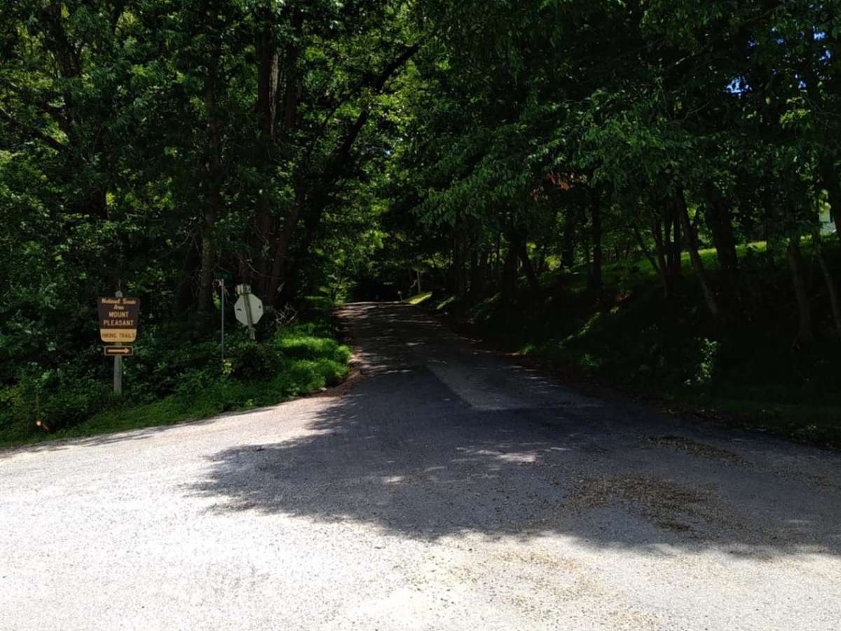
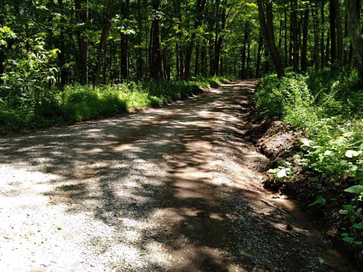
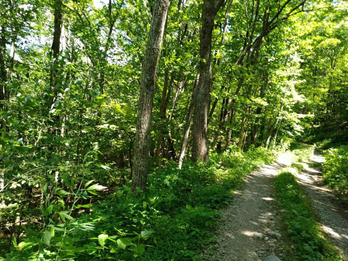
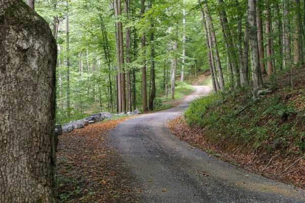
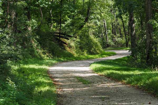
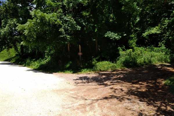
Hog Camp Road is a scenic 5.8-mile mountain route through the George Washington National Forest, perfect for stock four-wheel-drive vehicles, high-clearance SUVs, and SxSs looking for high-elevation access. Climbing over 1,200 feet from a minimum elevation of 2,465 feet up to a peak of 3,505 feet, this dirt and gravel forest road winds through dense hardwoods and offers direct access to prime hiking and dispersed camping near the Mount Pleasant Scenic Area. While the southern and western portions of the trail are relatively smooth and well-traveled, the path becomes increasingly rugged as it heads north, requiring careful wheel placement over loose rocks and minor ledge obstacles. Rated a 3 out of 10, the route features technical challenges limited to occasional ruts and small rock ledges measuring up to 12 inches tall, which can easily be negotiated with standard high clearance and a capable four-wheel-drive system. The trail culminates near Salt Log Gap at 3,235 feet, where it connects with Forest Road 63, offering opportunities to extend the adventure or loop back down the mountain. Along the way, travelers will pass near iconic spots like Hog Camp Gap and Cole Mountain, which are highly popular for hiking the Appalachian Trail and taking in panoramic blue-ridge views. The road is typically accessible from spring through late autumn, though winter snows can make the higher elevations impassable without recovery gear.

Photos of Hog Camp

Difficulty

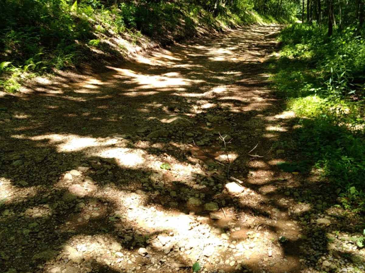
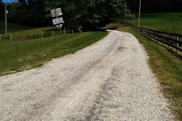
The trail is mostly gravel, and the rough sections include ledges less than 12" tall.

Technical Rating

3

Status Reports

Add Status Report
Michael Mills
May 24, 2026
Open
Muddy/Wet
Conditions were wet due to recent rainfall. The trail is very short and can be easily navigated in 2WD without airing down. Expect to see other vehicles parked roadside for area campers/hikers.
Santa
May 16, 2026
Open
Normal
Jackson Bradley
Aug 16, 2025
Open
Took Coffeytown to the parking lot for the AT crossing. Very tame, aside from one unavoidable rutted out section. Potholes offset (probably 5-6) spanning the width of the trail, probably a foot deep or perhaps more in some spots. Bronco on 35s didn’t miss a beat, but saw a sedan and mini-van contemplating life decisions looking hesitant about trying it. Would recommend a high clearance 4x4 just based on that one part (any somewhat off-road capable suv would probably be fine).
Christine Francis
May 18, 2025
2018 Jeep Wrangler
Open
Normal
Definitely an easy trail. Nothing hard about it. Definitely rocky in some spots that will shake you to death. But overall, a very easy one.
Russell Dalton
Sep 14, 2024
Open
Russell Dalton
Sep 08, 2024
Open
Cool Trail.
BigPapaPickle
Sep 08, 2024
2010 Lexus GX
Open
NormalDusty
Mark Mayhew
Aug 04, 2024
2023 Toyota 4Runner
Open
Muddy/Wet
Narrow trail through the woods along steep mountain sides.
Dakota Payne
Jul 26, 2024
2024 Honda Transalp
Open
little washed out but not bad
Crissy Roakes
Oct 21, 2023
Open
Jeremy Schreher
Jun 01, 2023
Open
NormalMuddy/Wet

Hog Camp Trail can be accessed by the following ride types:

  • Single Track
  • 50 Inch
  • 60 Inch
  • High Clearance
  • Full Width

Access Description

Hog Camp Road is located within the Pedlar Ranger District of the George Washington and Jefferson National Forests. No permits or fees are required to drive the road or for dispersed camping at established sites. The road is open seasonally, typically from spring through late fall, and may be closed during winter months due to snow and ice.

Hog Camp Map

The onX Offroad Difference

onX Offroad combines trail photos, descriptions, difficulty ratings, width restrictions, seasonality, and more in a user-friendly interface. Available on all devices, with offline access and full compatibility with CarPlay and Android Auto. Discover what you're missing today!

Open Trail Map