Jordan Road

Total Miles3.6
Technical Rating
2Easy
Best TimeSpring, Fall, Summer
Trail TypeFull-Width Road
Accessible By
Open Trail Map

Trail Overview

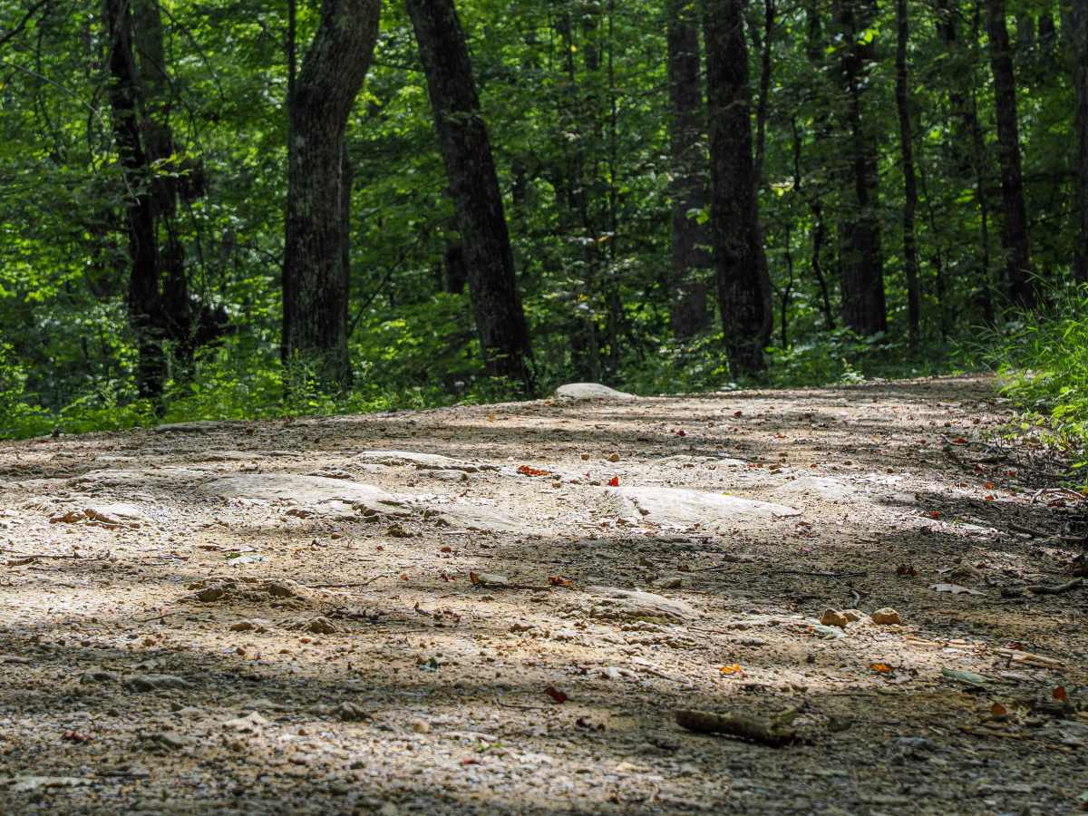
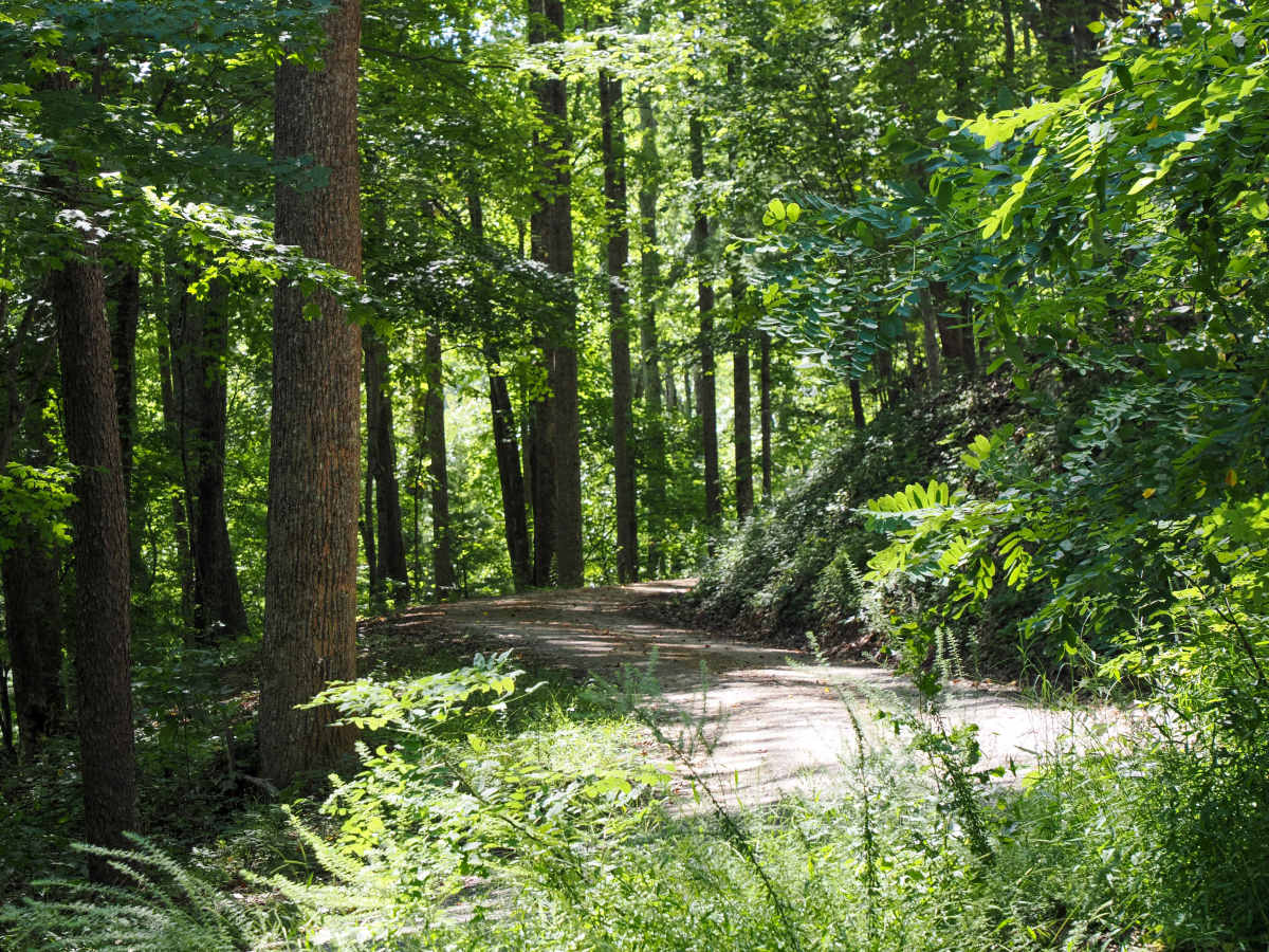
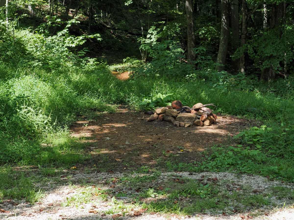
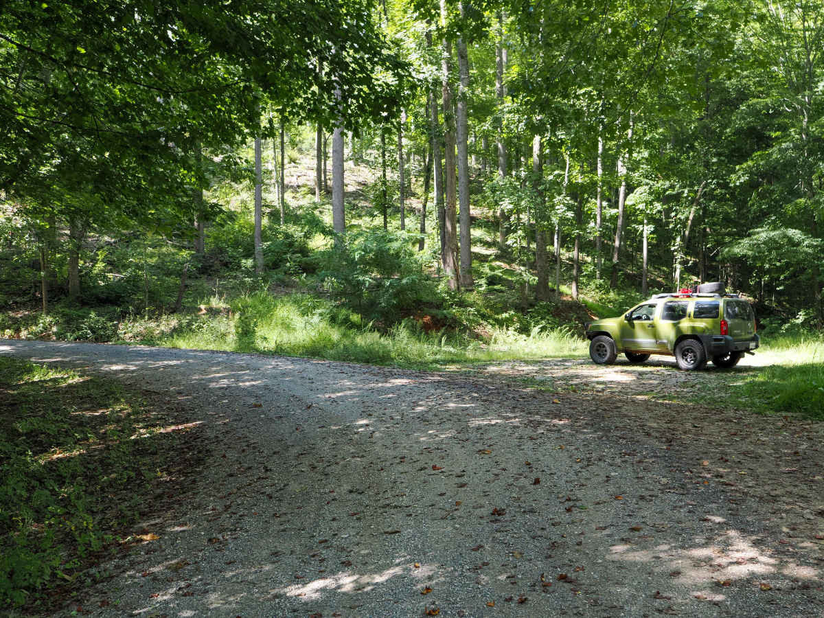
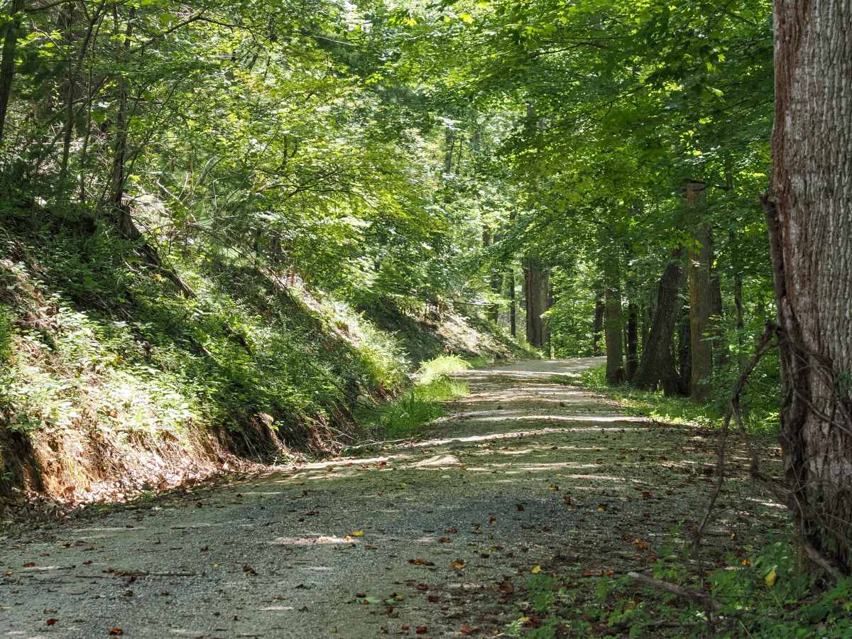
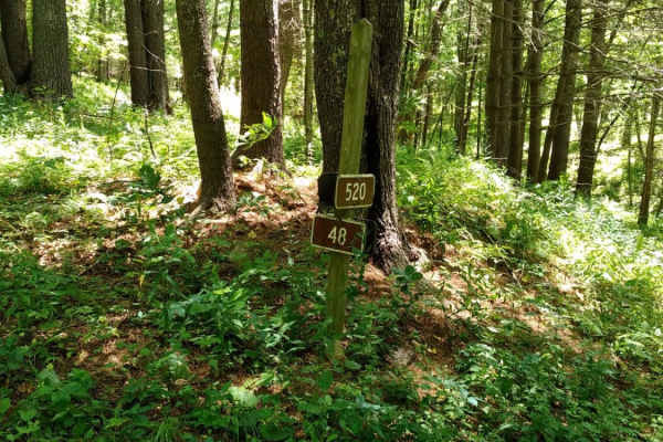
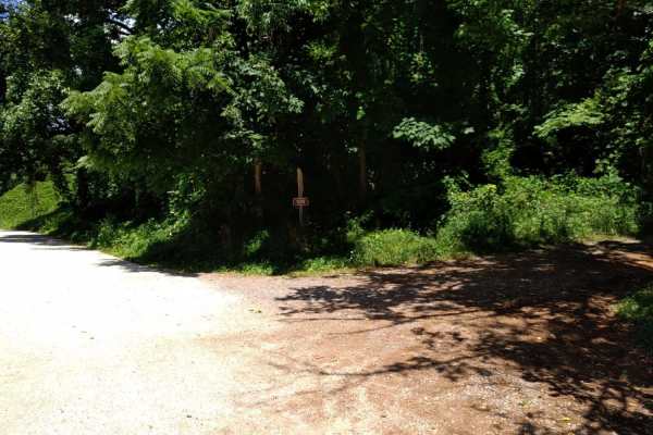
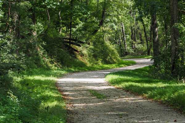
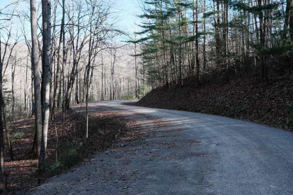
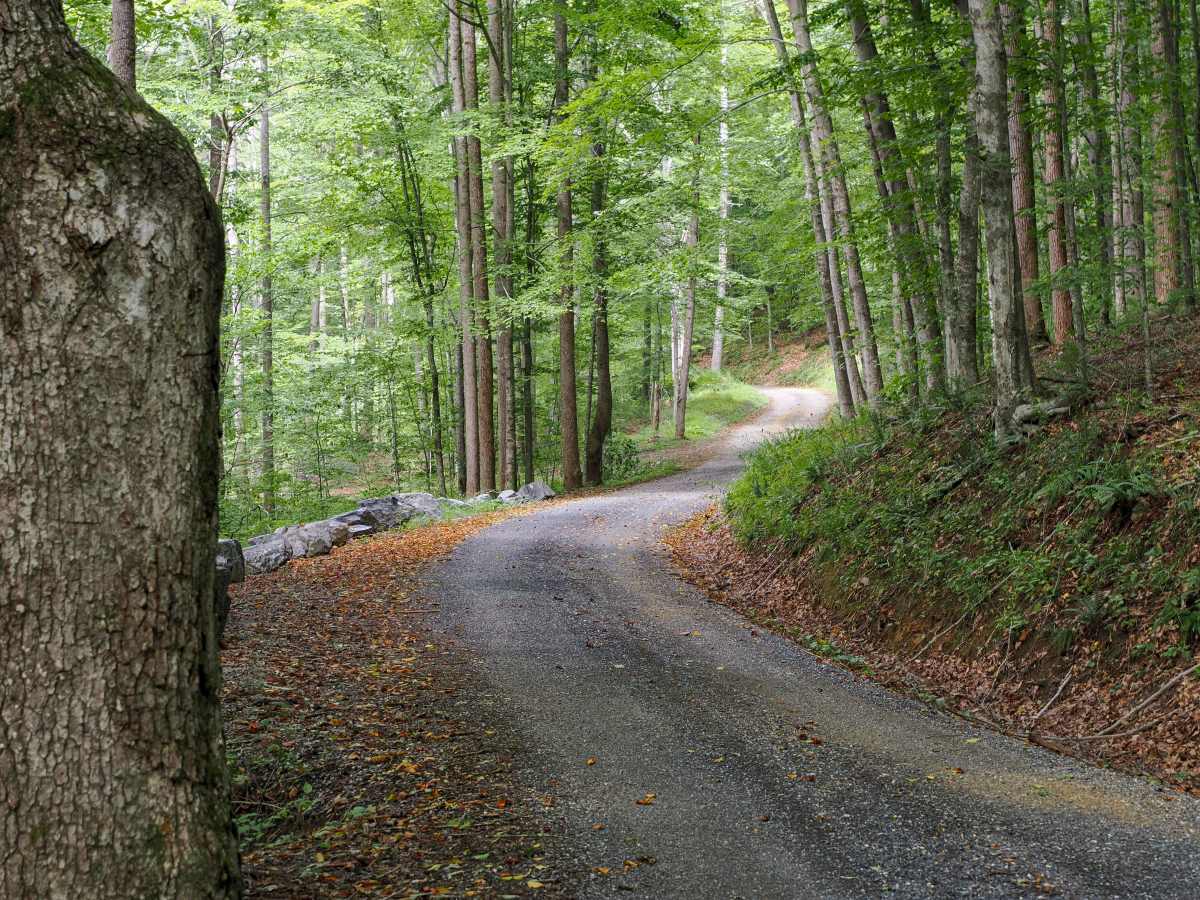
This forest road climbs 3.6 miles from the free campground at Oronoco, in the George Washington National Forest near the Mount Pleasant Scenic Area, gaining about 950 feet on the way up toward the Blue Ridge Parkway. It runs single-wide for the entire route through beautiful hardwood forest, with a handful of dispersed camp spots scattered along the way in addition to the campground at the bottom. The surface stays packed and manageable lower down, then gets slightly rockier as it nears the parkway. Because the road ties directly into the parkway, it gets gated and closed whenever the parkway itself closes for weather or other conditions. This trail is suitable for all skill levels! Remember to practice Tread Lightly principles when exploring!

Photos of Jordan Road

Difficulty

Well-graded for most of the climb, with slightly larger rocks picking up in the final stretch below the parkway. Most high-clearance 2WD vehicles and beyond can complete this trail. Being single-wide, watch for oncoming traffic on the blind curves.

Technical Rating

2

Jordan Road Trail can be accessed by the following ride types:

  • High Clearance
  • Full Width

Jordan Road Map

The onX Offroad Difference

onX Offroad combines trail photos, descriptions, difficulty ratings, width restrictions, seasonality, and more in a user-friendly interface. Available on all devices, with offline access and full compatibility with CarPlay and Android Auto. Discover what you're missing today!

Open Trail Map