FR1176

Total Miles1.7
Technical Rating
3Easy
Best TimeSpring, Summer, Fall, Winter
Trail TypeFull-Width Road
Accessible By
Open Trail Map

Trail Overview

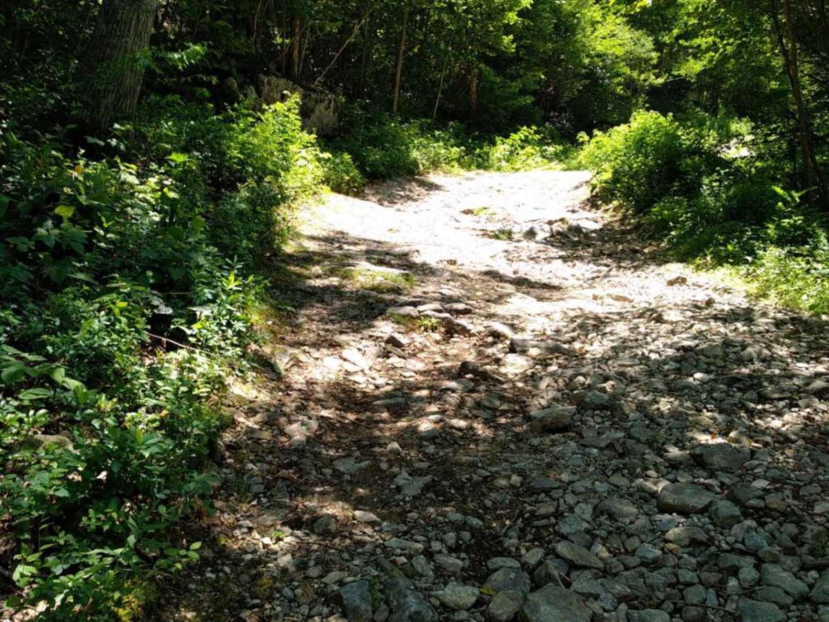
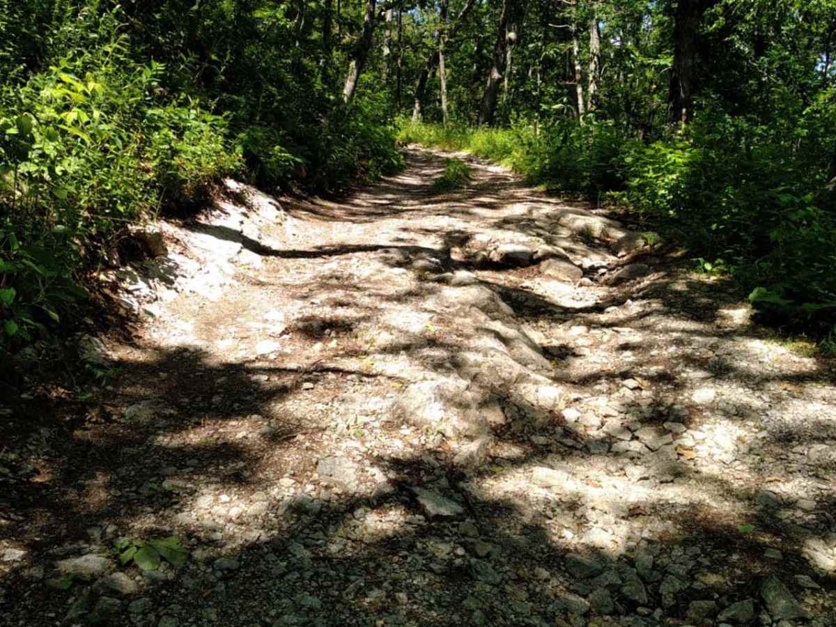
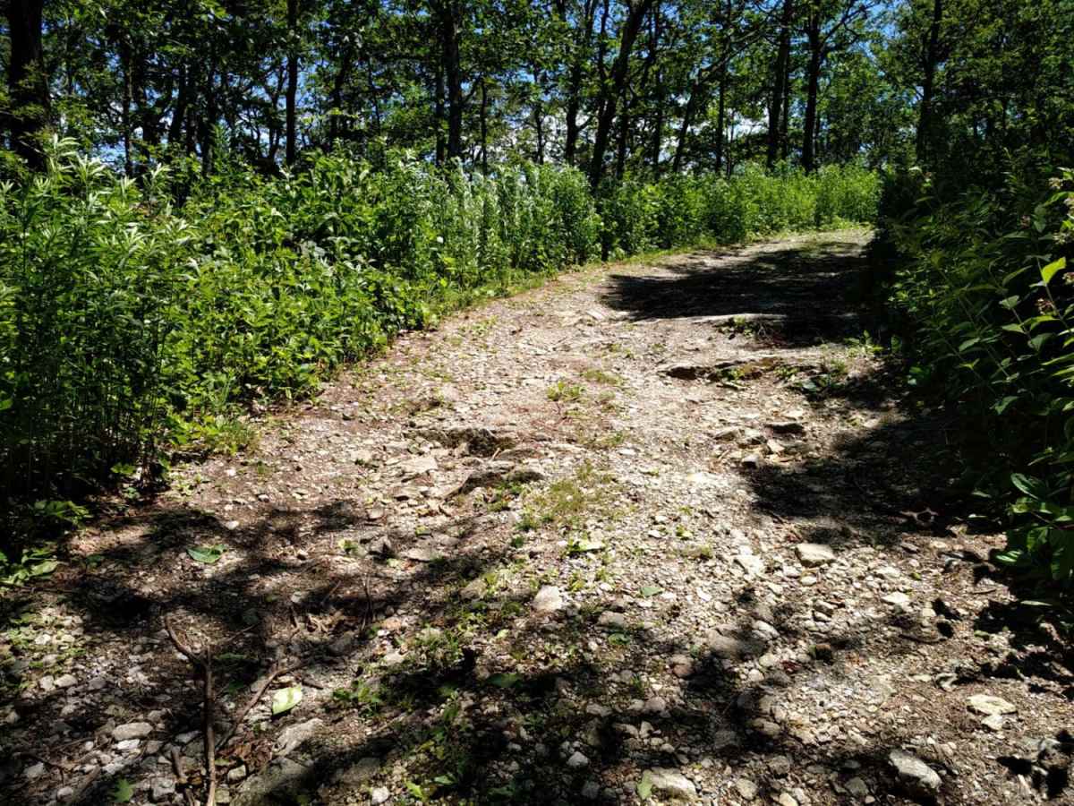
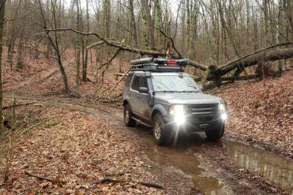
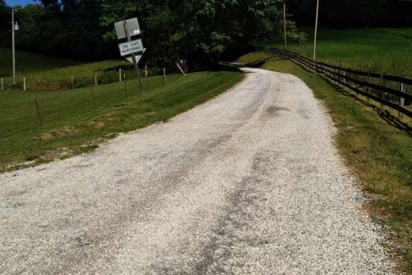
FR1176 is a scenic 1.7-mile mountain trail ascending from Salt Log Gap to the summit of Rocky Mountain, offering stock 4WD vehicles a manageable climb with dirt, rocks, and seasonal Blue Ridge views.

Photos of FR1176

Difficulty

Very easy. Ledges are less than 12" high.

Technical Rating

3

Status Reports

Add Status Report
Aaron Webb
Jun 16, 2024
Open
Normal
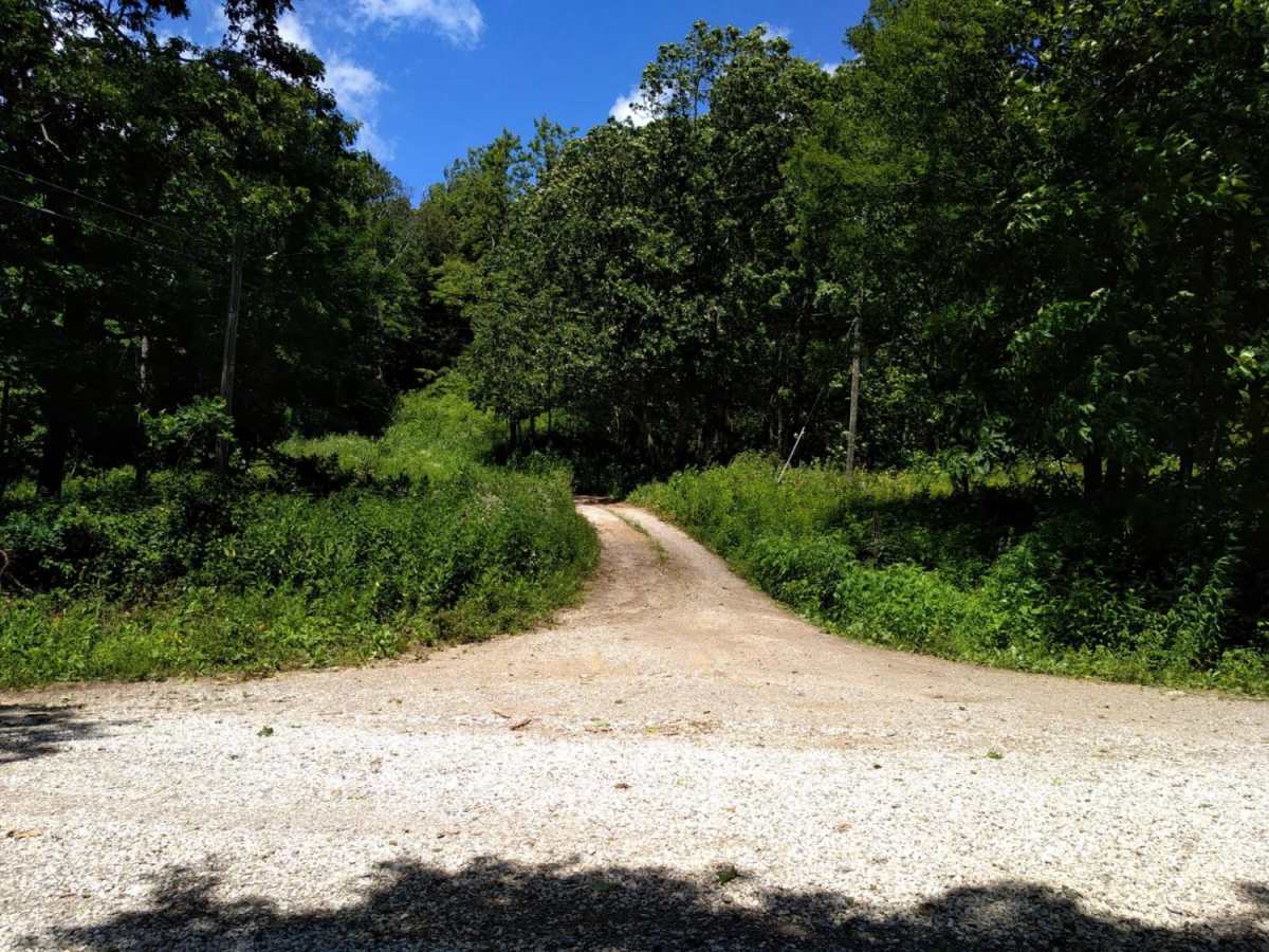
Easy ride up to the top. A bit bumpy but nothing hard. As I was going up, a Honda CRV was coming down, so it can easily be accessed by a sedan. Not much of a view at the top due to trees blocking the view. If you go over to whwre the power lines are going down the mountain, you get a bit of a view but it is obstructed by the poles and lines.

FR1176 Trail can be accessed by the following ride types:

  • Single Track
  • 50 Inch
  • 60 Inch
  • High Clearance
  • Full Width

Access Description

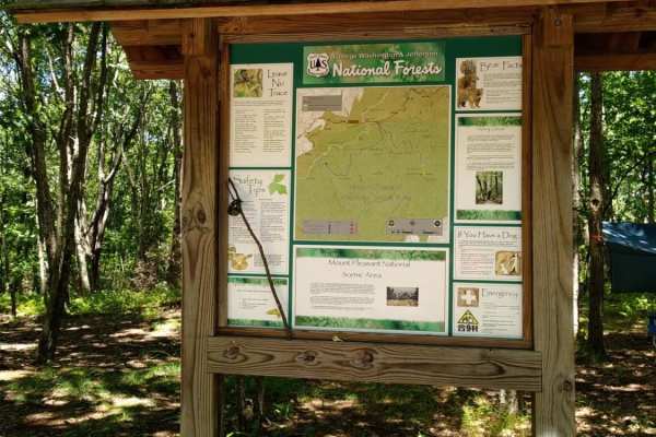
FR1176 is located within the George Washington and Jefferson National Forests and is managed by the U.S. Forest Service. No fees or permits are required to drive the route, but seasonal closures may be implemented during winter or inclement weather. Check with the Glenwood and Pedlar Ranger Districts for up-to-date road status before heading out.

FR1176 Map

The onX Offroad Difference

onX Offroad combines trail photos, descriptions, difficulty ratings, width restrictions, seasonality, and more in a user-friendly interface. Available on all devices, with offline access and full compatibility with CarPlay and Android Auto. Discover what you're missing today!

Open Trail Map